| Name: | Nicholas County |
|---|---|
| FIPS code: | 54-067 |
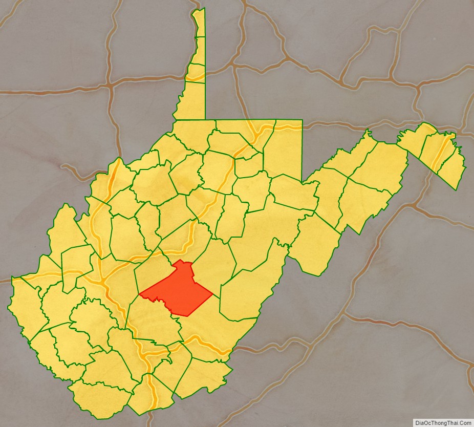
| State: | West Virginia |
| Founded: | January 30, 1818 |
| Named for: | Wilson Cary Nicholas |
| Seat: | Summersville |
| Largest city: | Summersville |
| Total Area: | 654 sq mi (1,690 km²) |
| Land Area: | 647 sq mi (1,680 km²) |
| Total Population: | 24,604 |
| Population Density: | 38/sq mi (15/km²) |
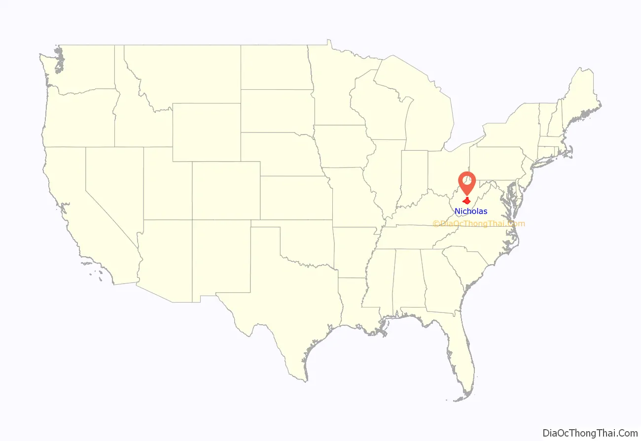
Nicholas County location map. Where is Nicholas County?
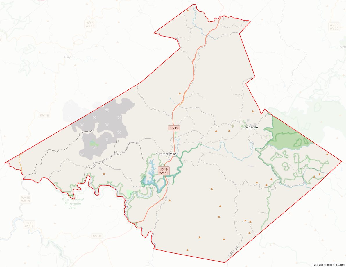
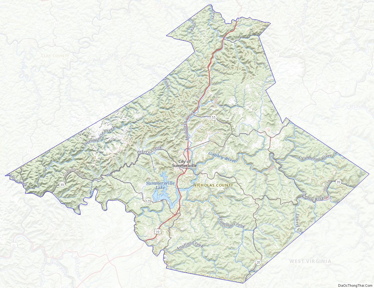
Nicholas County Road Map
Geography
According to the United States Census Bureau, the county has a total area of 654 square miles (1,690 km), of which 647 square miles (1,680 km) is land and 7.6 square miles (20 km) (1.2%) is water.
In 1863, West Virginia’s counties were divided into civil townships, with the intention of encouraging local government. This proved impractical in the heavily rural state, and in 1872 the townships were converted into magisterial districts. Nicholas County was divided into six districts: Grant, Jefferson, Kentucky, Mumble-the-peg, Summersville, and Wilderness. In 1873, Mumble-the-peg became Hamilton District. A seventh district, Beaver, was created in the 1880s.
Major highways
- U.S. Highway 19
- West Virginia Route 20
- West Virginia Route 39
- West Virginia Route 41
- West Virginia Route 55
Battlefields
Carnifex Ferry Battlefield, Keslers Cross Lanes
Adjacent counties
- Braxton County (north)
- Webster County (northeast)
- Greenbrier County (southeast)
- Fayette County (southwest)
- Clay County (northwest)
- Kanawha County (west)
National protected areas
- Gauley River National Recreation Area (part)
- Monongahela National Forest (part)
Nicholas County Topographic Map
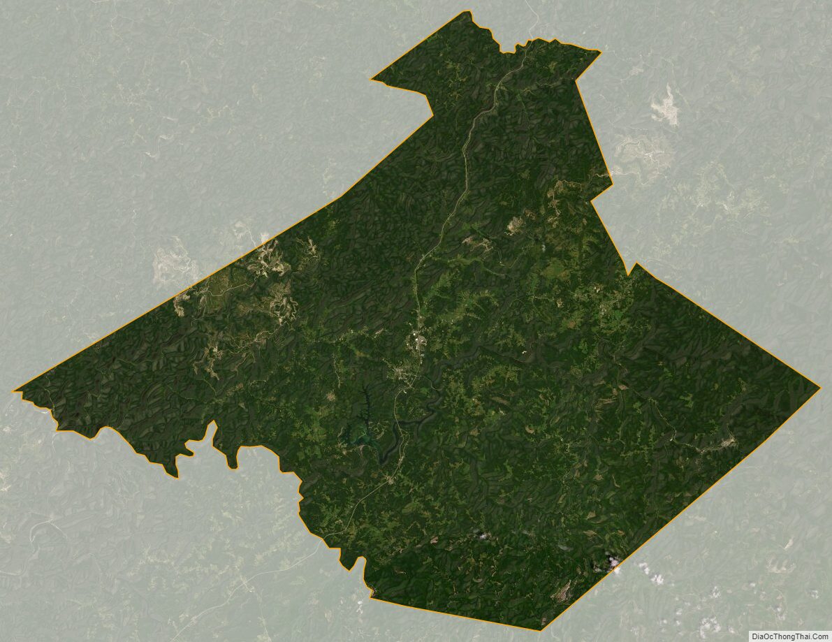
Nicholas County Satellite Map
Nicholas County Outline Map