| Name: | Fayette County |
|---|---|
| FIPS code: | 54-019 |
| State: | West Virginia |
| Founded: | February 28, 1831 |
| Named for: | Marquis de la Fayette |
| Seat: | Fayetteville |
| Largest city: | Oak Hill |
| Total Area: | 668 sq mi (1,730 km²) |
| Land Area: | 662 sq mi (1,710 km²) |
| Total Population: | 40,488 |
| Population Density: | 61/sq mi (23/km²) |
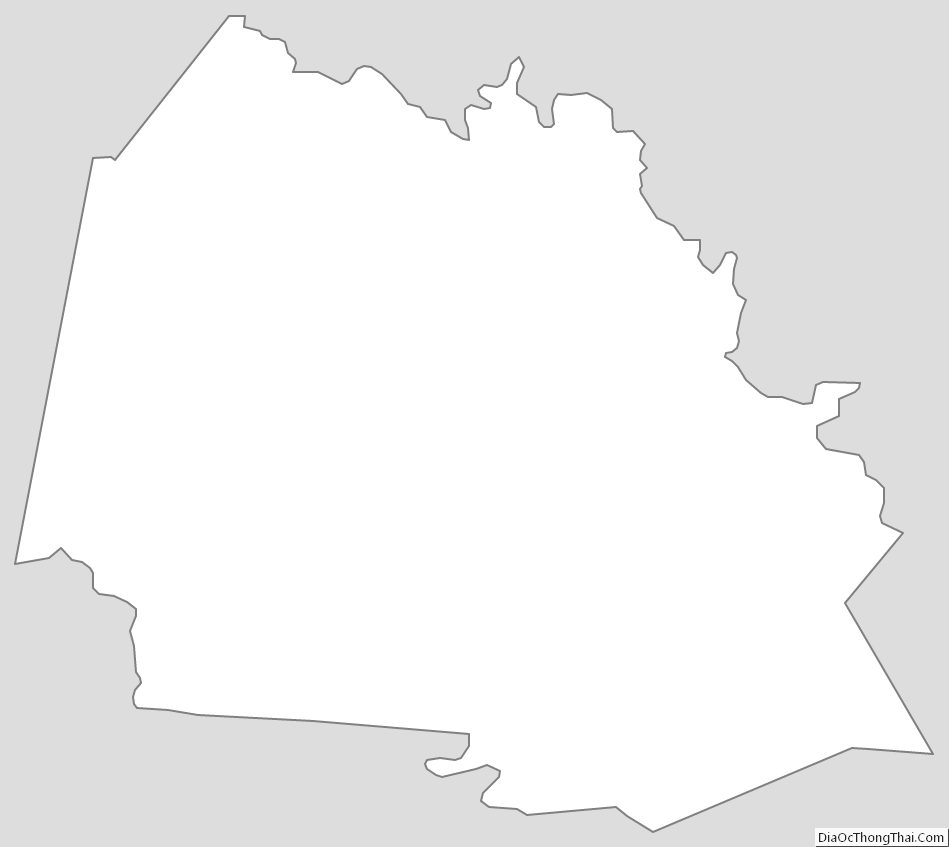
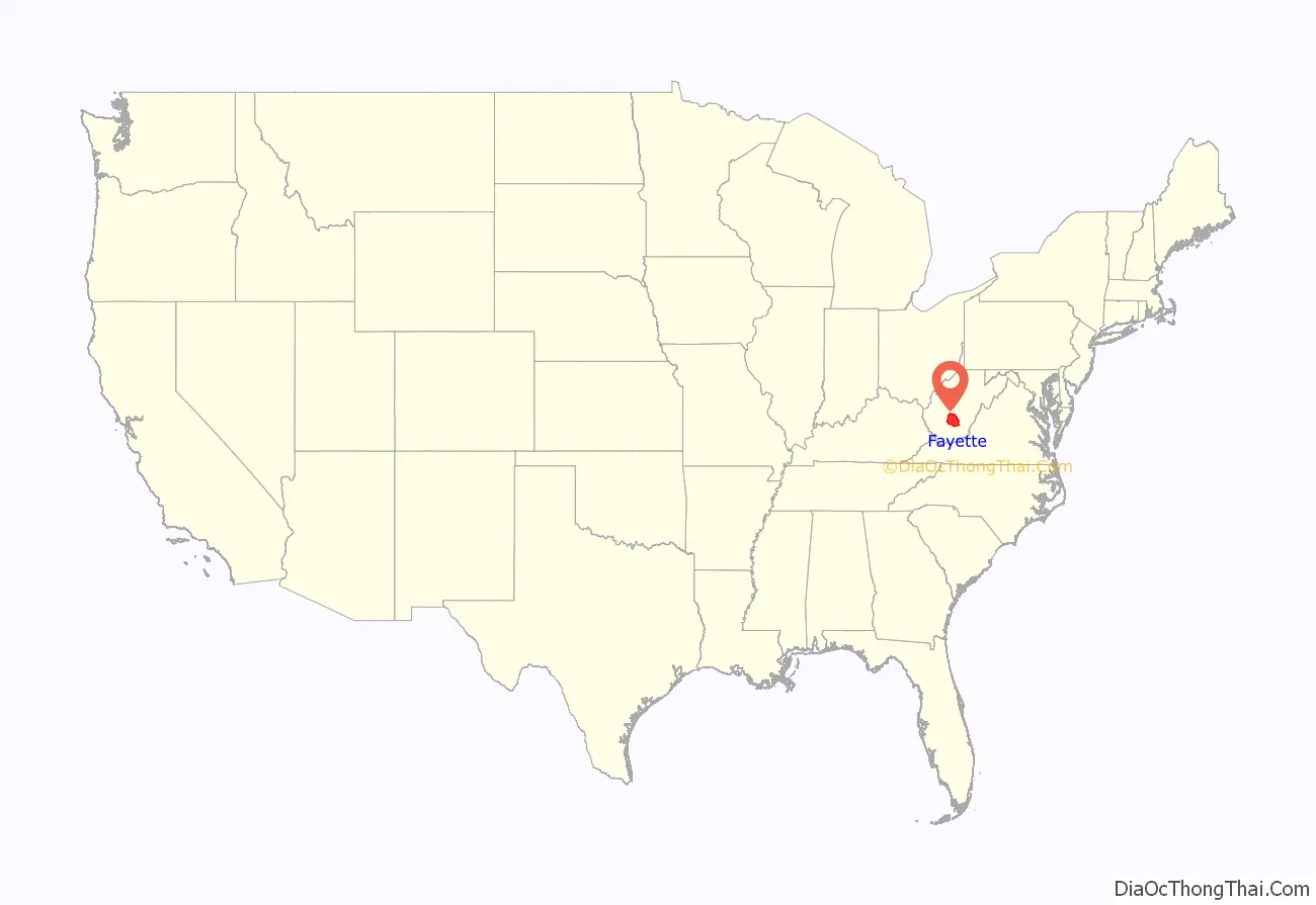
Fayette County location map. Where is Fayette County?
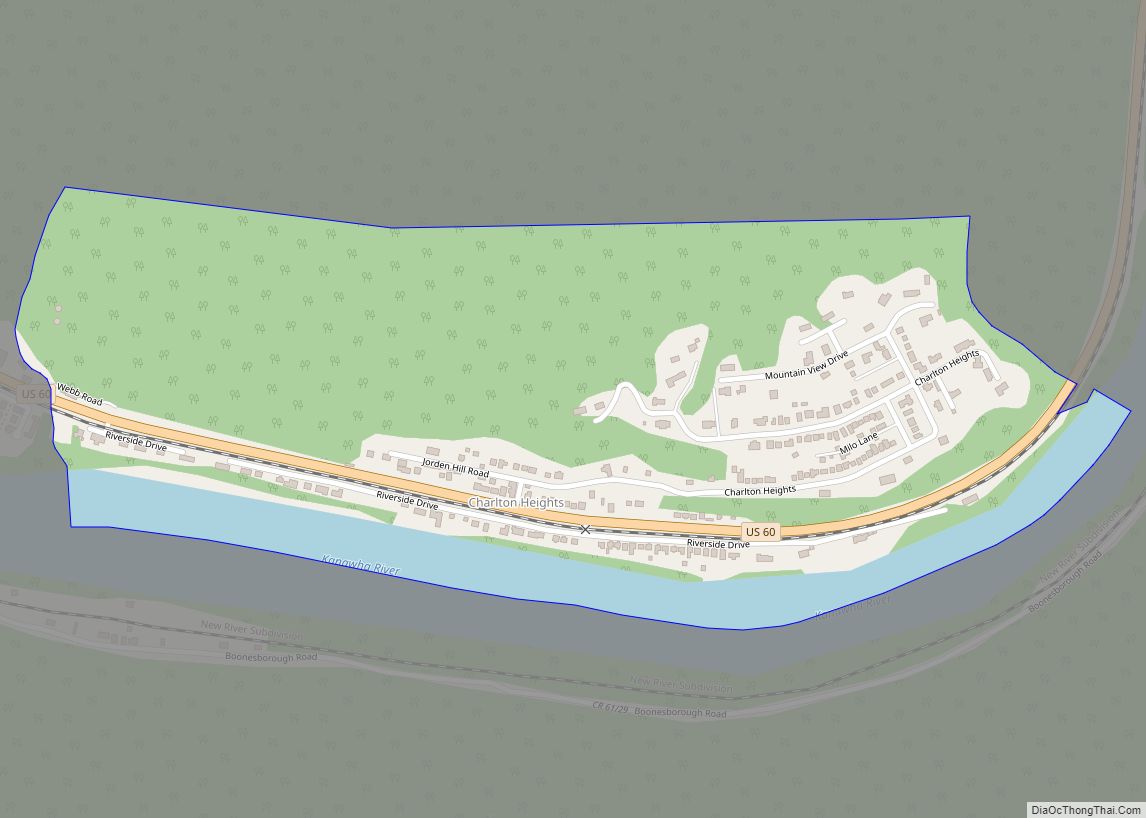
History
Fayette County—originally Fayette County, Virginia—was created by the Virginia General Assembly in February 1831, from parts of Greenbrier, Kanawha, Nicholas, and Logan counties. It was named in honor of the Marquis de la Fayette, who had played a key role assisting the Continental Army during the American Revolutionary War.
The second Virginia county so named, it was among the 50 counties which Virginia lost when West Virginia was admitted to the Union as the 35th state in 1863, during the American Civil War. The earlier Fayette County, Virginia existed from 1780 to 1792, and was lost when Kentucky was admitted to the Union. Accordingly, in the government records of Virginia, there will be listings for Fayette County from 1780 to 1792 and Fayette County from 1831 to 1863.
A substantial portion was subdivided from Fayette County to form Raleigh County in 1850. In 1871, an Act of the West Virginia Legislature severed a small portion to form part of Summers County.
In 1863, West Virginia’s counties were divided into civil townships, with the intention of encouraging local government. This proved impractical in the heavily rural state, and in 1872 the townships were converted into magisterial districts. Fayette County was originally divided into four townships: Falls, Fayetteville, Mountain Cove, and Sewell Mountain. A fifth township, Kanawha, was formed from part of Falls Township in 1870. The portion of Fayette County that was taken to form Summers County was from Sewell Mountain Township. In 1872, the county’s five townships were converted into magisterial districts. A sixth district, Quinnimont, was organized in the 1880s, and a seventh, Nuttall, was formed from part of Mountain Cove District in the 1890s. In the 1970s, the historic magisterial districts were consolidated into three new districts: New Haven, Plateau, and Valley.
Fayette County was the location of a disastrous mine explosion at Red Ash in March 1900, in which 46 miners were killed.
Fayette County elected several African Americans to the West Virginia House of Delegates during the early decades of the 20th century including the first, second and third who served in the state legislature.
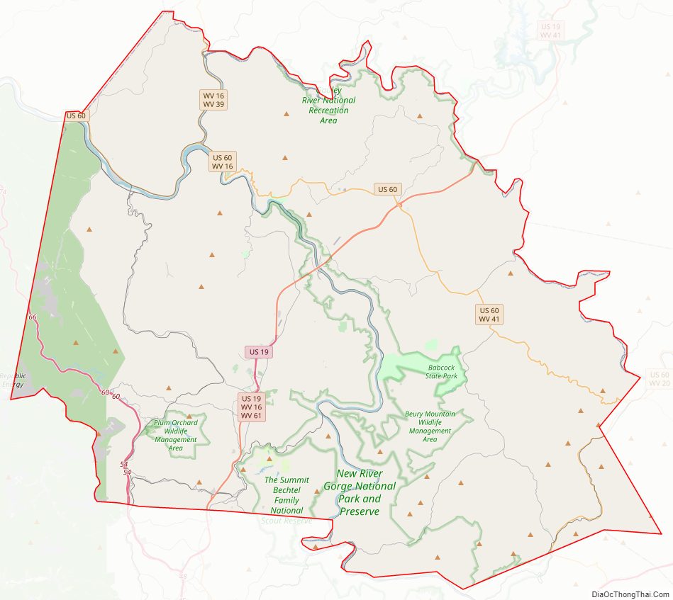
Fayette County Road Map
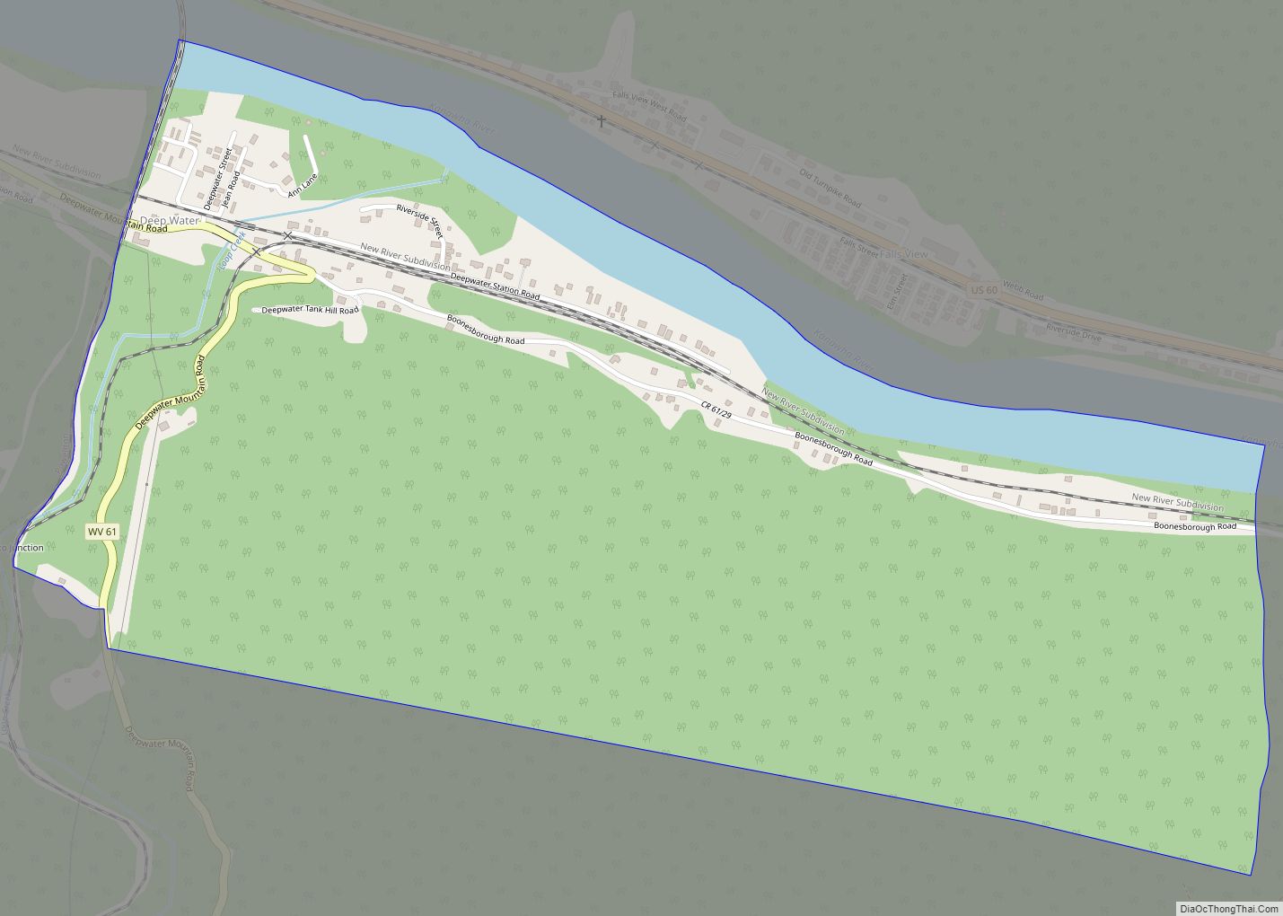
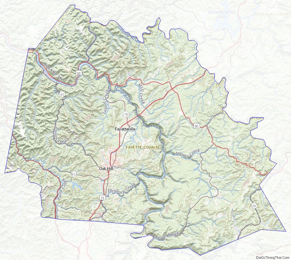
Geography
According to the United States Census Bureau, the county has a total area of 668 square miles (1,730 km), of which 662 square miles (1,710 km) is land and 6.8 square miles (18 km) (1.0%) is water. Plum Orchard Lake, a reservoir southwest of Oak Hill, is the second largest lake in West Virginia.
Major highways
- Interstate 64
- Interstate 77
- U.S. Route 19
- U.S. Route 60
- West Virginia Route 16
- West Virginia Route 39
- West Virginia Route 41
- West Virginia Route 61
- West Virginia Route 612
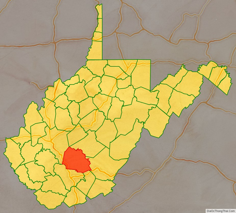
Adjacent counties
- Nicholas County (north)
- Greenbrier County (east)
- Summers County (southeast)
- Raleigh County (south)
- Kanawha County (west)
National protected areas
- Gauley River National Recreation Area (part)
- New River Gorge National Park and Preserve (part)
Fayette County Topographic Map
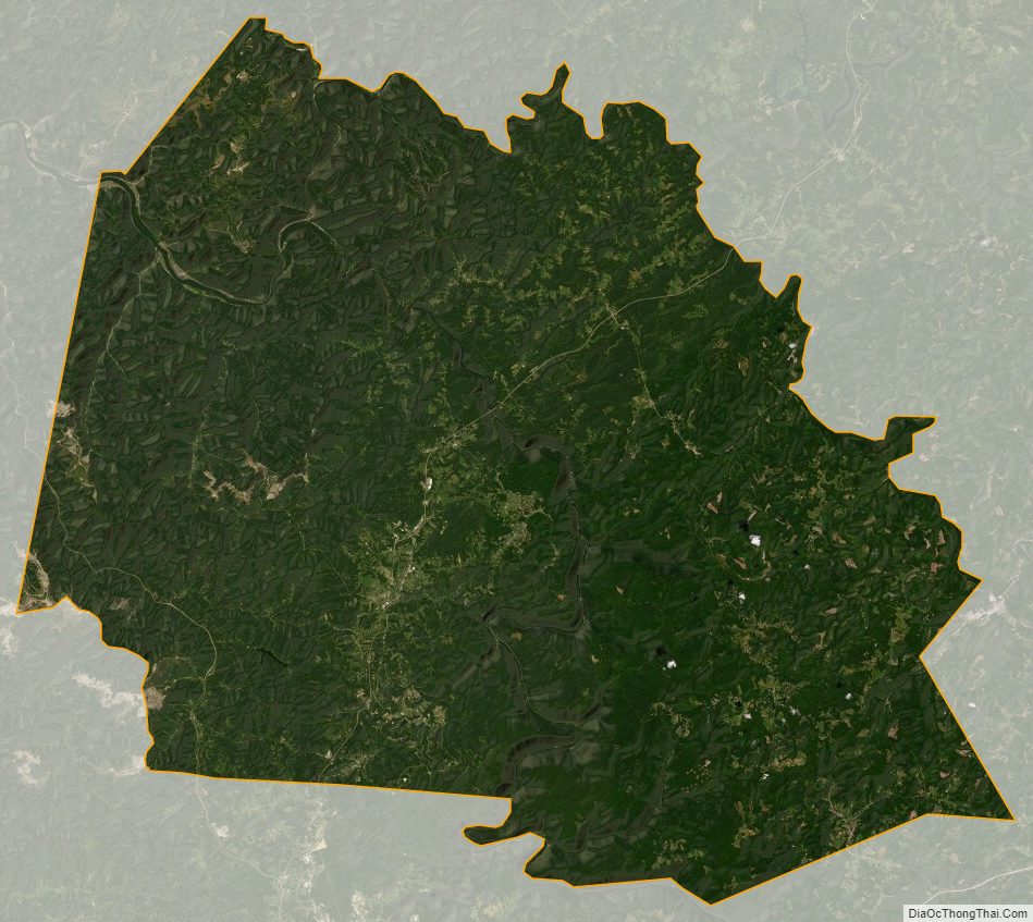
Fayette County Satellite Map
Fayette County Outline Map