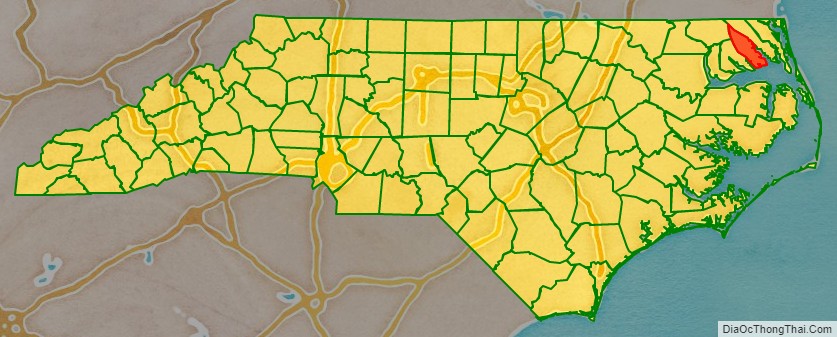
Pasquotank County (/ˈpæskwətæŋk/ (listen)) is a county located in the U.S. state of North Carolina. As of the 2020 census, the population was 40,568. Its county seat is Elizabeth City. The county was originally created as Pasquotank Precinct and gained county status in 1739. Pasquotank County is part of the Elizabeth City, NC Micropolitan Statistical Area, which is also included in the Virginia Beach–Norfolk, VA-NC Combined Statistical Area.
| Name: | Pasquotank County |
|---|---|
| FIPS code: | 37-139 |
| State: | North Carolina |
| Founded: | 1668 |
| Named for: | Indian word meaning “where the current of the stream divides or forks” |
| Seat: | Elizabeth City |
| Largest city: | Elizabeth City |
| Total Area: | 289 sq mi (750 km²) |
| Land Area: | 227 sq mi (590 km²) |
| Total Population: | 40,568 |
| Population Density: | 140/sq mi (54/km²) |
| Time zone: | UTC−5 (Eastern) |
| Summer Time Zone (DST): | UTC−4 (EDT) |
| Website: | www.co.pasquotank.nc.us |
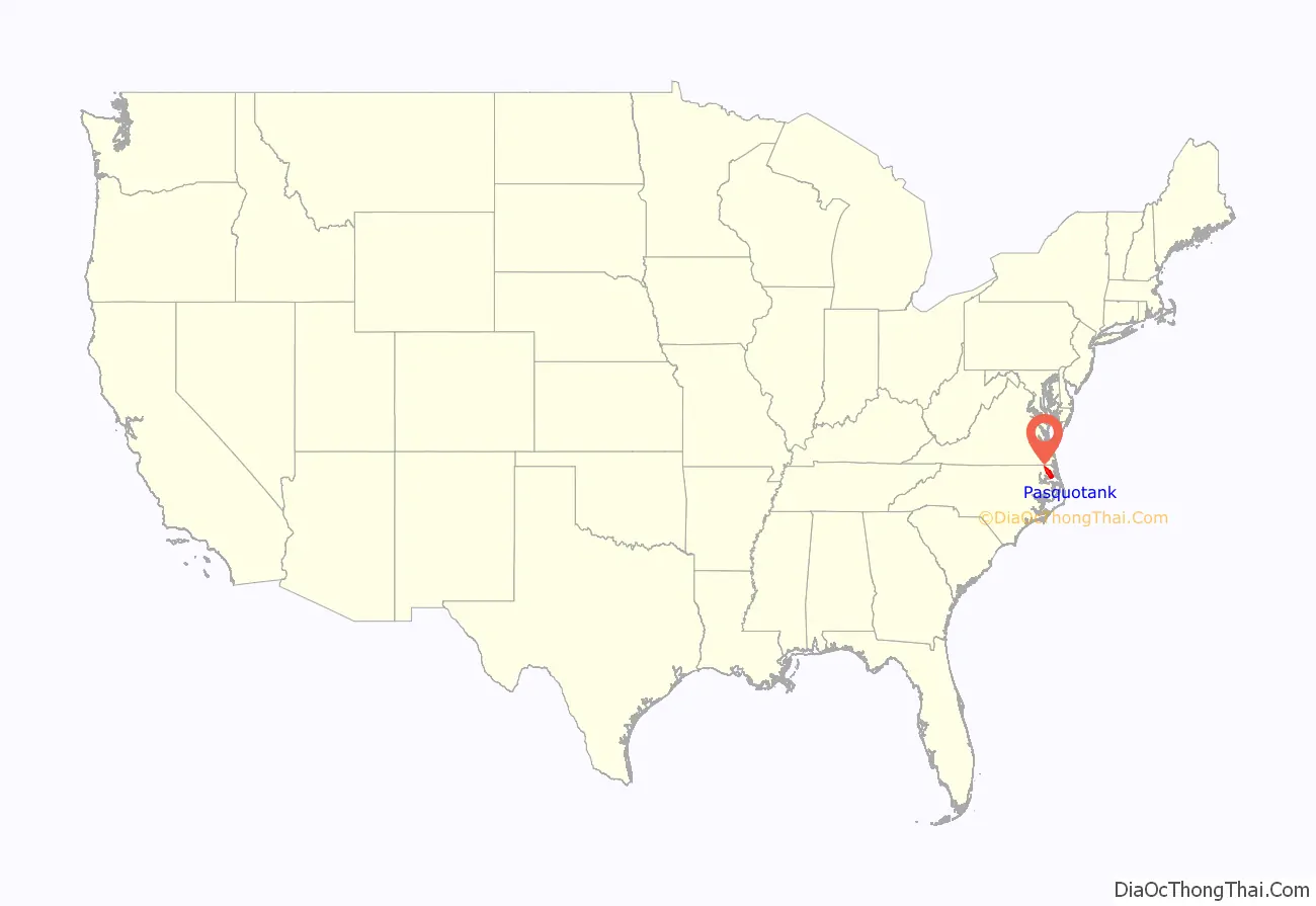
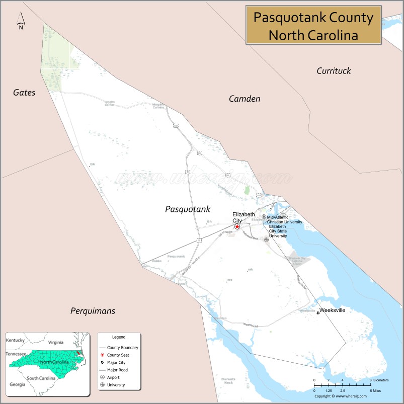
Pasquotank County location map. Where is Pasquotank County?
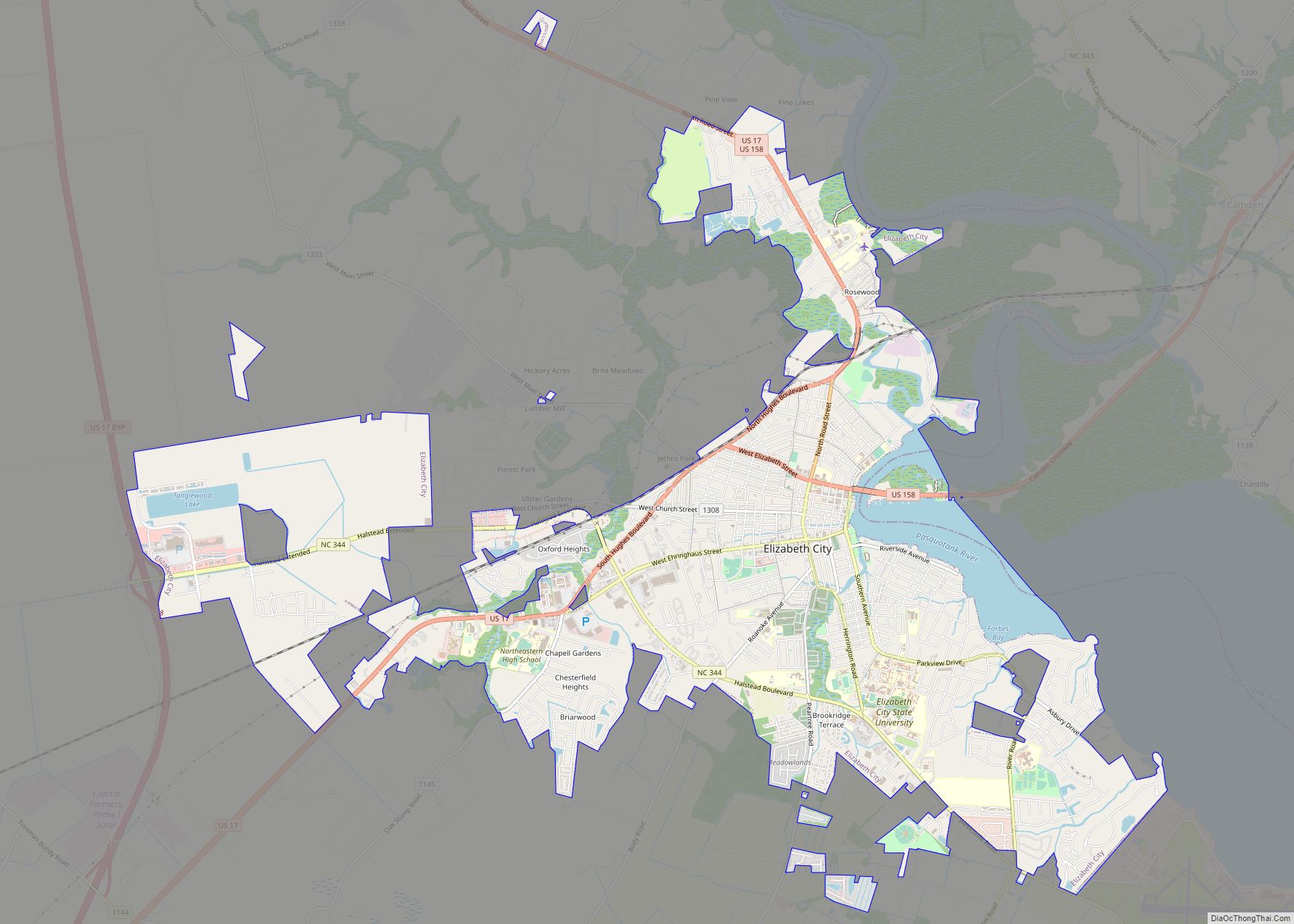
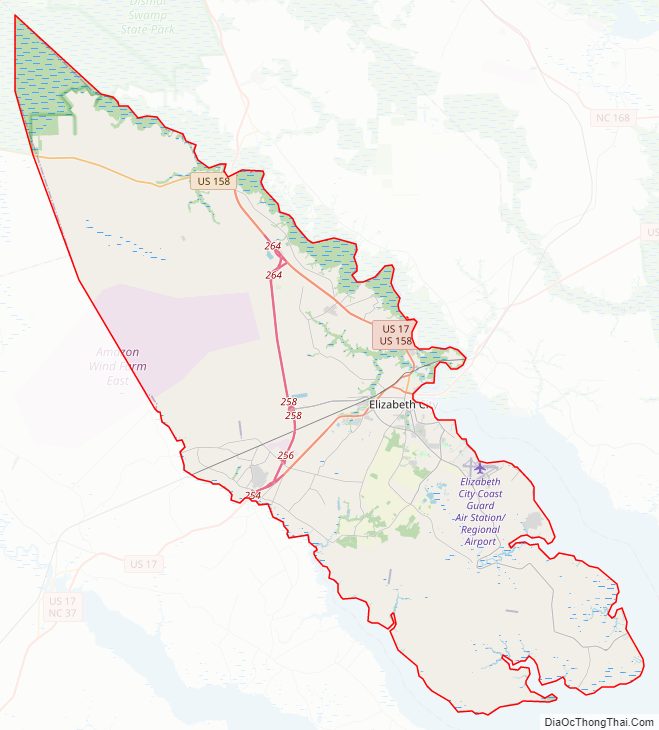
Pasquotank County Road Map
Geography
According to the U.S. Census Bureau, the county has a total area of 289 square miles (750 km), of which 227 square miles (590 km) is land and 63 square miles (160 km) (22%) is water. It is the fifth-smallest county in North Carolina by land area.
Almost all of the terrain in Pasquotank County is flatland with a topography near sea level, a characteristic of most of North Carolina’s Coastal Plain. The county is flanked by two rivers: the Pasquotank and the Little River.
National protected area
- Great Dismal Swamp National Wildlife Refuge (part)
Major water bodies
- Albemarle Sound
- Big Flatty Creek
- Intracoastal Waterway
- Little River
- Newbegun Creek
- Pasquotank River
Adjacent counties
- Tyrrell County – south
- Camden County – east
- Perquimans County – southwest
- Gates County – northwest
Major highways
- Future I-87 (Concurrency with US 17)
- US 17
- US 17 Bus.
- US 17 Bus. Truck
- US 17 Byp.
- US 158
- NC 344
Major infrastructure
- Elizabeth City Regional Airport
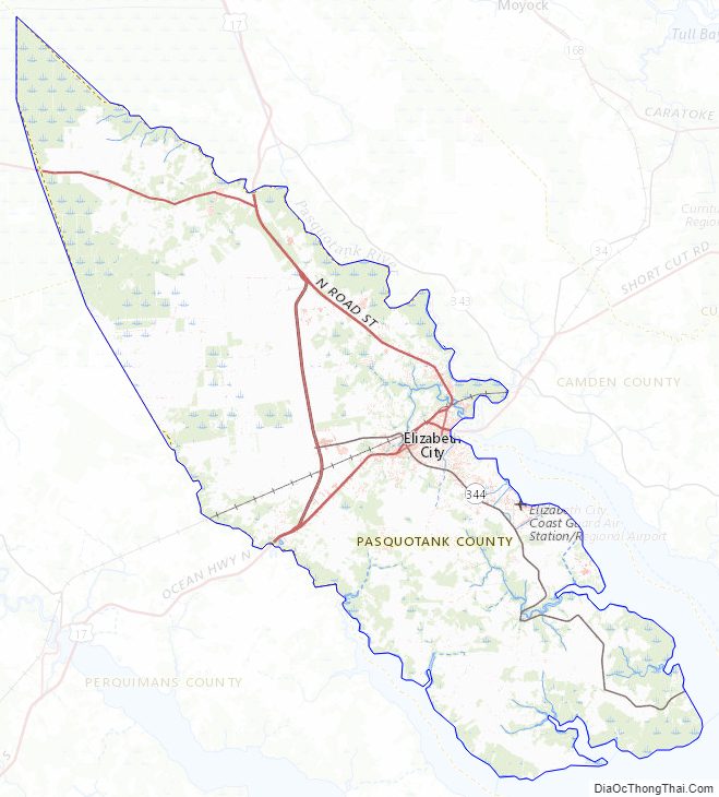
Pasquotank County Topographic Map
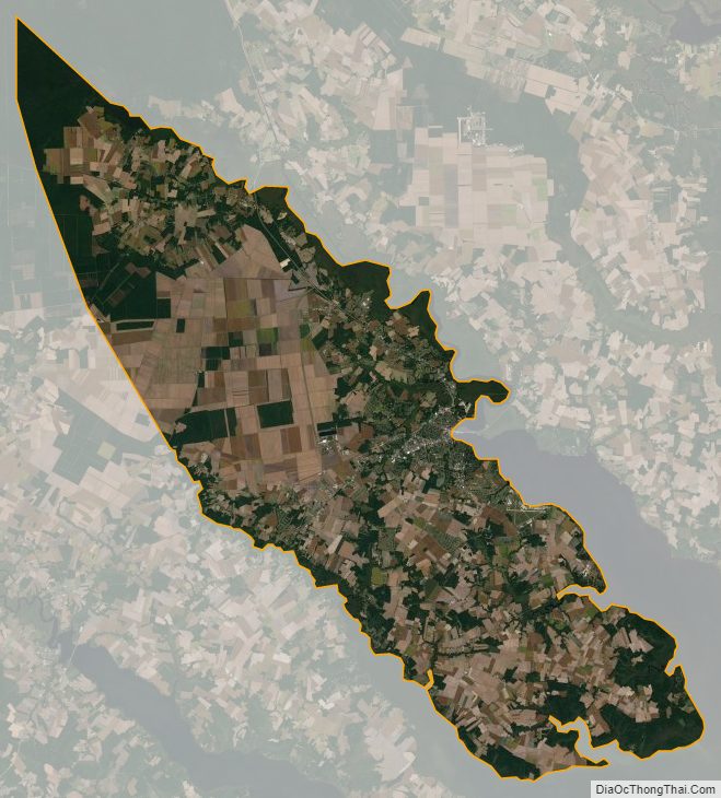
Pasquotank County Satellite Map
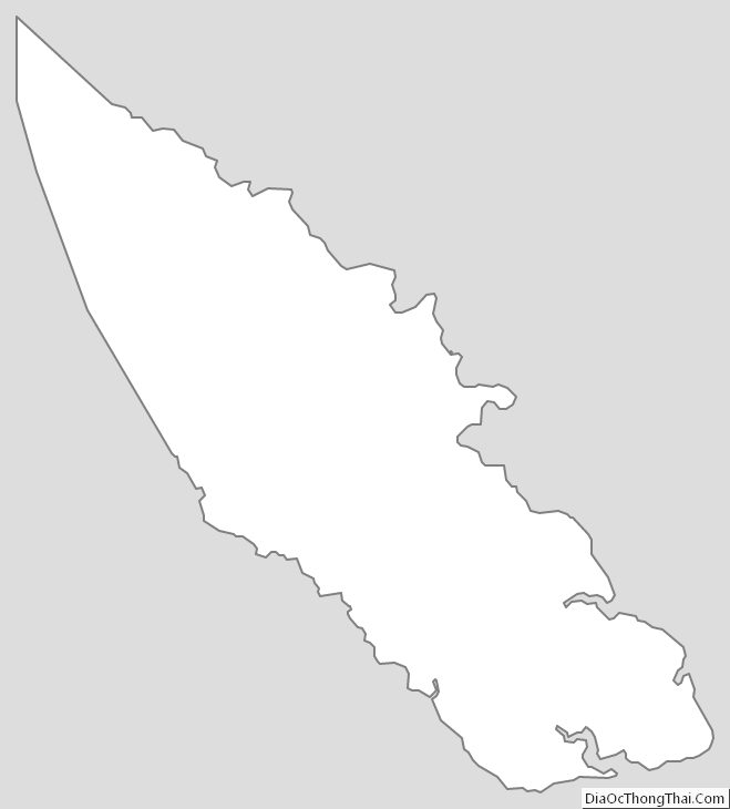
Pasquotank County Outline Map