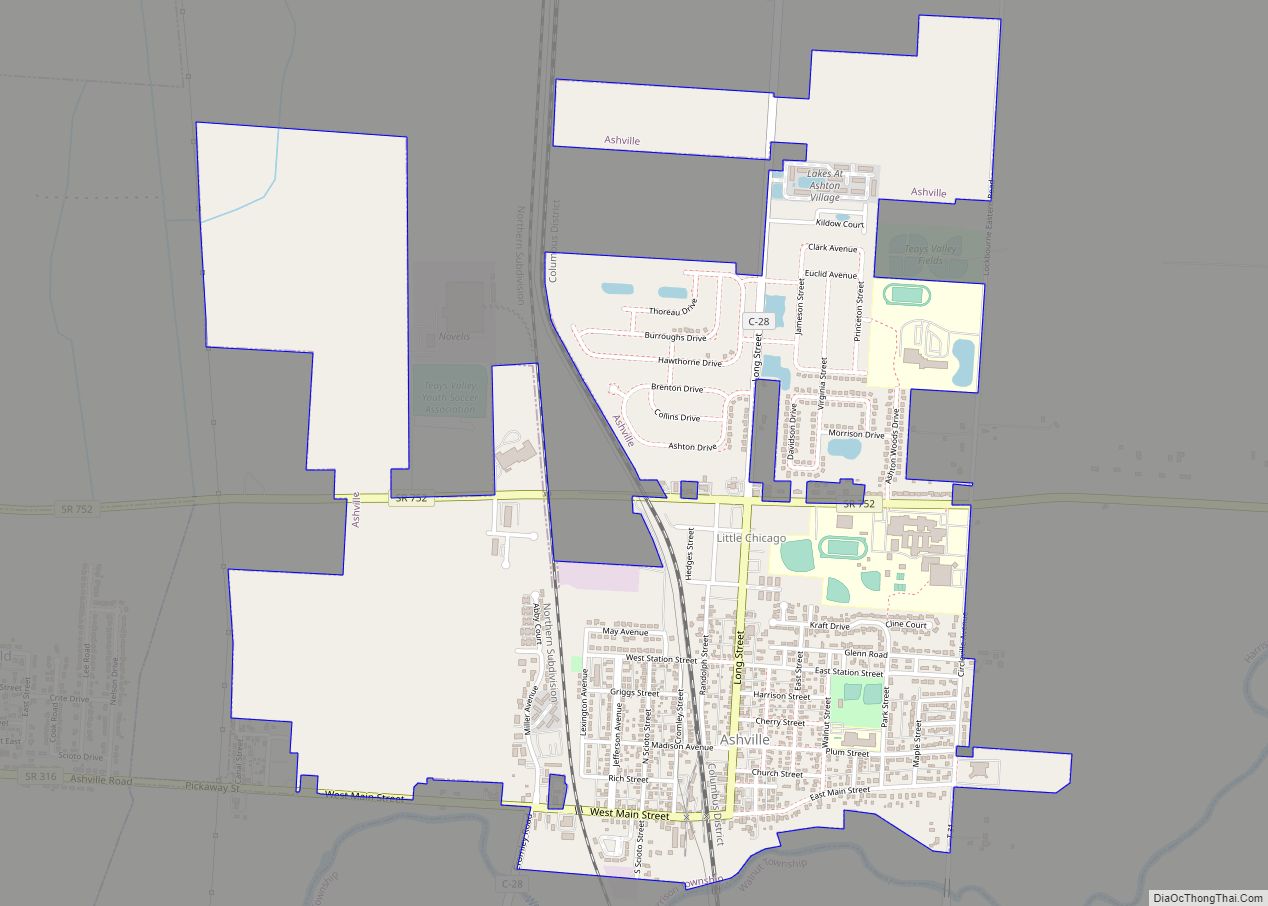
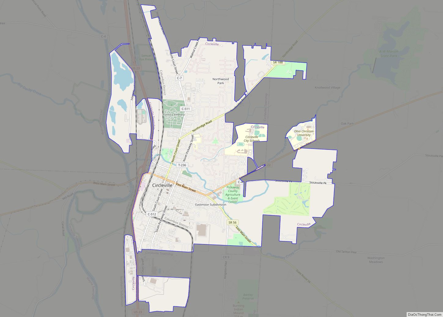
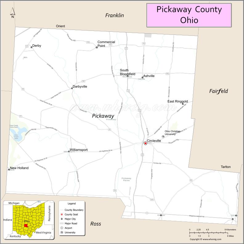
Pickaway County is a county in the U.S. state of Ohio. As of the 2020 census, the population was 58,539. Its county seat is Circleville. Its name derives from the Pekowi band of Shawnee Indians, who inhabited the area. (See List of Ohio county name etymologies.)
Pickaway County is part of the Columbus, OH Metropolitan Statistical Area.
| Name: | Pickaway County |
|---|---|
| FIPS code: | 39-129 |
| State: | Ohio |
| Founded: | 1 March 1810 |
| Named for: | Pekowi band |
| Seat: | Circleville |
| Largest city: | Circleville |
| Total Area: | 507 sq mi (1,310 km²) |
| Land Area: | 501.32 sq mi (1,298.4 km²) |
| Total Population: | 58,539 |
| Population Density: | 120/sq mi (50/km²) |
| Time zone: | UTC−5 (Eastern) |
| Summer Time Zone (DST): | UTC−4 (EDT) |
| Website: | www.pickaway.org |
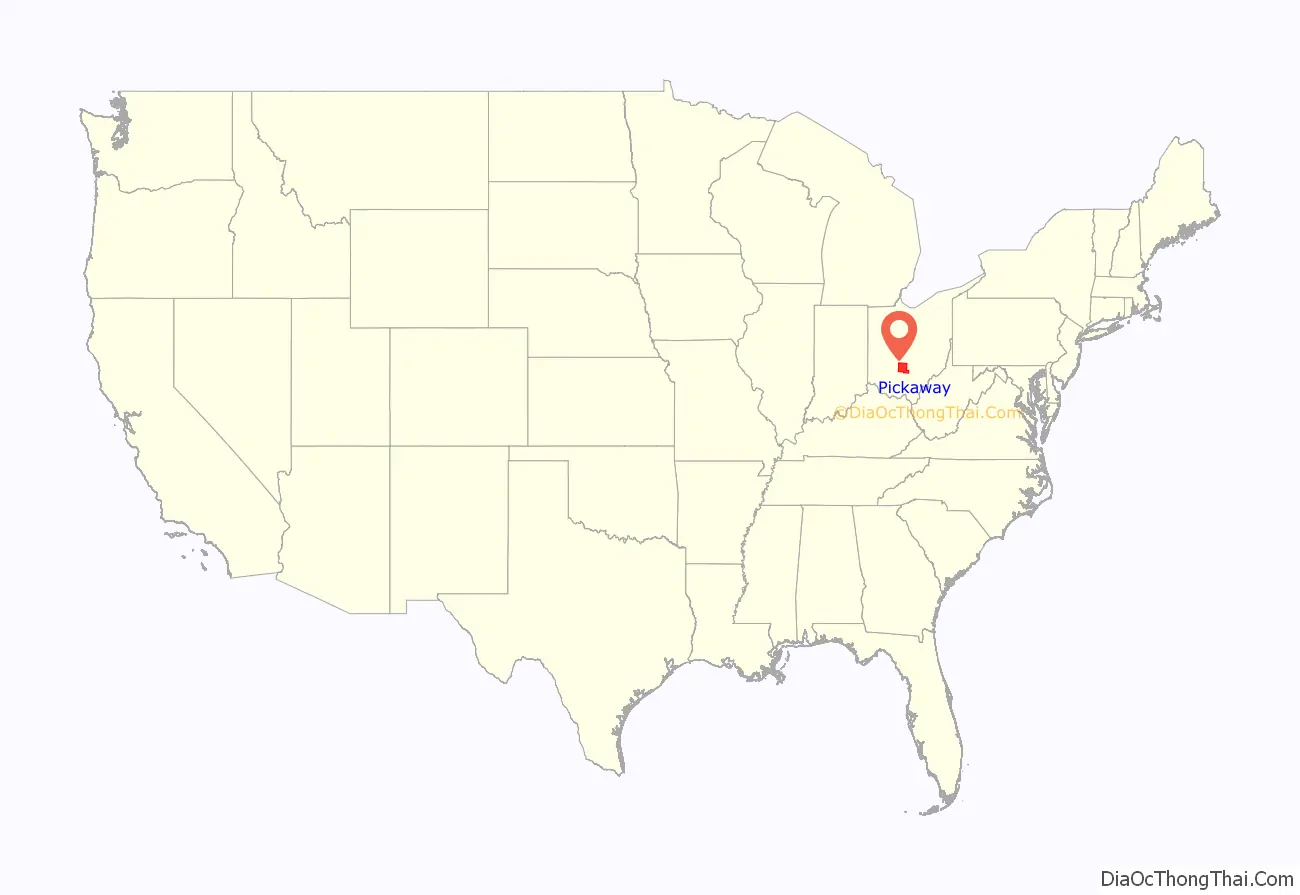
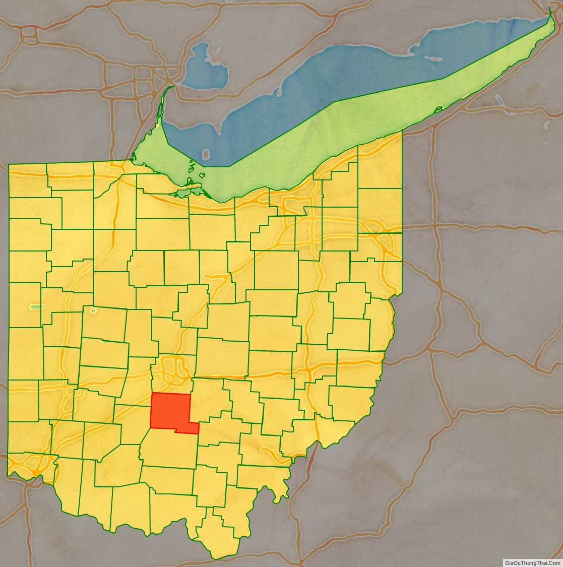
Pickaway County location map. Where is Pickaway County?
History
The future state of Ohio was part of the Northwest Territory, created in 1787. To begin providing local control of this area, several counties were designated, among them Washington (1788) and Wayne (1796) Counties. Portions of these counties were partitioned off to create Ross (1798), Fairfield (1800), and Franklin (1803) Counties. An act of the General Assembly of Ohio (12 January 1810) directed that portions of Fairfield, Franklin, and Ross counties were to be partitioned off to create Pickaway County effective 1 March 1810, with Circleville named as county seat later that year (see History of Circleville).
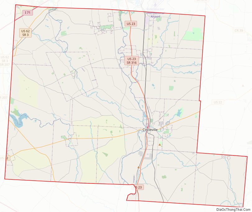
Pickaway County Road Map
Geography
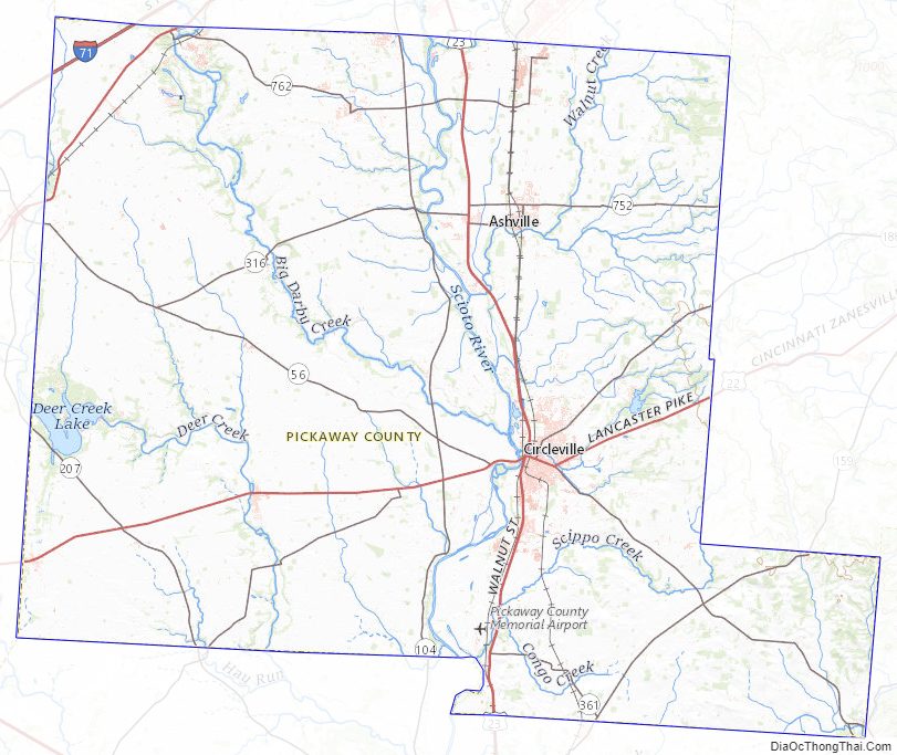
The Scioto River flows southward through the center of Pickaway County. Big Darby Creek drains the upper western part of the county, discharging into the Scioto at Circleville, and Deer Creek drains the lower western part of the county, flowing southward into Ross County. The county terrain consists of low rolling hills carved with drainages; all available areas (87%) are devoted to agriculture. The terrain’s highest point (1,090′ or 332 m ASL) lies on the county’s east border, 2.4 miles (3.9 km) east-northeast of Hargus Lake. The county has a total area of 506.55 square miles (1,312.0 km), of which 501.32 square miles (1,298.4 km) is land and 5.23 square miles (13.5 km) (1.0%) is water.
Adjacent counties
- Franklin County – north
- Fairfield County – east
- Hocking County – southeast
- Ross County – south
- Fayette County – southwest
- Madison County – northwest
Main highways
- I-71
- US 22
- US 23
- US 62
- SR 56
- SR 104
- SR 138
- SR 159
- SR 188
- SR 207
- SR 316
- SR 361
- SR 762
Protected areas
- A. W. Marion State Park
- Deer Creek State Park (part)
- Stage’s Pond State Nature Preserve
Lakes
- Deer Creek Lake (part)
- Hargus Lake
Pickaway County Topographic Map
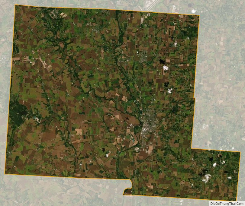
Pickaway County Satellite Map
Pickaway County Outline Map