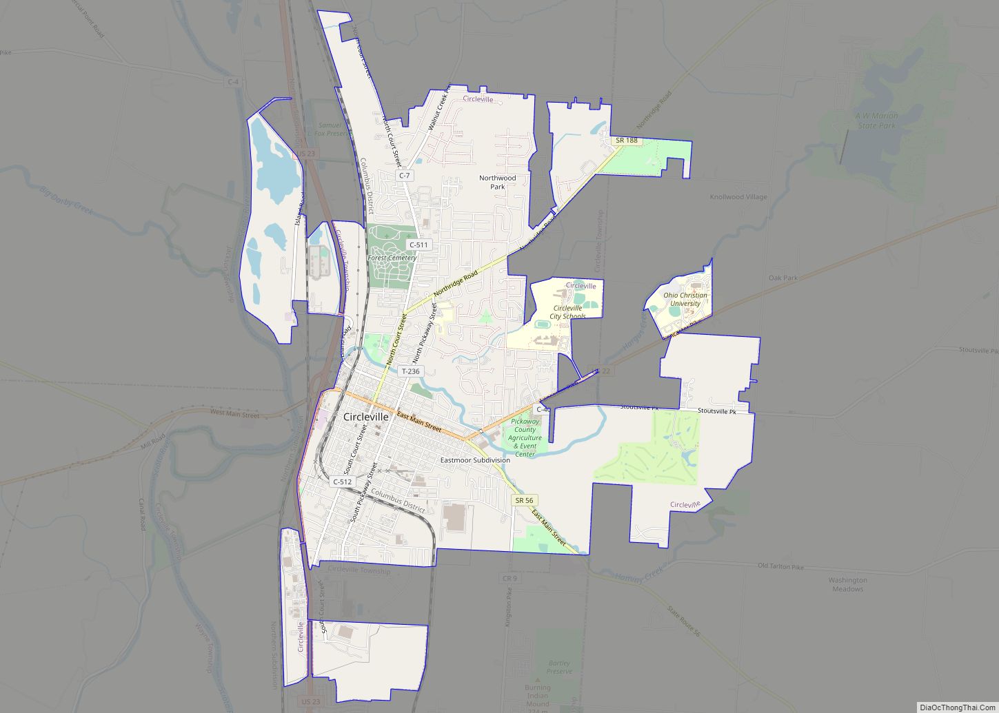
Circleville is a city in, and the county seat of, Pickaway County, Ohio, United States. The city is situated along the Scioto River, 25 miles (40 km) south of Columbus. The population was recorded to be 13,927 in the 2020 census. Circleville is best-known today as the host of the Circleville Pumpkin Show, an annual festival held since 1903.
Circleville is named after its original layout created in 1810, which was based upon the circular Hopewell tradition earthwork within which the city was built. This earthwork measured 1,100 ft (340 m) in diameter, and was constructed in the early centuries of the Common Era. The county courthouse was built in the center of the innermost circle.
In the late 1830s, for various reasons, residents requested authorisation from the state legislature to change Circleville’s layout to a standard grid format. This was accomplished by the mid-1850s.
All traces of the Hopewell earthwork were hence destroyed, although hundreds of other monuments of its kind remain in the Ohio Valley.
| Name: | Circleville city |
|---|---|
| LSAD Code: | 25 |
| LSAD Description: | city (suffix) |
| State: | Ohio |
| County: | Pickaway County |
| Elevation: | 696 ft (212 m) |
| Total Area: | 7.34 sq mi (19.00 km²) |
| Land Area: | 7.22 sq mi (18.69 km²) |
| Water Area: | 0.12 sq mi (0.31 km²) |
| Total Population: | 13,927 |
| Population Density: | 1,930.02/sq mi (745.20/km²) |
| ZIP code: | 43113 |
| Area code: | 740, 220 |
| FIPS code: | 3915070 |
| GNISfeature ID: | 1056803 |
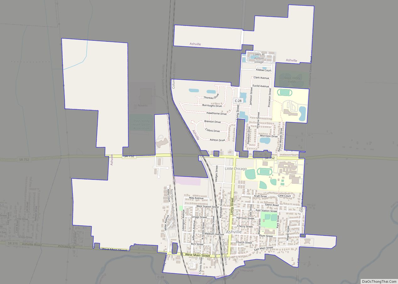
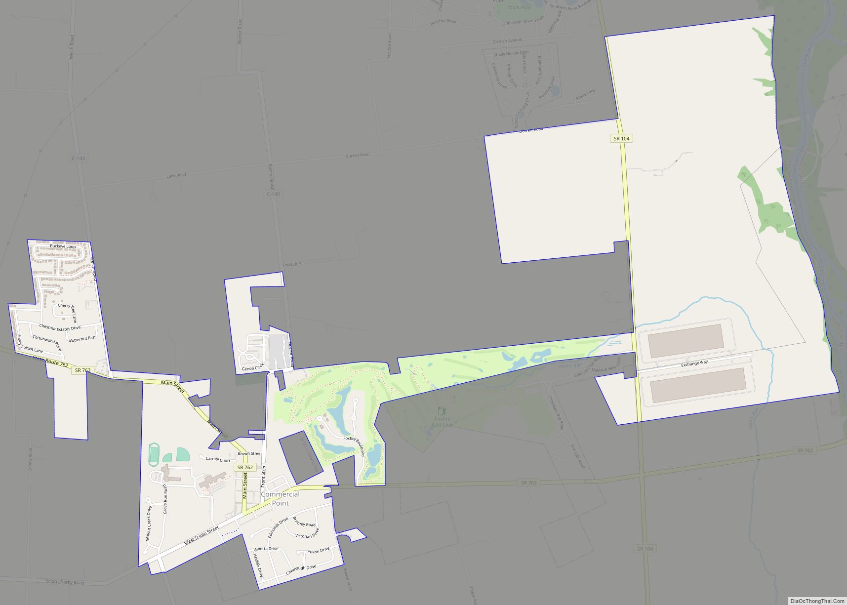
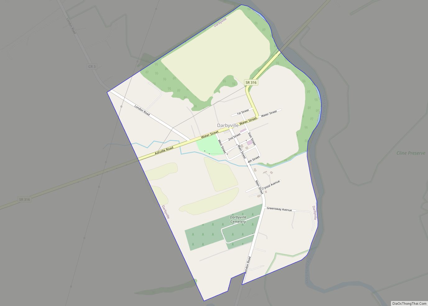
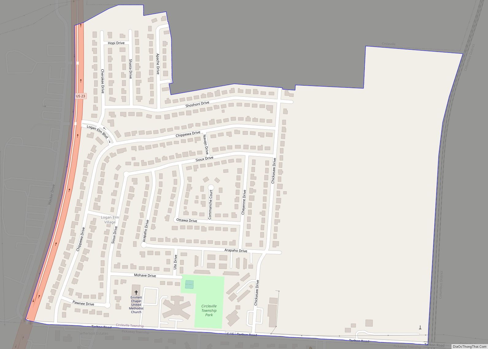
Online Interactive Map
Click on ![]() to view map in "full screen" mode.
to view map in "full screen" mode.
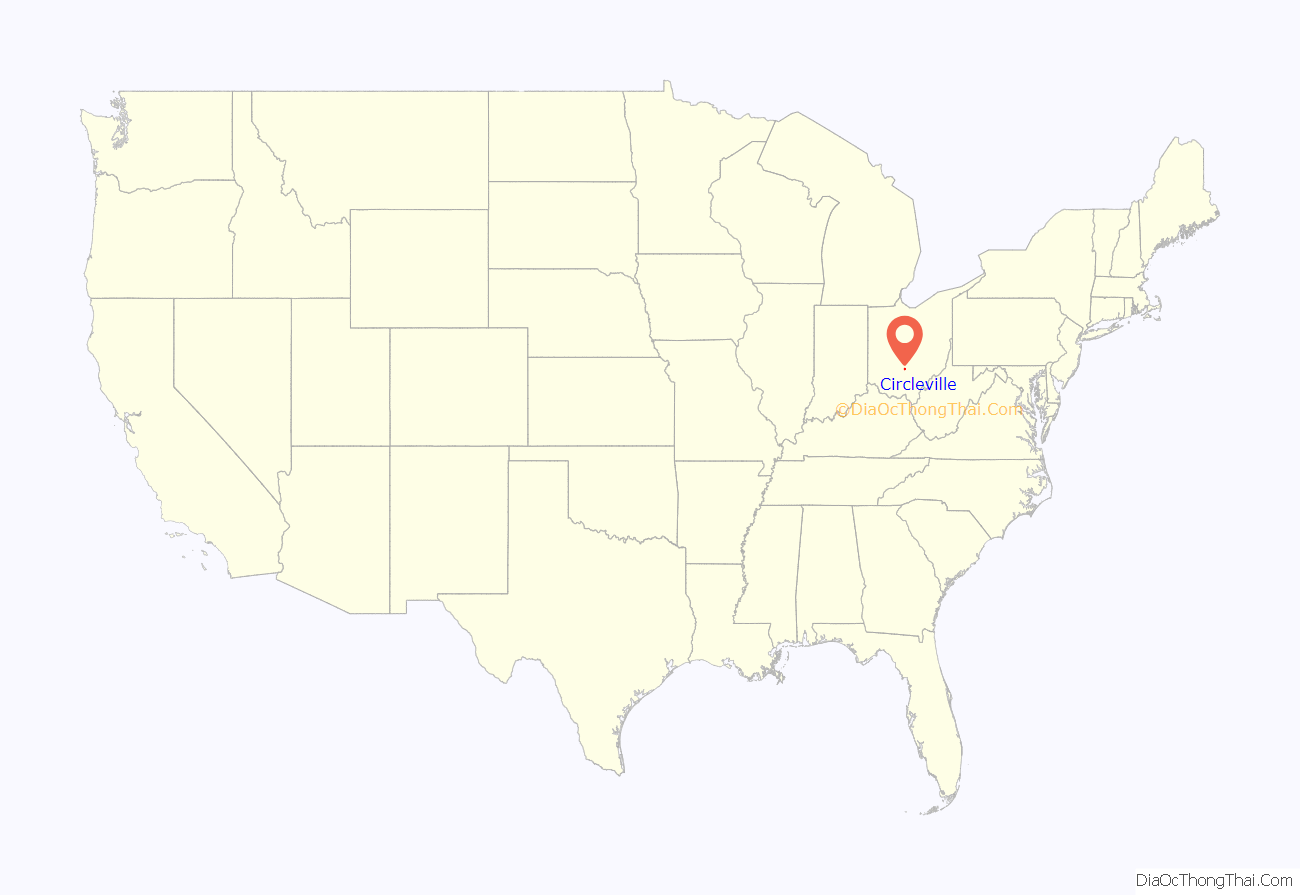
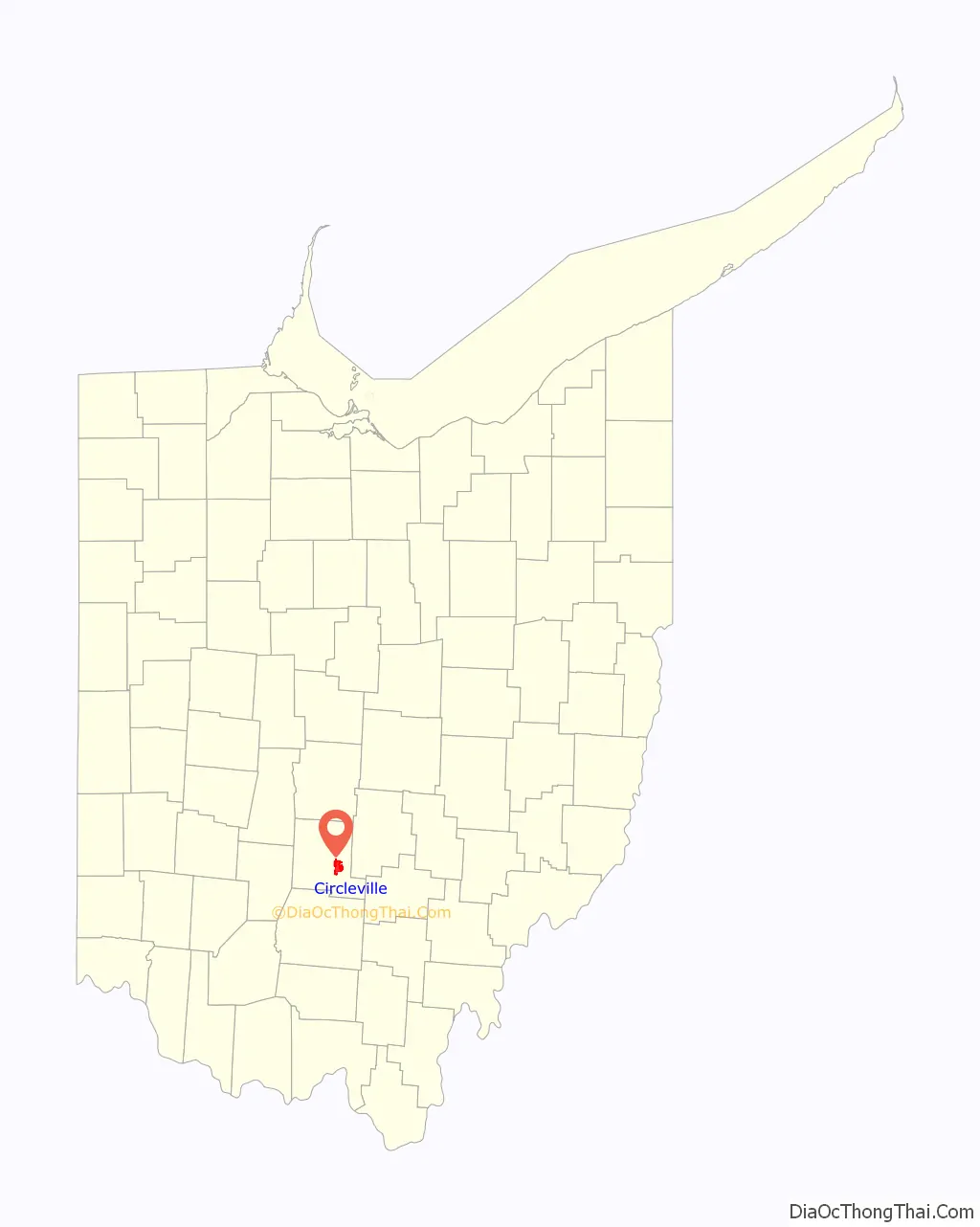
Circleville location map. Where is Circleville city?
History
Early history
By the mid-18th century, the Lenape (Delaware Indians) were pushed west from Pennsylvania by European settlers flowing into the colony. The Lenape were given permission by the Wyandot people to settle in the Ohio country. One of their settlements was Maguck, a small village built before 1750 on the banks of the Scioto River. Modern Circleville was built to the north of this site.
Frontier explorer Christopher Gist was the first recorded European explorer of the Circleville area. On January 20, 1751, Gist visited Maguck, which had a small population of about 10 families. He wrote in his journal that he had stayed in the town for four days. Between the time of the establishment of the United States and of the city’s settlement, the land was owned by the US federal government (As opposed to other land in the county, which was part of the Virginia Military District).
Circleville was founded by European-American settlers during 1810, as people relocated westward after the American Revolutionary War. One such settler was George Hitler Sr., who migrated to Circleville with his wife and 11 children in 1799. One of these children, Dr. Gay Hitler, used to be a dentist. Numerous features of the town are named after this family, these being two ‘Hitler’ roads, Hubert Hitler Road, Hitler Pond, Hitler-Park, and Hitler-Ludvig cemetery. There is no connection between the family and Adolf Hitler, whose surname was defined much later.
Establishment
On January 12, 1810, Pickaway County was established by order of the Ohio General Assembly. On February 19 of that year, the assembly appointed David Bradford, George Jackson, and John Pollock to choose the location for the county seat. The men ventured across the county and inspected numerous sites. The Hopewell fortifications were still intact at this time, and were selected as the site for Circleville’s construction. A history of the county published in 1880 suggests that the men thought the site location would spur the preservation and maintenance of the Hopewell mounds. The group was subsequently assigned appointed director Daniel Dreisbach to oversee them on July 25. Dreisbach was to purchase the land, determine lots, and distribute them. At the time, the land was owned by Jacob Zeiger, Zeiger Jr., and Samuel Watt; Dreisbach purchased 200 acres for a sum of $800 to $900.
The first sale of property in the new town was followed with a celebration: a barbecue, and the manufacture of a several-hundred-pound wheel of cheese, which was transported to the barbecue on a sled. A competition for the honor of constructing the first house also took place. By 1827, the town had a population of 725 people, 102 individual houses, a courthouse, jail, government office building, a private and public school, one church, nine stores, three pharmacies, three groceries, and a market house. All buildings were made with brick, except the jail, which was made out of stone.
The settlement was formally incorporated as the town of Circleville in 1814, and it was made a city on March 25, 1853.
Squaring the circle
Over time, residents grew dissatisfied with Circleville’s unusual layout. Some believed the design was kept only due to “childish sentimentalism”, while others complained that the lots were irregular and inconvenient, and that a circular plan wasted space that could otherwise be used to generate revenue. Additionally, the space around the central courthouse had become unpresentable. People from the countryside would hitch their horses around the courthouse, which would draw hogs and domestic animals to the area and surrounding city.
In March 1837, at the request of the town, the Ohio General Assembly authorized the requested alterations given the consent of all property owners in the circle. In March 1838, after no activity, the assembly authorized alterations to any quadrant given consent from property owners in the quarter. The “Circleville Squaring Company” was created to convert the town plan into a squared grid, as was the typical style of platted towns. The southeast corner was the first to be altered later in March, followed by the northwest quarter in September. The northeast corner was only squared in 1849, and the southwest was reformed in 1856. This process required intense construction work, such as destroying, moving, or constructing buildings, grading and repaving roads. Due to these changes, no traces of the original earthworks remain, beside a section of elevated ground at the corner of Pickaway and Franklin streets. A history of the county makes note that the citizens of Circleville regret the rare circular layout of the town was ever changed.
The only drawings of Circleville before its squaring were made by G. F. Wittich. He made sketches of the courthouse, the circle, and other buildings in 1836. Wittich used these drawings along with information from residents to create a map around 1860, of which he produced a watercolour rendition in 1870.
20th century
During April 1967, Bingman’s Drug Store and several neighboring buildings on West Main Street in downtown Circleville were destroyed. Lee Holbrook, the husband of a drug store employee, brought a wooden box containing bundled dynamite into the store, wherein it detonated during a struggle with the store’s staff. Holbrook and four employees died in the blast and ensuing fire, and nearly thirty others were injured.
Starting in 1976, residents began receiving mysterious letters from an unknown source identified only as “Writer”. The letters contained threats of violence and supposed blackmail, often as means of coercing the receiver to comply with the Writer’s will (e.g. Voting for the Writer’s preferred candidate in the county election). On January 27, 1983, the Writer hung up a sign visible from the bus route of Circleville School, containing obscenities regarding the 13-year-old daughter of bus driver Mary Gillispie. Upon observation of the sign, Gillispie discovered a booby-trapped box containing a loaded gun, which was rigged to fire upon attempted removal of the sign. Gillispie and her husband Ronald had previously received letters from the Writer accusing her of engaging in a marital affair with school superintendent Gordon Massie. Ronald had been killed under mysterious circumstances 6 years prior, in August 1977.
While the Gillispies’ cousin-in-law Paul Freshor was sentenced to 10 years in prison for the boobytrap incident in 1984, letters continued to circulate during his imprisonment. It was only after Freshor’s release in 1994 that the Writer ceased threatening the residents of Circleville.
As of March 2023, the identity of the Writer remains unknown.
On October 13, 1999, an F-3 tornado hit the city, set off by a squall line moving through the region. The tornado touched down on the north side of town, dealing considerable damage to a barber’s shop and a masonry building. A furniture store also received a hole in its roof, and it was reported that items from inside the store were sucked out. Damage to nearby buildings occurred as the tornado moved east across the north-central part of town. The tornado moved into a residential area in the Northwood Park neighborhood, destroying several homes and damaging trees and vehicles.
Circleville Road Map

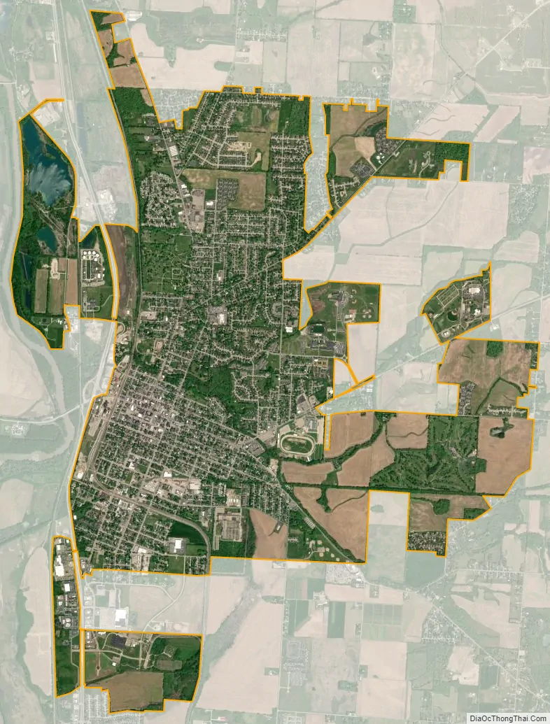
Circleville city Satellite Map
Geography
Circleville is situated on the eastern bank of the Scioto River, and is 25 miles south of Columbus and 22 miles north of Chillicothe.
According to the United States Census Bureau, the city has a total area of 6.76 square miles (17.51 km), of which, 6.64 square miles (17.20 km) is land and 0.12 square miles (0.31 km) is water.
Calamus Swamp is a 19-acre public reserve located 1.5 miles (2.4 km) from the town.
Climate
See also
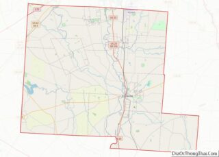
Map of Ohio State and its subdivision:- Adams
- Allen
- Ashland
- Ashtabula
- Athens
- Auglaize
- Belmont
- Brown
- Butler
- Carroll
- Champaign
- Clark
- Clermont
- Clinton
- Columbiana
- Coshocton
- Crawford
- Cuyahoga
- Darke
- Defiance
- Delaware
- Erie
- Fairfield
- Fayette
- Franklin
- Fulton
- Gallia
- Geauga
- Greene
- Guernsey
- Hamilton
- Hancock
- Hardin
- Harrison
- Henry
- Highland
- Hocking
- Holmes
- Huron
- Jackson
- Jefferson
- Knox
- Lake
- Lake Erie
- Lawrence
- Licking
- Logan
- Lorain
- Lucas
- Madison
- Mahoning
- Marion
- Medina
- Meigs
- Mercer
- Miami
- Monroe
- Montgomery
- Morgan
- Morrow
- Muskingum
- Noble
- Ottawa
- Paulding
- Perry
- Pickaway
- Pike
- Portage
- Preble
- Putnam
- Richland
- Ross
- Sandusky
- Scioto
- Seneca
- Shelby
- Stark
- Summit
- Trumbull
- Tuscarawas
- Union
- Van Wert
- Vinton
- Warren
- Washington
- Wayne
- Williams
- Wood
- Wyandot
- Alabama
- Alaska
- Arizona
- Arkansas
- California
- Colorado
- Connecticut
- Delaware
- District of Columbia
- Florida
- Georgia
- Hawaii
- Idaho
- Illinois
- Indiana
- Iowa
- Kansas
- Kentucky
- Louisiana
- Maine
- Maryland
- Massachusetts
- Michigan
- Minnesota
- Mississippi
- Missouri
- Montana
- Nebraska
- Nevada
- New Hampshire
- New Jersey
- New Mexico
- New York
- North Carolina
- North Dakota
- Ohio
- Oklahoma
- Oregon
- Pennsylvania
- Rhode Island
- South Carolina
- South Dakota
- Tennessee
- Texas
- Utah
- Vermont
- Virginia
- Washington
- West Virginia
- Wisconsin
- Wyoming