Pickens County is a county located in the north-central portion of the U.S. state of Georgia. As of the 2020 census, the population was 33,216. The county seat is Jasper. Pickens County is part of the Atlanta-Sandy Springs-Roswell, Georgia metropolitan statistical area.
| Name: | Pickens County |
|---|---|
| FIPS code: | 13-227 |
| State: | Georgia |
| Founded: | 1853 |
| Named for: | Andrew Pickens |
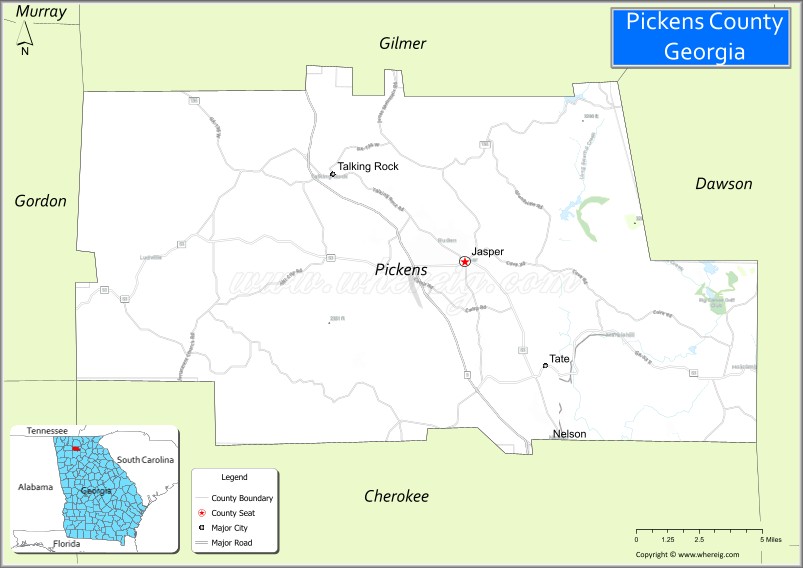
| Seat: | Jasper |
| Largest city: | Jasper |
| Total Area: | 233 sq mi (600 km²) |
| Land Area: | 232 sq mi (600 km²) |
| Total Population: | 33,216 |
| Population Density: | 143/sq mi (55/km²) |
| Time zone: | UTC−5 (Eastern) |
| Summer Time Zone (DST): | UTC−4 (EDT) |
| Website: | pickenscountyga.gov |
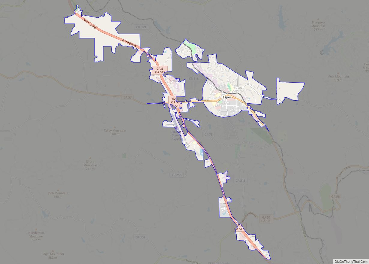
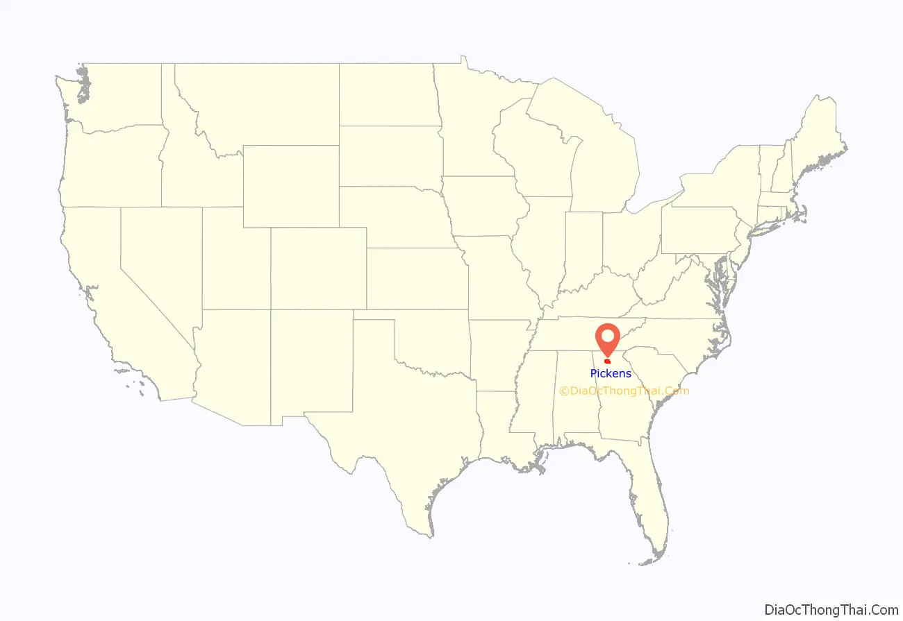
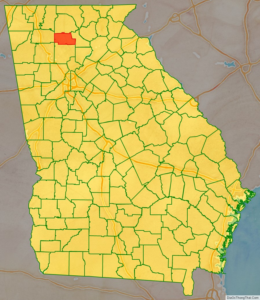
Pickens County location map. Where is Pickens County?
History
The Georgia General Assembly passed an act on December 5, 1853, to create Pickens County from portions of Cherokee and Gilmer Counties. Pickens received several more land additions from Cherokee (1869) and Gilmer Counties (1858 and 1863); however, several sections of Pickens County have also been transferred to other counties: Dawson County (1857), Gordon County (1860), and Cherokee County (1870).
Pickens County is named for American Revolutionary War General Andrew Pickens.
During the Civil War, Company D of the 1st Georgia Infantry Battalion of the Union Army was raised in Pickens County.
Most of Pickens County’s early industry revolved around marble. Georgia Marble Company is located in Marble Hill near Tate. The Tate elementary school is built out of marble. The marble was also used to make the statue of Abraham Lincoln in the Lincoln Memorial. Most of the marble is white, but it is one of the few places in the world where pink marble is found. The marble is also used for tombstones for the United States military.
Pickens County has seen very rapid growth with the building of Georgia State Route 515, locally referred to as the “four-lane”. Many new businesses and residents continue to move to Pickens County.
Pickens County is home the Georgia Marble Festival.
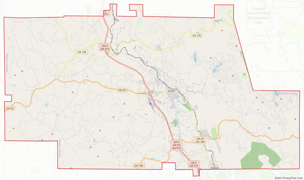
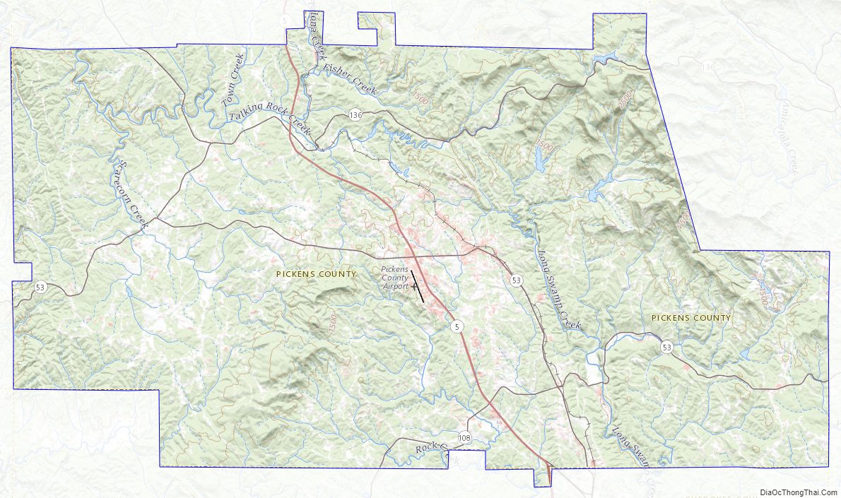
Pickens County Road Map
Geography
According to the U.S. Census Bureau, the county has a total area of 233 square miles (600 km), of which 232 square miles (600 km) are land and 0.7 square miles (1.8 km) (0.3%) is covered by water.
The county is located in the Blue Ridge Mountains. The highest point in Pickens County is the 3,288-ft summit of Mount Oglethorpe, the southernmost peak in the Blue Ridge Mountains, and for a number of years, the southern terminus of the Appalachian Trail. Other notable peaks in Pickens County include Sharp Top Mountain and Sharp Mountain. One of the best viewpoints of Sharp Top Mountain is from Grandview Lake Dam on Grandview Road.
The eastern half of Pickens County is located in the Etowah River subbasin of the ACT River Basin (Coosa-Tallapoosa River Basin). The western half of the county is located in the Coosawattee River sub-basin of the same larger ACT River Basin.
Adjacent counties
- Gilmer County – north
- Dawson County – east
- Cherokee County – south
- Bartow County – southwest
- Gordon County – west
Pickens County Topographic Map
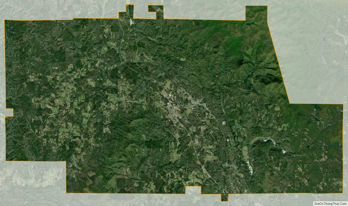
Pickens County Satellite Map
Pickens County Outline Map