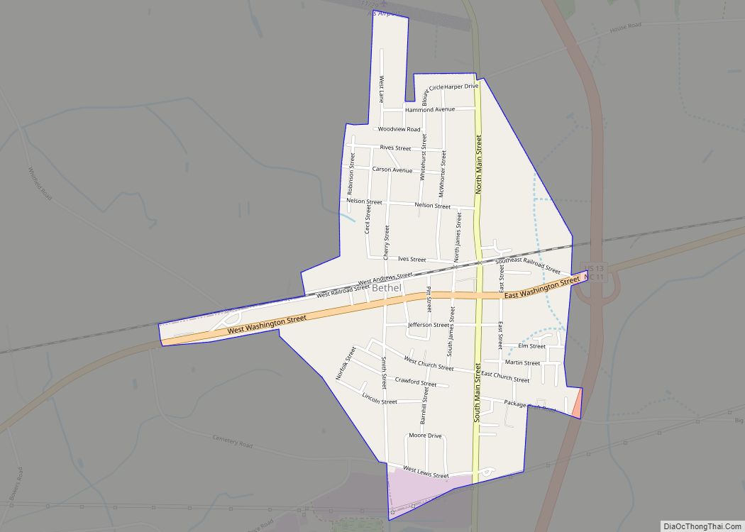
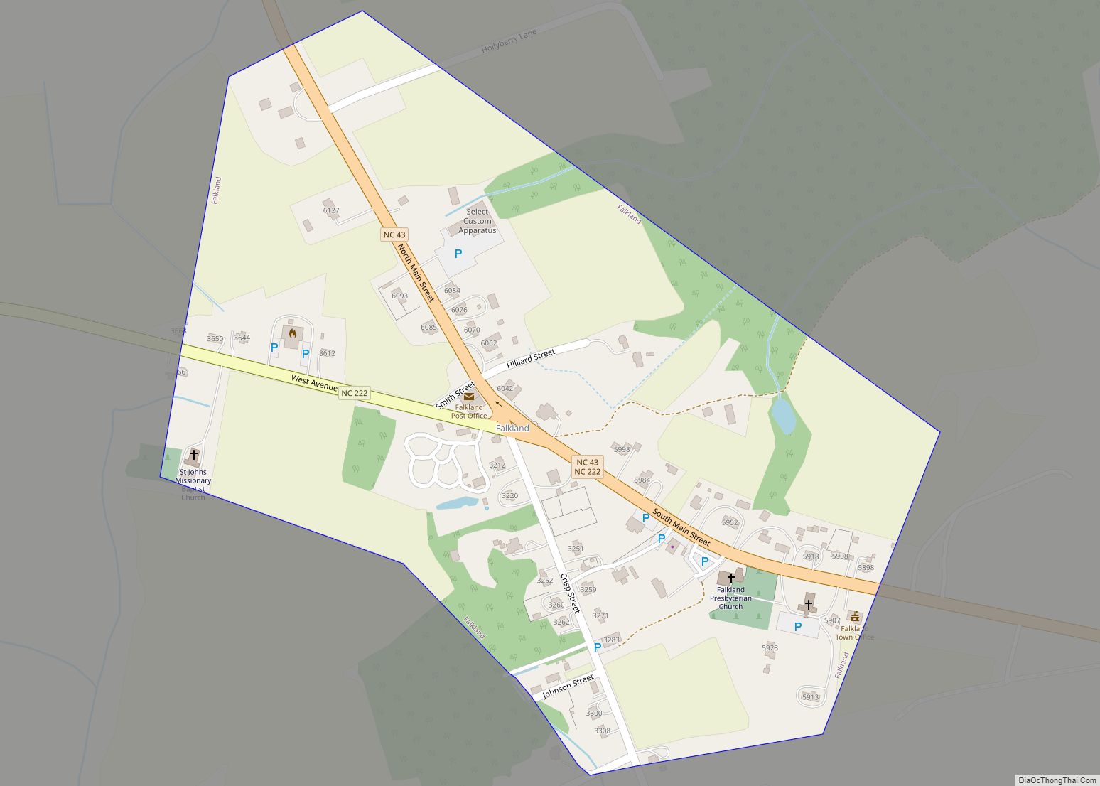
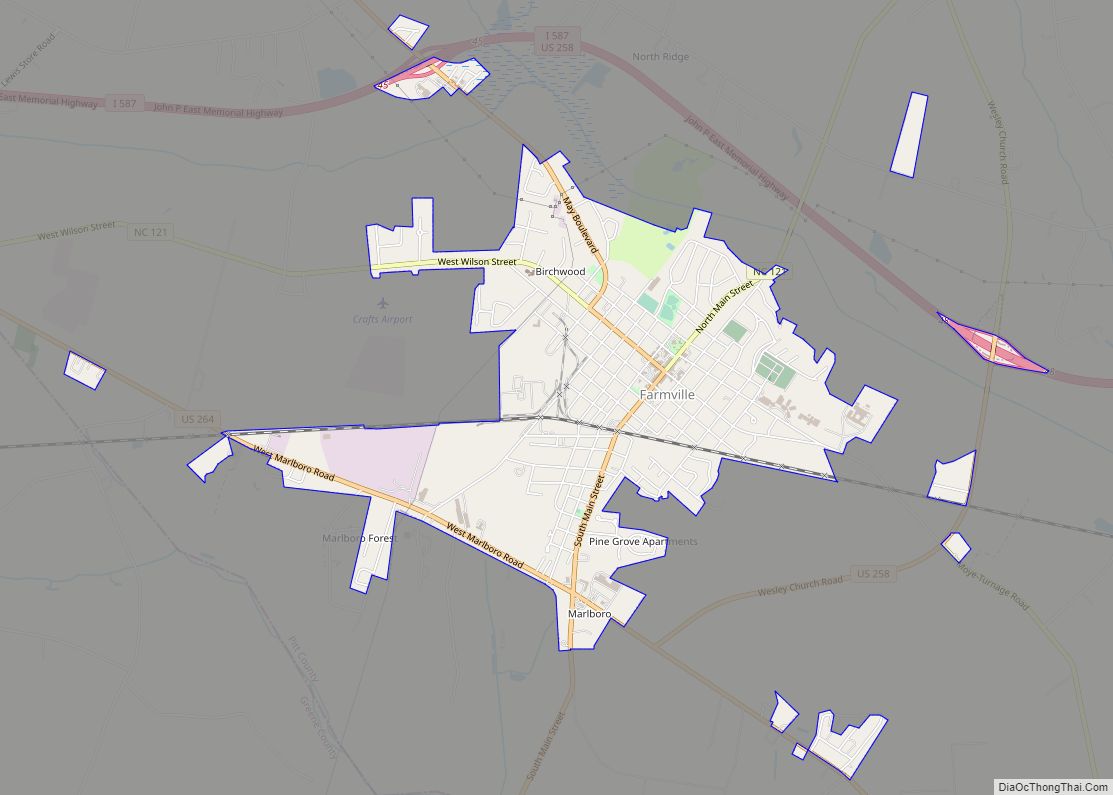
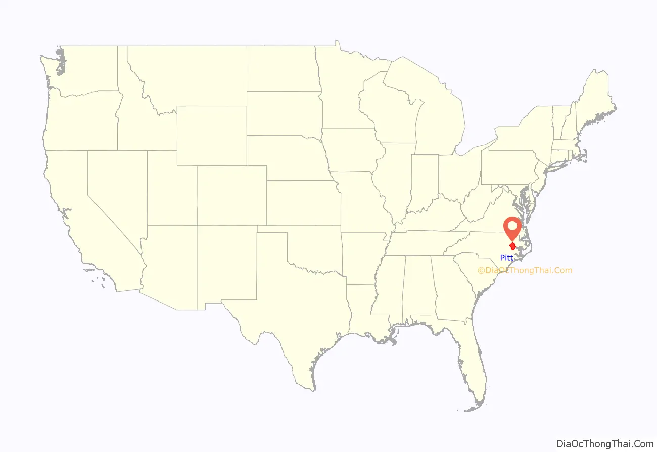
Pitt County is a county located in the inner banks (northeastern part) of the U.S. state of North Carolina. As of the 2020 census, the population was 170,243, making it the fourteenth-most populous county in North Carolina. Its county seat is Greenville.
Pitt County comprises the Greenville, NC Metropolitan Statistical Area. As one of the fastest-growing centers in the state, the county has seen a population boom since 1990.
| Name: | Pitt County |
|---|---|
| FIPS code: | 37-147 |
| State: | North Carolina |
| Founded: | 1760 |
| Named for: | William Pitt the Elder |
| Seat: | Greenville |
| Largest city: | Greenville |
| Total Area: | 655 sq mi (1,700 km²) |
| Land Area: | 652 sq mi (1,690 km²) |
| Total Population: | 172,169 |
| Population Density: | 264.1/sq mi (102.0/km²) |
| Time zone: | UTC−5 (Eastern) |
| Summer Time Zone (DST): | UTC−4 (EDT) |
| Website: | www.pittcountync.gov |
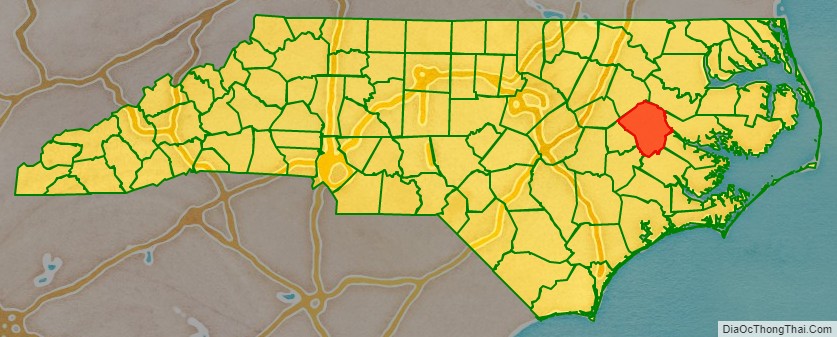
Pitt County location map. Where is Pitt County?
History
The county was formed in 1760 from Beaufort County, though the legislative act that created it did not become effective until January 1, 1761. It was named for William Pitt the Elder, who was then Secretary of State for the Southern Department and Leader of the House of Commons. William Pitt was an English statesman and orator, born in London, England. He studied at Oxford University and in 1731 joined the army. Pitt led the young “Patriot” Whigs and in 1756 became secretary of state, where he was a pro-freedom speaker in British Colonial government. He served as Prime Minister of Great Britain in 1766–68.
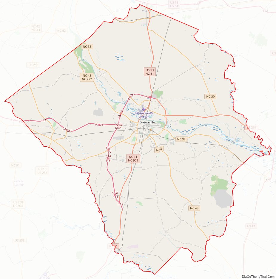
Pitt County Road Map
Geography
According to the U.S. Census Bureau, the total area of Pitt County is 655 square miles (1,700 km), of which (0.4%) is water.
State and local protected areas
- North Carolina Museum of Natural Science Contentnea Creek
- North Carolina Museum of Natural Science Greenvillle
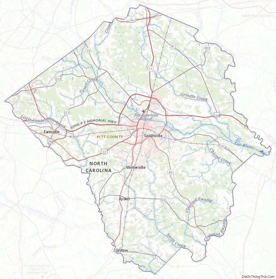
Major water bodies
- Contentnea Creek
- Creeping Swamp
- Fork Creek
- Middle River
- Neuse River
- Swift Creek
- Tar River
- Tranters Creek
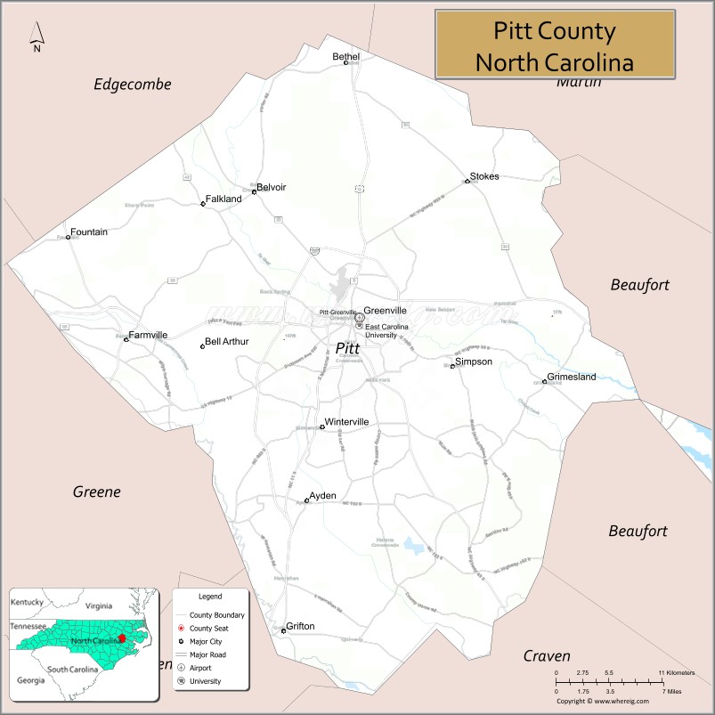
Adjacent counties
- Martin County – northeast
- Beaufort County – east
- Craven County – south-southeast
- Lenoir County – south-southwest
- Greene County – southwest
- Wilson County – west
- Edgecombe County – northwest
Major highways
- I-587
- US 13
- US 64 Alt.
- US 258
- US 264
- US 264 Alt.
- NC 11
- NC 11 Bus.
- NC 11 Byp.
- NC 30
- NC 33
- NC 43
- NC 102
- NC 118
- NC 121
- NC 222
- NC 903
Major infrastructure
- G.K. Butterfield Transportation Center
- Pitt-Greenville Airport
Pitt County Topographic Map
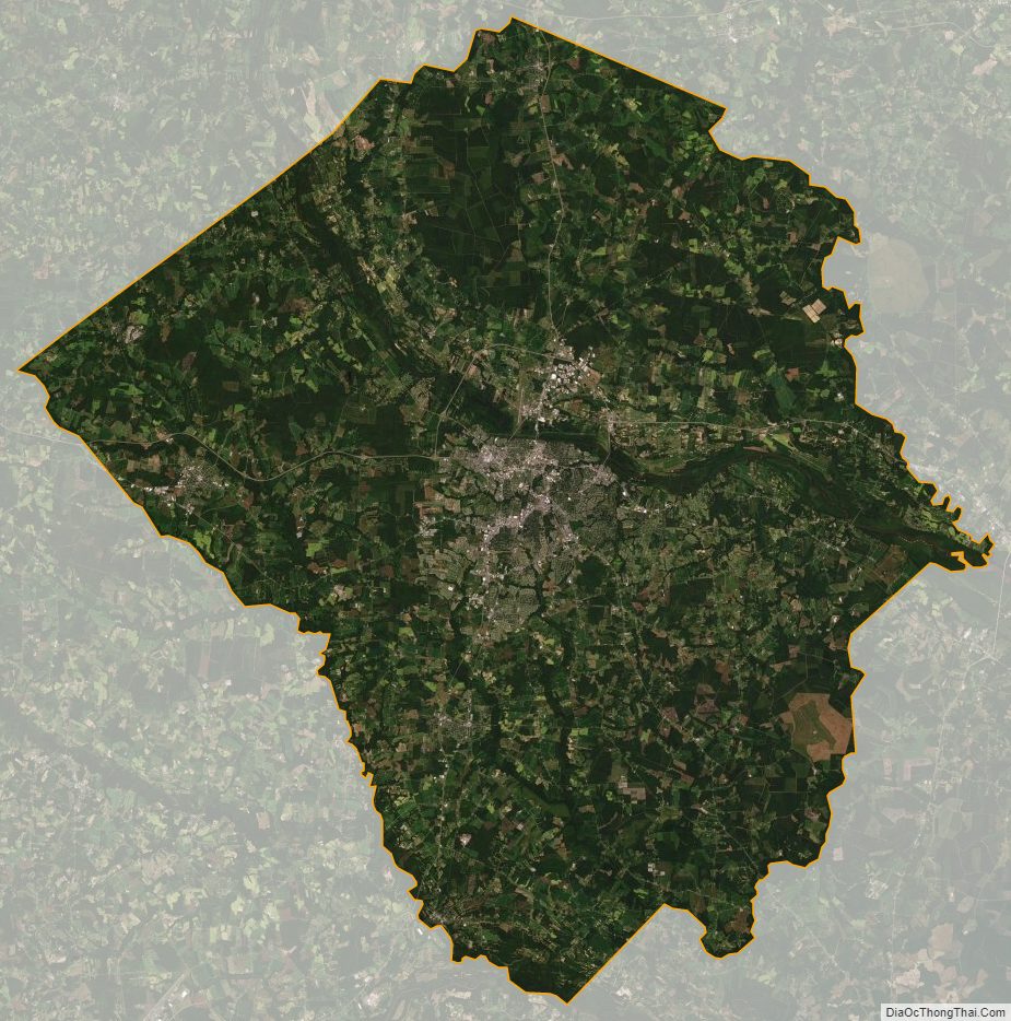
Pitt County Satellite Map
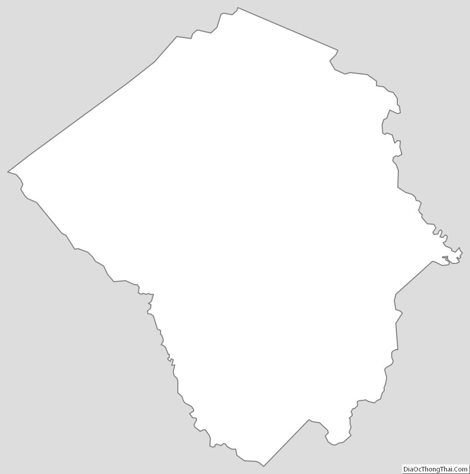
Pitt County Outline Map