Powder River County is a county in the U.S. state of Montana. As of the 2020 census, the population was 1,694. Its county seat is Broadus.
| Name: | Powder River County |
|---|---|
| FIPS code: | 30-075 |
| State: | Montana |
| Founded: | March 17, 1919 |
| Named for: | Powder River |
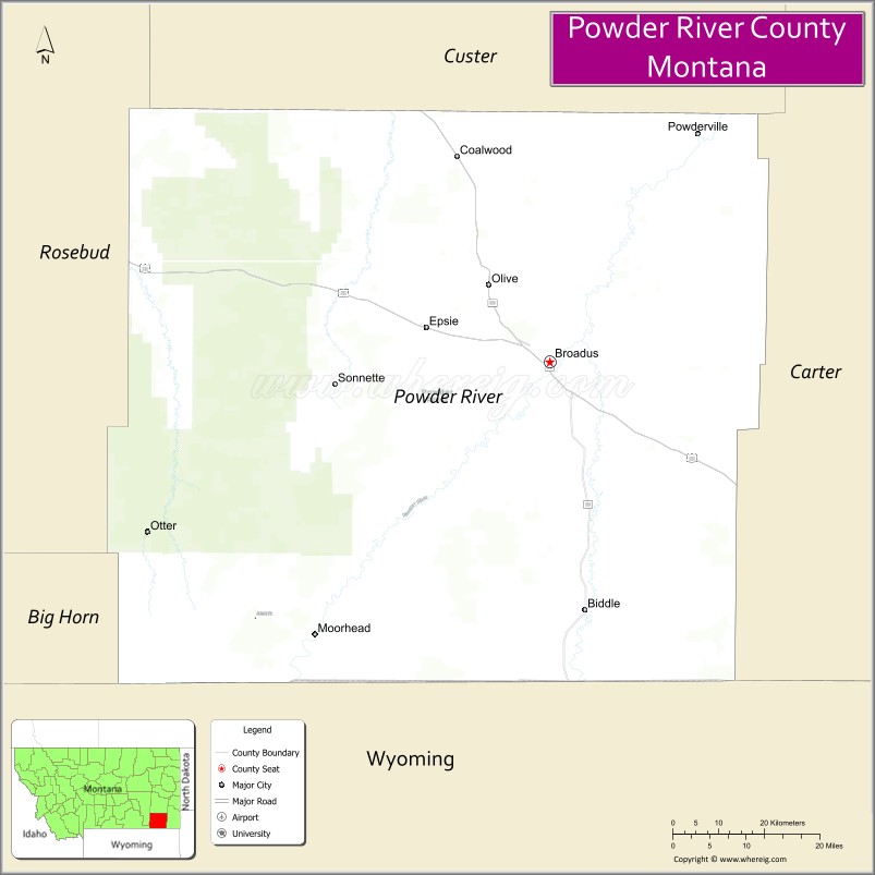
| Seat: | Broadus |
| Largest town: | Broadus |
| Total Area: | 3,298 sq mi (8,540 km²) |
| Land Area: | 3,297 sq mi (8,540 km²) |
| Total Population: | 1,694 |
| Population Density: | 0.51/sq mi (0.20/km²) |
| Time zone: | UTC−7 (Mountain) |
| Summer Time Zone (DST): | UTC−6 (MDT) |
| Website: | www.prco.mt.gov |
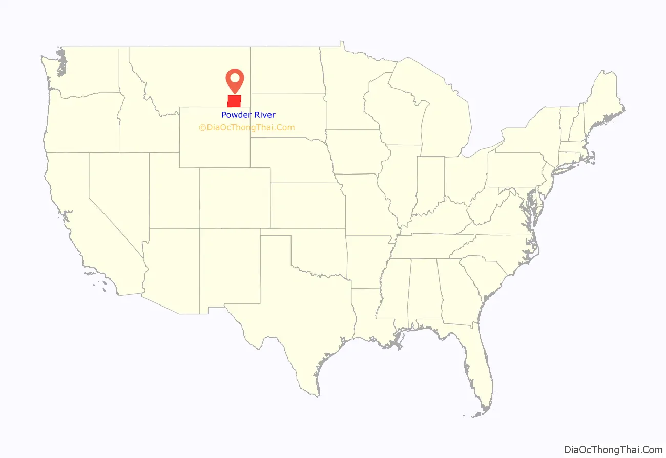
Powder River County location map. Where is Powder River County?
History
Powder River County’s area was probably first entered by Europeans when French trappers worked its streams in the early 1800s. In 1865 the federal government sent soldiers (Powder River Expedition) to the Powder River country to combat Native Americans from the Cheyenne, Lakota Sioux, and Arapaho tribes. September 1865 saw several skirmishes (Powder River Battles) near present-day Broadus. On March 17, 1876, the Battle of Powder River occurred in the south-central part of the county, about 34 miles (55 km) southwest of Broadus.
Powderville was the area’s first established settlement; it began operating on November 1, 1878, as the Powder River Telegraph Station on a line connecting Fort Keogh to Deadwood, South Dakota. On April 5, 1879, the Mizpah Creek Incidents began near the Powderville telegraph station.
Custer County was organized in early 1877, consisting of most of SE Montana Territory. In February 1900, the Broadus Post Office opened. In October 1918 the first edition of the area’s first newspaper appeared. On March 17, 1919, Powder River County was formed from southern Custer County. In a 1920 election, Broadus was chosen as the county seat.
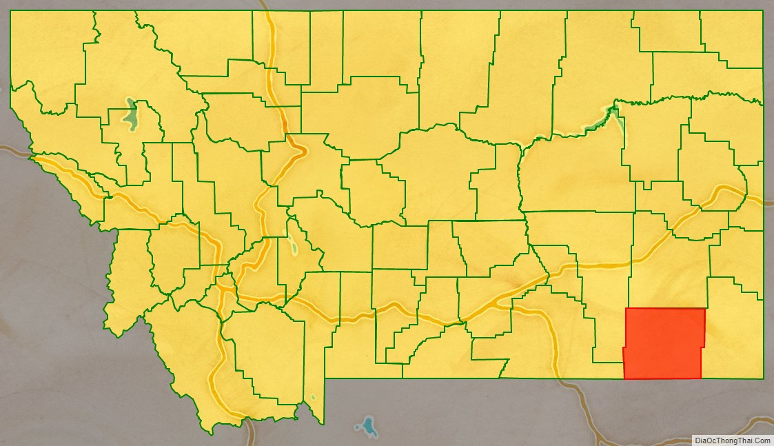
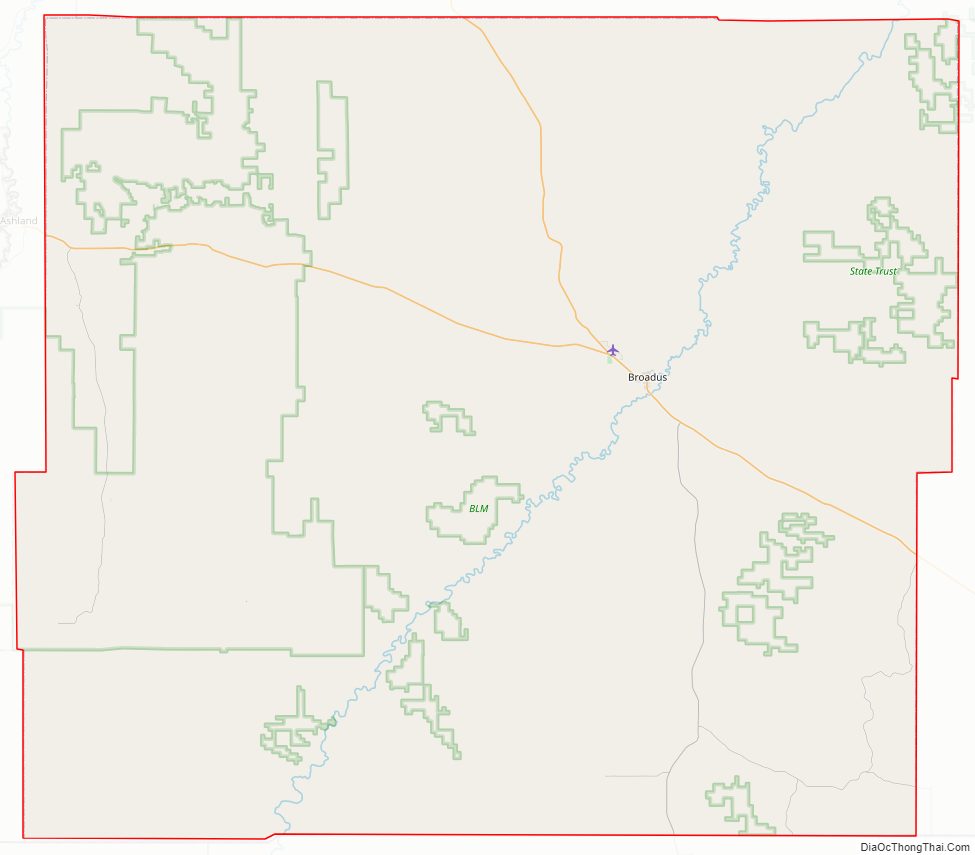
Powder River County Road Map
Geography
According to the United States Census Bureau, the county has a total area of 3,298 square miles (8,540 km), of which 3,297 square miles (8,540 km) is land and 0.6 square miles (1.6 km) (0.02%) is water.
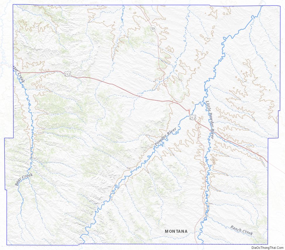
Major highways
- U.S. Highway 212
- Montana Highway 59
Adjacent counties
- Custer County – north
- Carter County – east
- Crook County, Wyoming – southeast
- Campbell County, Wyoming – south
- Sheridan County, Wyoming – southwest
- Big Horn County – west
- Rosebud County – northwest
National protected area
- Custer National Forest (part)
Powder River County Topographic Map
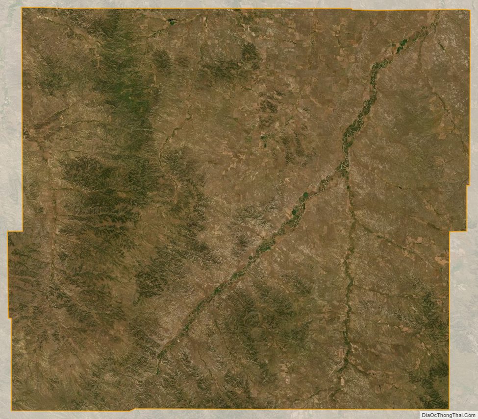
Powder River County Satellite Map
Powder River County Outline Map