Pulaski County is a county located in the U.S. state of Illinois. According to the 2020 census, it had a population of 5,193. Its county seat is Mound City. Its largest city is Mounds. It is located along the Ohio River in the southwestern portion of the state, known locally as “Little Egypt”.
| Name: | Pulaski County |
|---|---|
| FIPS code: | 17-153 |
| State: | Illinois |
| Founded: | 1843 |
| Named for: | Casimir Pulaski |
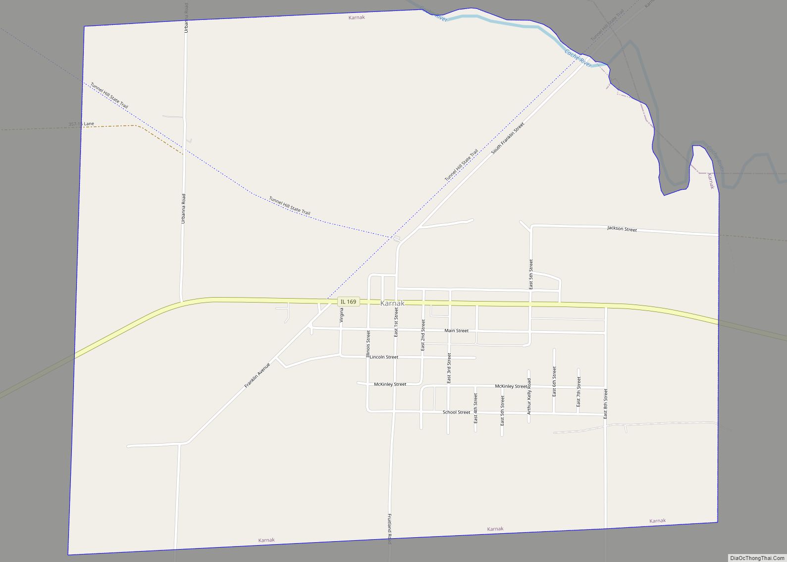
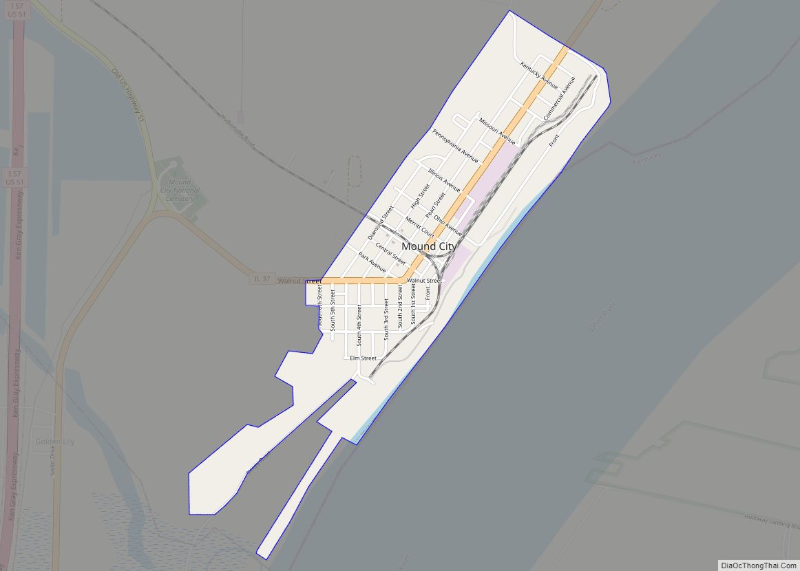
| Seat: | Mound City |
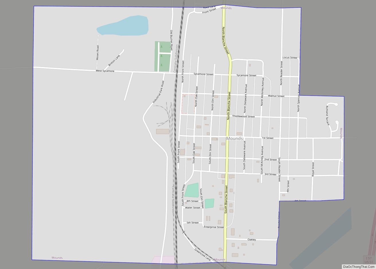
| Largest city: | Mounds |
| Total Area: | 203 sq mi (530 km²) |
| Land Area: | 199 sq mi (520 km²) |
| Total Population: | 5,193 |
| Population Density: | 26/sq mi (9.9/km²) |
| Time zone: | UTC−6 (Central) |
| Summer Time Zone (DST): | UTC−5 (CDT) |
| Website: | www.pulaskicountyil.net |
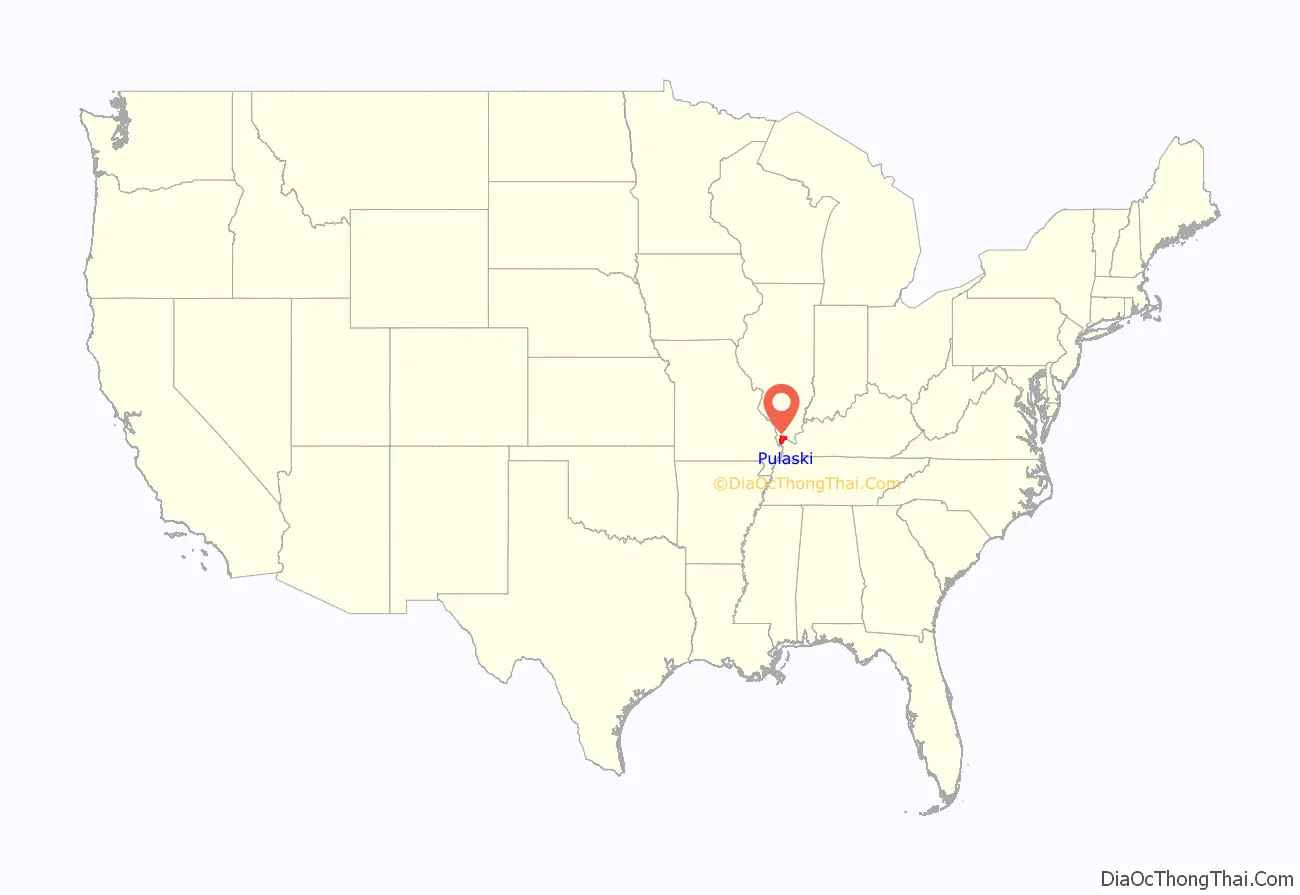
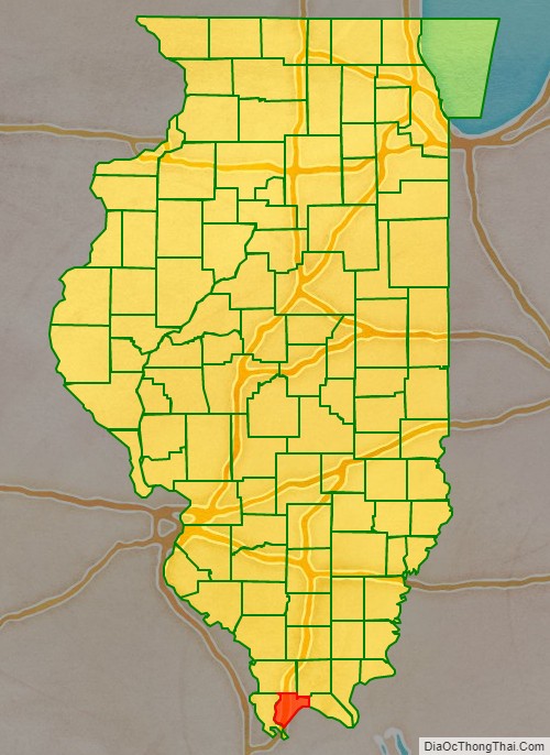
Pulaski County location map. Where is Pulaski County?
History
Pulaski County was formed on March 3, 1843, out of parts of Alexander and Johnson counties. It was named in honor of Casimir Pułaski who was killed at the Siege of Savannah in the Revolutionary War.
Pulaski County at the time of its creation in 1843
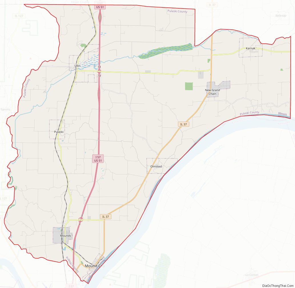
Pulaski County Road Map
Geography
According to the U.S. Census Bureau, the county has a total area of 203 square miles (530 km), of which 199 square miles (520 km) is land and 4.0 square miles (10 km) (2.0%) is water. It is the third-smallest county in Illinois by area.
Climate and weather
In recent years, average temperatures in the county seat of Mound City have ranged from a low of 26 °F (−3 °C) in January to a high of 90 °F (32 °C) in July, although a record low of −12 °F (−24 °C) was recorded in January 1985 and a record high of 104 °F (40 °C) was recorded in June 1954. Average monthly precipitation ranged from 3.04 inches (77 mm) in September to 4.76 inches (121 mm) in May.
Major highways
- Interstate 57, which has been listed as a speed trap.
- U.S. Highway 51
- Illinois Route 37
- Illinois Route 169
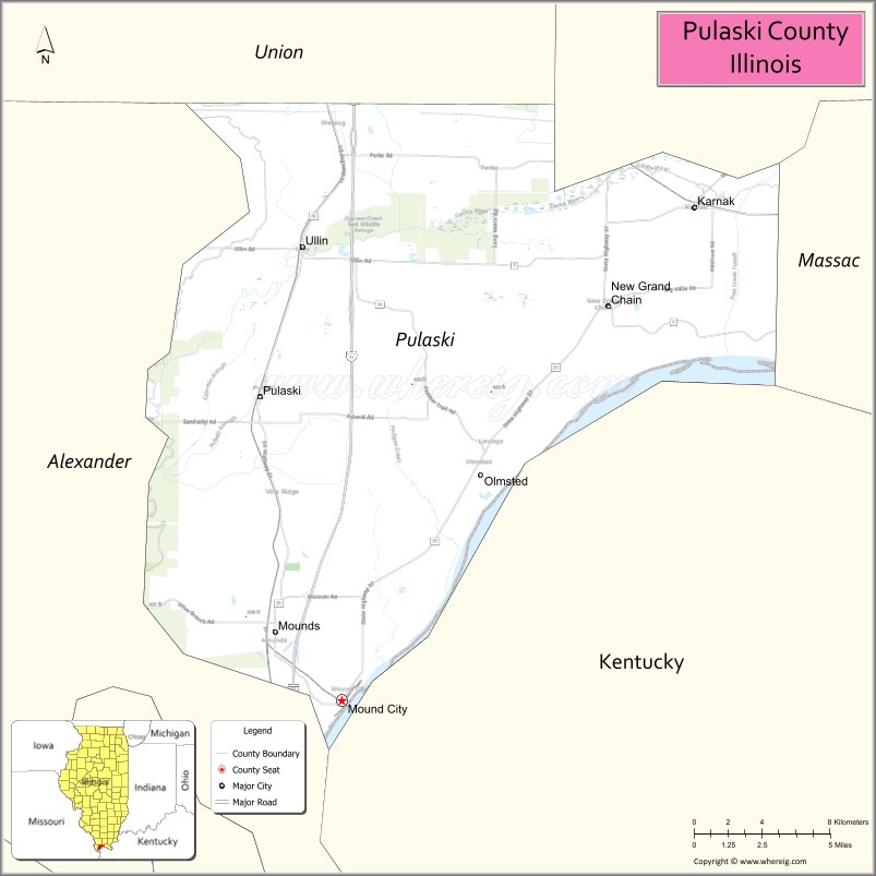
Adjacent counties
- Union County (north)
- Johnson County (northeast)
- Massac County (east)
- Ballard County, Kentucky (southeast)
- Alexander County (west)
National protected area
- Cypress Creek National Wildlife Refuge (part)
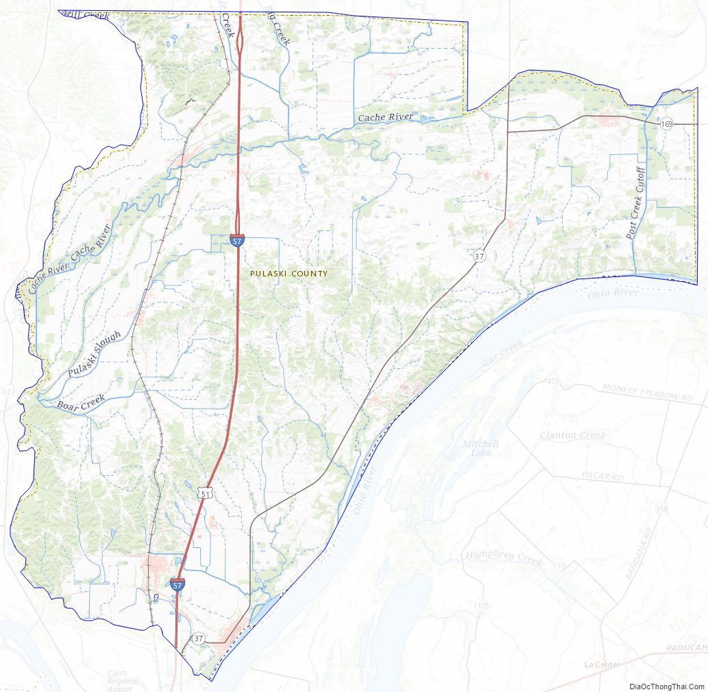
Pulaski County Topographic Map
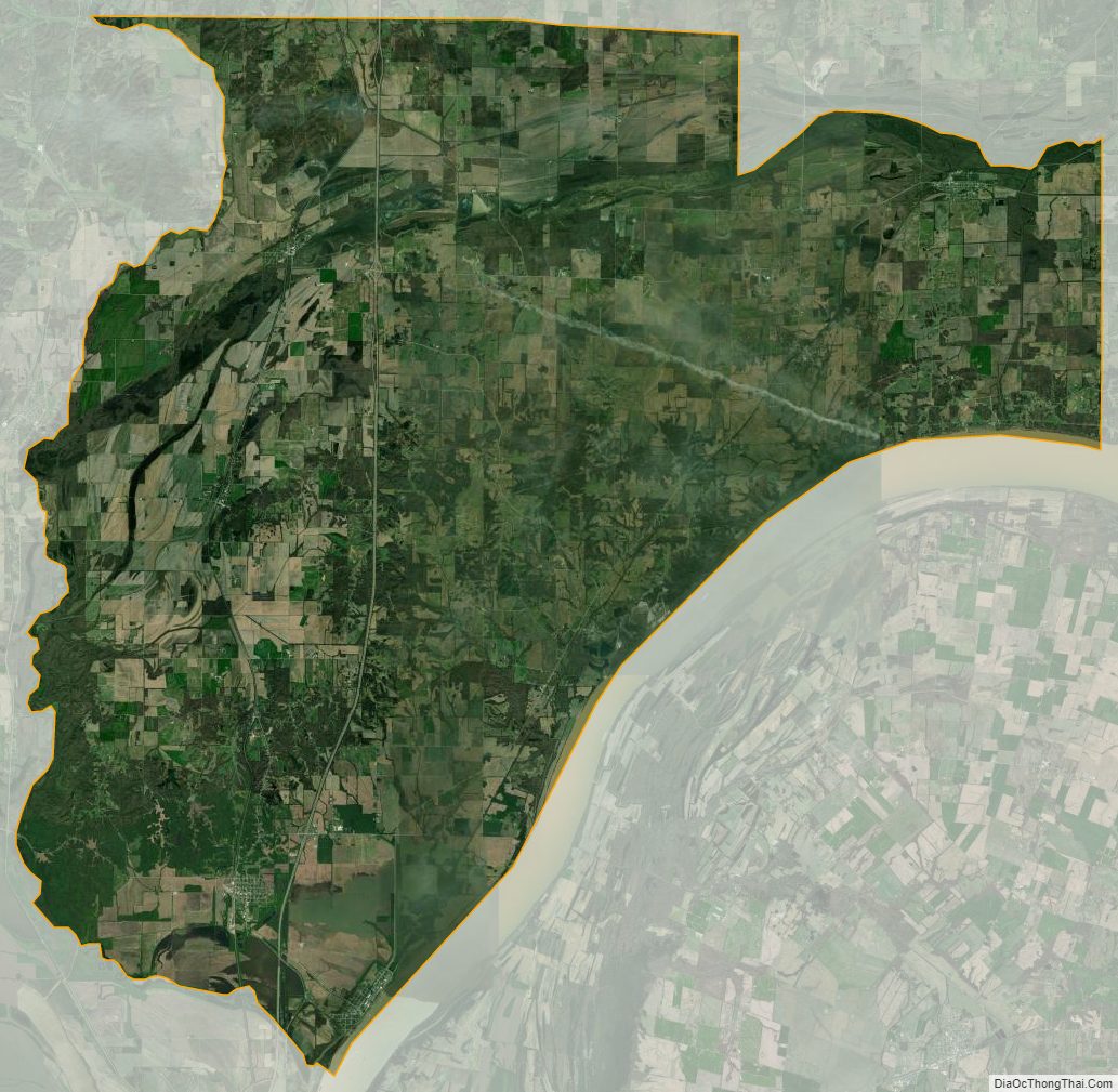
Pulaski County Satellite Map
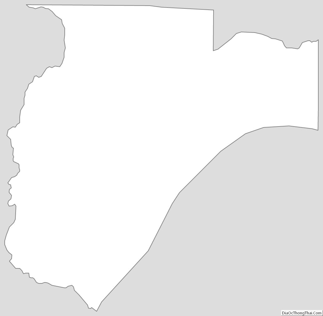
Pulaski County Outline Map