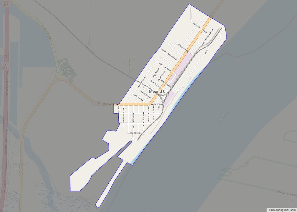
Mound City is a city and the county seat of Pulaski County, Illinois, United States. It is located along the Ohio River just north of its confluence with the Mississippi River. As of the 2010 census, the city population was 588.
| Name: | Mound City city |
|---|---|
| LSAD Code: | 25 |
| LSAD Description: | city (suffix) |
| State: | Illinois |
| County: | Pulaski County |
| Elevation: | 322 ft (98 m) |
| Total Area: | 0.74 sq mi (1.91 km²) |
| Land Area: | 0.68 sq mi (1.75 km²) |
| Water Area: | 0.06 sq mi (0.16 km²) |
| Total Population: | 526 |
| Population Density: | 779.26/sq mi (300.75/km²) |
| Area code: | 618 |
| FIPS code: | 1750751 |
| GNISfeature ID: | 2395112 |
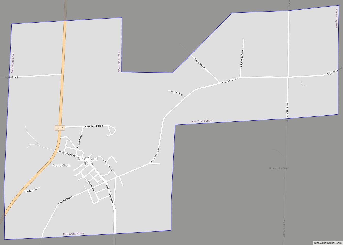
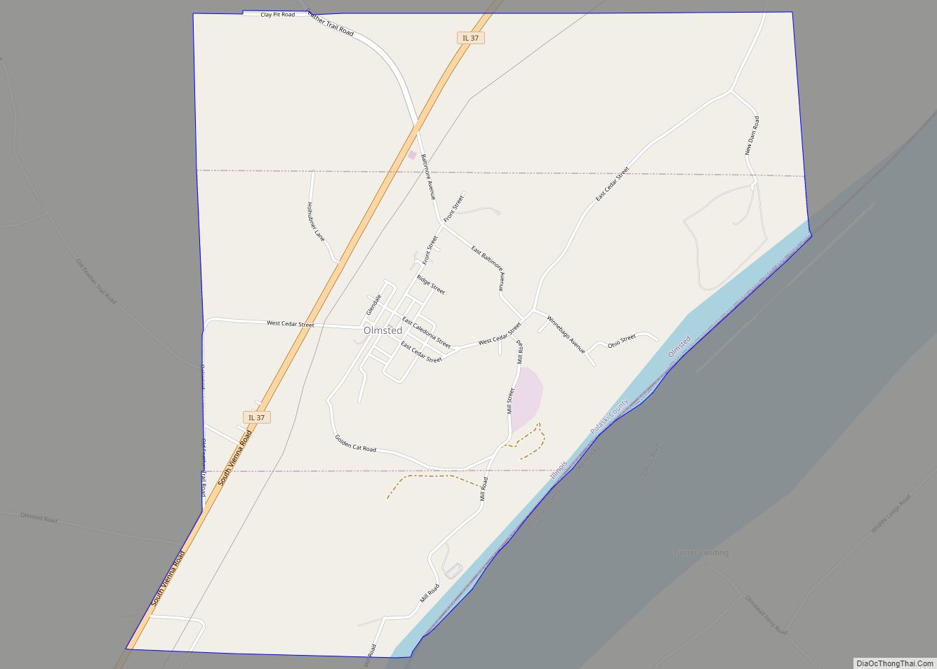
Online Interactive Map
Click on ![]() to view map in "full screen" mode.
to view map in "full screen" mode.
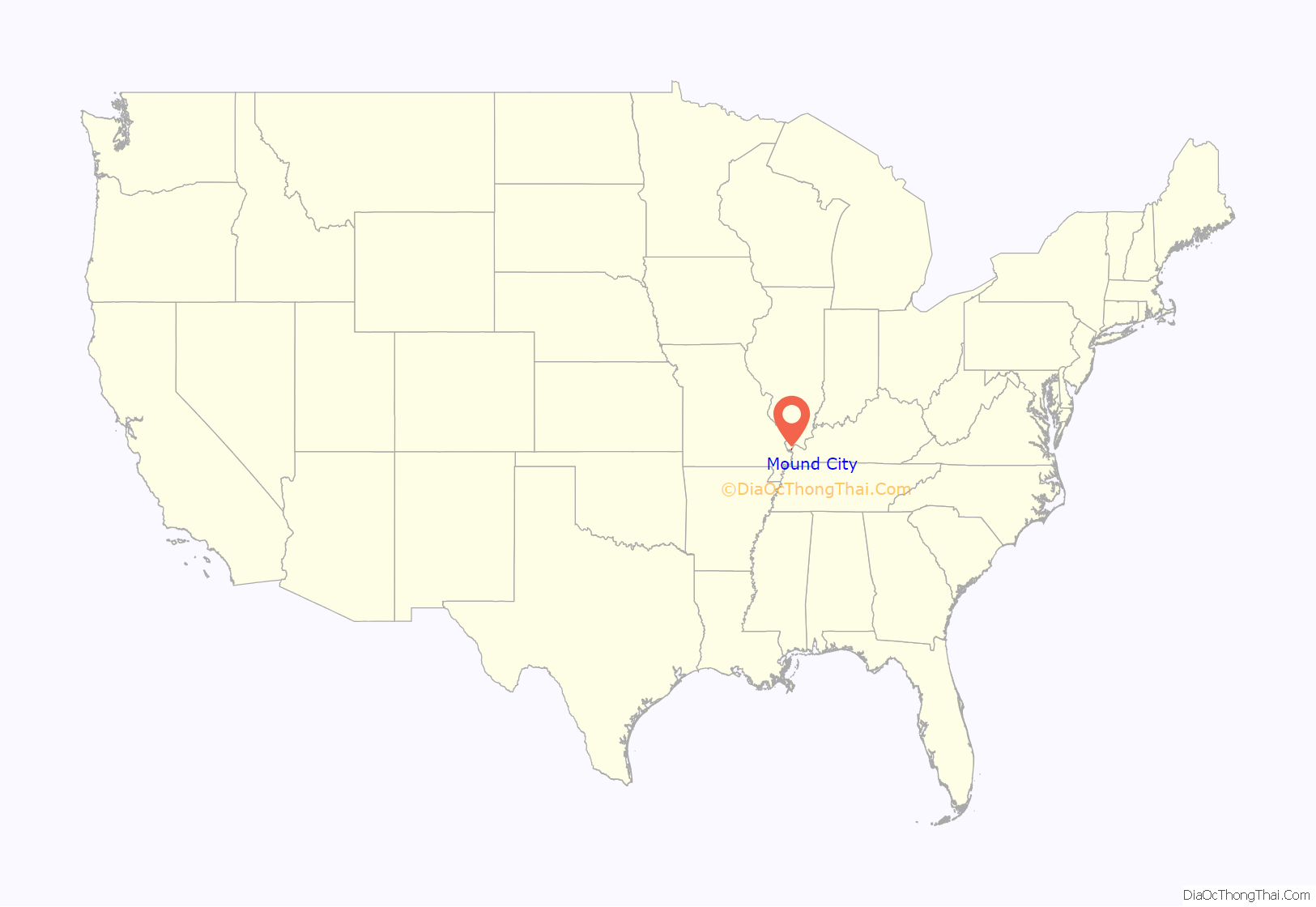
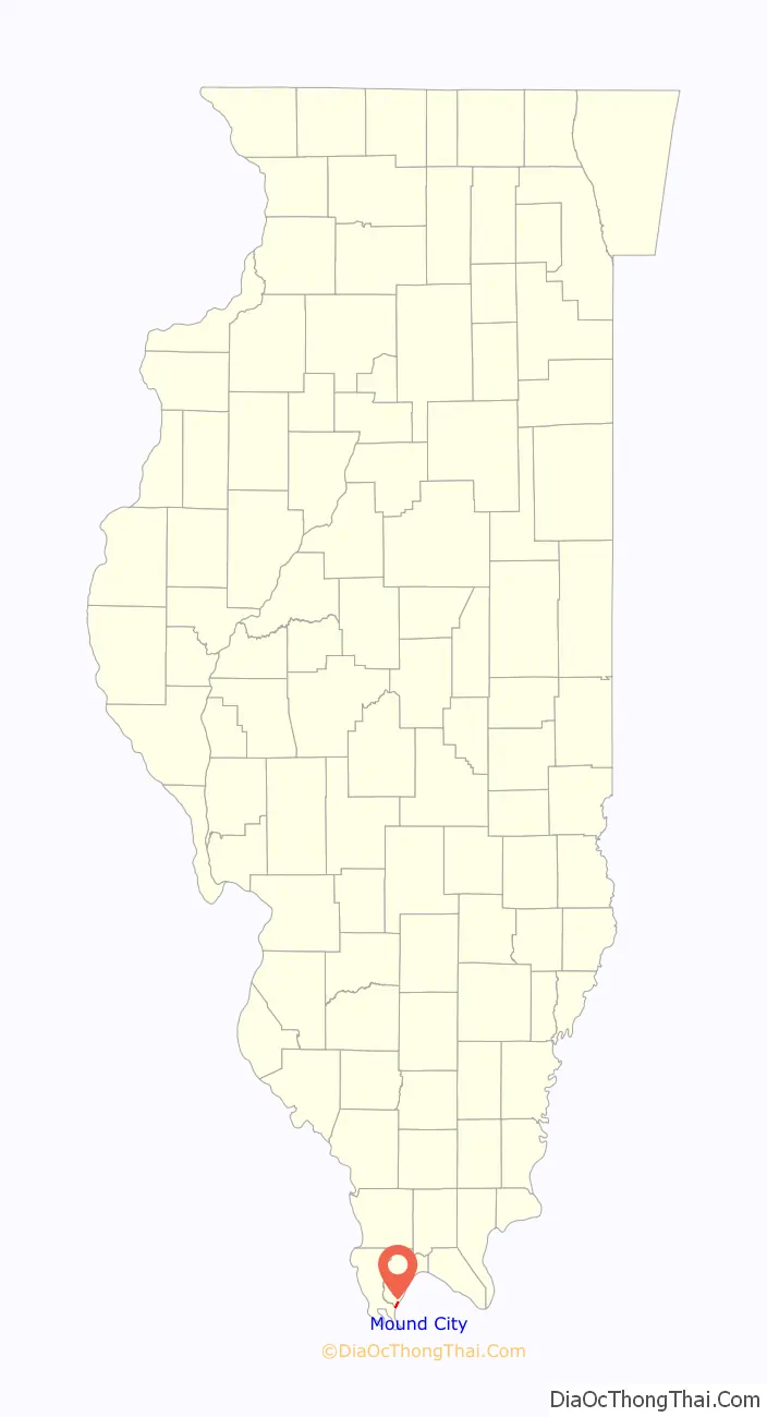
Mound City location map. Where is Mound City city?
History
Mound City was incorporated in 1857 as a union of two cities: Mound City, founded by Major General Moses Marshal Rawlings, and Emporium City, a project of the Emporium Real Estate and Manufacturing Company, a group of Cincinnati and Cairo businessmen. The city took its name from a Native American mound on which guests at General Rawlings’ hotel would sleep in summer, as the breezes cooled them and dispersed the mosquitoes.
During the Civil War, Admiral Andrew Hull Foote made Cairo the naval station for the Mississippi River Squadron of over 200 ironclads, timberclads, hospital ships, transports, and other vessels. Since Cairo had no land available for base facilities, the navy yard repair shop machinery was afloat aboard wharf-boats, old steamers, tugs, flat-boats, and rafts. The naval station was moved upstream in 1862 when 10 acres (4.0 ha) of land was purchased in Mound City. The Mound City Naval Station included a shipyard with marine ways, a foundry, marine barracks, supply offices, and a hospital; but many repair facilities remained afloat because the Mound City land was frequently inundated by flood waters.
USS Cairo was built in 1861 by James Eads and Co. of Mound City, under contract to the War Department. She was commissioned in January 1862 as part of the Mississippi River Squadron, U.S. Navy Lieutenant James M. Prichett in command. She was a City-class ironclad gunboat constructed for the Union Navy during the American Civil War. She was the lead ship of the City-class gunboats, sometimes also called the Cairo class, and was named for Cairo, Illinois. On December 12, 1862 just north of Vicksburg, Mississippi, the USS Cairo became the first ship sunk by electrically detonated torpedoes during its mission to destroy Confederate batteries and clear the Yazoo River of underwater mines.
In 2017, Mound City elected Allison Madison, the city’s first African-American and first female mayor.
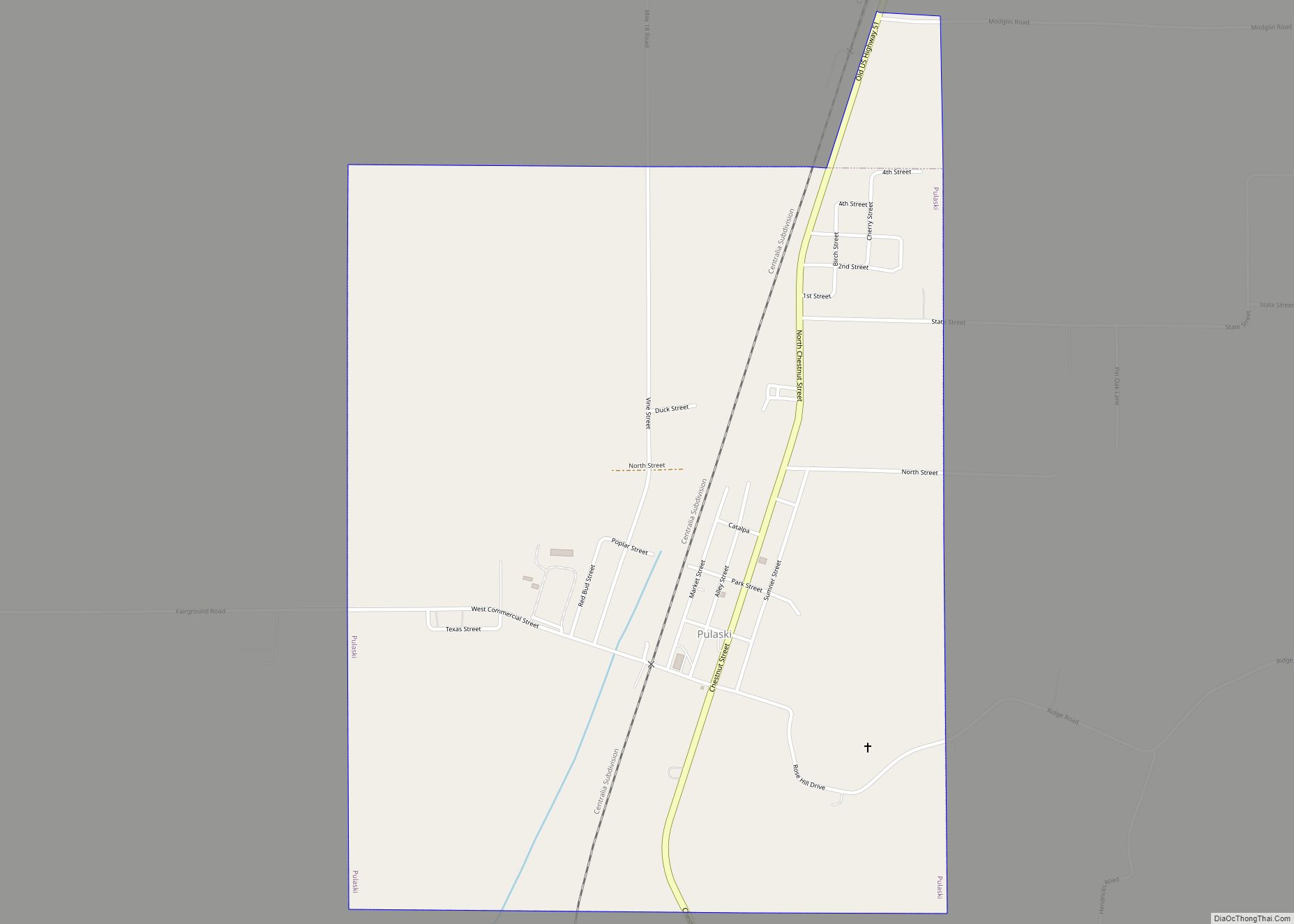
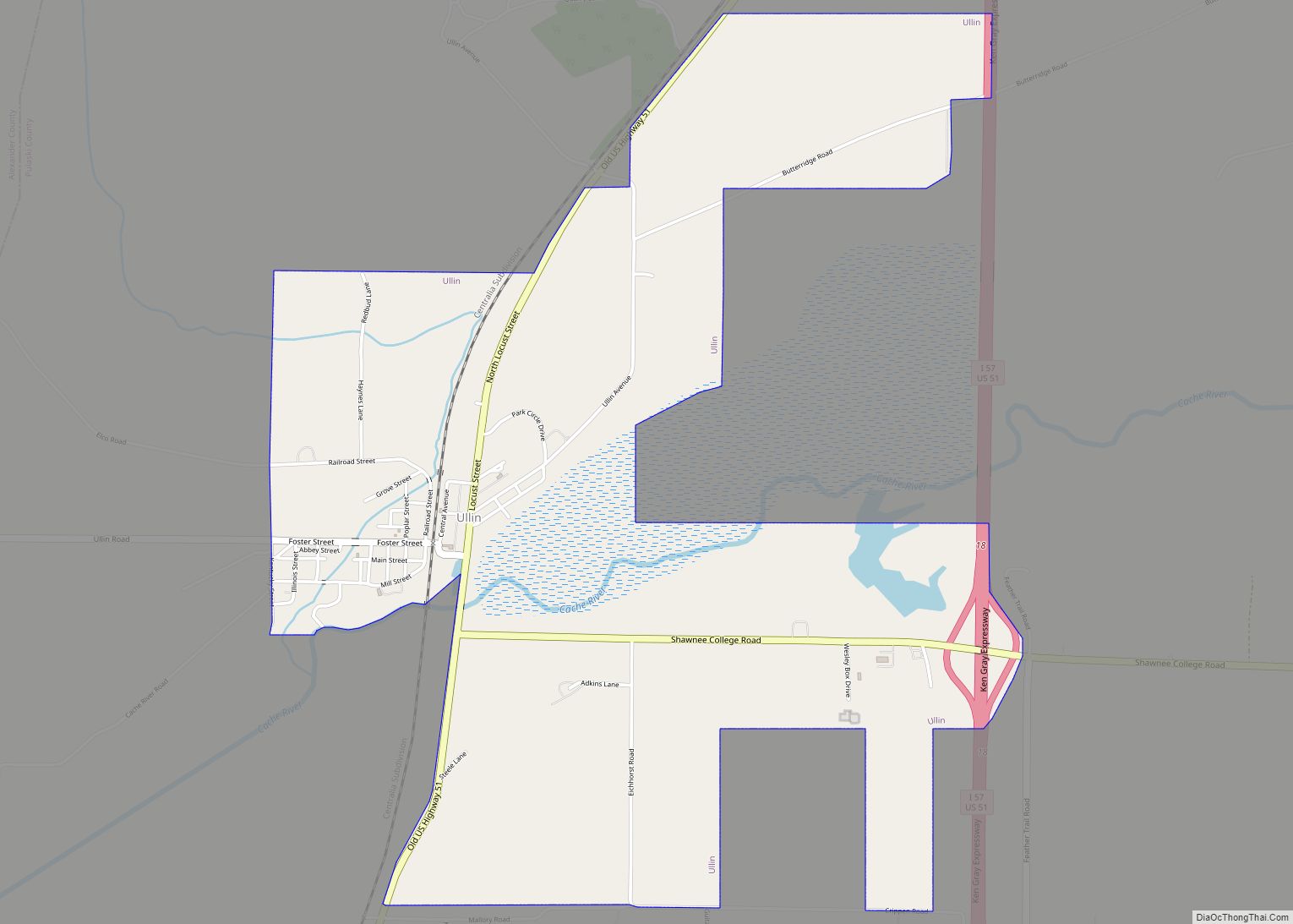
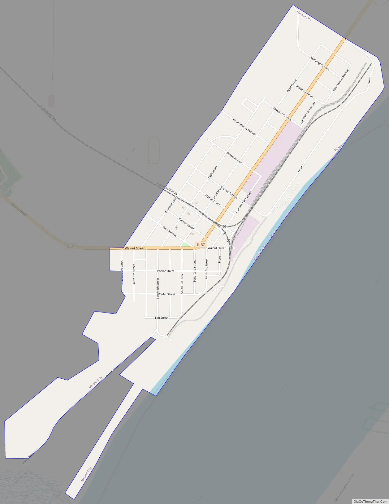
Mound City Road Map
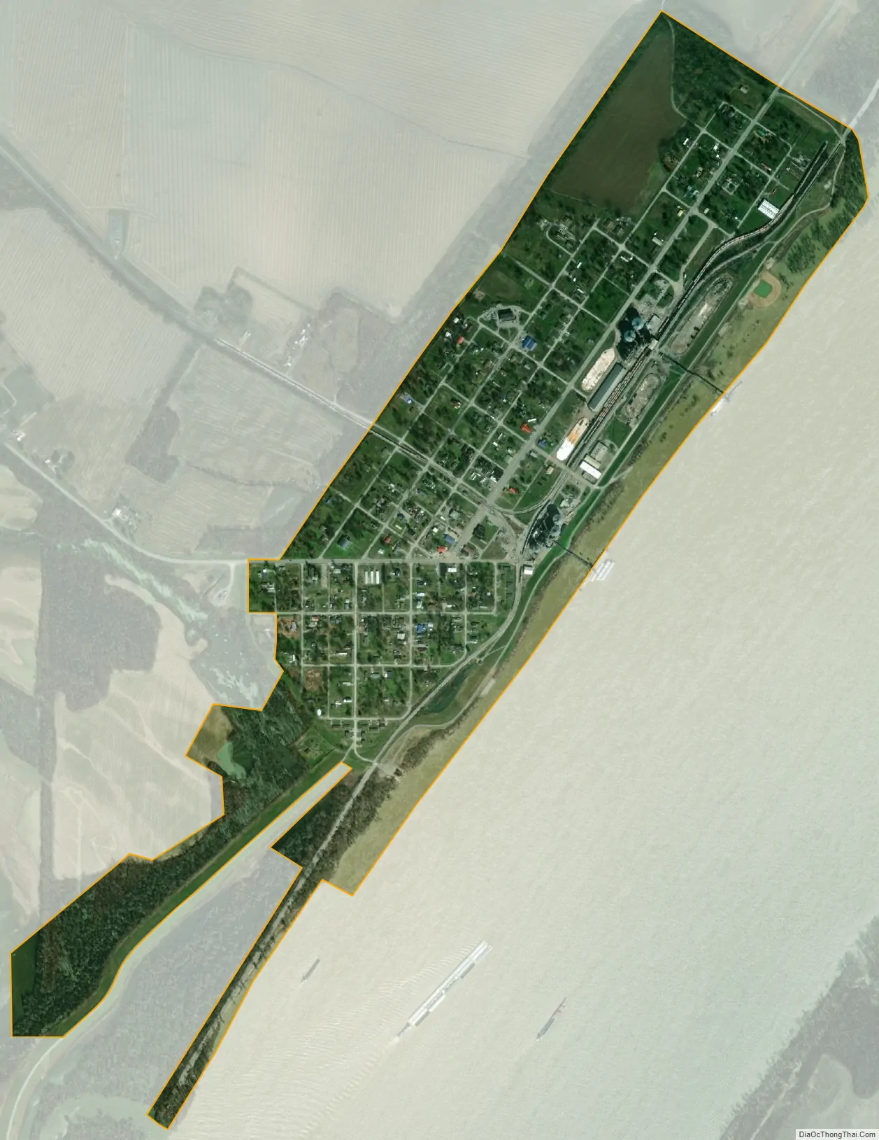
Mound City city Satellite Map
Geography
Mound City is located at 37°5′8″N 89°9′47″W / 37.08556°N 89.16306°W / 37.08556; -89.16306 (37.085624, -89.163054).
According to the 2010 census, Mound City has a total area of 0.729 square miles (1.89 km), of which 0.67 square miles (1.74 km) (or 91.91%) is land and 0.059 square miles (0.15 km) (or 8.09%) is water.
The majority of the Native American mounds for which the city was named have been destroyed by development and farming.
See also
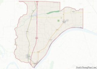
Map of Illinois State and its subdivision:- Adams
- Alexander
- Bond
- Boone
- Brown
- Bureau
- Calhoun
- Carroll
- Cass
- Champaign
- Christian
- Clark
- Clay
- Clinton
- Coles
- Cook
- Crawford
- Cumberland
- De Kalb
- De Witt
- Douglas
- Dupage
- Edgar
- Edwards
- Effingham
- Fayette
- Ford
- Franklin
- Fulton
- Gallatin
- Greene
- Grundy
- Hamilton
- Hancock
- Hardin
- Henderson
- Henry
- Iroquois
- Jackson
- Jasper
- Jefferson
- Jersey
- Jo Daviess
- Johnson
- Kane
- Kankakee
- Kendall
- Knox
- La Salle
- Lake
- Lake Michigan
- Lawrence
- Lee
- Livingston
- Logan
- Macon
- Macoupin
- Madison
- Marion
- Marshall
- Mason
- Massac
- McDonough
- McHenry
- McLean
- Menard
- Mercer
- Monroe
- Montgomery
- Morgan
- Moultrie
- Ogle
- Peoria
- Perry
- Piatt
- Pike
- Pope
- Pulaski
- Putnam
- Randolph
- Richland
- Rock Island
- Saint Clair
- Saline
- Sangamon
- Schuyler
- Scott
- Shelby
- Stark
- Stephenson
- Tazewell
- Union
- Vermilion
- Wabash
- Warren
- Washington
- Wayne
- White
- Whiteside
- Will
- Williamson
- Winnebago
- Woodford
- Alabama
- Alaska
- Arizona
- Arkansas
- California
- Colorado
- Connecticut
- Delaware
- District of Columbia
- Florida
- Georgia
- Hawaii
- Idaho
- Illinois
- Indiana
- Iowa
- Kansas
- Kentucky
- Louisiana
- Maine
- Maryland
- Massachusetts
- Michigan
- Minnesota
- Mississippi
- Missouri
- Montana
- Nebraska
- Nevada
- New Hampshire
- New Jersey
- New Mexico
- New York
- North Carolina
- North Dakota
- Ohio
- Oklahoma
- Oregon
- Pennsylvania
- Rhode Island
- South Carolina
- South Dakota
- Tennessee
- Texas
- Utah
- Vermont
- Virginia
- Washington
- West Virginia
- Wisconsin
- Wyoming