Sagadahoc County (/ˈsæɡədəˌhɒk/ SAG-ə-də-hok) is a county located in the U.S. state of Maine. As of the 2020 census, the population was 36,699. Its county seat is Bath. In geographic area, it is the smallest county in Maine.
Sagadahoc County is part of the Portland–South Portland, ME Metropolitan Statistical Area.
| Name: | Sagadahoc County |
|---|---|
| FIPS code: | 23-023 |
| State: | Maine |
| Founded: | February 14, 1854 |
| Named for: | Abenaki word meaning “mouth of the big river;” a former name for the Kennebec River |
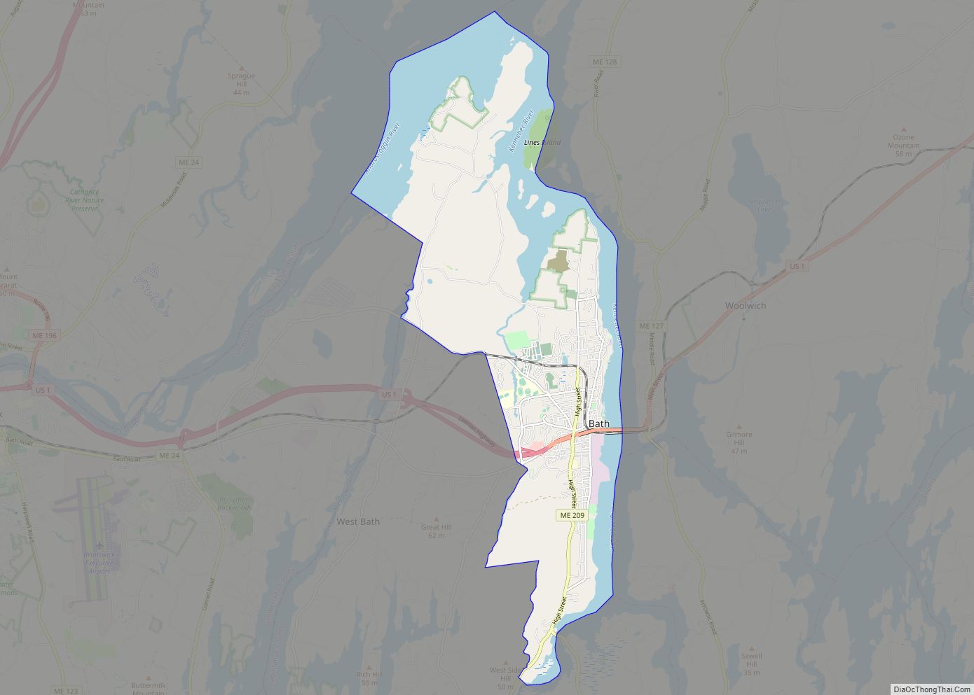
| Seat: | Bath |
| Largest city: | Bath |
| Total Area: | 370 sq mi (1,000 km²) |
| Land Area: | 254 sq mi (660 km²) |
| Total Population: | 36,699 |
| Population Density: | 99/sq mi (38/km²) |
| Time zone: | UTC−5 (Eastern) |
| Summer Time Zone (DST): | UTC−4 (EDT) |
| Website: | www.sagcounty.com |
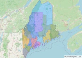
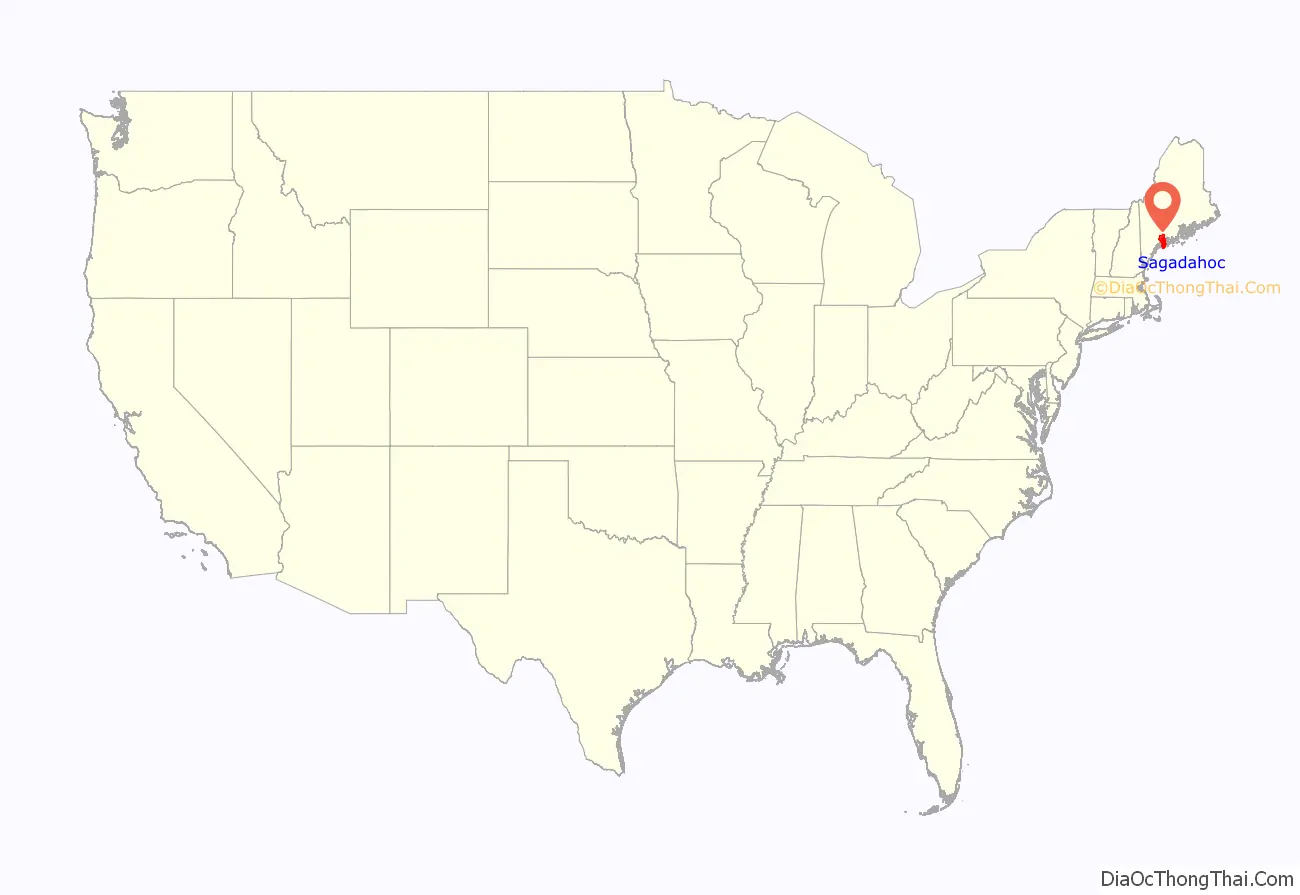
Sagadahoc County location map. Where is Sagadahoc County?
History
Exploration and settlement
Sagadahoc County was initially part of York and, later, Lincoln County before being set off and incorporated in 1854. The name comes from the “Sagadahoc River”, an early name for the Kennebec River. Samuel de Champlain led the first known visit of Europeans to the region. In 1607, the English Popham Colony was established in what is now Phippsburg; it was abandoned a year later, but English fishermen and trappers continued to visit the area. John Smith explored the region in 1614 and reported back to King Charles I, who named the Sagadahoc area “Leethe.”
When the Plymouth Council for New England was dissolved in 1635, 10,000 acres (40 km) on the east side of the Kennebec River were divided up and granted to private owners. Over the years, these proprietors extended their claims through additional land grants, purchases from Native Americans, and exploitation of the often poorly defined boundaries of their lands. By 1660, Englishmen held the titles to the whole of what is now Sagadahoc County.
When King Philip’s War broke out in 1675, the plundering of one house was the only hostile act in Sagadahoc County until August, 1676, at which point three settlements were attacked and 53 people taken captive by Native Americans. The region was almost totally abandoned by settlers, and no permanent settlement was established until 1715, when Arrowsic and Brunswick were founded. Scotch-Irish Presbyterians began immigrating to the region in increasingly large numbers, though occasional violence persisted until 1759, when the French and Indian Wars ended in Maine.
Later conflicts
There were no significant conflicts in Sagadahoc during the American Revolutionary War, despite fear of attack from British cruisers. Two British armed vessels sailed up the Kennebec River toward Bath, but turned back after being attacked. In the War of 1812, the capture of HMS Boxer occurred nearby. During the Civil War the county furnished to the Union forces 2,488 men.
Nineteenth century
Steam power was first used on the Kennebec as early as 1818 for propelling boats. What became the Bath branch of the Maine Central Railroad was completed in 1849; and the Knox and Lincoln Railroad was opened in 1871. The first newspaper was published in the county in 1820.
Sagadahoc County was set off from Lincoln and incorporated in 1854, with Bath as the county seat. Its valuation in 1870 was $11,041,340. In 1880 it was $10,297,215. The polls in 1870 numbered 4,669, and in 1880, 5,182. The population in 1870 was 18,803. In 1880 it was 19,276.
From 1880 to 2000, the county’s population nearly doubled to 35,214.
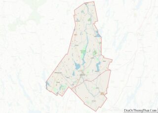
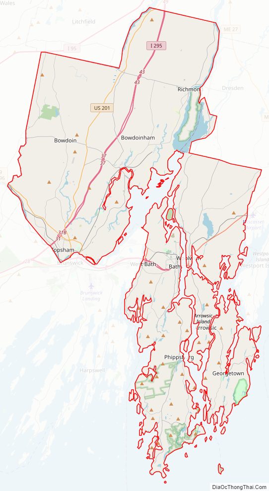
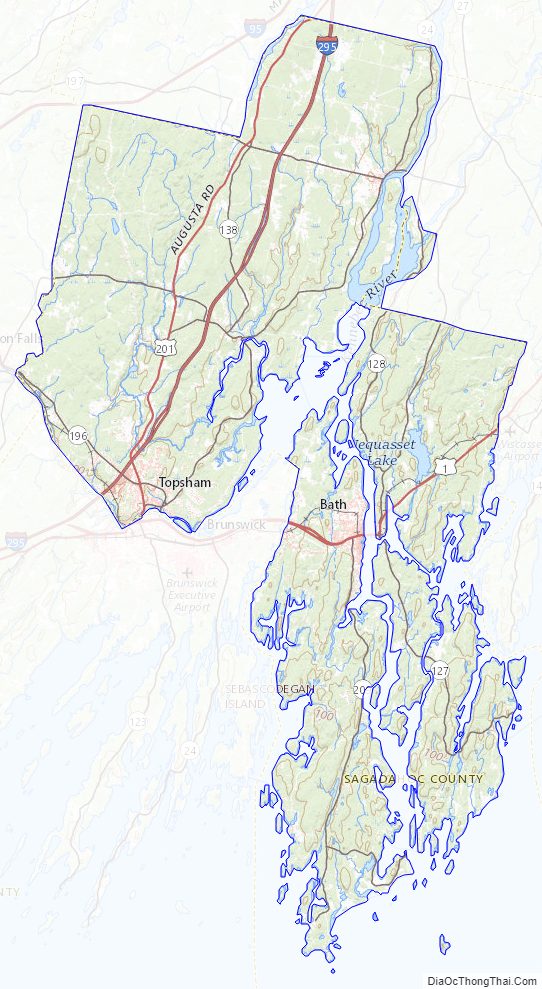
Sagadahoc County Road Map
Geography
According to the U.S. Census Bureau, the county has a total area of 370 square miles (960 km), of which 254 square miles (660 km) is land and 116 square miles (300 km) (31%) is water. It is the smallest county in Maine by area.
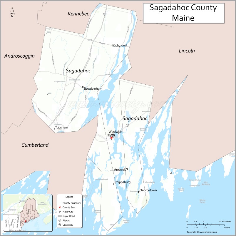
Adjacent counties
- Kennebec County – north
- Lincoln County – east
- Cumberland County – west
- Androscoggin County – northwest
National protected area
- Pond Island National Wildlife Refuge
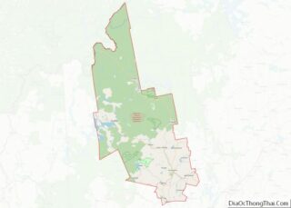
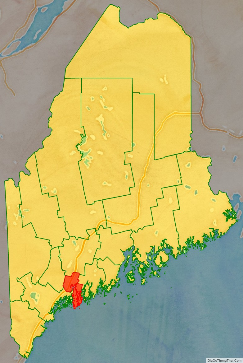
Sagadahoc County Topographic Map
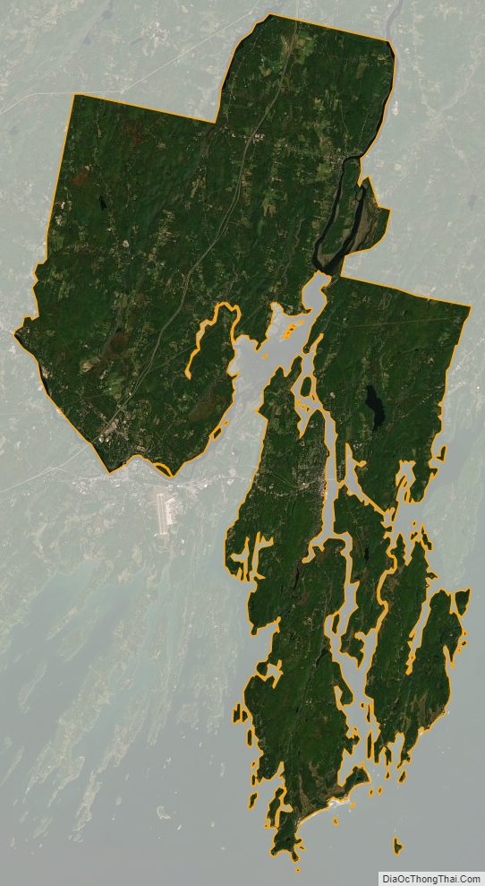
Sagadahoc County Satellite Map
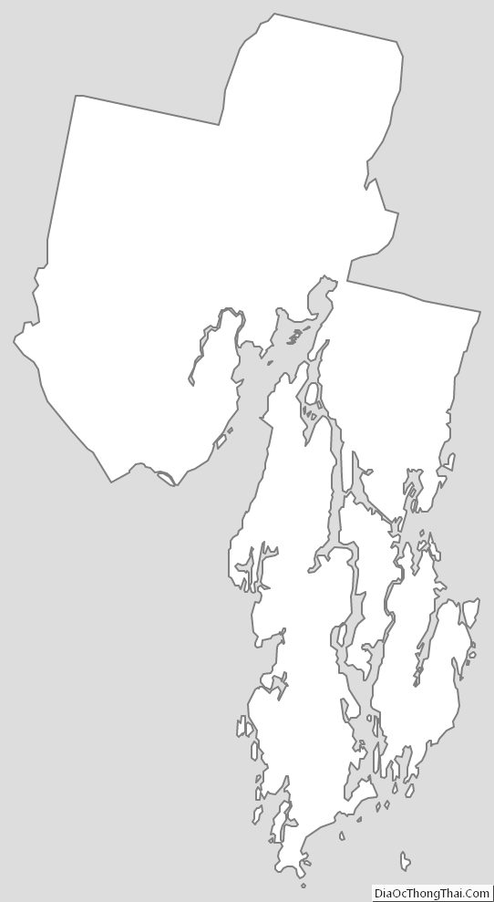
Sagadahoc County Outline Map