York County is the southwesternmost county in the U.S. state of Maine, along the state of New Hampshire‘s eastern border. It is divided from Strafford County, New Hampshire, by the Salmon Falls River, and the connected tidal estuary—the Piscataqua River. York County was permanently established in 1639. It is the state’s oldest county and one of the oldest in the United States. Several of Maine’s earliest colonial settlements are found in the county. As of the 2020 census, its population was 211,972, making it Maine’s second-most populous county. Its county seat is Alfred. York County is part of the Portland–South Portland, Maine Metropolitan Statistical Area.
| Name: | York County |
|---|---|
| FIPS code: | 23-031 |
| State: | Maine |
| Founded: | 1636 |
| Named for: | York, England |
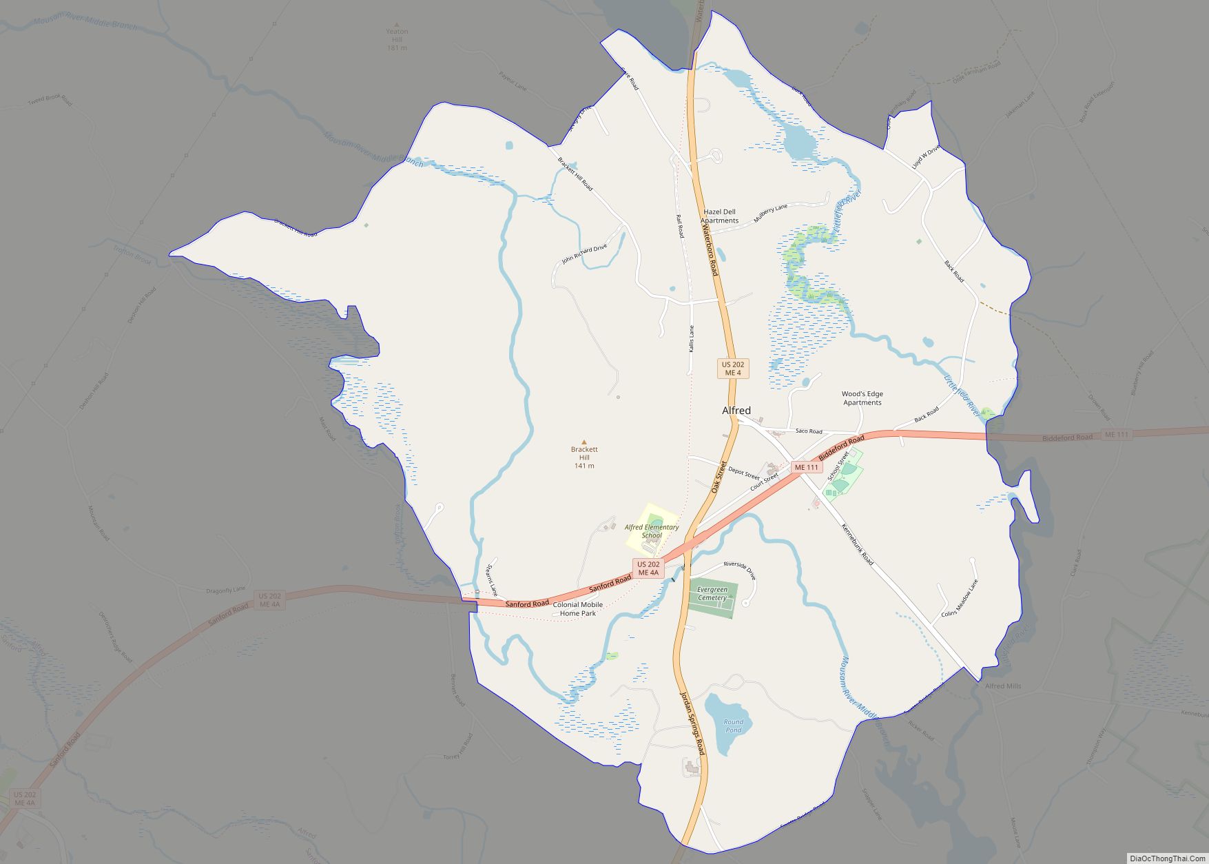
| Seat: | Alfred |
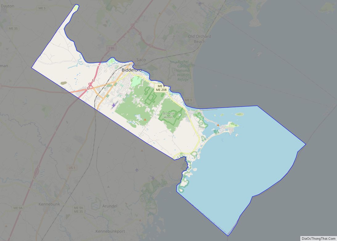
| Largest city: | Biddeford |
| Total Area: | 1,270 sq mi (3,300 km²) |
| Land Area: | 991 sq mi (2,570 km²) |
| Total Population: | 211,972 |
| Population Density: | 170/sq mi (64/km²) |
| Time zone: | UTC−5 (Eastern) |
| Summer Time Zone (DST): | UTC−4 (EDT) |
| Website: | www.yorkcountymaine.gov |
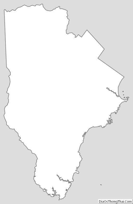
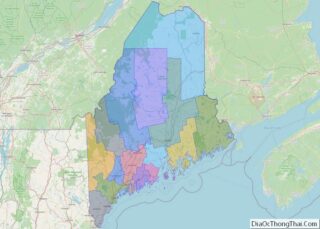
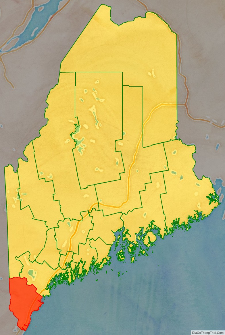
York County location map. Where is York County?

History
1622 patent
The first patent establishing the Province of Maine was granted on August 10, 1622, to Ferdinando Gorges and John Mason by the Plymouth Council for New England, which itself had been granted a royal patent by James I to the coast of North America between the 40th and the 48th parallels “from sea to sea”. This first patent encompassed the coast between the Merrimack and Kennebec rivers, as well as an irregular parcel of land between the headwaters of the two rivers. In 1629, Gorges and Mason agreed to split the patent at the Piscataqua River, with Mason retaining the land south of the river as the Province of New Hampshire.
Gorges named his more northerly piece of territory New Somersetshire. This venture failed, however, because of lack of funds and colonial settlement. Also failed was a venture by Capt. Christopher Levett, an agent for Gorges and a member of the Council for New England. With the King’s blessing, Levett embarked on a scheme to found a colony on the site of present-day Portland. Levett was granted 6,000 acres (24 km) of land, the first Englishman to own the soil of Portland. There he proposed to found a settlement named York after the city of his birth in England. Ultimately, the project was abandoned, the men Levett left behind disappeared, and Levett died aboard ship on his return to England from the Massachusetts Bay Colony in 1630. One part of Levett’s scheme did survive: the name of York, which now adorns the county.
The now-decommissioned Fort Levett on Cushing Island in Casco Bay is named for Capt. Levett.
1639 patent
In 1639, Gorges obtained a renewed patent, the Gorges Patent, for the area between the Piscataqua and Kennebec Rivers, in the form of a royal charter from Charles I of England. The area was roughly the same as that covered in the 1622 patent after the 1629 split with Mason. The second colony also foundered for lack of money and settlers, although it survived the death of Gorges in 1647.
Absorption by Massachusetts
In the 1650s the nearby Massachusetts Bay Colony asserted territorial claims over what is now southern Maine, and by 1658 had completely absorbed what is now southwestern Maine into York County, Massachusetts.
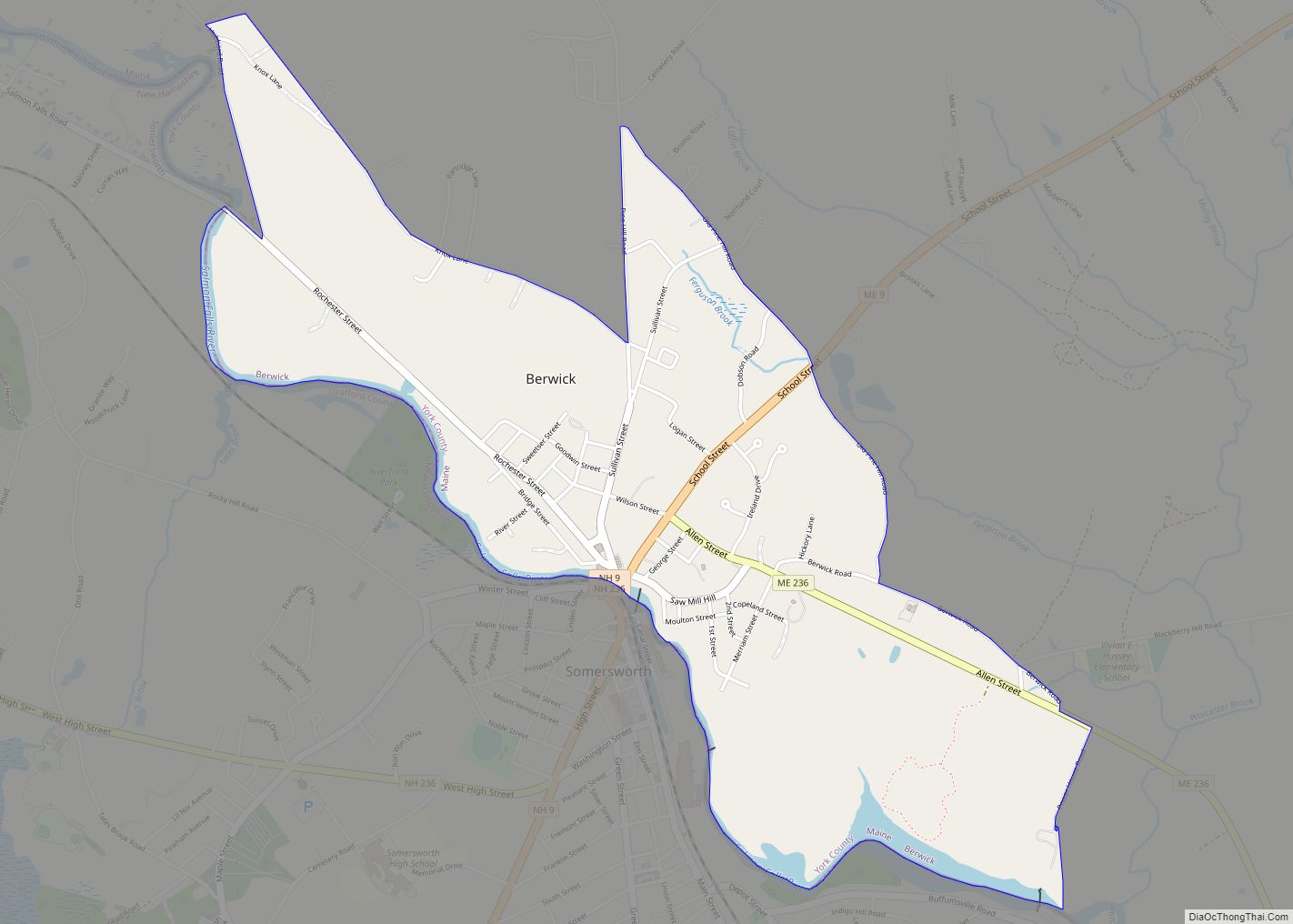
The first known and recorded offer for a purchase of land in York County is in 1668, when Francis Small traded goods with the Newichewannock tribe of this area. Their Chief Wesumbe, also known as Captain Sandy, was friendly with Small and warned him of a plot against his life. A group of renegade tribesmen planned on murdering Small instead of paying him with the furs that were owed to him. Small escaped after watching his house in what is now Cornish, Maine, burn to the ground. Small returned and rebuilt. The Chief made up the loss by selling Small all the lands bounded by the Great and Little Ossipee Rivers, the Saco River, and the New Hampshire border. Known now as the five Ossipee towns, the tract included all of Limington, Limerick, Cornish (formerly named Francisborough), Newfield and Parsonsfield.
The large size of the county led to its division in 1760, with Cumberland and Lincoln counties carved out of its eastern portions. When Massachusetts adopted its state government in 1780, it created the District of Maine to manage its eastern territories. In 1805 the northern portion of York County was separated to form part of Oxford County. When Maine achieved statehood in 1820 all of the counties of the District of Maine became counties of Maine.
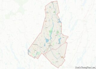
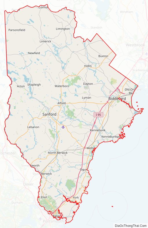
York County Road Map
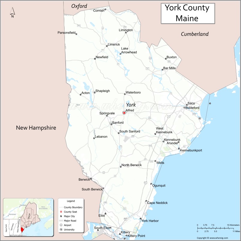
Geography
According to the U.S. Census Bureau, the county has a total area of 1,270 square miles (3,300 km), of which 991 square miles (2,570 km) is land and 279 square miles (720 km) (22%) is water.
Adjacent counties
- Oxford County – north
- Cumberland County – northeast
- Rockingham County, New Hampshire – southwest
- Strafford County, New Hampshire – west
- Carroll County, New Hampshire – northwest
National protected area
- Rachel Carson National Wildlife Refuge (part)
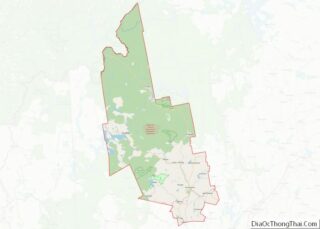
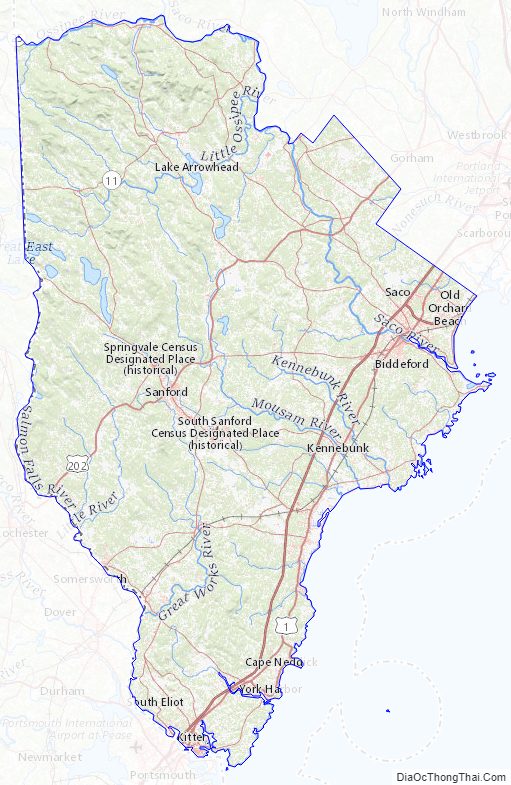
York County Topographic Map
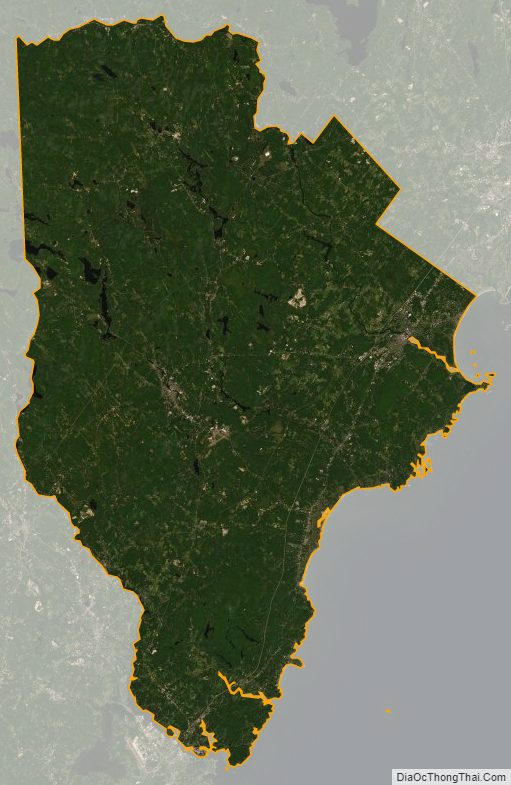
York County Satellite Map
York County Outline Map