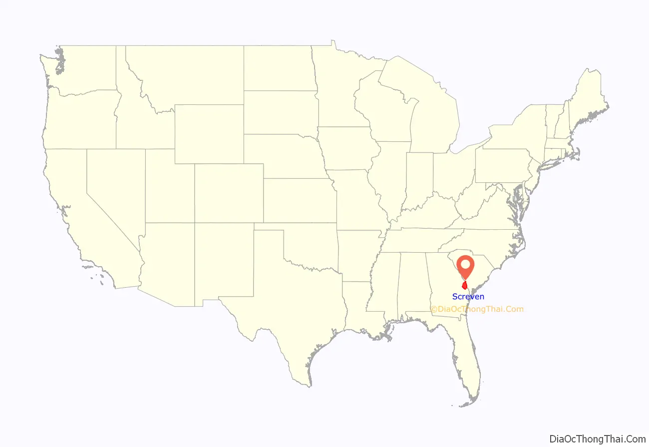
Screven County is a county located in the southeastern part of the U.S. state of Georgia. As of the 2020 census, the population was 14,067. The county seat is Sylvania.
| Name: | Screven County |
|---|---|
| FIPS code: | 13-251 |
| State: | Georgia |
| Founded: | 1793 |
| Named for: | James Screven |
| Seat: | Sylvania |
| Largest city: | Sylvania |
| Total Area: | 656 sq mi (1,700 km²) |
| Land Area: | 645 sq mi (1,670 km²) |
| Total Population: | 14,067 |
| Time zone: | UTC−5 (Eastern) |
| Summer Time Zone (DST): | UTC−4 (EDT) |
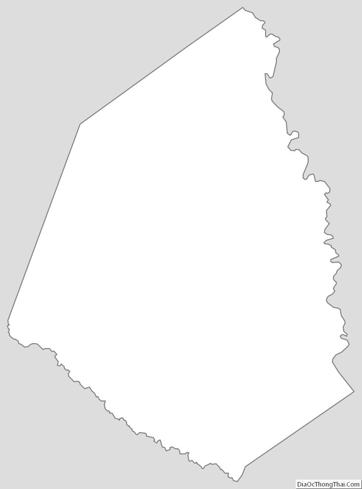
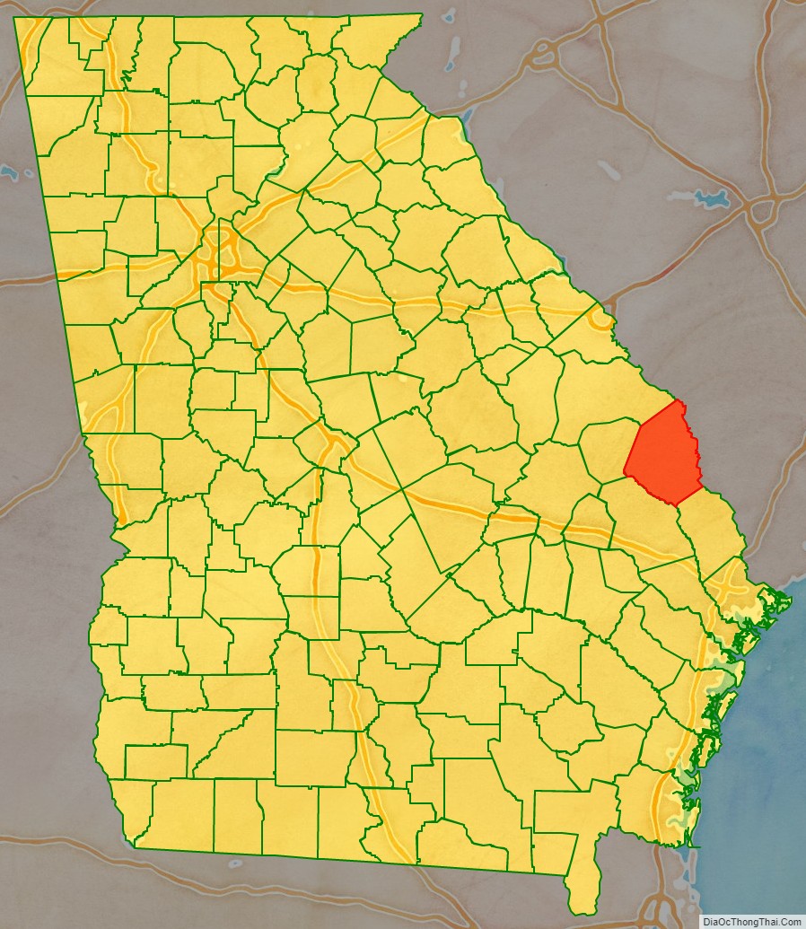
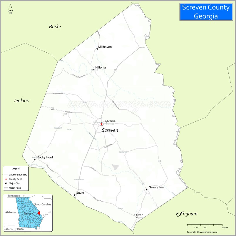
Screven County location map. Where is Screven County?
History
The county was created on December 14, 1793, and was named for General James Screven, who died fighting in Georgia during the American Revolutionary War. Some wartime accounts used the alternate spelling of “Scriven” for the general, and the county’s name was often spelled that way in its early history, as reflected on 19th-century Georgia maps.
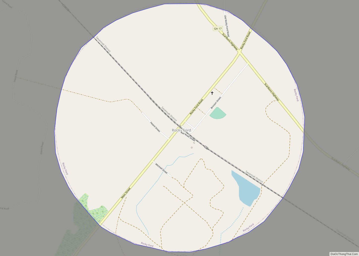
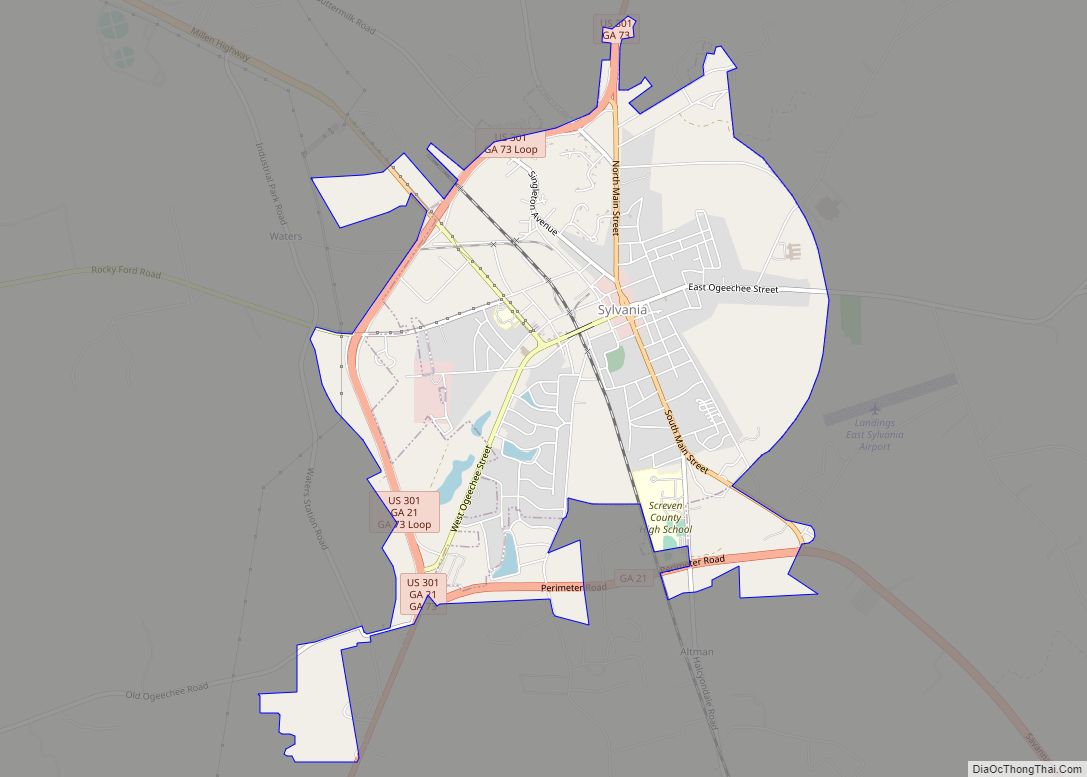
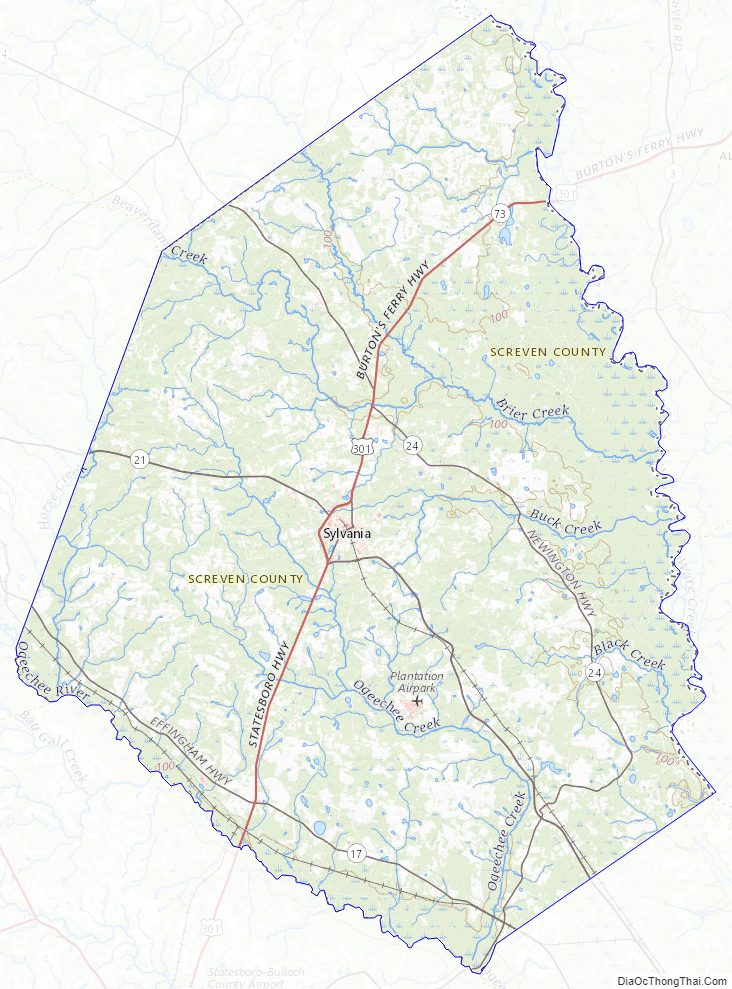
Sylvania became the county seat in 1847, moved from Jacksonborough, by an act of State legislation. Screven County TV
The Screven County Courthouse, built in 1964, is the fourth courthouse to serve Screven County.
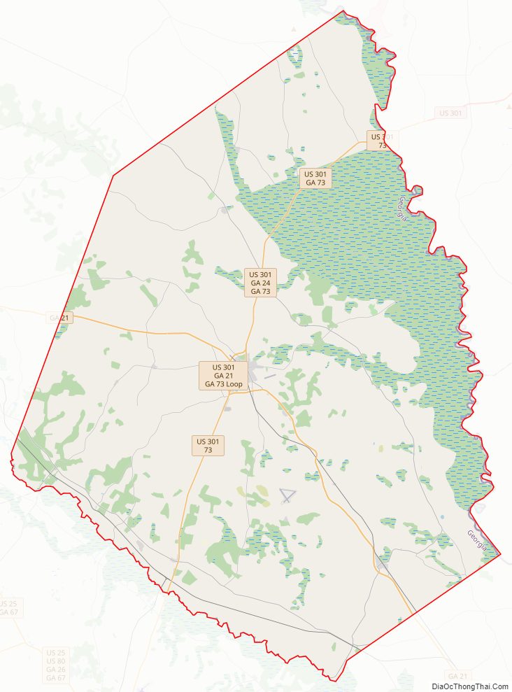
Screven County Road Map
Geography
According to the U.S. Census Bureau, the county has a total area of 656 square miles (1,700 km), of which 645 square miles (1,670 km) is land and 11 square miles (28 km) (1.6%) is water. The Savannah River borders the eastern side of the county, and the Ogeechee River borders the southwest portion. Elevation varies to around 40 feet on the Savannah river to 320 feet at the Bay Branch community, located a few miles west of Sylvania. Pine, oak, dogwood, and other trees prevalent to the South can be found in Screven County.
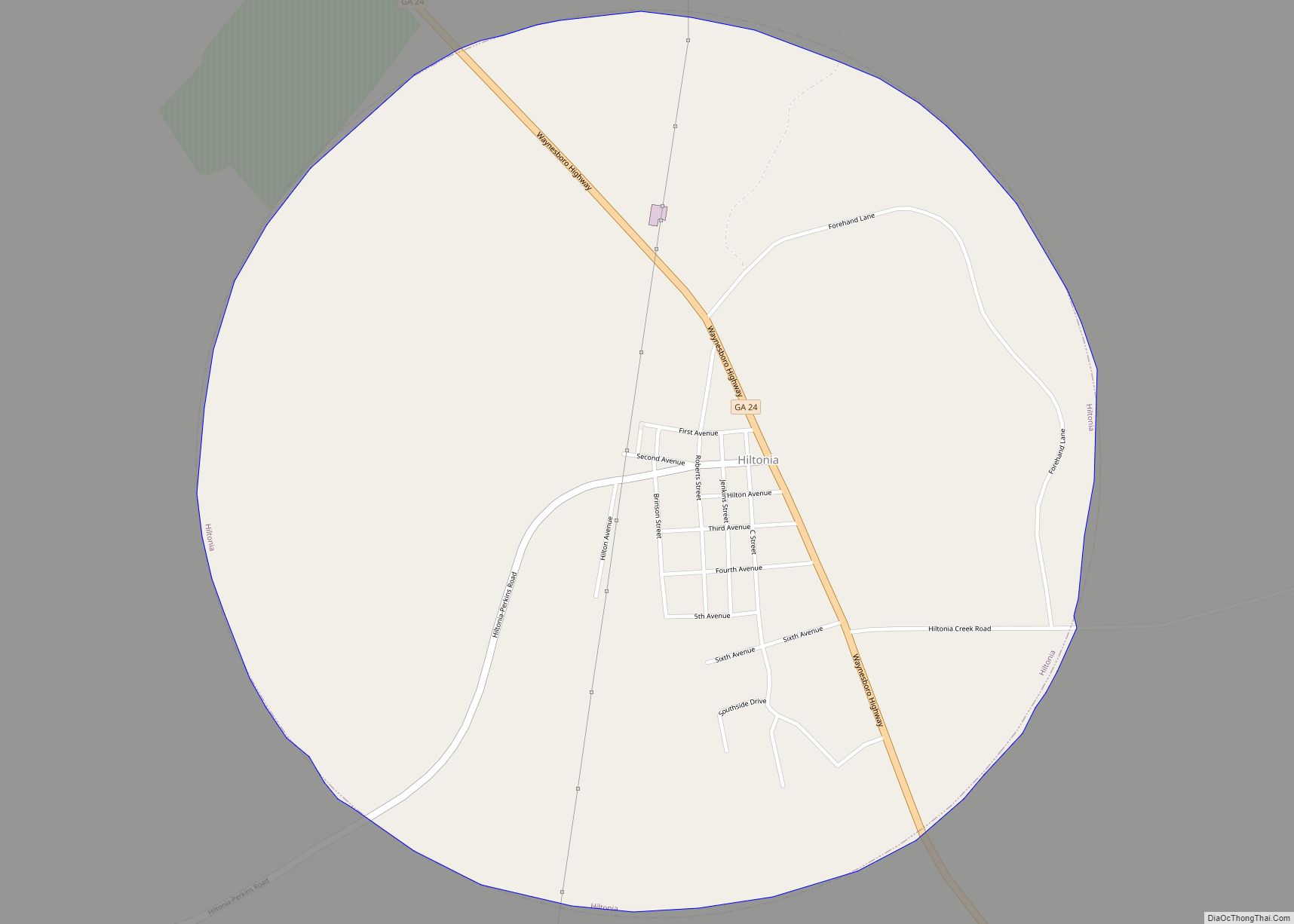
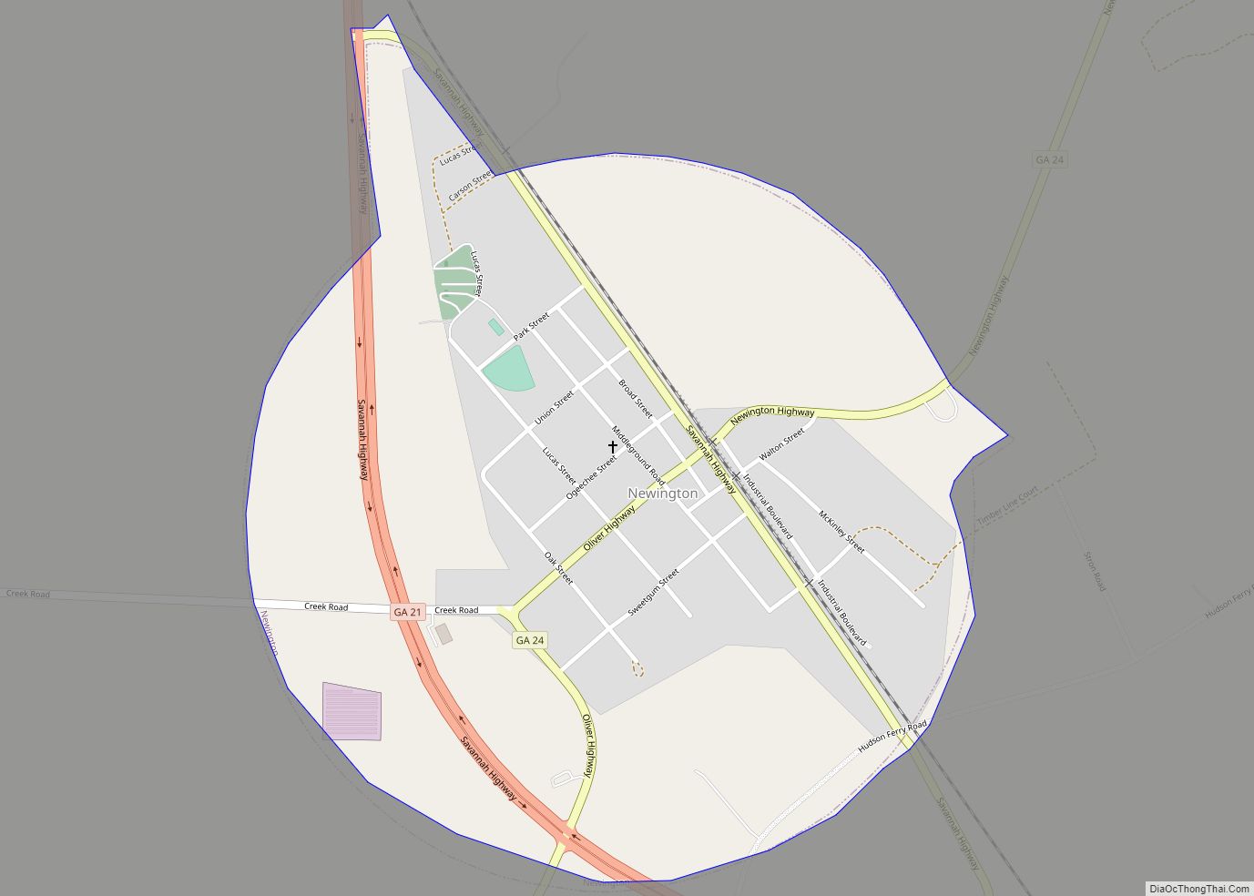
The very northern portion of Screven County, defined by a line running from Girard southeast and parallel to State Route 24 to the South Carolina border, is located in the Middle Savannah River sub-basin of the Savannah River basin. A north-central section of the county, from Sylvania north and centered on Hiltonia, is located in the Brier Creek sub-basin of the same Savannah River basin. The southern portion of Screven County, from Newington running northwest through Sylvania, is located in the Upper Ogeechee River sub-basin of the Ogeechee River basin. The remaining southeastern corner of the county is located in the Lower Savannah River sub-basin of the larger Savannah River basin.
Major highways
- U.S. Route 301
U.S. Route 301 Business- State Route 17
- State Route 21
- State Route 21 Business
- State Route 24
- State Route 73
Adjacent counties
- Allendale County, South Carolina (north)
- Hampton County, South Carolina (east)
- Effingham County (southeast)
- Bulloch County (southwest)
- Jenkins County (west)
- Burke County (northwest)
Screven County Topographic Map
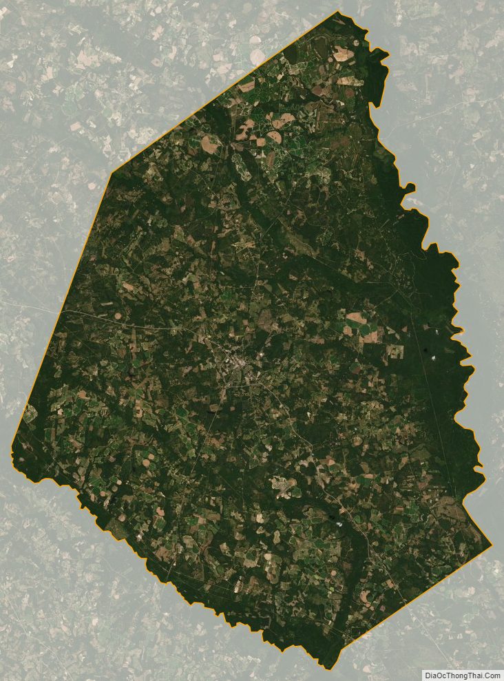
Screven County Satellite Map
Screven County Outline Map