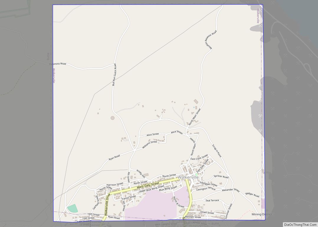
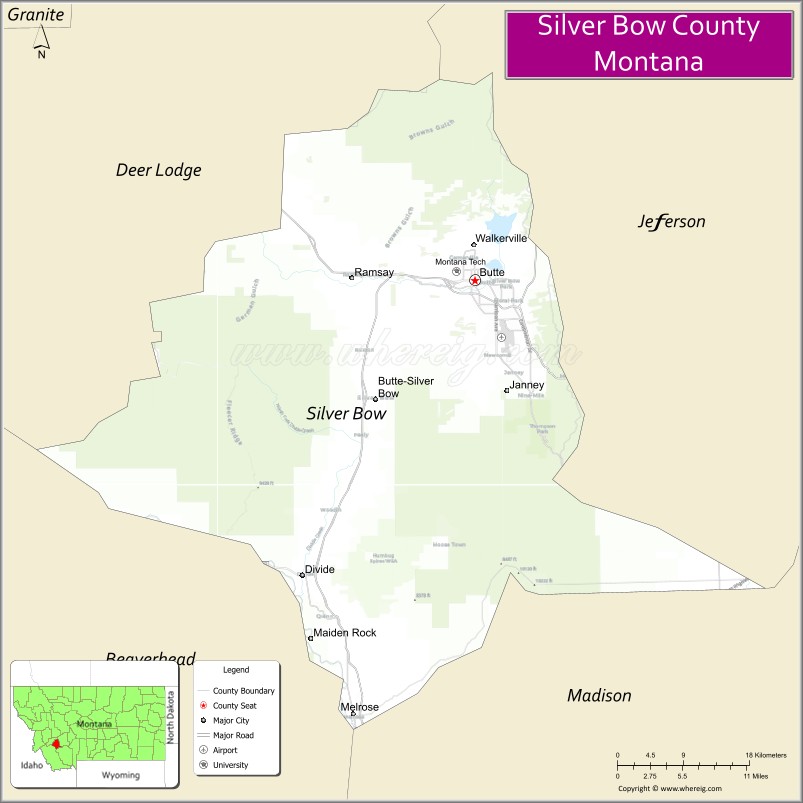
Silver Bow County is a county in the U.S. state of Montana. As of the 2020 census, the population was 35,133. Its county seat is Butte. In 1977, the city and county governments consolidated to form the single entity of Butte-Silver Bow. Additionally, the town of Walkerville is a separate municipality from Butte and is within the county.
Silver Bow County comprises the Butte-Silver Bow, MT Micropolitan Statistical Area.
| Name: | Silver Bow County |
|---|---|
| FIPS code: | 30-093 |
| State: | Montana |
| Founded: | February 16, 1881 |
| Named for: | Silver Bow Creek |
| Seat: | Butte |
| Largest city: | Butte |
| Total Area: | 719 sq mi (1,860 km²) |
| Land Area: | 718 sq mi (1,860 km²) |
| Total Population: | 35,133 |
| Population Density: | 49/sq mi (19/km²) |
| Time zone: | UTC−7 (Mountain) |
| Summer Time Zone (DST): | UTC−6 (MDT) |
| Website: | co.silverbow.mt.us |
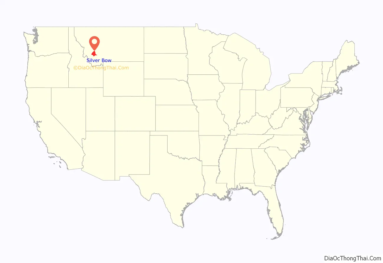
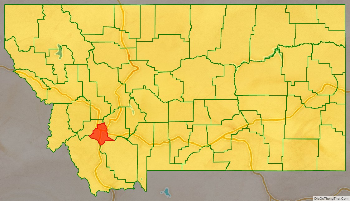
Silver Bow County location map. Where is Silver Bow County?
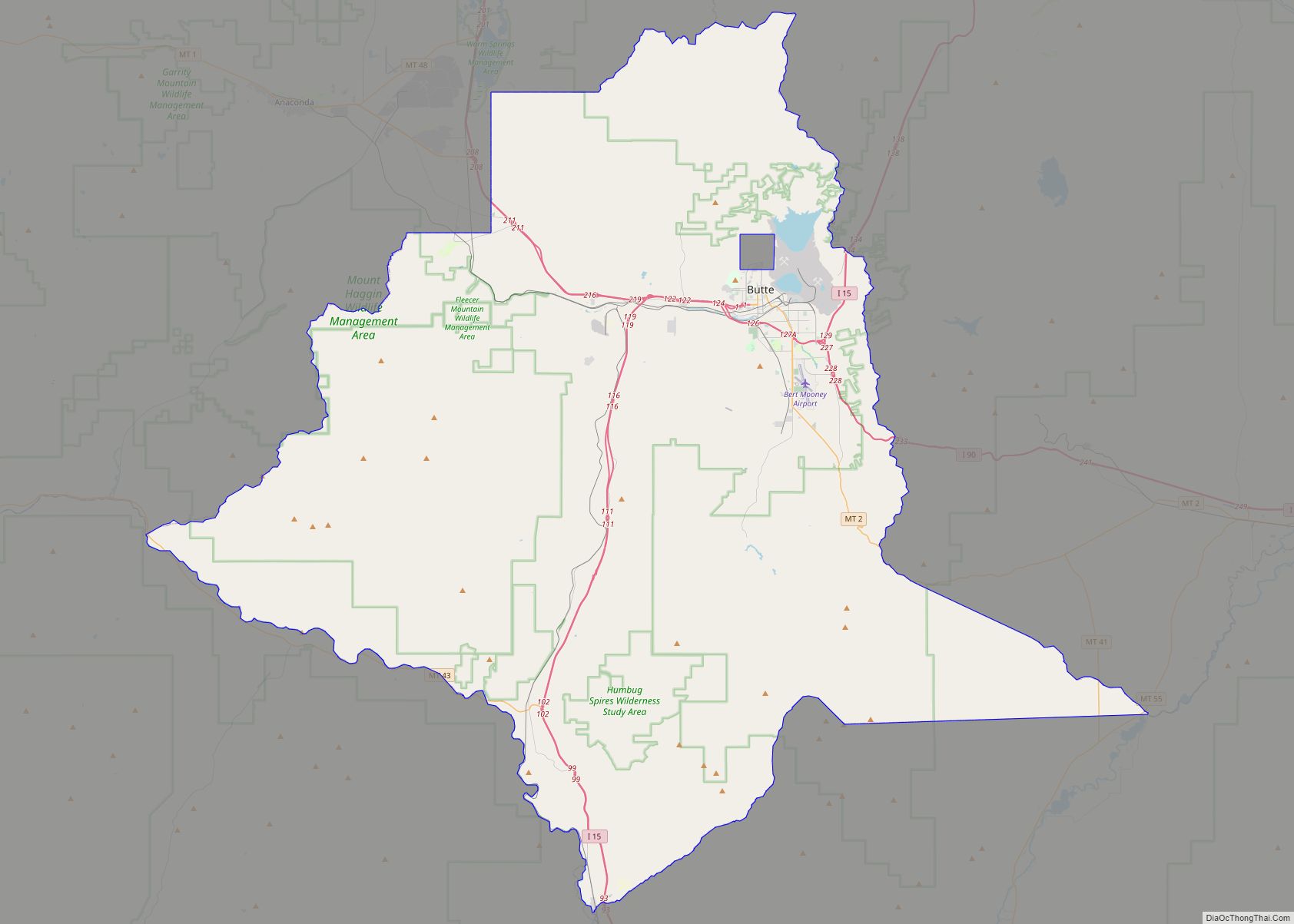
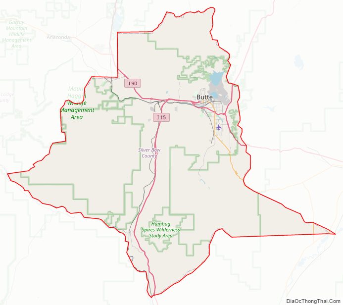
Silver Bow County Road Map
Geography
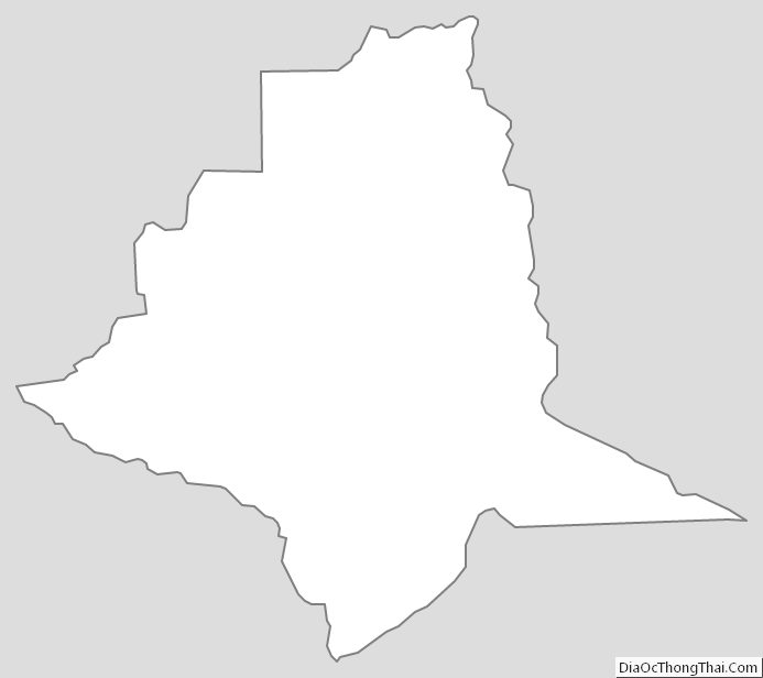
According to the United States Census Bureau, the county has an area of 719 square miles (1,860 km), of which 718 square miles (1,860 km) is land and 0.6 square miles (1.6 km) (0.08%) is water. It is Montana’s smallest county by area.
Major highways
- Interstate 15
- Interstate 90
- Interstate 115
- U.S. Highway 10 (Former)
- U.S. Highway 91
- Montana Highway 2
- Montana Highway 41
- Montana Highway 43
- Montana Highway 55
Adjacent counties
- Deer Lodge County – northwest
- Jefferson County – east
- Madison County – south
- Beaverhead County – southwest
National protected areas
Beaverhead–Deerlodge National Forest (part)
Silver Bow County Topographic Map
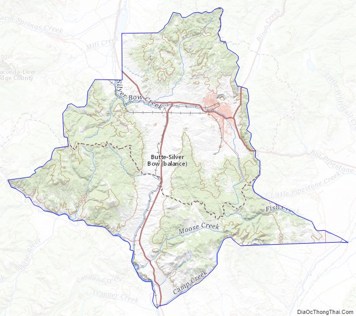
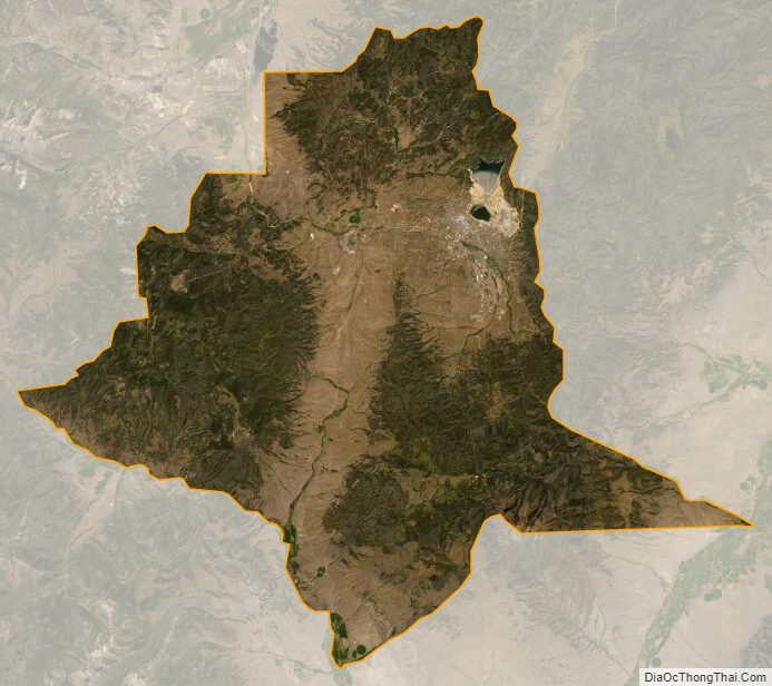
Silver Bow County Satellite Map
Silver Bow County Outline Map