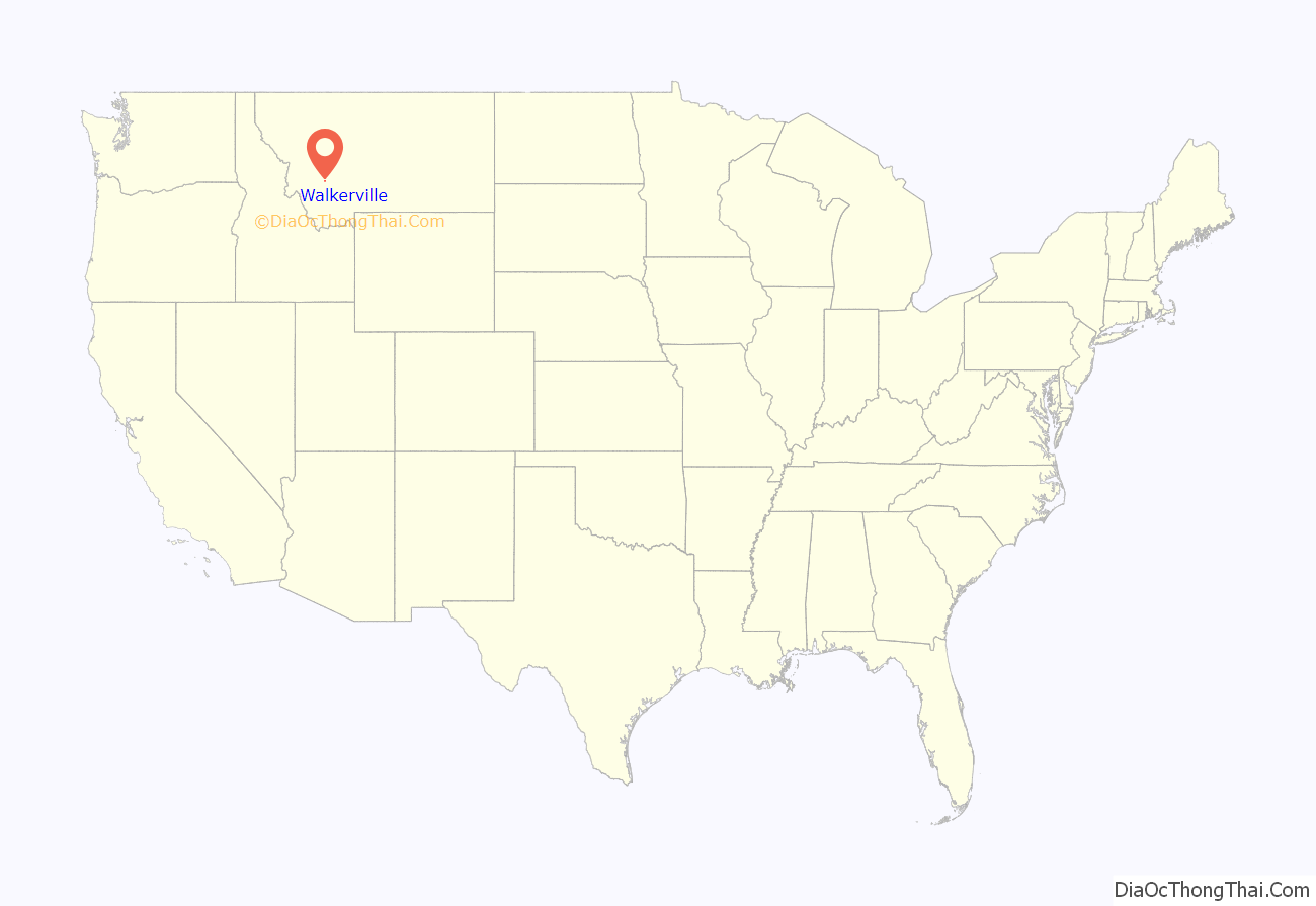
Walkerville is a town in Silver Bow County, Montana, United States, that is an enclave of the consolidated city-county of Butte. The population was 639 at the 2020 census. Walkerville is a suburb of Butte, and the only other incorporated community in the county, as well as the only part of the county that is not part of Butte.
Part of Walkerville is included in the Butte-Anaconda Historic District. Walkerville represents some of the earliest mines in the district and preserves the early mining camp flavor present in the 1890s to 1910s.
| Name: | Walkerville town |
|---|---|
| LSAD Code: | 43 |
| LSAD Description: | town (suffix) |
| State: | Montana |
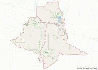
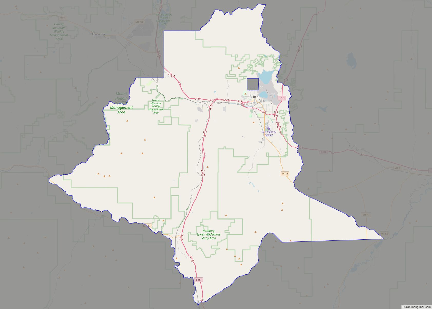
| County: | Silver Bow County |
| Elevation: | 6,309 ft (1,923 m) |
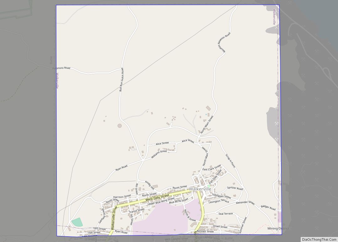
| Total Area: | 2.23 sq mi (5.77 km²) |
| Land Area: | 2.23 sq mi (5.77 km²) |
| Water Area: | 0.00 sq mi (0.00 km²) |
| Total Population: | 639 |
| Population Density: | 286.93/sq mi (110.81/km²) |
| ZIP code: | 59701 |
| Area code: | 406 |
| FIPS code: | 3077650 |
| GNISfeature ID: | 0792762 |
Online Interactive Map
Click on ![]() to view map in "full screen" mode.
to view map in "full screen" mode.
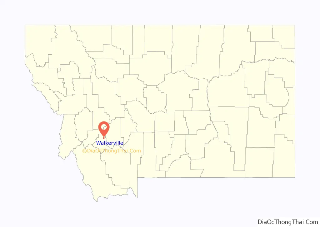
Walkerville location map. Where is Walkerville town?
History
Walkerville is a suburb of Butte, Montana and is home to some of the earliest mining sites in the area. These sites attracted many investors to Walkerville in the late 1800s. Walkerville is named for four of those investors: brothers Joseph, Samuel, Matthew and David Walker of Salt Lake City; they had purchased the lucrative Alice mine upon recommendation by their agent (and later Copper King) Marcus Daly.
There were many different types of materials mined depending on the location of a given site. Copper and silver were two of the most commonly mined materials. In 1893, silver prices dropped, but the town’s economy continued to thrive due to its copper production. Walkerville’s economic success continued until 1918 when the end of World War I caused copper prices to drop as well. In 2015, nearly all of the town’s many mines are abandoned. Some of these sites have become very dangerous and plans are being made to restore or remove them.
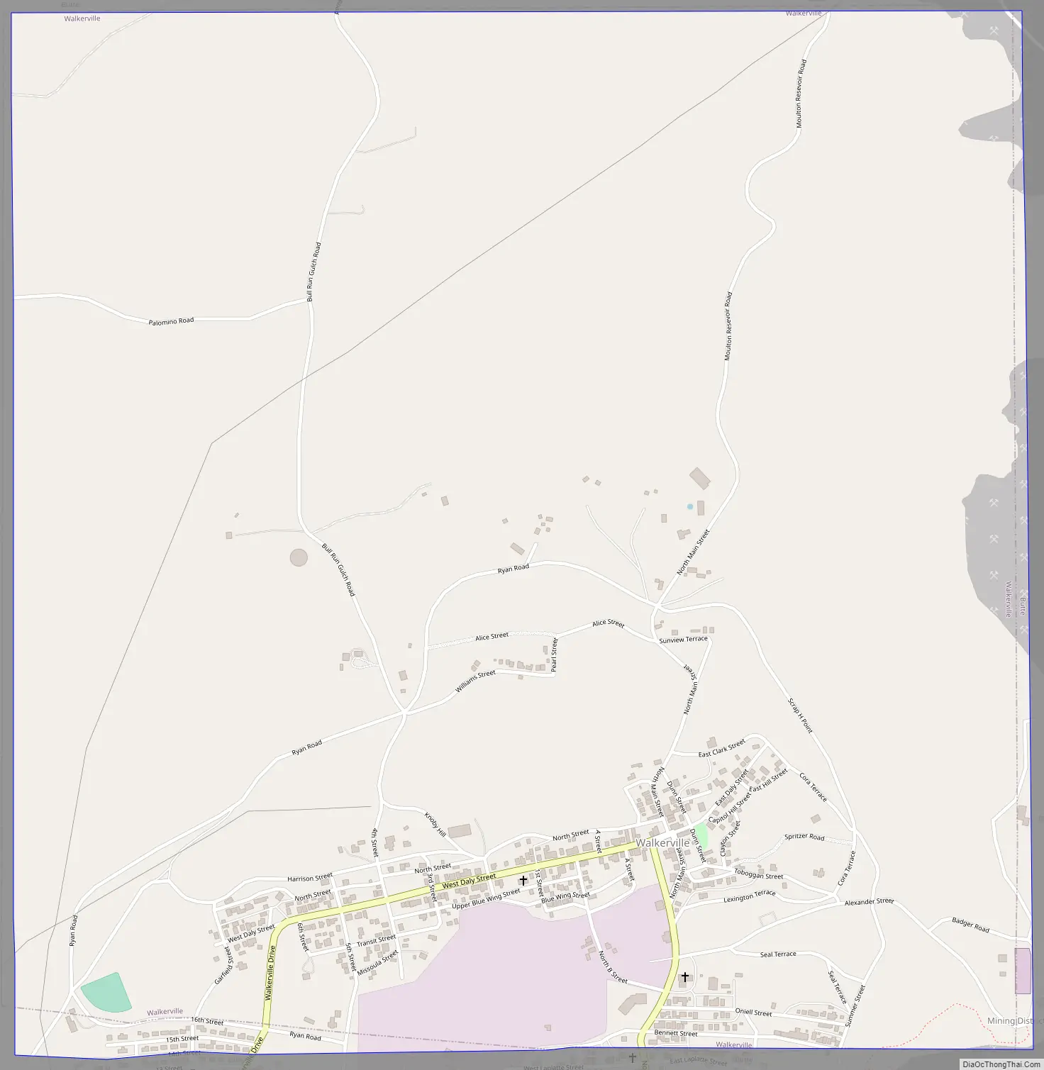
Walkerville Road Map
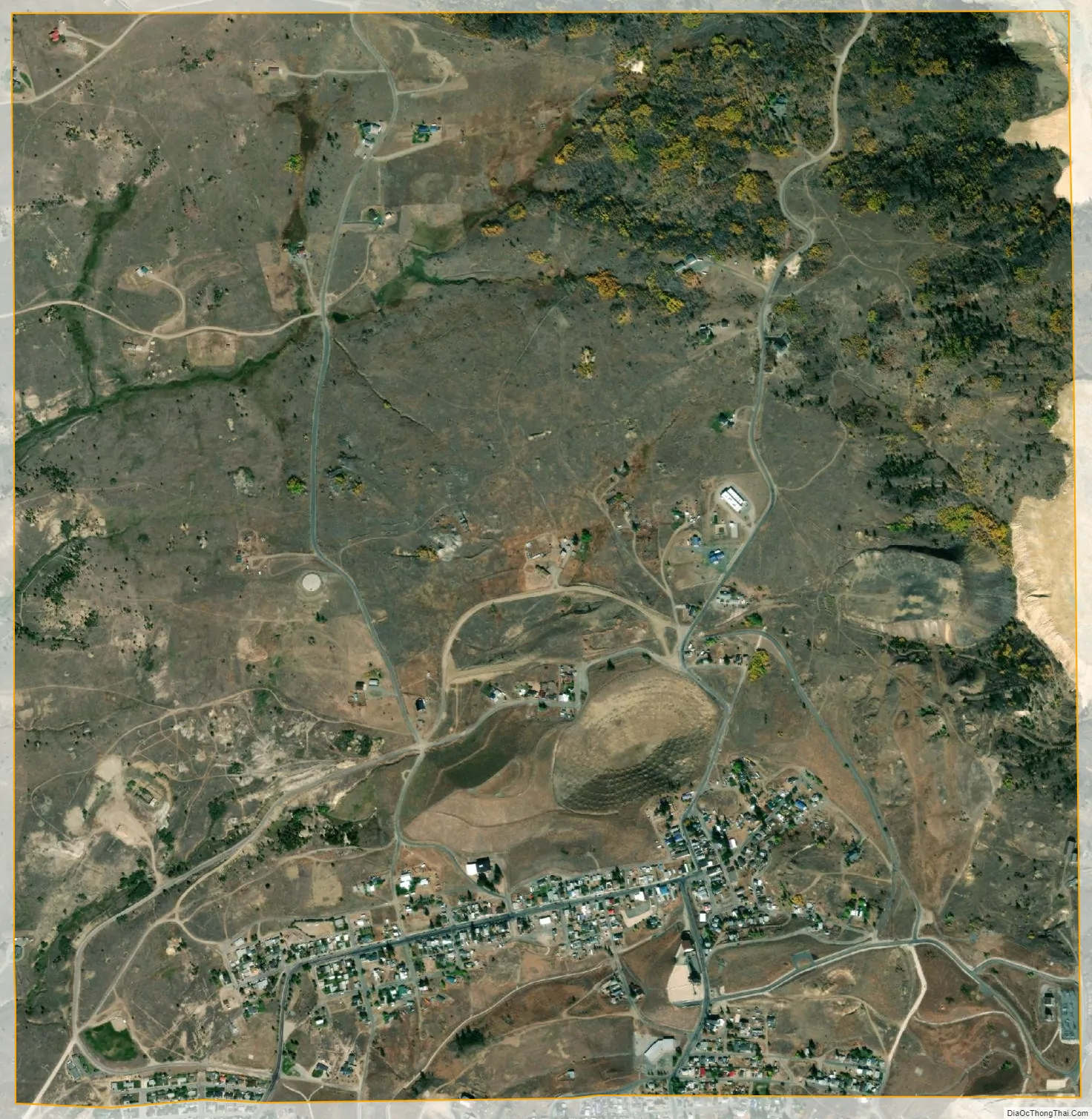
Walkerville city Satellite Map
Geography
Walkerville is located at 46°1′48″N 112°32′18″W / 46.03000°N 112.53833°W / 46.03000; -112.53833 (46.029963, -112.538348).
According to the United States Census Bureau, the town has a total area of 2.23 square miles (5.78 km), all land.
Neighborhoods
- Corktown
- Sun View Terrace
- Seldom Seen
- Dewey’s Point
- Chicken Flat
- Butchertown
- the Corra
Butchertown was named for Rollo Butcher, Walkerville’s first permanent resident.
See also
Map of Montana State and its subdivision:- Beaverhead
- Big Horn
- Blaine
- Broadwater
- Carbon
- Carter
- Cascade
- Chouteau
- Custer
- Daniels
- Dawson
- Deer Lodge
- Fallon
- Fergus
- Flathead
- Gallatin
- Garfield
- Glacier
- Golden Valley
- Granite
- Hill
- Jefferson
- Judith Basin
- Lake
- Lewis and Clark
- Liberty
- Lincoln
- Madison
- McCone
- Meagher
- Mineral
- Missoula
- Musselshell
- Park
- Petroleum
- Phillips
- Pondera
- Powder River
- Powell
- Prairie
- Ravalli
- Richland
- Roosevelt
- Rosebud
- Sanders
- Sheridan
- Silver Bow
- Stillwater
- Sweet Grass
- Teton
- Toole
- Treasure
- Valley
- Wheatland
- Wibaux
- Yellowstone
- Alabama
- Alaska
- Arizona
- Arkansas
- California
- Colorado
- Connecticut
- Delaware
- District of Columbia
- Florida
- Georgia
- Hawaii
- Idaho
- Illinois
- Indiana
- Iowa
- Kansas
- Kentucky
- Louisiana
- Maine
- Maryland
- Massachusetts
- Michigan
- Minnesota
- Mississippi
- Missouri
- Montana
- Nebraska
- Nevada
- New Hampshire
- New Jersey
- New Mexico
- New York
- North Carolina
- North Dakota
- Ohio
- Oklahoma
- Oregon
- Pennsylvania
- Rhode Island
- South Carolina
- South Dakota
- Tennessee
- Texas
- Utah
- Vermont
- Virginia
- Washington
- West Virginia
- Wisconsin
- Wyoming