Summit County is an urban county in the U.S. state of Ohio. As of the 2020 census, the population was 540,428, making it the fourth-most populous county in Ohio. Its county seat and largest city is Akron. The county was formed on March 3, 1840, from portions of Medina, Portage and Stark Counties. It was named Summit County because the highest elevation on the Ohio and Erie Canal is located in the county.
Summit County is part of the Akron, OH Metropolitan Statistical Area, which is also included in the Cleveland-Akron-Canton, OH Combined Statistical Area.
| Name: | Summit County |
|---|---|
| FIPS code: | 39-153 |
| State: | Ohio |
| Founded: | March 3, 1840 |
| Named for: | the highest elevation on the Ohio and Erie Canal |
| Seat: | Akron |
| Largest city: | Akron |
| Total Area: | 419.38 sq mi (1,086.2 km²) |
| Land Area: | 412.08 sq mi (1,067.3 km²) |
| Total Population: | 540,428 |
| Population Density: | 1,300/sq mi (500/km²) |
| Time zone: | UTC−5 (Eastern) |
| Summer Time Zone (DST): | UTC−4 (EDT) |
| Website: | co.summitoh.net |
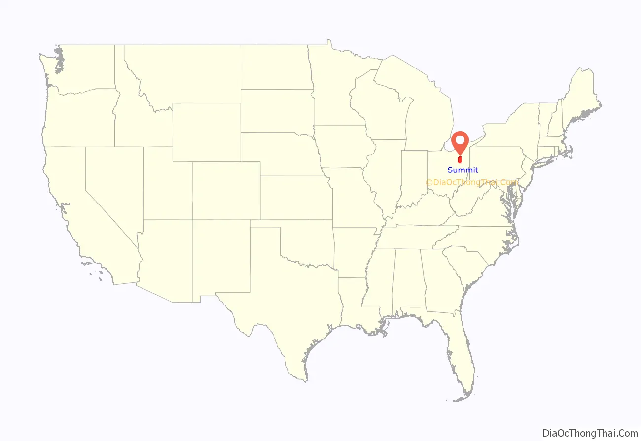
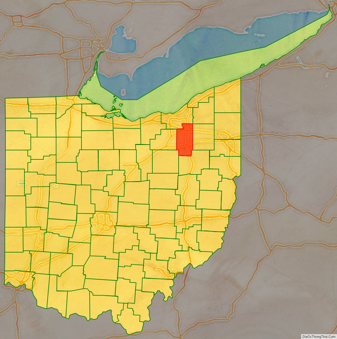
Summit County location map. Where is Summit County?
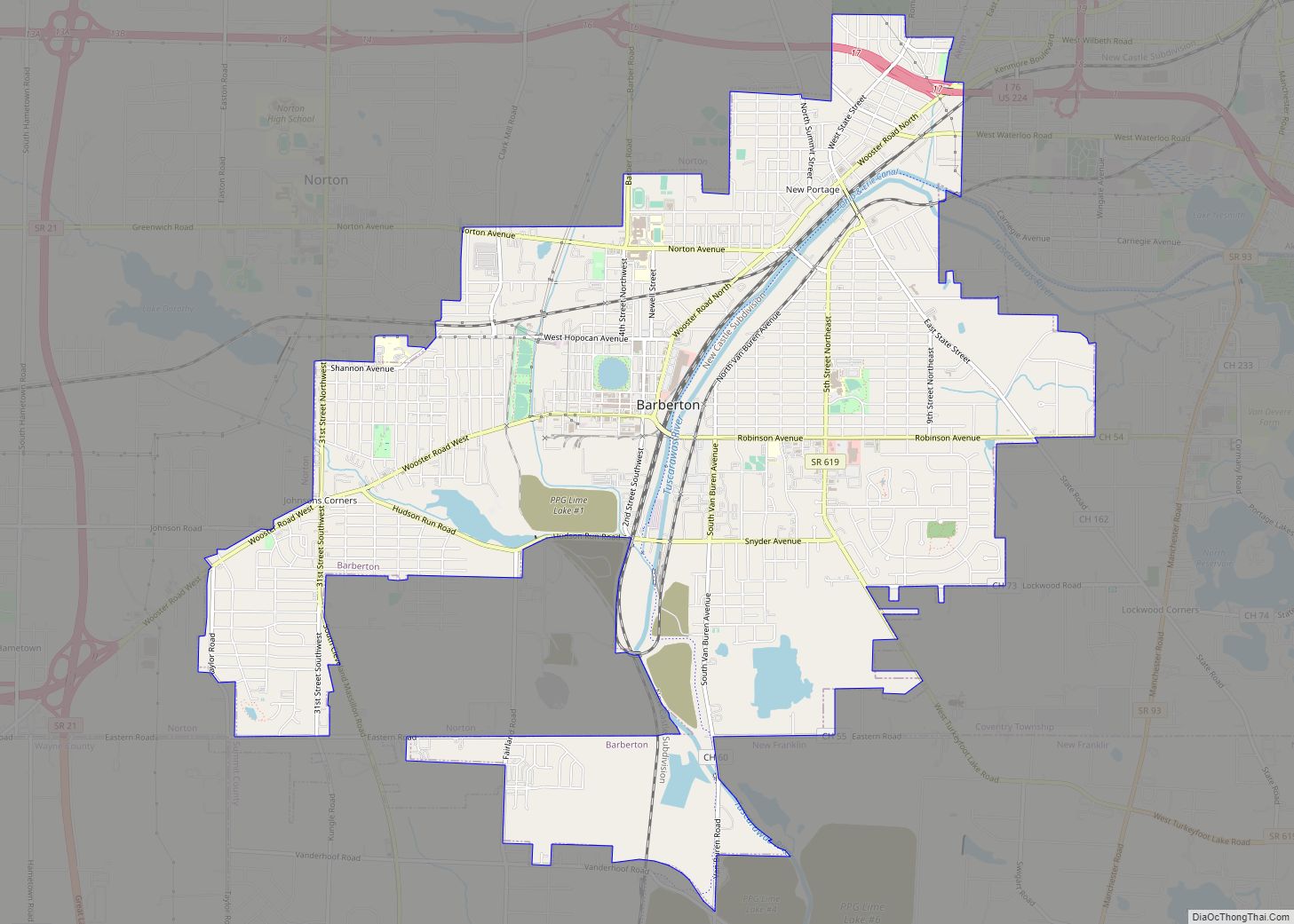
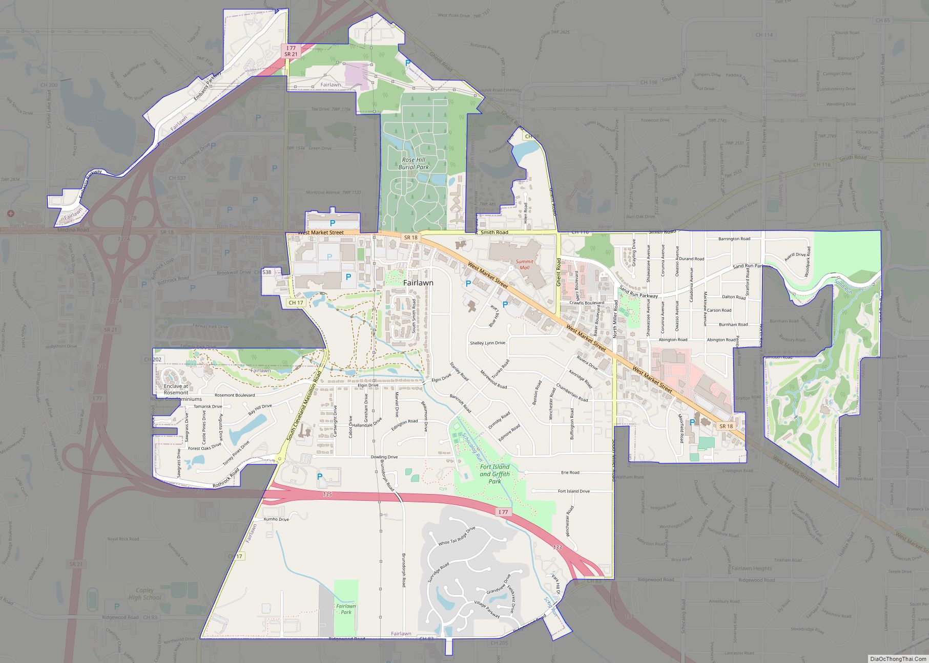
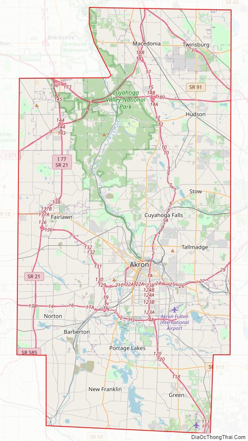
Summit County Road Map
Geography
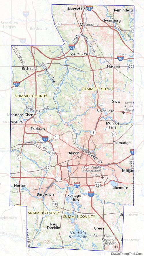
According to the United States Census Bureau, the county has a total area of 419.38 square miles (1,086 km), of which 412.08 square miles (1,067 km) is land and 7.3 square miles (19 km) (1.7%) is water. The largest portion of Cuyahoga Valley National Park is located in the northern part of the county. The southern border of the former Connecticut Western Reserve passes through the southern part of the county, leading to jogs in the east and west borders of the county.
Major highways
- I-76
- I-77
- I-80 / Ohio Turnpike
- I-271
- I-277
- I-480
- US 224
- SR 8
- SR 18
- SR 21
- SR 59
- SR 82
- SR 91
- SR 93
- SR 162
- SR 176
- SR 236
- SR 241
- SR 261
- SR 303
- SR 585
- SR 619
- SR 764
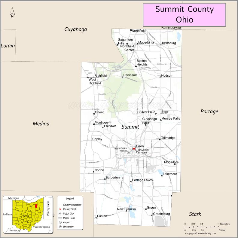
Adjacent counties
- Cuyahoga County – northwest
- Geauga County – northeast
- Portage County – east
- Stark County – south
- Wayne County – southwest
- Medina County – west
National protected area
- Cuyahoga Valley National Park (also extends north into Cuyahoga County)
Summit County Topographic Map
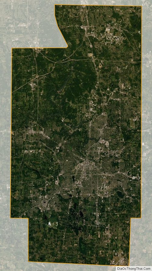
Summit County Satellite Map
Summit County Outline Map