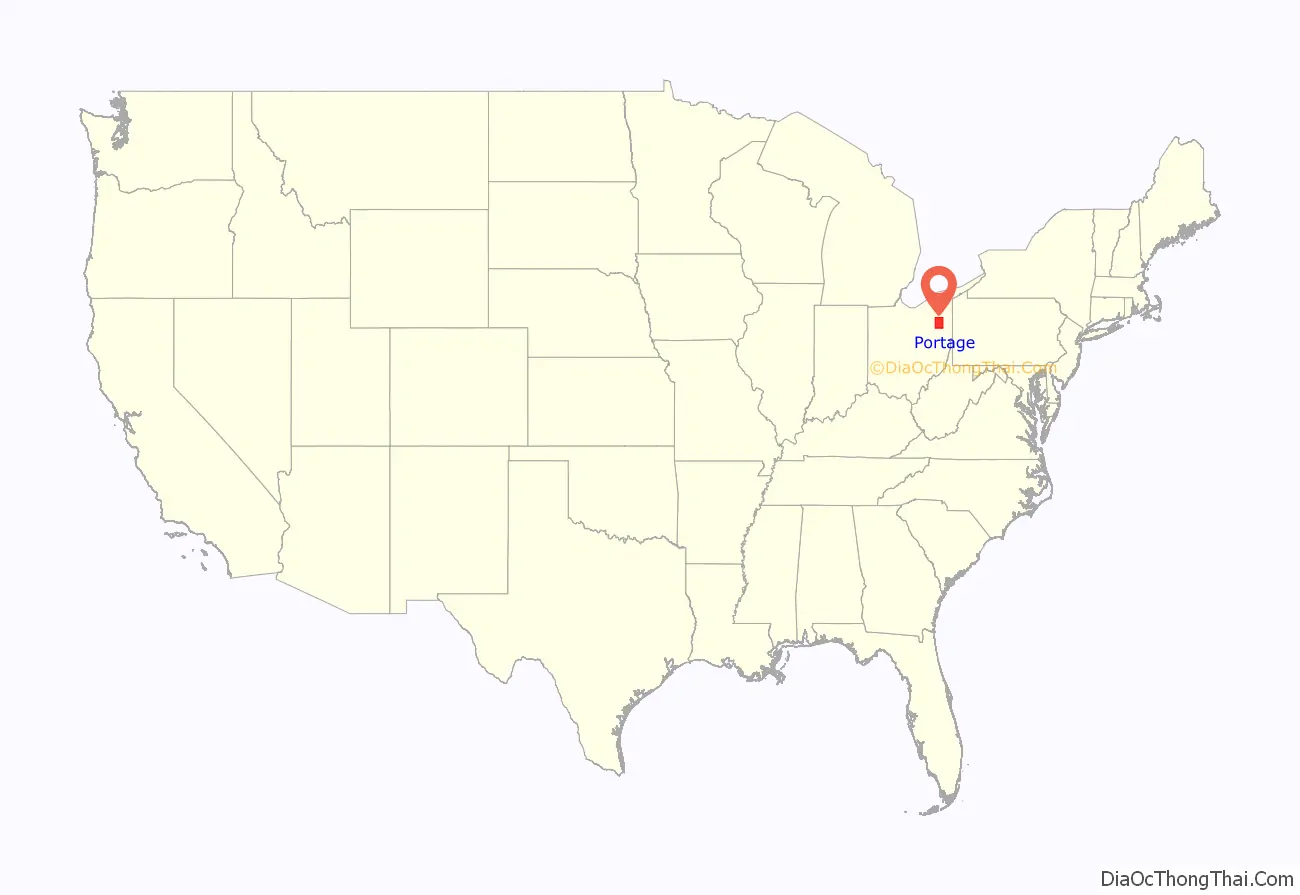
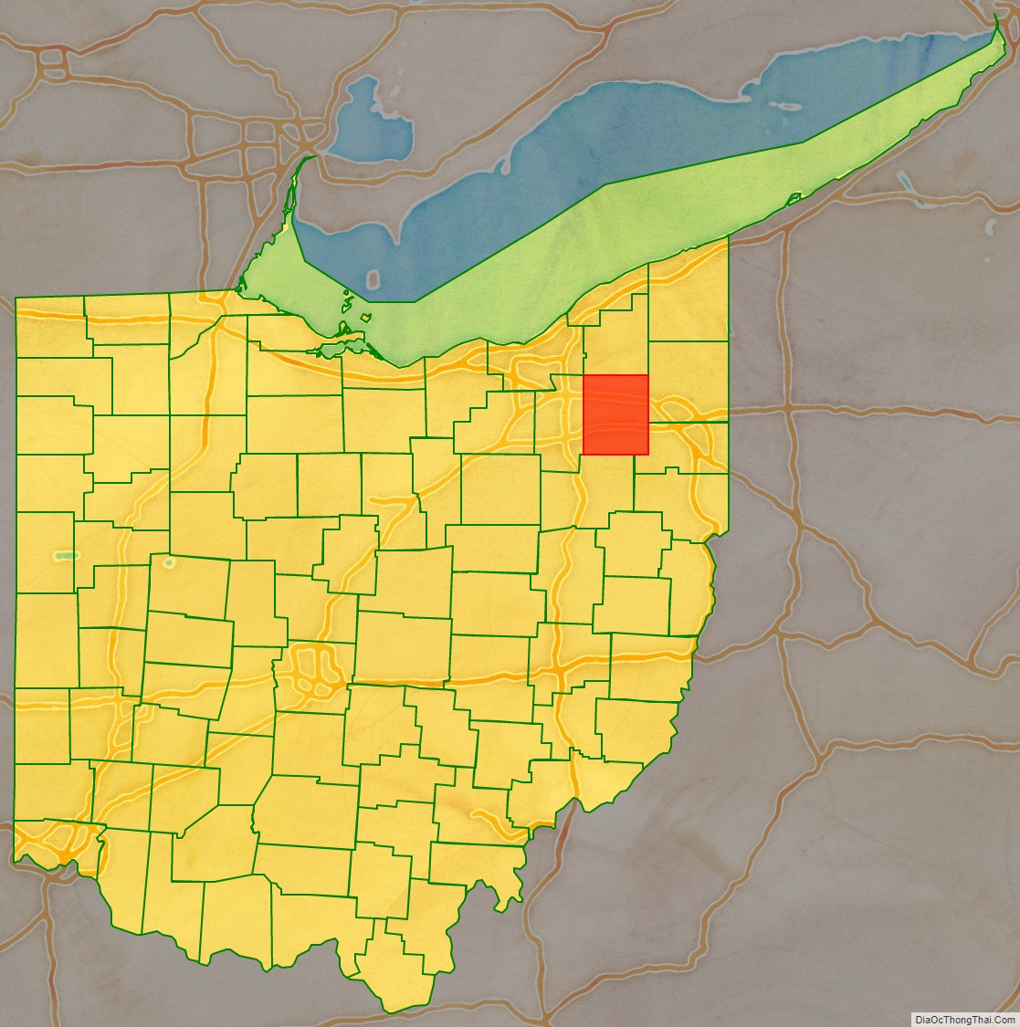
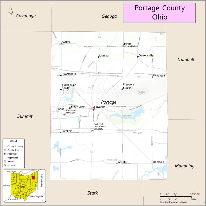
Portage County is a county in the U.S. state of Ohio. As of the 2020 census, the population was 161,791. Located in Northeast Ohio, Portage County is part of the Akron Metropolitan Statistical Area, which is also included in the Cleveland–Akron–Canton Combined Statistical Area. Its county seat is Ravenna and its largest city is Kent.
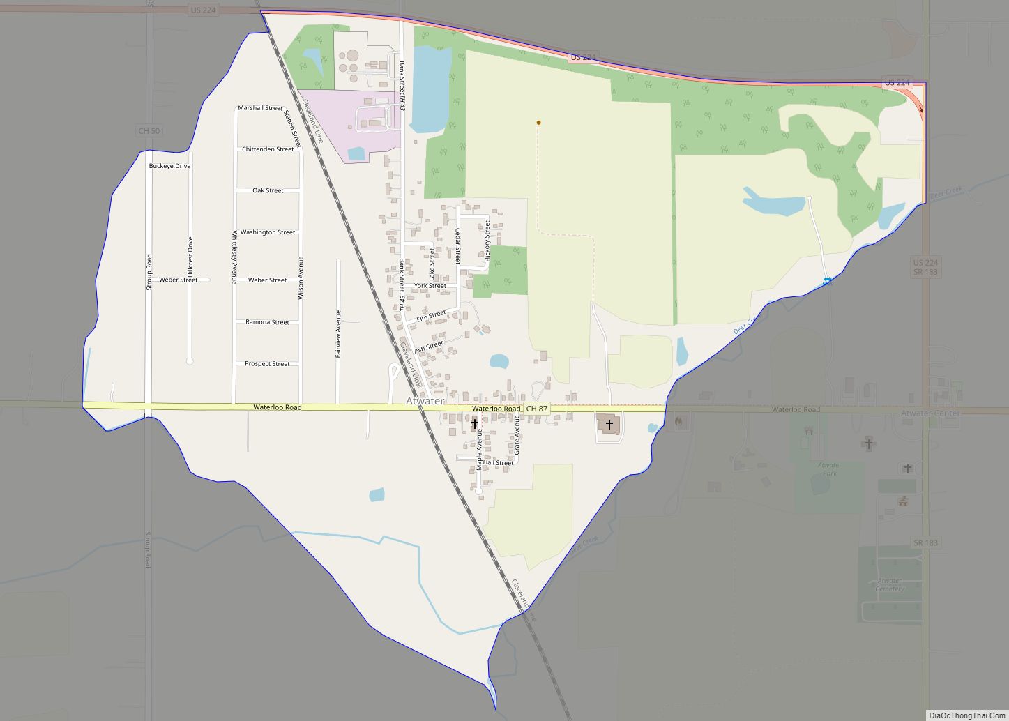
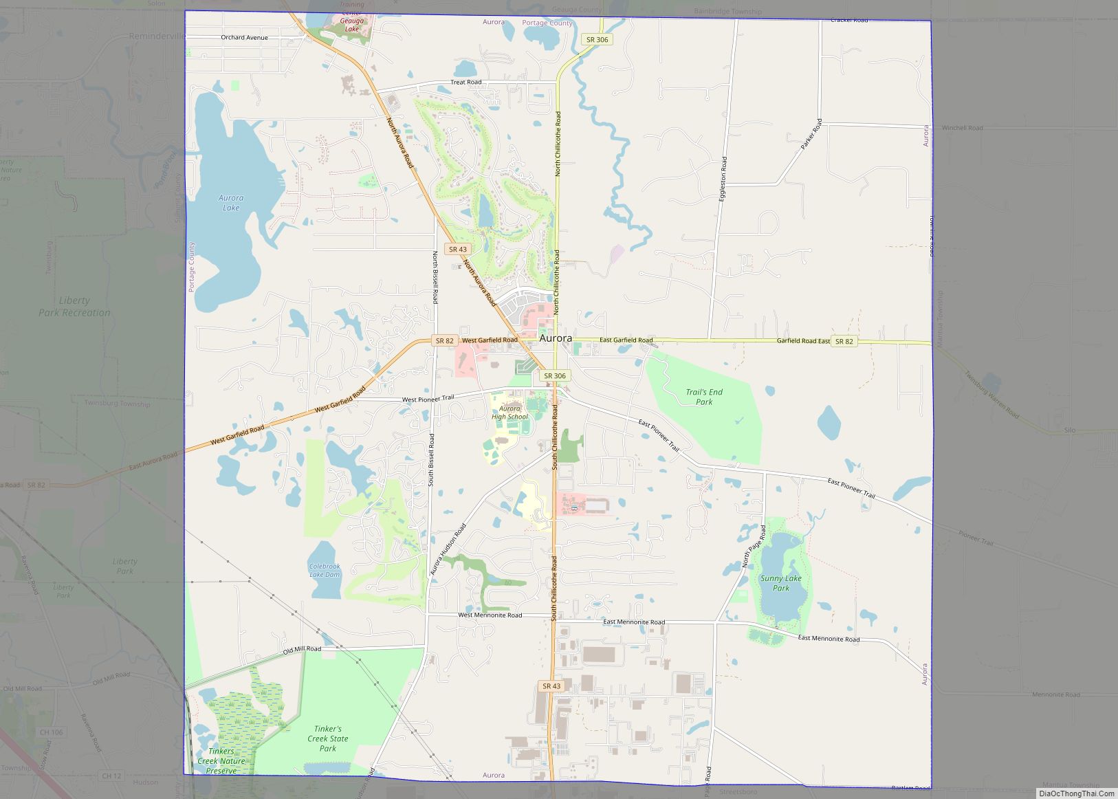
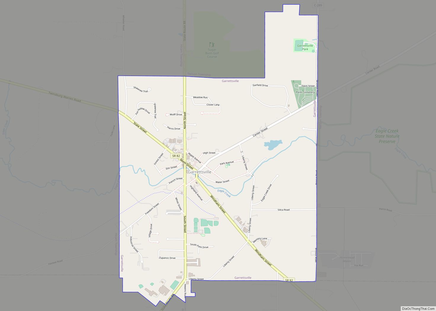
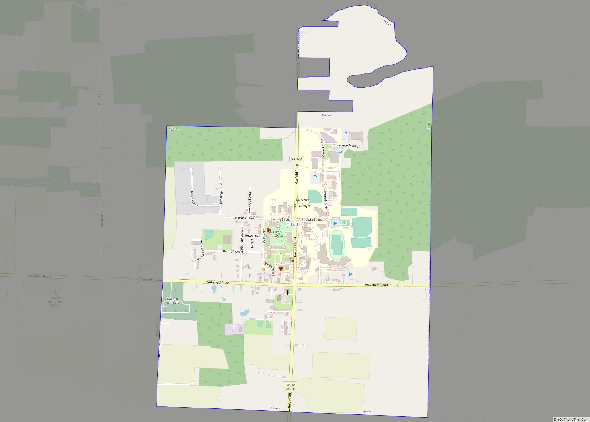
The county, named for the portage between the Cuyahoga and Tuscarawas Rivers, was created in 1807 and formally organized in 1808. In addition to the cities of Kent and Ravenna, Portage County also includes the cities of Aurora and Streetsboro, along with five villages, 18 civil townships, and several unincorporated places within those townships. Additionally, the county includes parts of the city of Tallmadge, and part of the village of Mogadore, both of which are mostly in neighboring Summit County.
| Name: | Portage County |
|---|---|
| FIPS code: | 39-133 |
| State: | Ohio |
| Founded: | June 7, 1808 |
| Named for: | the portage between the Cuyahoga and Tuscarawas Rivers |
| Seat: | Ravenna |
| Largest city: | Kent |
| Total Area: | 504 sq mi (1,310 km²) |
| Land Area: | 487 sq mi (1,260 km²) |
| Total Population: | 161,791 |
| Population Density: | 320/sq mi (120/km²) |
| Time zone: | UTC−5 (Eastern) |
| Summer Time Zone (DST): | UTC−4 (EDT) |
| Website: | www.co.portage.oh.us |
Portage County location map. Where is Portage County?
History
The name “Portage” comes from an old Indian path called “Portage Path”, which ran between the Cuyahoga and Tuscarawas rivers, where travelers portaged their canoes. The location of the trail today is within the boundaries of neighboring Summit County.
After the discovery of the New World, the land that became Portage County was originally part of the French colony of Canada (New France), which was ceded in 1763 to Great Britain and renamed the Province of Quebec. In the late 18th century the land became part of the Connecticut Western Reserve in the Northwest Territory, then was purchased by the Connecticut Land Company in 1795.
The first European settler in what is now Portage County was Abraham Honey in 1798 in the area now known as Mantua Township, followed by Asa Hall in what is now Atwater Township in April 1799. In June 1799, Benjamin Tappan, Jr. arrived and founded Ravenna, David Daniels came to what is now Palmyra Township, and Ebenezer Sheldon settled in what is now Aurora. A family group of Huguenot refugees also eventually migrated to Portage County by 1804.
When first settled, the area that presently constitutes Portage County was part of the original Jefferson County, which had been organized in 1797. In 1800, the area was made part of Trumbull County, which followed the boundaries of the Connecticut Western Reserve. In 1802, all of what is now Portage County was organized under the name of Franklin Township with other townships being formed later. On February 10, 1807 the Ohio state legislature passed the act to create Portage County from Trumbull County and it took effect June 7, 1807. Portage County remained attached to Trumbull County until June 8, 1808, when the first elections were held. Initially, the county included a large area of the Western Reserve that encompassed most of present-day Summit County, all of Medina and Huron counties, and parts of Lorain and Ashland counties. There were six organized townships in 1808: Franklin, Deerfield, Aurora, Hiram, Springfield, and Hudson with new townships organized later, reaching a maximum of 30. The present-day boundaries of Portage County were established in 1840 following the 1812 creation of Medina County, a slight boundary adjustment in 1827 with Cuyahoga County, and finally the creation of Summit County in 1840, which took 10 townships from Portage County along with 3 townships from Medina County and two from Stark County.
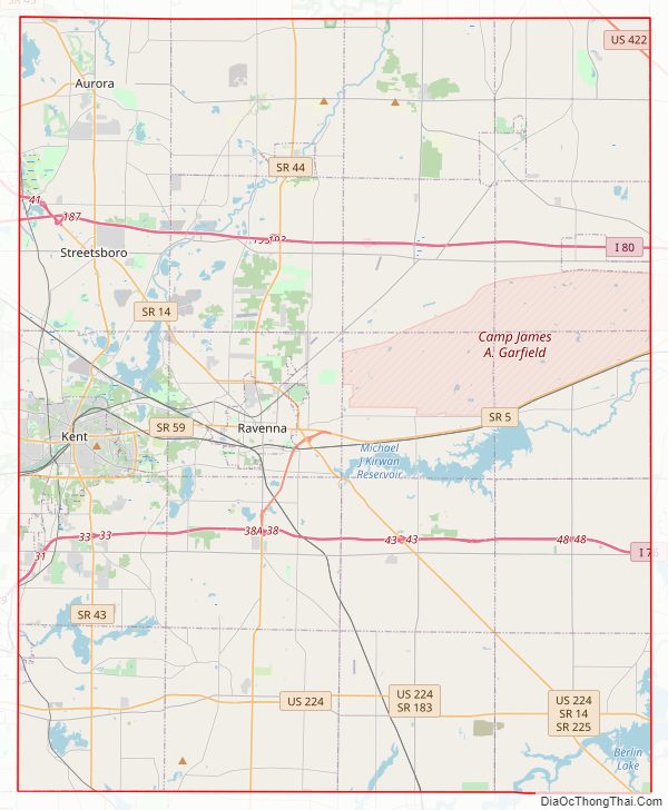
Portage County Road Map
Geography
According to the U.S. Census Bureau, the county has a total area of 504 square miles (1,310 km), of which 487 square miles (1,260 km) is land and 17 square miles (44 km) (3.3%) is water.
West Branch State Park is a very large state park in central Portage County, consisting of a large green surrounding the Michael J. Kirwan Dam and Reservoir. There are a number of smaller state and local parks.
Adjacent counties
- Geauga County (north)
- Trumbull County (east)
- Mahoning County (southeast)
- Stark County (south)
- Summit County (west)
- Cuyahoga County (northwest)
Major highways
- I-76
- I-80 / Ohio Turnpike
- I-480
- US 224
- US 422
- SR 5
- SR 14
- SR 43
- SR 44
- SR 59
- SR 82
- SR 87
- SR 88
- SR 183
- SR 225
- SR 261
- SR 282
- SR 303
- SR 305
- SR 700
Portage County Topographic Map
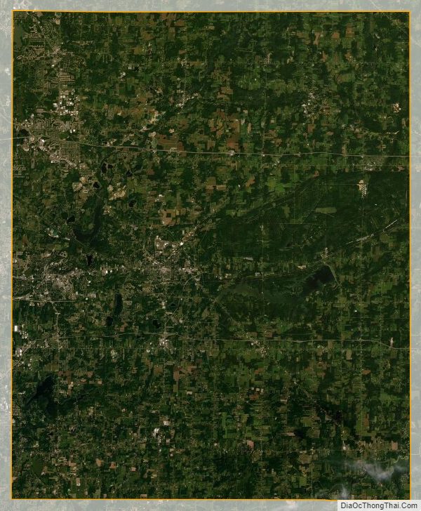
Portage County Satellite Map
Portage County Outline Map