Taylor County is a county located in the U.S. state of Kentucky. As of the 2020 census, the population was 26,023. Its county seat is Campbellsville. Settled by people from Virginia, Pennsylvania, Maryland, and North Carolina after the American Revolutionary War, the county was organized in 1848 in the Highland Rim region. It is named for United States Army General Zachary Taylor, later President of the United States. Taylor County was the 100th of the 120 counties created by Kentucky. The Campbellsville Micropolitan Statistical Area includes all of Taylor County.
| Name: | Taylor County |
|---|---|
| FIPS code: | 21-217 |
| State: | Kentucky |
| Founded: | 1848 |
| Seat: | Campbellsville |
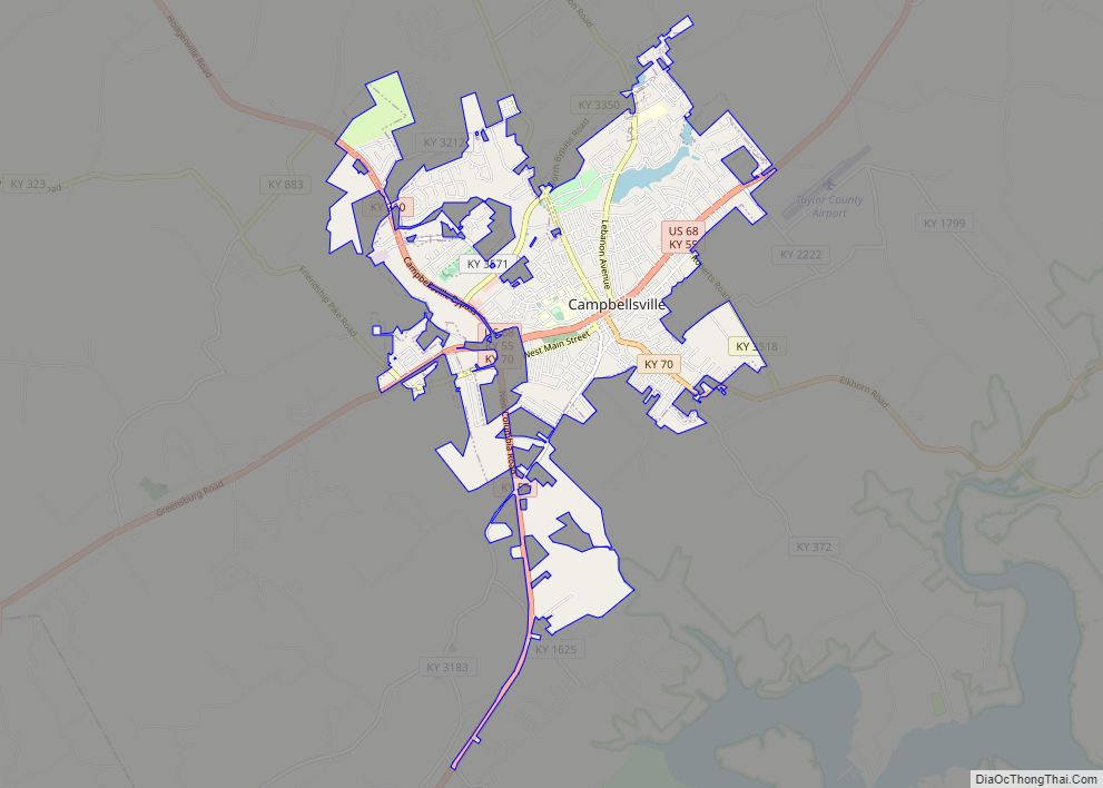
| Largest city: | Campbellsville |
| Total Area: | 277 sq mi (720 km²) |
| Land Area: | 266 sq mi (690 km²) |
| Total Population: | 26,023 |
| Population Density: | 94/sq mi (36/km²) |
| Time zone: | UTC−5 (Eastern) |
| Summer Time Zone (DST): | UTC−4 (EDT) |
| Website: | www.taylorcounty.us |
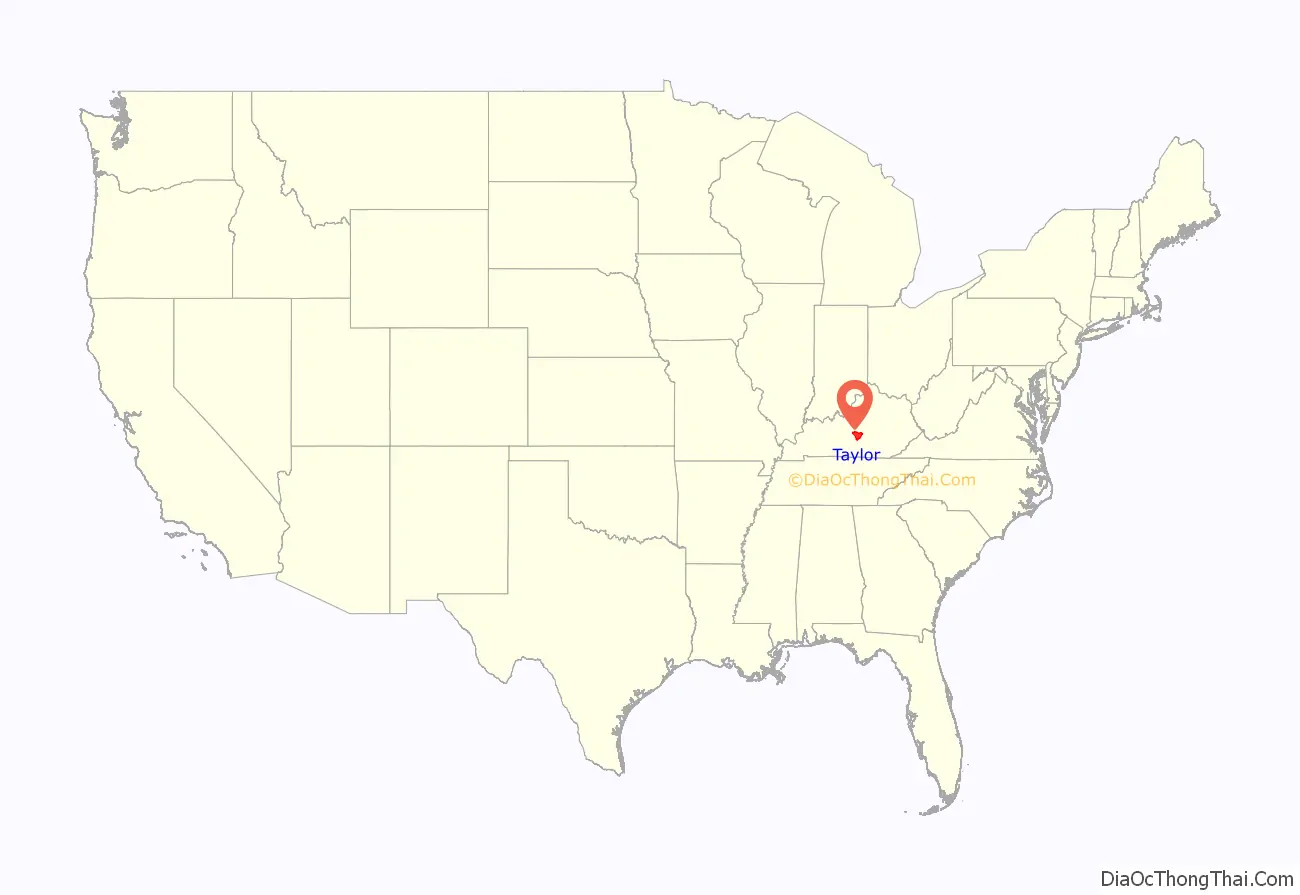
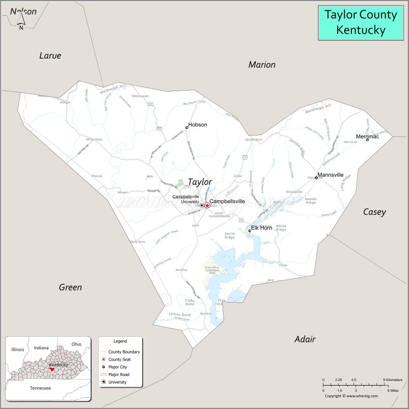
Taylor County location map. Where is Taylor County?
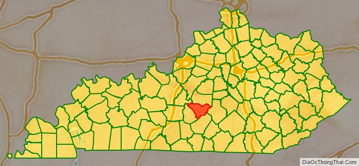
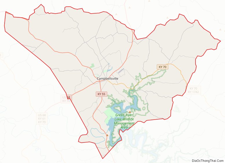
Taylor County Road Map
Geography
According to the United States Census Bureau, the county has a total area of 277 square miles (720 km), of which 266 square miles (690 km) is land and 10 square miles (26 km) (3.8%) is water.
Adjacent counties
- Marion County (north)
- Casey County (east)
- Adair County (southeast/CST Border)
- Green County (south & west/CST Border)
- LaRue County (northwest)
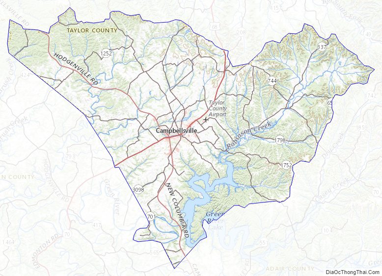
Taylor County Topographic Map
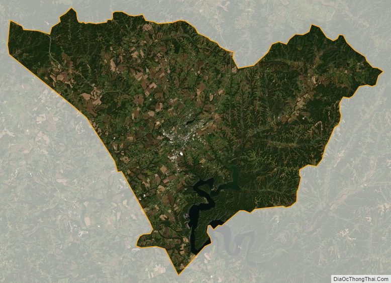
Taylor County Satellite Map
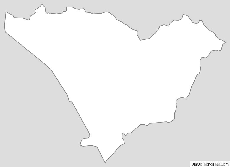
Taylor County Outline Map