| Name: | Taylor County |
|---|---|
| FIPS code: | 48-441 |
| State: | Texas |
| Founded: | 1878 |
| Named for: | Edward, George, and James Taylor |
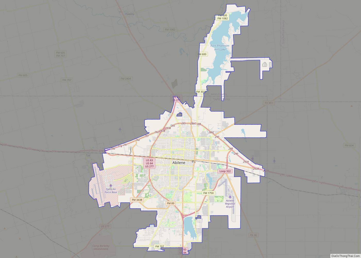
| Seat: | Abilene |
| Largest city: | Abilene |
| Total Area: | 919.3 sq mi (2,381 km²) |
| Land Area: | 915.6 sq mi (2,371 km²) |
| Total Population: | 143,208 |
| Population Density: | 160/sq mi (60/km²) |
| Time zone: | UTC−6 (Central) |
| Summer Time Zone (DST): | UTC−5 (CDT) |
| Website: | www.taylorcountytexas.org |
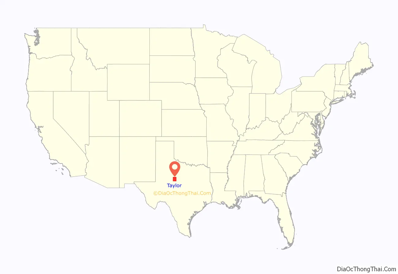
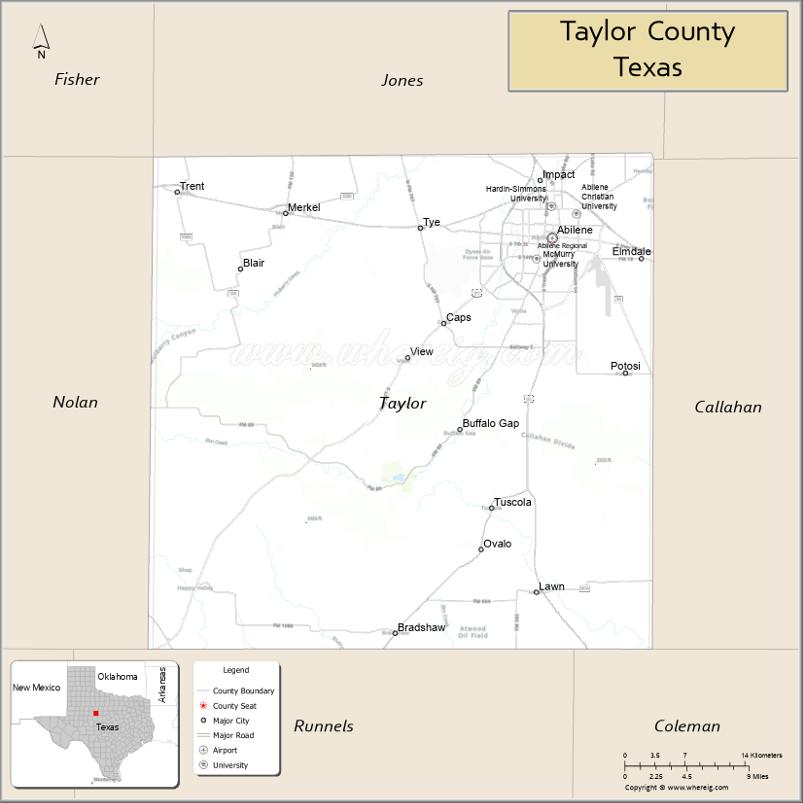
Taylor County location map. Where is Taylor County?
History
Among first inhabitants of the area were the Penteka. In 1849, Capt. Randolph Marcy, a U. S. Army engineer, passed through, scouting out West Texas-to-California routes. The Texas legislature established Taylor County in 1858 from Bexar and Travis Counties. The county is named for Alamo defenders Edward, James, and George Taylor. The Butterfield Overland Mail established the Mountain Pass Station at Merkel; it was in continual use until 1861.
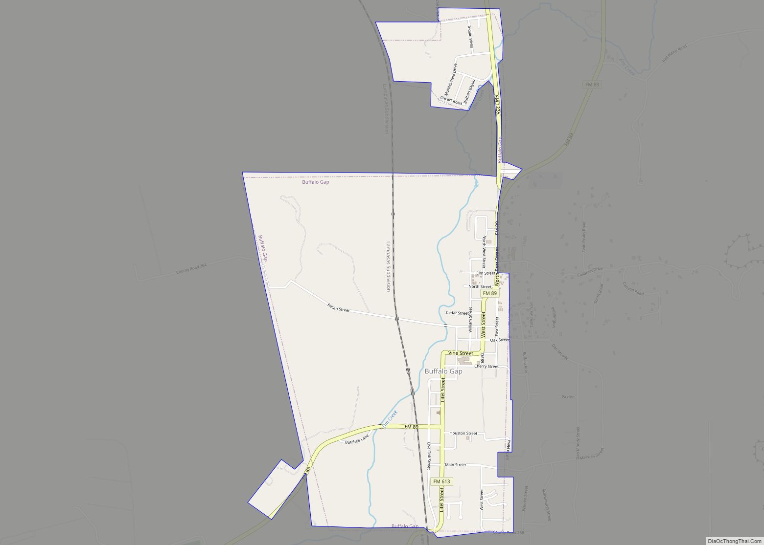
By 1872, the first cattlemen had ventured into present Taylor County. Six years later, Taylor County was organized. Buffalo Gap was named county seat. In 1880, the Texas & Pacific Railroad signed an agreement to run tracks through the future city of Abilene. Abilene was established in 1882, and named after Abilene, Kansas. Abilene became the county seat in 1883. A wagon train of 10 Baptist families arrived in the county that year.
The Abilene Board of Trade was organized in 1890, when 587 farms and ranches were in the county. The next year, Hardin-Simmons University was established as Abilene Baptist College by the Sweetwater Baptist Association. Lytle Lake was created in 1897.
The State Epileptic Colony opened in Abilene in 1904. In 1906, Abilene Christian University opened its doors as Childers Classical Institute. In the 1920s, Hendricks Medical Center opened in Abilene as West Texas Baptist Sanitarium (1924) and the West Texas Historical Association was chartered in Abilene. The first senior class of McMurry University graduated (1926). Oil was discovered in the county a few years later (1929).
In 1933, Abilene donated land for use by the Civilian Conservation Corps.
Dyess Air Force Base was established as Abilene AFB in 1942; it is named in honor of Texas native and Bataan Death March survivor Lieutenant Colonel William Dyess. The Abilene Philharmonic Orchestra was created, with Jay Dietzer as the first conductor, in 1950. The Buffalo Gap Historic Village opened in 1956.
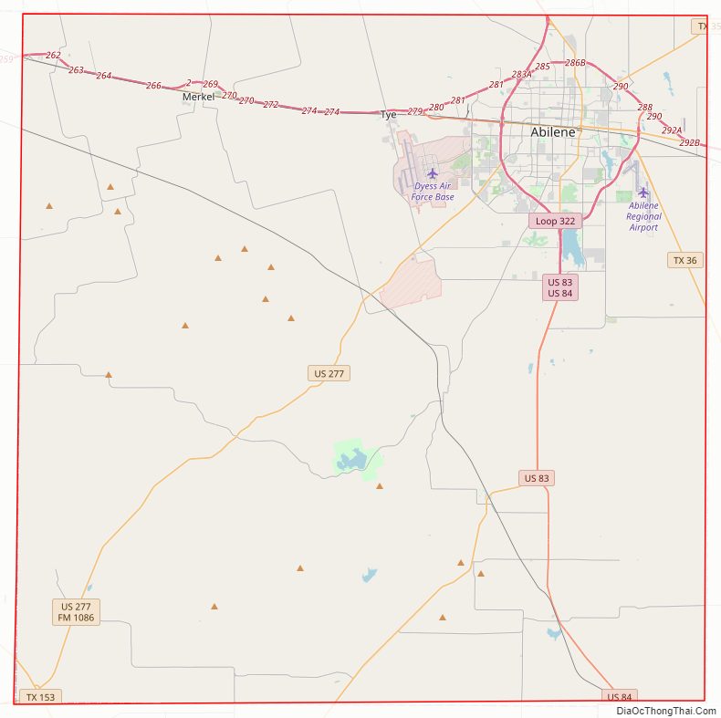
Taylor County Road Map
Geography
According to the U.S. Census Bureau, the county has a total area of 919 sq mi (2,380 km), of which 916 sq mi (2,370 km) are land and 3.8 sq mi (9.8 km) (0.4%) are covered by water.
Major highways
- Interstate 20
- Interstate 20 Business
- U.S. Highway 83
- U.S. Highway 84
- U.S. Highway 277
- State Highway 36
- State Highway 153
- State Highway 351
- Loop 322
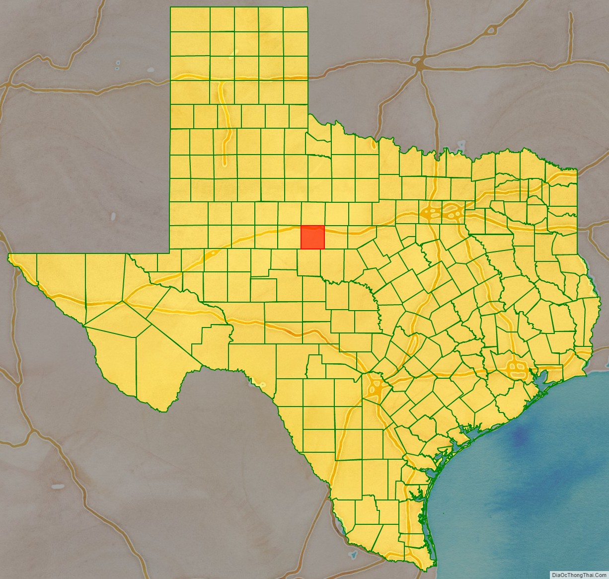
Adjacent counties
- Jones County (north)
- Shackelford County (northeast)
- Callahan County (east)
- Coleman County (southeast)
- Runnels County (south)
- Nolan County (west)
- Fisher County (northwest)
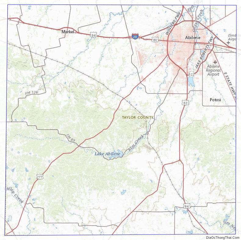
Taylor County Topographic Map
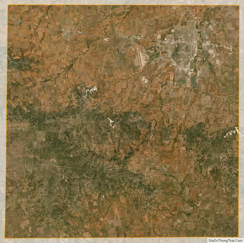
Taylor County Satellite Map
Taylor County Outline Map