| Name: | Union Parish |
|---|---|
| FIPS code: | 22-111 |
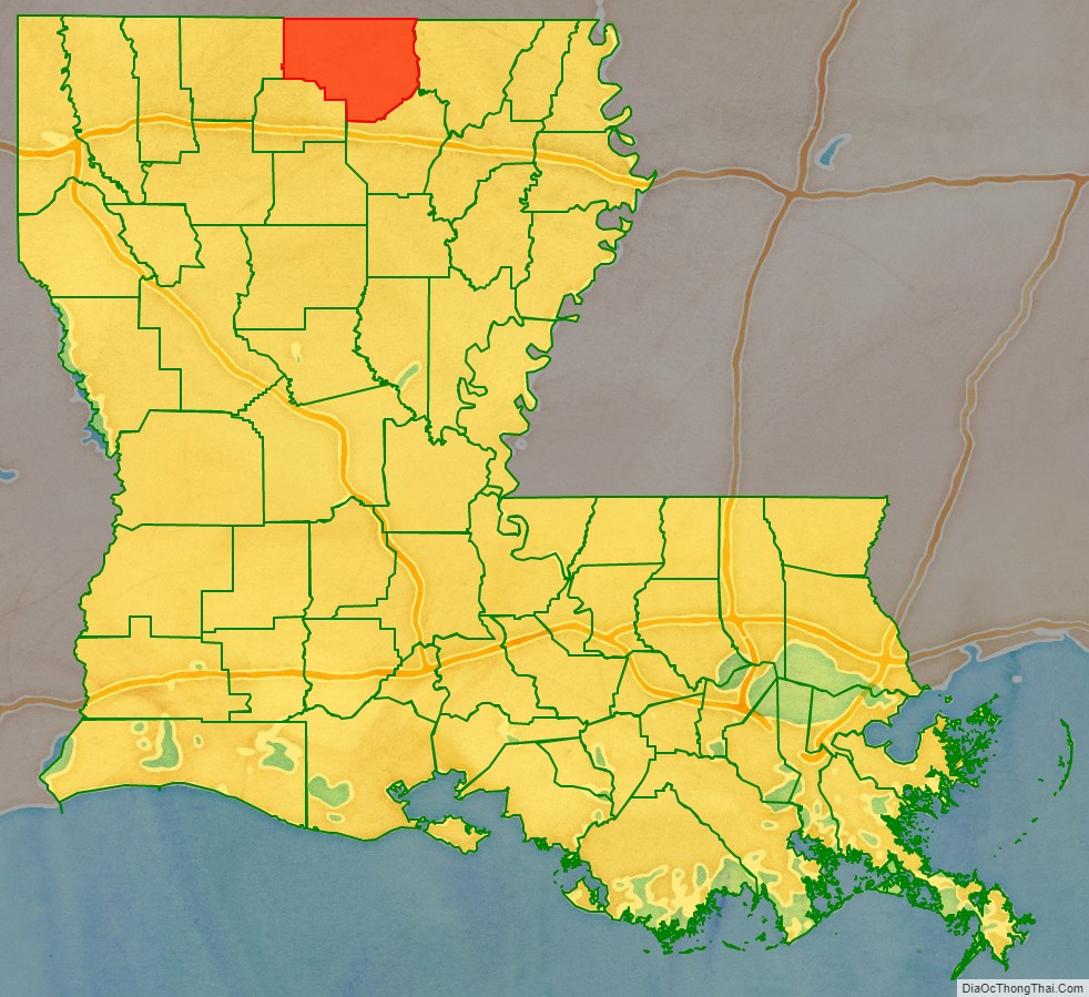
| State: | Louisiana |
| Founded: | March 13, 1839 |
| Named for: | Union of American states |
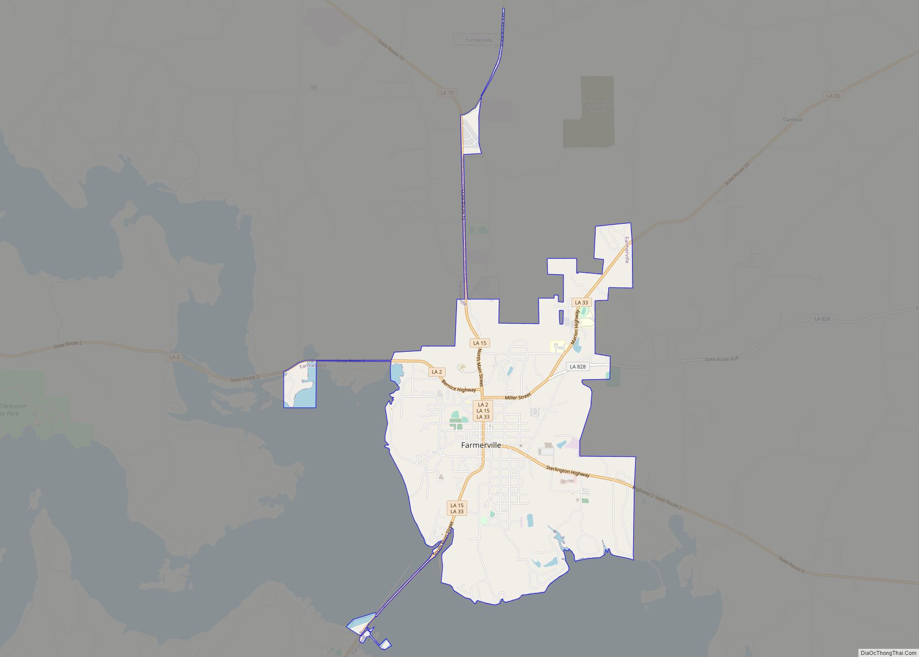
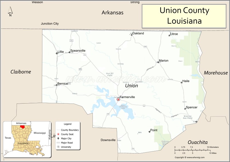
| Seat: | Farmerville |
| Total Area: | 2,340 km² (905 sq mi) |
| Land Area: | 2,270 km² (877 sq mi) |
| Total Population: | 21,107 |
| Population Density: | 9.0/km² (23/sq mi) |
| Time zone: | UTC-6 (CST) |
| Summer Time Zone (DST): | UTC-5 (CDT) |
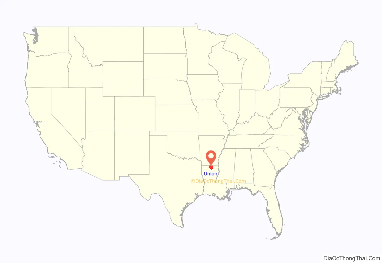
Union Parish location map. Where is Union Parish?
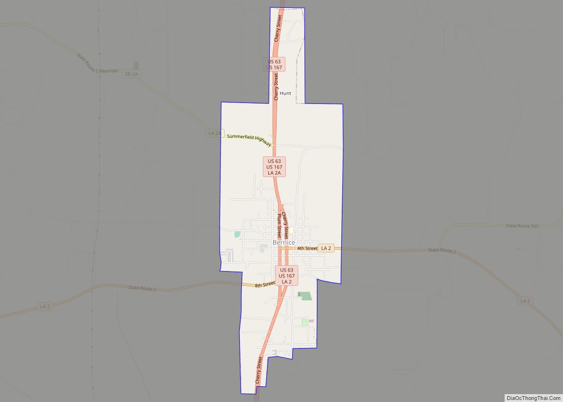
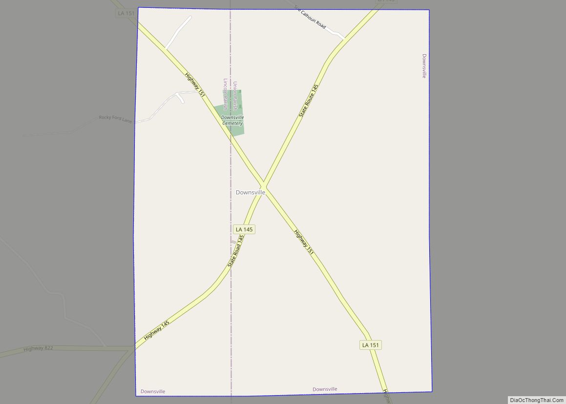
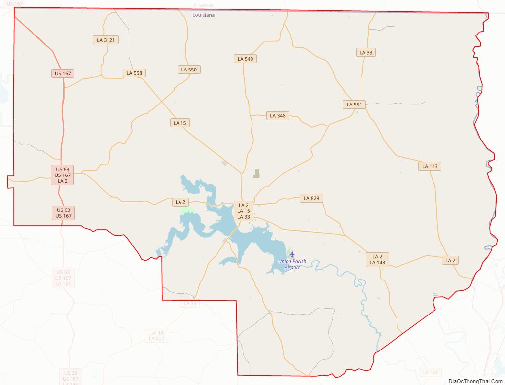
Union Parish Road Map
Geography
According to the U.S. Census Bureau, the parish has a total area of 905 square miles (2,340 km), of which 877 square miles (2,270 km) is land and 28 square miles (73 km) (3.1%) is water.
Geographically north central Louisiana, Union Parish more closely resembles Lincoln Parish, to which Union is deeply tied culturally, politically, and educationally. Union Parish, along with Lincoln Parish to the southwest and Union County, Arkansas to the north, form the eastern boundary of the Ark-La-Tex region.
Major highways
- U.S. Highway 63
- U.S. Highway 167
- Louisiana Highway 2
- Louisiana Highway 15
- Louisiana Highway 33
Adjacent parishes and counties
- Union County, Arkansas (northwest)
- Ashley County, Arkansas (northeast)
- Morehouse Parish (east)
- Ouachita Parish (southeast)
- Lincoln Parish (southwest)
- Claiborne Parish (west)
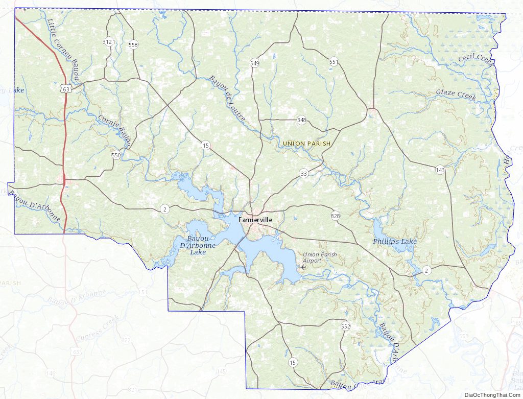
National protected areas
- D’Arbonne National Wildlife Refuge (part)
- Upper Ouachita National Wildlife Refuge (part)
Union Parish Topographic Map
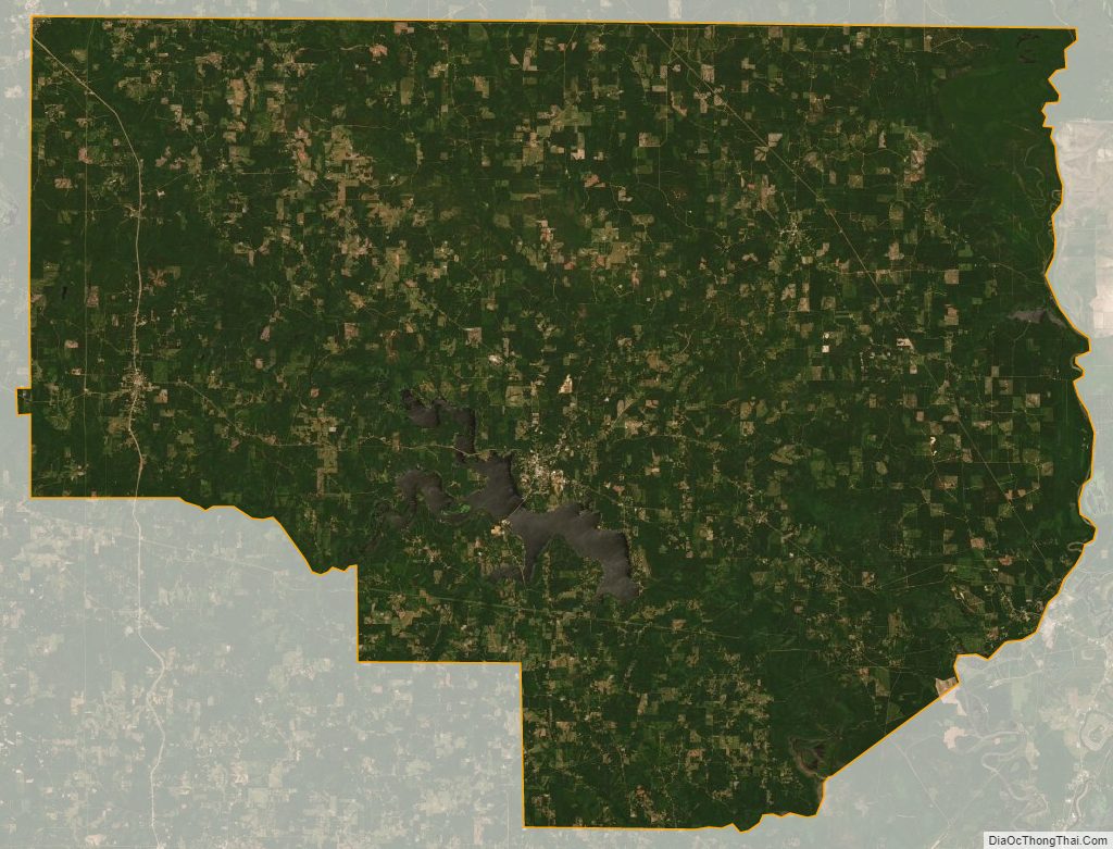
Union Parish Satellite Map
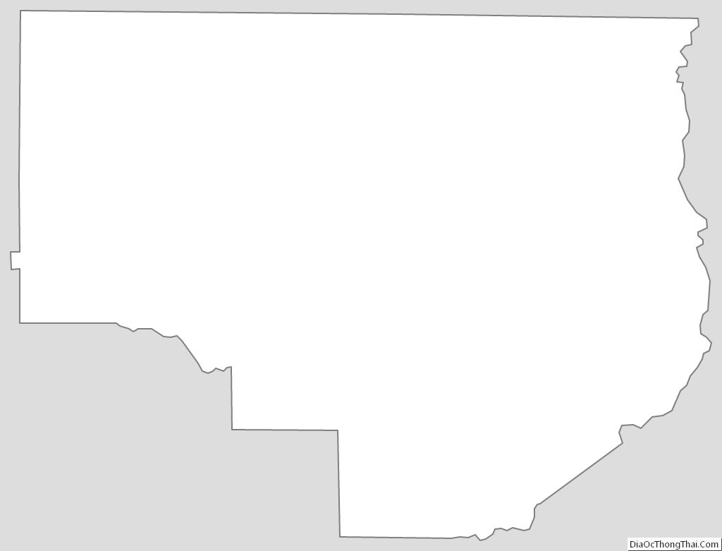
Union Parish Outline Map