| Name: | Union County |
|---|---|
| FIPS code: | 05-139 |
| State: | Arkansas |
| Founded: | November 2, 1829 |
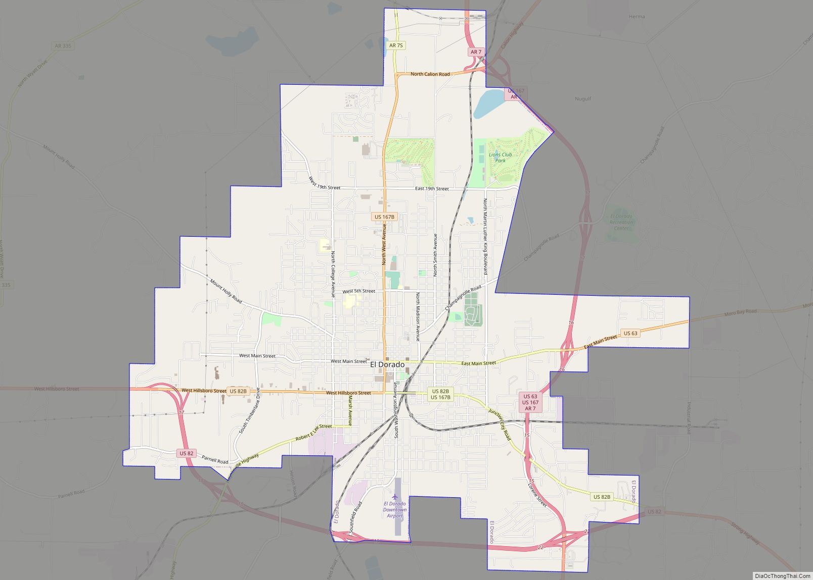
| Seat: | El Dorado |
| Largest city: | El Dorado |
| Total Area: | 1,055 sq mi (2,730 km²) |
| Land Area: | 1,039 sq mi (2,690 km²) |
| Total Population: | 39,054 |
| Population Density: | 40/sq mi (20/km²) |
| Time zone: | UTC−6 (Central) |
| Summer Time Zone (DST): | UTC−5 (CDT) |
| Website: | www.unioncountyar.com |
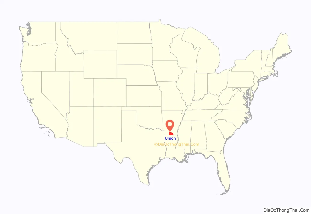
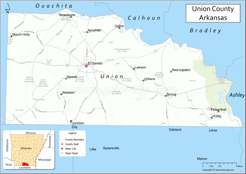
Union County location map. Where is Union County?
History
Union County was formed on November 2, 1829, from portions of Clark and Hempstead counties. Areas along the waterways were originally developed for cotton plantations in the antebellum years, and planters depended on large groups of enslaved African-American workers to generate their profits.
On January 10, 1921, Dr. Samuel T. Busey hit oil with a well about a mile south of El Dorado, leading to an oil boom that attracted thousands of workers and speculators. His first well produced for fewer than two months, but by 1923, “El Dorado boasted fifty-nine oil contracting companies, thirteen oil distributors and refiners, and twenty-two oil production companies. The city was flooded with so many people that no bed space was available for them, leading to whole neighborhoods of tents and hastily constructed shacks to be erected throughout the city. The city’s population reached a high of nearly 30,000 in 1925 during the boom before dropping to 16,241 by 1930 and rising to 25,000 by 1960.” Oil production fell markedly in the early 1930s, in part due to companies’ financial difficulties during the Great Depression. It recovered later in the decade.
During World War II, chemical plants were established in the county, but their production declined after the war. Exploitation of Arkansas forests led to growth in the timber industry in the county. Oil, chemical and timber industries are still important to the economy, although in lesser proportion.
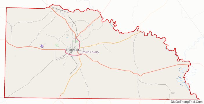
Union County Road Map
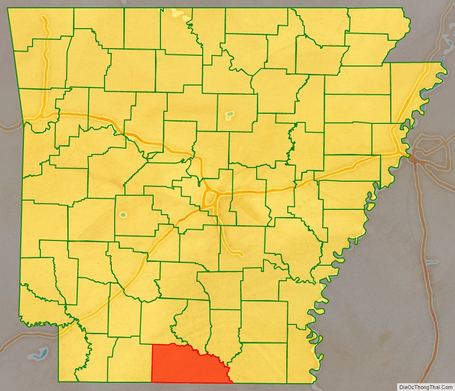
Geography
According to the U.S. Census Bureau, the county has a total area of 1,055 square miles (2,730 km), of which 1,039 square miles (2,690 km) is land and 16 square miles (41 km) (1.5%) is water. It is the largest county by area in Arkansas. Union County, along with Columbia County, has the largest bromine reserve in the United States. The lowest point in the state of Arkansas is located on the Ouachita River in Union County and Ashley County, where it flows out of Arkansas and into Louisiana.
Adjacent counties
- Ouachita County (northwest)
- Calhoun County (north)
- Bradley County (northeast)
- Ashley County (east)
- Morehouse Parish, Louisiana (southeast)
- Union Parish, Louisiana (south)
- Claiborne Parish, Louisiana (southwest)
- Columbia County (west)
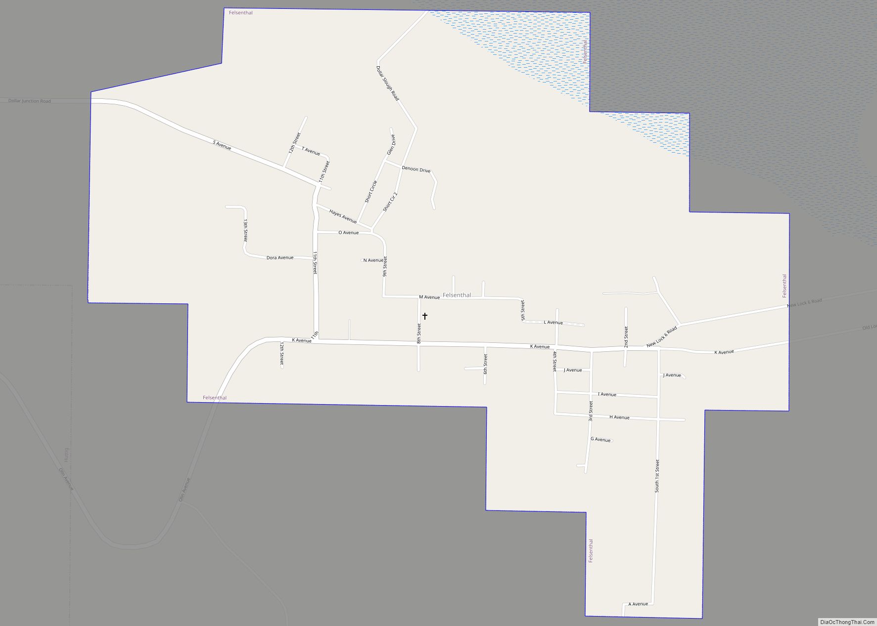
National protected area
- Felsenthal National Wildlife Refuge (part)
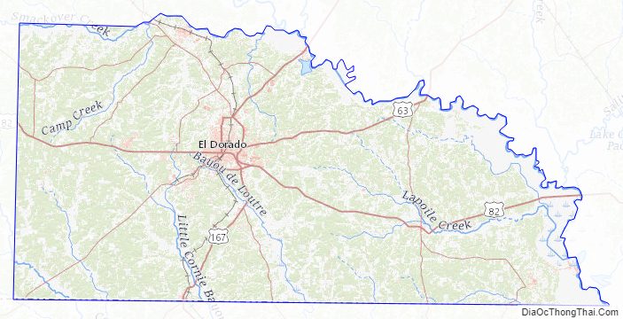
Union County Topographic Map
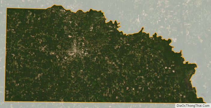
Union County Satellite Map
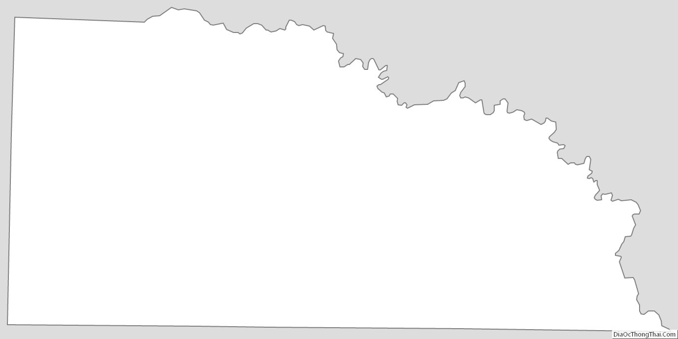
Union County Outline Map