| Name: | Morehouse Parish |
|---|---|
| FIPS code: | 22-067 |
| State: | Louisiana |
| Founded: | 1844 |
| Named for: | Abraham Morehouse |
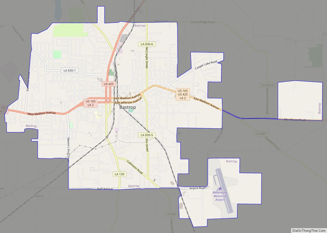
| Seat: | Bastrop |
| Largest city: | Bastrop |
| Total Area: | 805 sq mi (2,080 km²) |
| Land Area: | 794 sq mi (2,060 km²) |
| Total Population: | 25,629 |
| Population Density: | 32/sq mi (12/km²) |
| Time zone: | UTC−6 (Central) |
| Summer Time Zone (DST): | UTC−5 (CDT) |
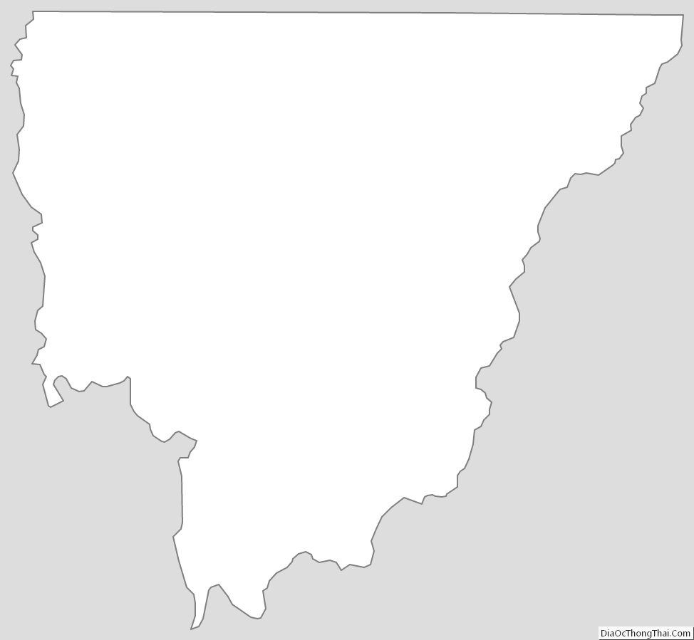
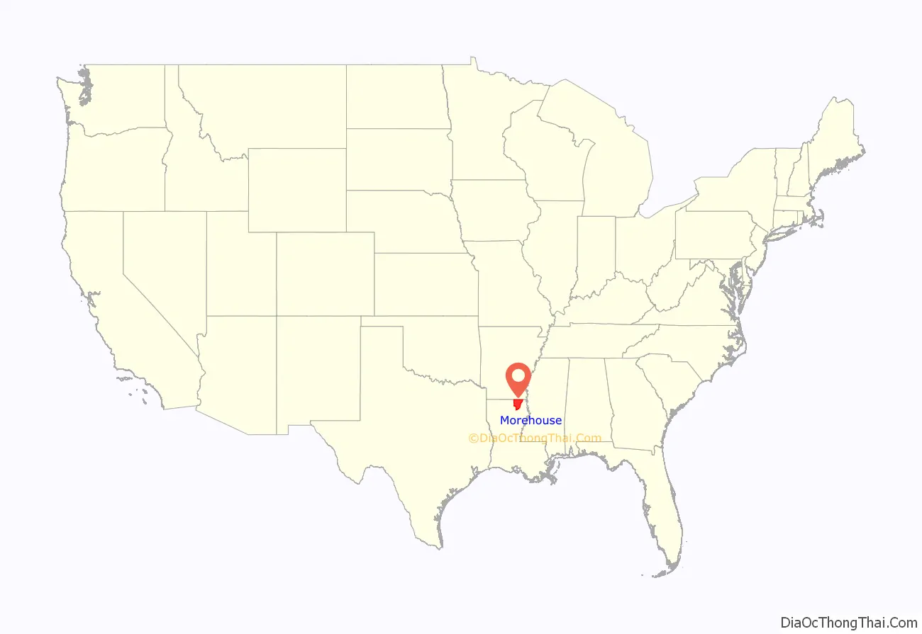
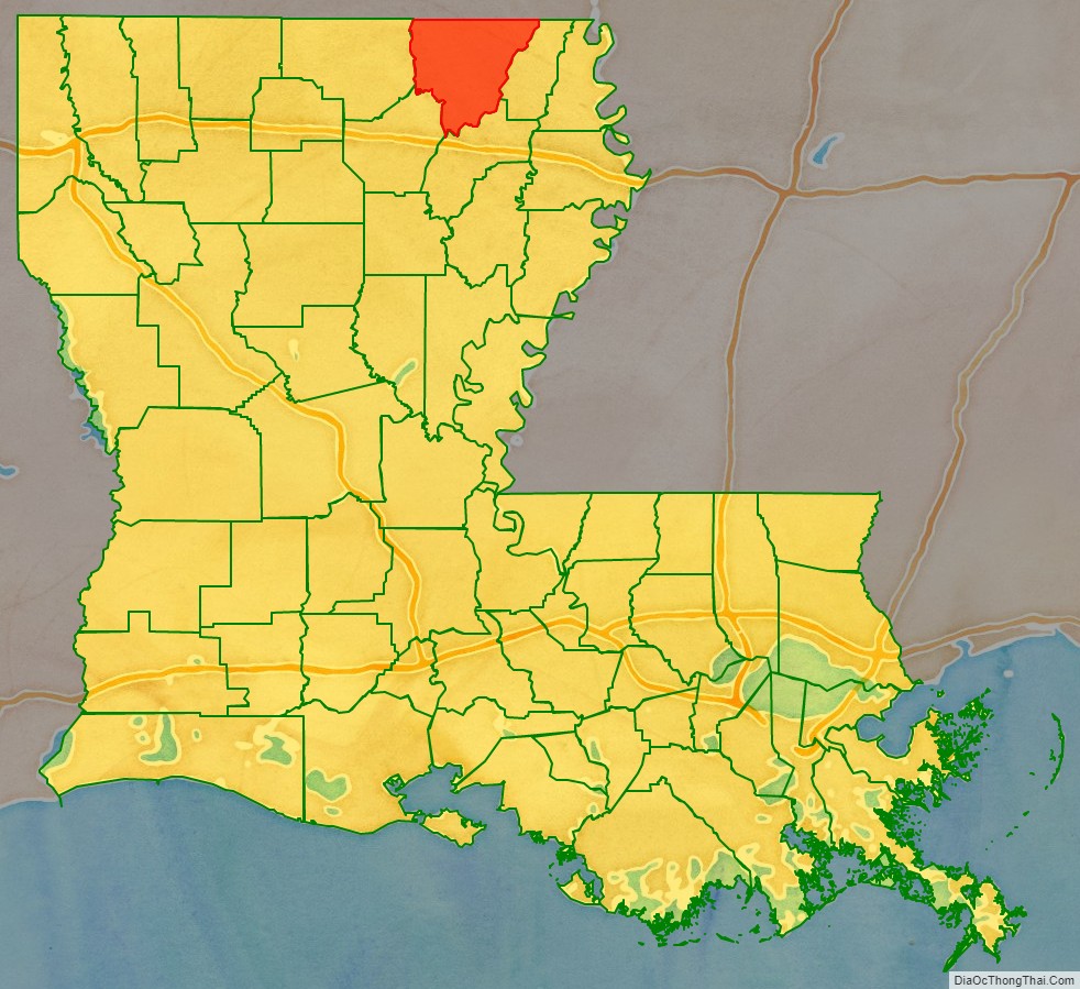
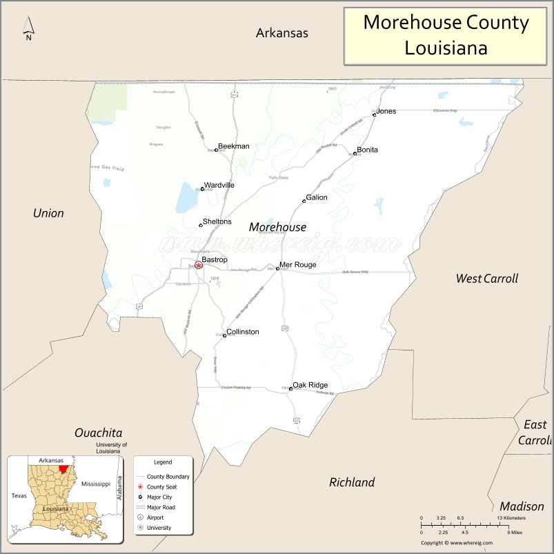
Morehouse Parish location map. Where is Morehouse Parish?
History
Francois Bonaventure built a house on 2000~acre tract in 1775 in Bastrop, Louisiana.
Morehouse Parish is named after Colonel Abraham Morehouse, who served in the Revolutionary War.
Throughout the first half of the twentieth century, Morehouse County was a stronghold of the Ku Klux Klan. During the trial for the 1922 Lynchings of Mer Rouge, Louisiana, many witnesses testified that county officials including Sheriff Fred Carpenter, his deputies, the district attorney, and the postmaster were Klan members. However the grand jury, itself likely made up largely of Klan members, dismissed the case.
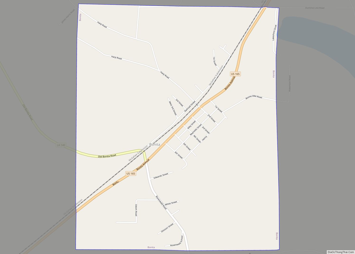
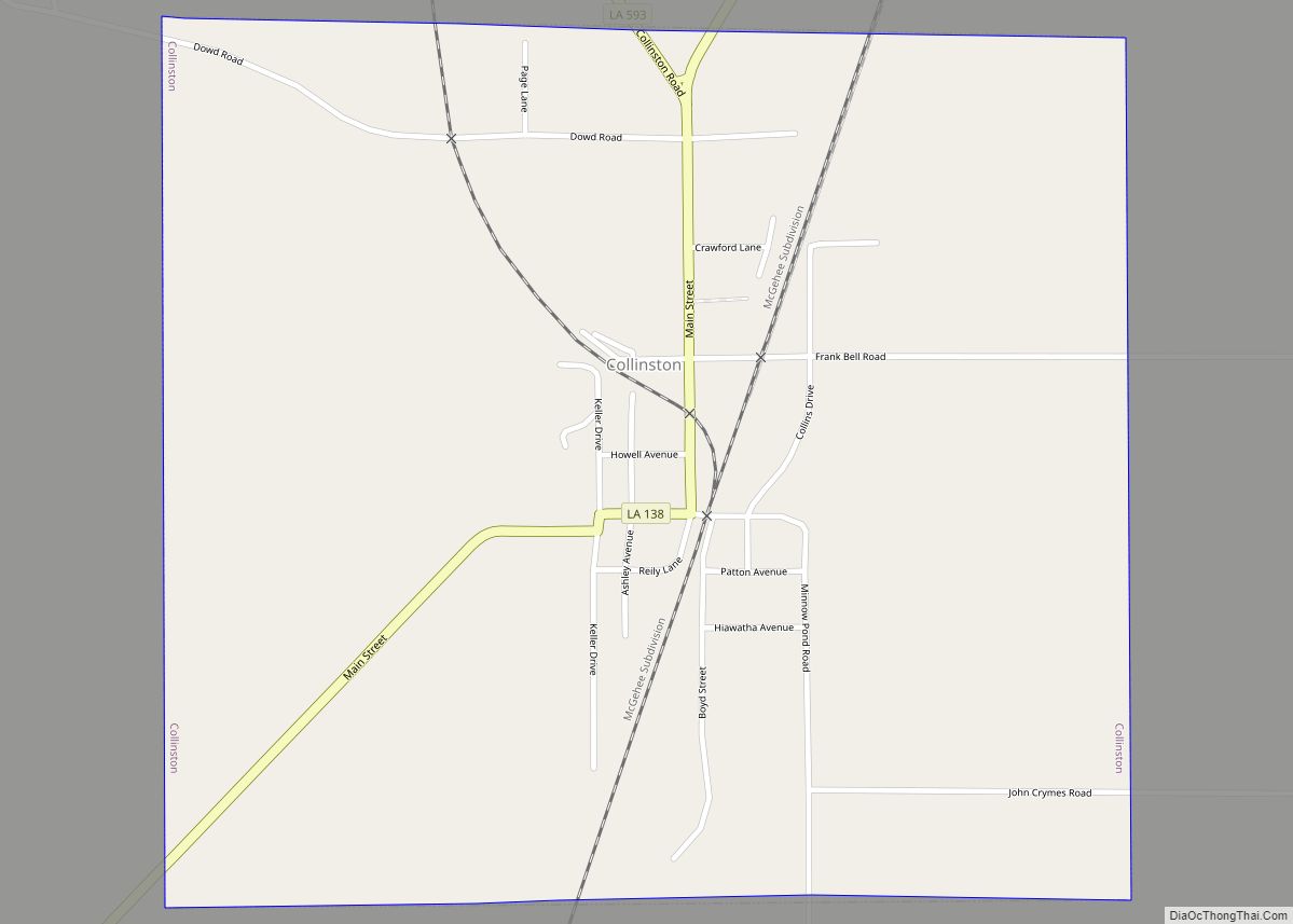
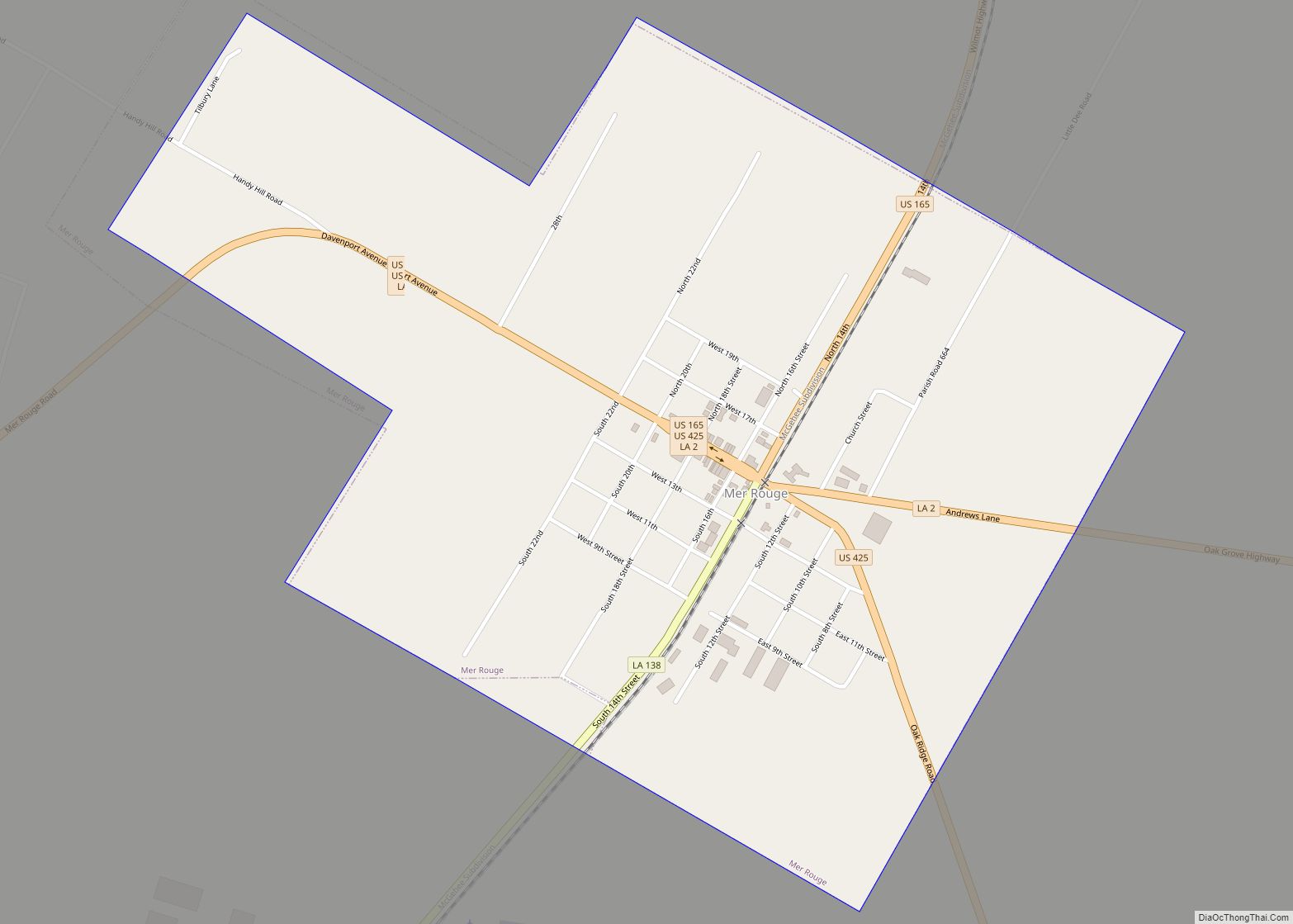
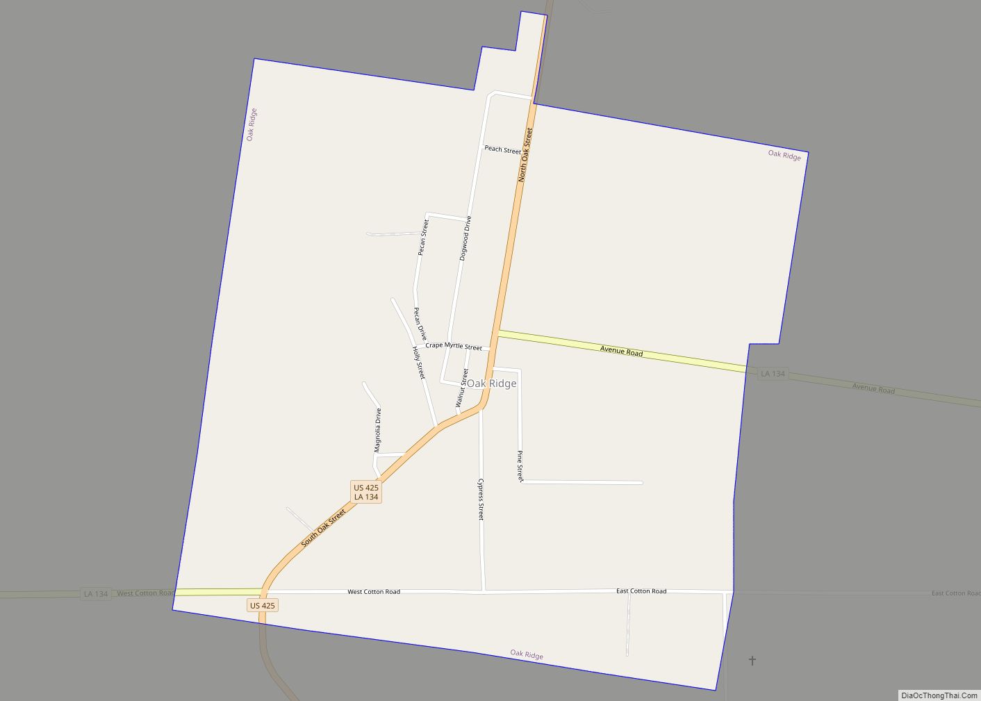
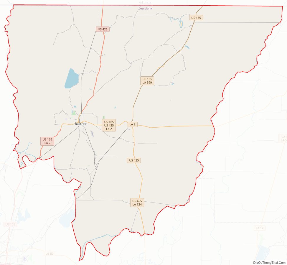
Morehouse Parish Road Map
Geography
According to the U.S. Census Bureau, the parish has a total area of 806 square miles (2,090 km), of which 795 square miles (2,060 km) is land and 11 square miles (28 km) (1.4%) is water.
Major highways
- U.S. Highway 165
- U.S. Highway 425
- Louisiana Highway 2
- Louisiana Highway 133
- Louisiana Highway 134
Adjacent counties and parishes
- Union County, Arkansas (northwest)
- Ashley County, Arkansas (north)
- Chicot County, Arkansas (northeast)
- West Carroll Parish (east)
- Richland Parish (southeast)
- Ouachita Parish (southwest)
- Union Parish (west)
National protected areas
- Handy Brake National Wildlife Refuge
- Upper Ouachita National Wildlife Refuge (part)
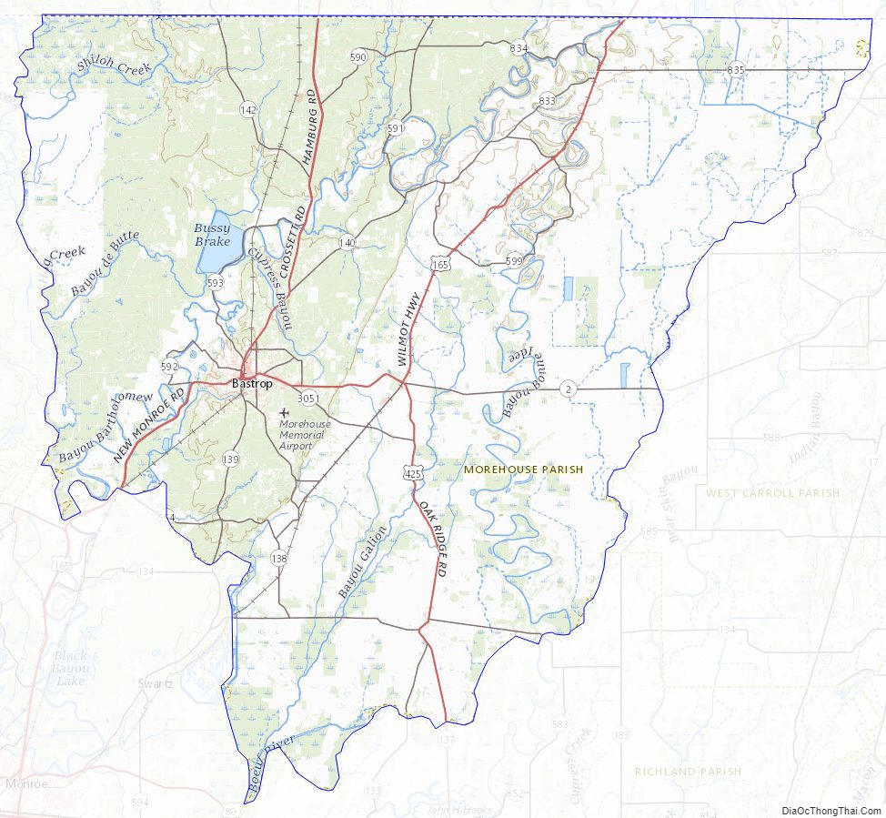
Morehouse Parish Topographic Map
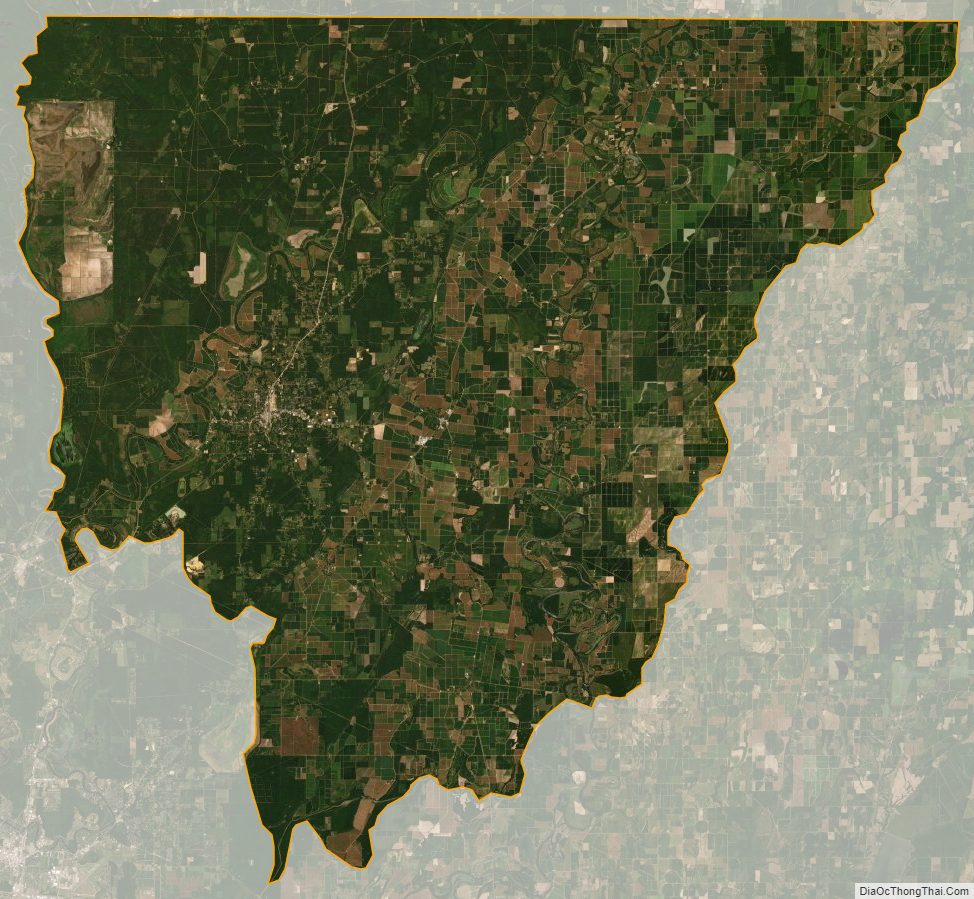
Morehouse Parish Satellite Map
Morehouse Parish Outline Map