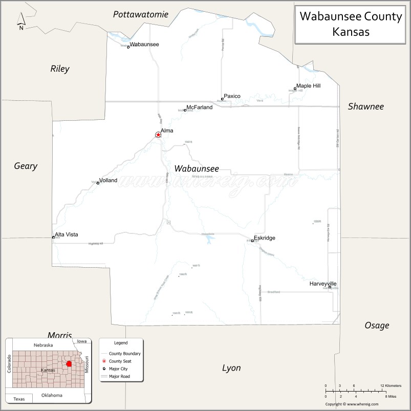
Wabaunsee County (standard abbreviation: WB) is a county located in the U.S. state of Kansas. As of the 2020 census, the county population was 6,877. Its county seat is Alma. The county was created by the territorial legislature of Kansas Territory on March 25, 1859, and was named for a chief of the Potawatomi Indians.
| Name: | Wabaunsee County |
|---|---|
| FIPS code: | 20-197 |
| State: | Kansas |
| Founded: | 1859 |
| Named for: | Chief Waubonsie |
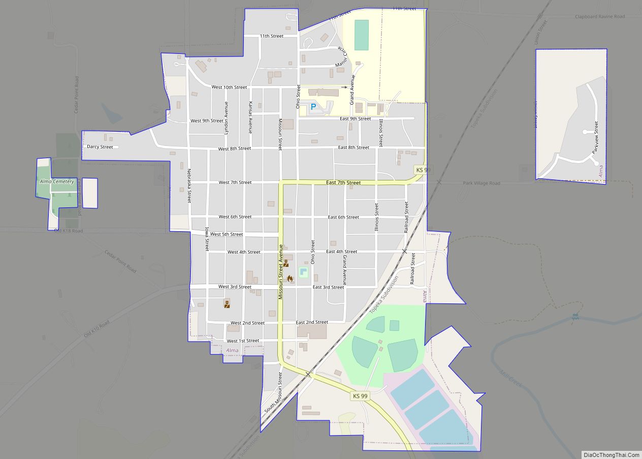
| Seat: | Alma |
| Largest city: | Alma |
| Total Area: | 800 sq mi (2,000 km²) |
| Land Area: | 794 sq mi (2,060 km²) |
| Total Population: | 6,877 |
| Population Density: | 8.7/sq mi (3.4/km²) |
| Time zone: | UTC−6 (Central) |
| Summer Time Zone (DST): | UTC−5 (CDT) |
| Website: | wbcounty.org |
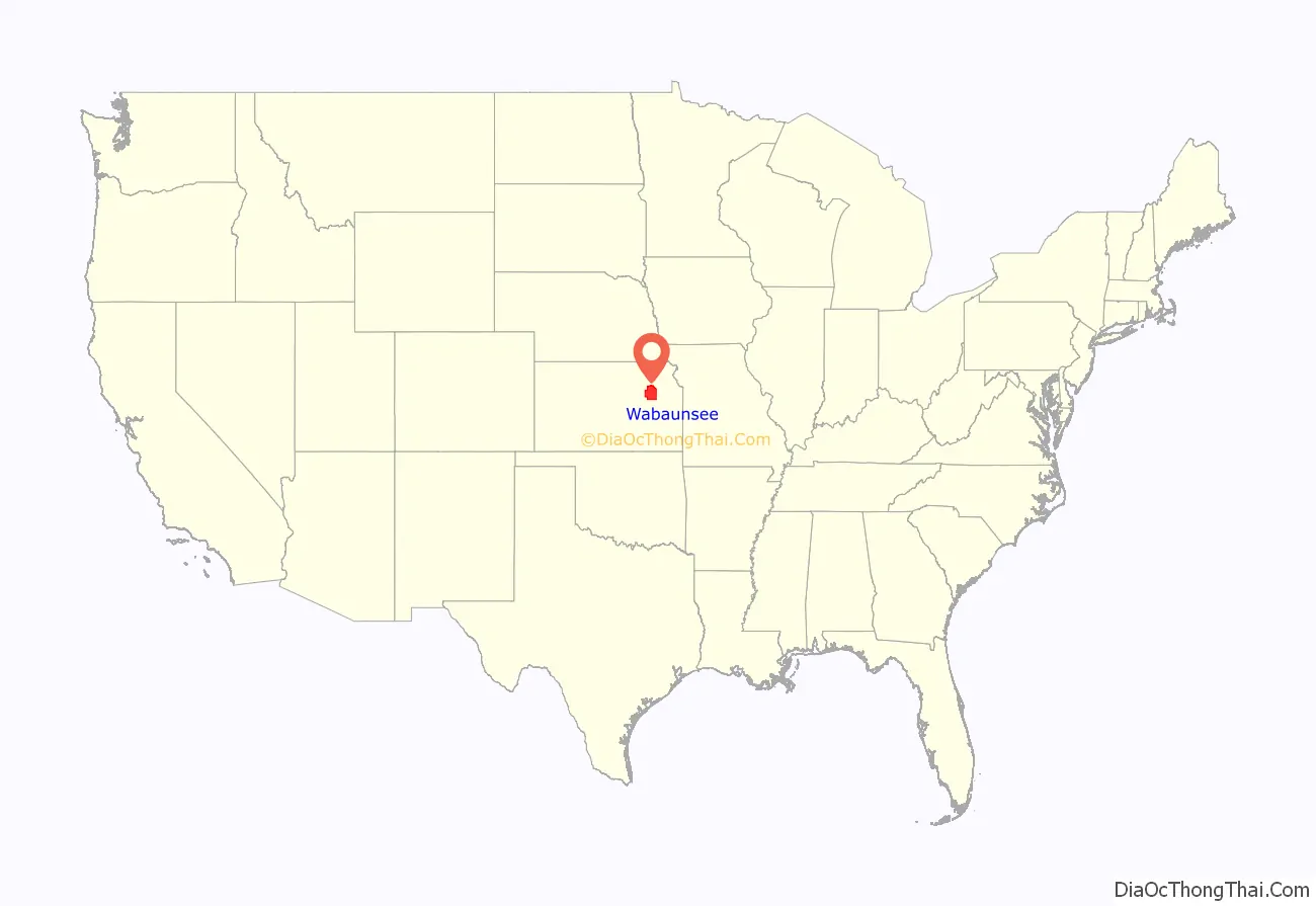
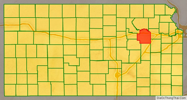
Wabaunsee County location map. Where is Wabaunsee County?
History
19th century
For millennia, the land now known as Kansas was inhabited by Native Americans. In 1803, most of modern Kansas was secured by the United States as part of the Louisiana Purchase. The first white settlers in the area were said to have been a band of outlaws known as the McDaniel Gang.
In 1854, the Kansas Territory was organized and Wabaunsee County was created by the territorial legislature on March 25, 1859. The name used since 1859 is derived from the Potawatomi “Wah-bon-seh”, meaning “dawn of day” literally, and it was the name of the chief of the Potawatomi Indians. Originally, the county was named Richardson, after William Alexander Richardson, a congressman from Illinois, who introduced the first Kansas and Nebraska Bill in the House of Representatives, which made certain Indian lands territories in 1854.
Also in 1854, the Beecher Bible and Rifle Church was established by a group of free-staters, who had rifles shipped to the church to be used in the free-state effort in boxes marked Bibles. Captain William Mitchell, Jr., a seaman who joined the Beecher Bible and Rifle Colony that settled in Wabaunsee, played an important role in the county settlement and with the underground railroad.
The county’s first church, Wabaunsee Church of Christ, was founded in June 1857.
In 1861 Kansas became the 34th U.S. state, entering the union as a free state.
The first railroad to be built through Wabaunsee County was the Atchison, Topeka, and Santa Fe in 1880. In 1887, the Chicago, Kansas and Nebraska Railway built a main line from Topeka to Herington. This main line connected Topeka, Valencia, Willard, Maple Hill, Vera, Paxico, McFarland, Alma, Volland, Alta Vista, Dwight, White City, Latimer, Herington.
20th century
A massive drought beginning in 1930 resulted in a series of dust storms that lasted until 1941. The drought combined with the onset of the Great Depression, forced farmers off the land. This ecological disaster caused an exodus of many farmers to escape from the hostile environment of Kansas. As the world demand for wheat plummeted, rural Kansas became poverty-stricken. The state became an eager participant in such major New Deal relief programs as the Civil Works Administration, the Federal Emergency Relief Administration, the Civilian Conservation Corps, the Works Progress Administration, which put tens of thousands of Kansans to work as unskilled labor. Republican Governor Alf Landon also employed emergency measures, including a moratorium on mortgage foreclosures and a balanced budget initiative. The Agricultural Adjustment Administration succeeded in raising wheat prices after 1933, thus alleviating the most serious distress.
During World War II, the U.S. Army located a German prisoner of war camp at Lake Wabaunsee, near Eskridge. It was believed that the prisoners would be less of a security risk in North America, where there were fewer Nazi sympathizers, than they would be in Europe. The prisoners were paid $0.40 per hour and granted a daily noon lunch, in exchange for their help on farms and bridges throughout the region.
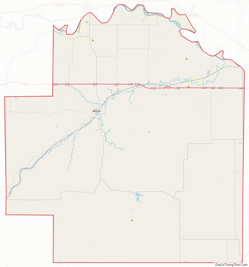
Wabaunsee County Road Map
Geography
According to the U.S. Census Bureau, the county has a total area of 800 square miles (2,100 km), of which 794 square miles (2,060 km) is land and 5.3 square miles (14 km) (0.7%) is water.
Adjacent counties
- Pottawatomie County (north)
- Shawnee County (east)
- Osage County (southeast)
- Lyon County (south)
- Morris County (southwest)
- Geary County (west)
- Riley County (northwest)
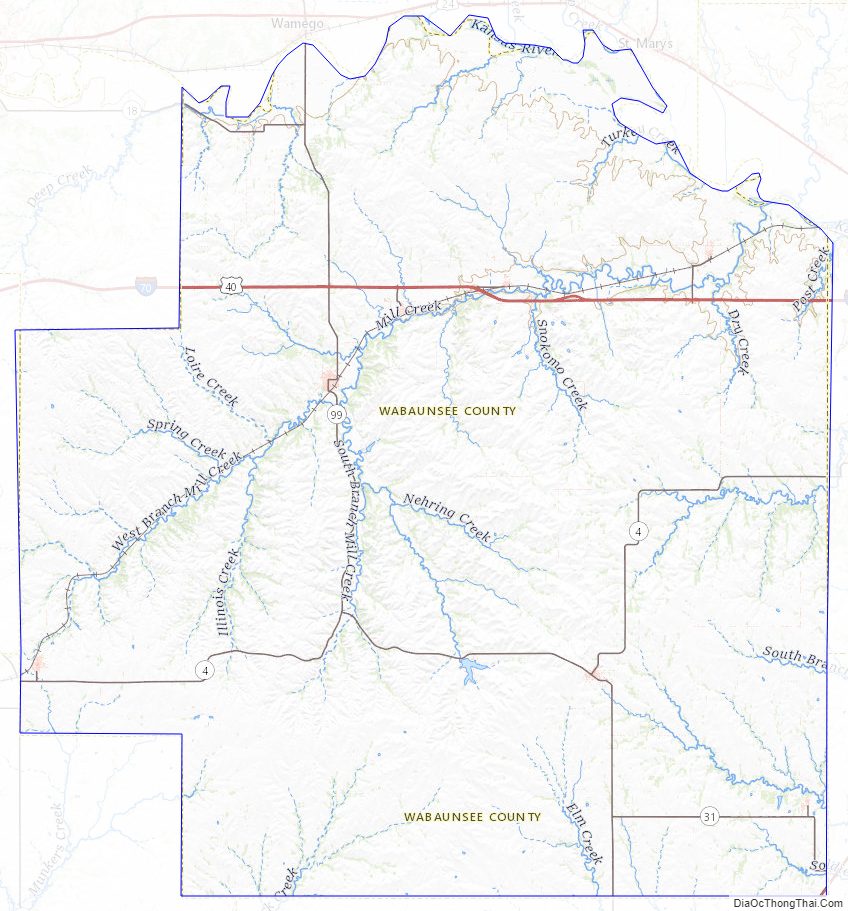
Wabaunsee County Topographic Map
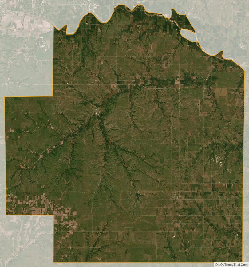
Wabaunsee County Satellite Map
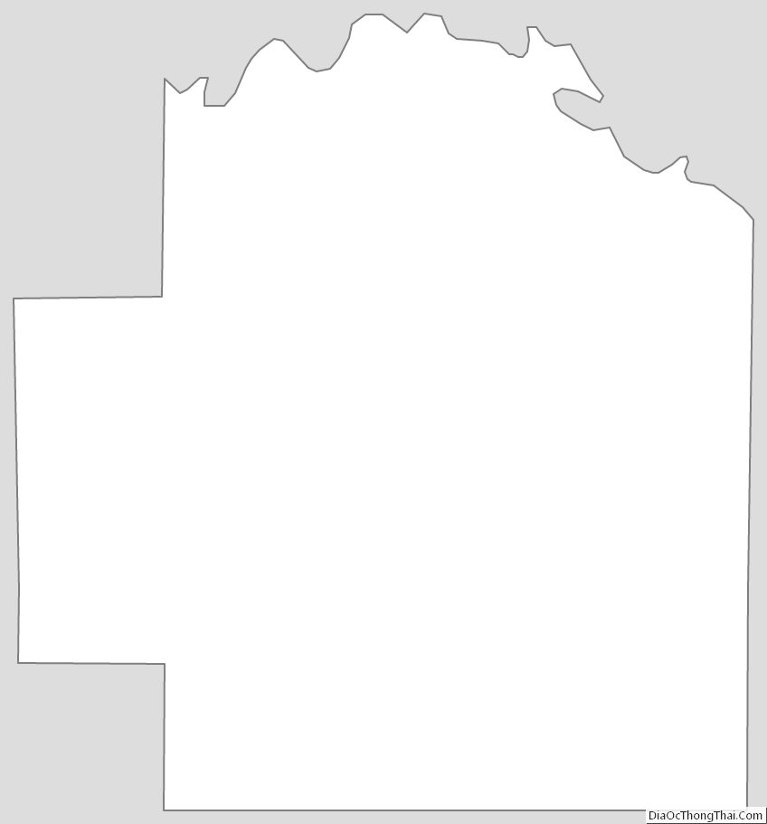
Wabaunsee County Outline Map