Herington is a city in Dickinson and Morris counties in the U.S. state of Kansas. As of the 2020 census, the population of the city was 2,109.
| Name: | Herington city |
|---|---|
| LSAD Code: | 25 |
| LSAD Description: | city (suffix) |
| State: | Kansas |
| County: | Dickinson County, Morris County |
| Founded: | 1880s |
| Incorporated: | 1887 |
| Elevation: | 1,355 ft (413 m) |
| Total Area: | 4.85 sq mi (12.57 km²) |
| Land Area: | 4.83 sq mi (12.50 km²) |
| Water Area: | 0.03 sq mi (0.07 km²) |
| Total Population: | 2,109 |
| Population Density: | 430/sq mi (170/km²) |
| ZIP code: | 67449 |
| Area code: | 785 |
| FIPS code: | 2031400 |
| Website: | cityofherington.com |
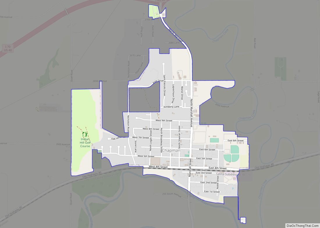
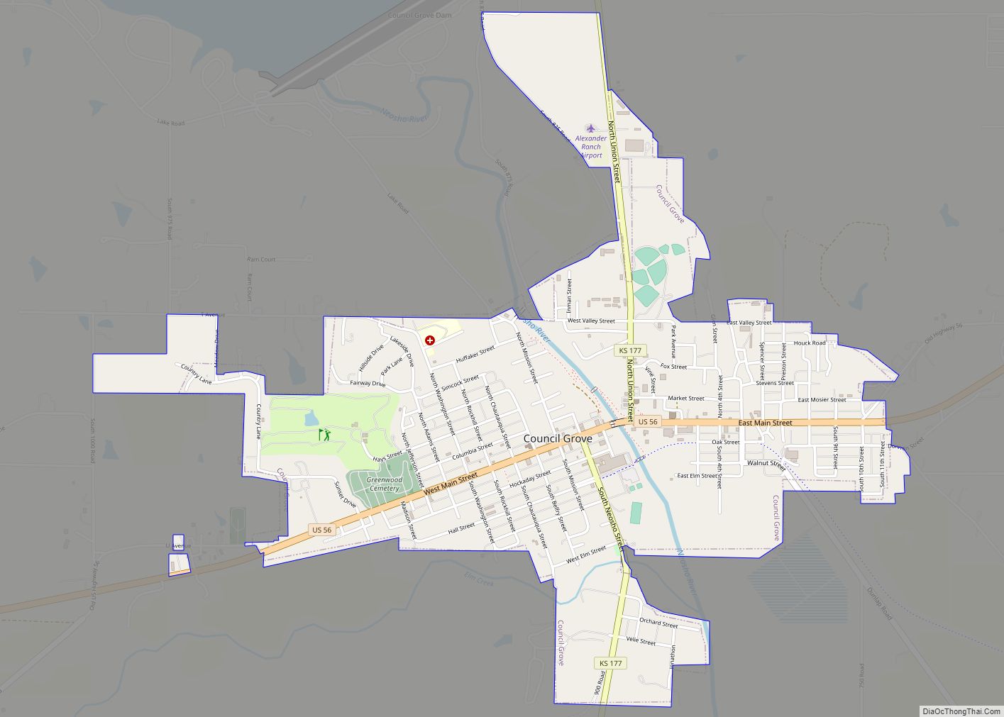
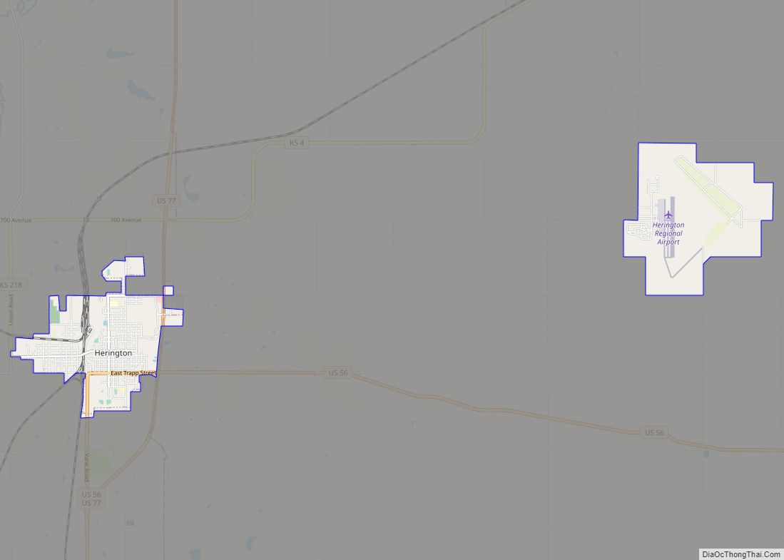
Online Interactive Map
Click on ![]() to view map in "full screen" mode.
to view map in "full screen" mode.
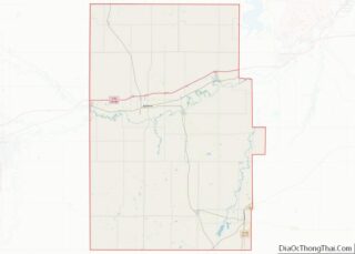
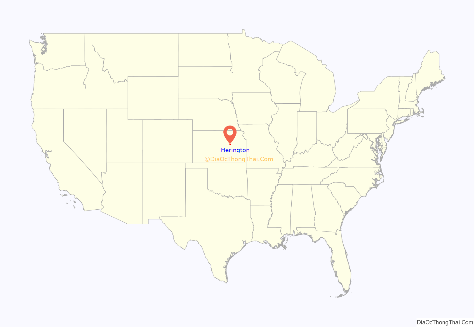
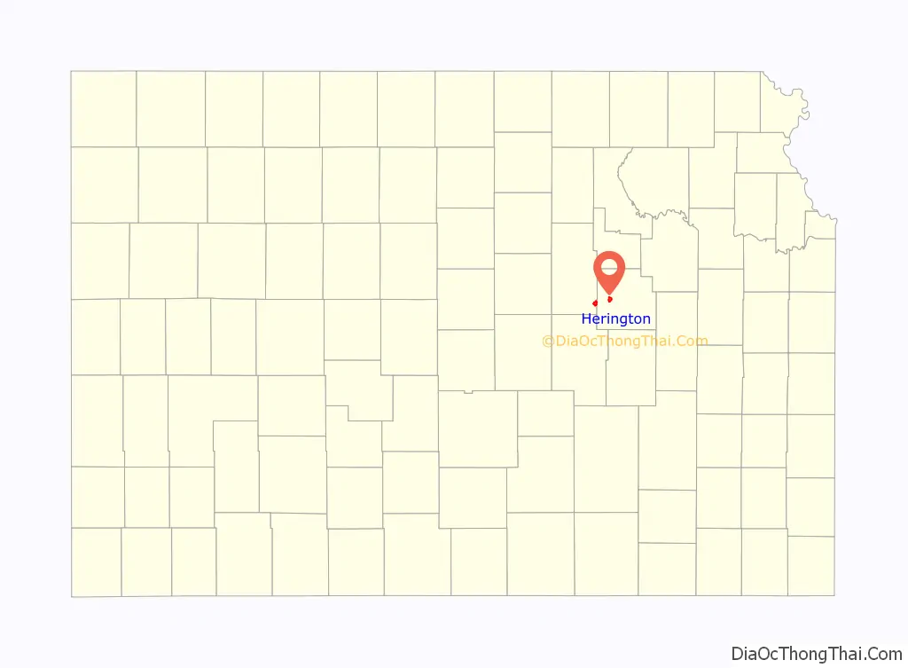
Herington location map. Where is Herington city?
History
19th century
Herington was named after its founder, Monroe Davis Herington. His name at birth was Davis Monroe Herrington, but he later dropped the second “r” from his last name.
The first post office in Herington was established in February 1884.
In 1887, Mr. Herington successfully got the Chicago, Kansas and Nebraska Railway to build through Herington. He gave the land and right-of-way for Herington to become a division point with shops, two round houses, freight house, bridge yards, telegraph office and many other buildings. He furnished the limestone for the freight house, and for a two-story depot that was 28 by 66 feet (8.5 m × 20.1 m) and later enlarged to 28 by 105 feet (8.5 m × 32.0 m). That same year, the Chicago, Kansas and Nebraska Railway built a main line from Topeka to Herington. Also in 1887, the Chicago, Kansas and Nebraska Railway extended its main line from Herington to Pratt. This line is called the “Golden State Limited”. That same year, the Chicago, Kansas and Nebraska Railway built a branch line north-south from Herington to Caldwell. By 1893, this branch line was incrementally built to Fort Worth, Texas. This line is called the “OKT”.
The Chicago, Kansas and Nebraska Railway was foreclosed in 1891 and was taken over by Chicago, Rock Island and Pacific Railway, which shut down in 1980 and reorganized as Oklahoma, Kansas and Texas Railroad, merged in 1988 with Missouri Pacific Railroad, merged in 1997 with Union Pacific Railroad. Most locals still refer to this railroad as the “Rock Island”.
20th century
The National Old Trails Road, also known as the Ocean-to-Ocean Highway, was established in 1912, and was routed through Herington, Delavan, and Council Grove. The American Discovery Trail passes through Herington.
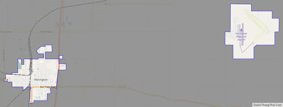
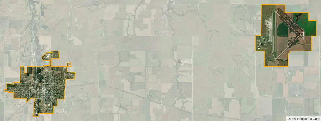
In World War II, Herington Army Airfield was built and was one of only two fields that processed heavy bombardment crews and equipment staging to the coasts for overseas duty. The field was later turned over to the City of Herington and is currently used as a municipal airport.
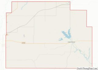
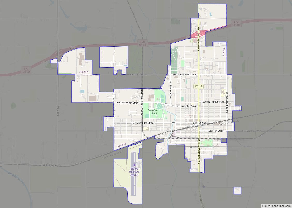
Herington Road Map
Herington city Satellite Map
Geography
According to the United States Census Bureau, the city has a total area of 5.09 square miles (13.18 km), of which, 5.06 square miles (13.11 km) is land and 0.03 square miles (0.08 km) is water.
Cityscape
Local attractions include:
- Herington Historical Museum.
- The Kansas Historical Marker of Dwight David Eisenhower is approximately 1 mi (1.6 km) south of Herington. In 2012, the Eisenhower marker replaced the previous “Father Juan De Padilla And Quivira” marker.
See also
Map of Kansas State and its subdivision:- Allen
- Anderson
- Atchison
- Barber
- Barton
- Bourbon
- Brown
- Butler
- Chase
- Chautauqua
- Cherokee
- Cheyenne
- Clark
- Clay
- Cloud
- Coffey
- Comanche
- Cowley
- Crawford
- Decatur
- Dickinson
- Doniphan
- Douglas
- Edwards
- Elk
- Ellis
- Ellsworth
- Finney
- Ford
- Franklin
- Geary
- Gove
- Graham
- Grant
- Gray
- Greeley
- Greenwood
- Hamilton
- Harper
- Harvey
- Haskell
- Hodgeman
- Jackson
- Jefferson
- Jewell
- Johnson
- Kearny
- Kingman
- Kiowa
- Labette
- Lane
- Leavenworth
- Lincoln
- Linn
- Logan
- Lyon
- Marion
- Marshall
- McPherson
- Meade
- Miami
- Mitchell
- Montgomery
- Morris
- Morton
- Nemaha
- Neosho
- Ness
- Norton
- Osage
- Osborne
- Ottawa
- Pawnee
- Phillips
- Pottawatomie
- Pratt
- Rawlins
- Reno
- Republic
- Rice
- Riley
- Rooks
- Rush
- Russell
- Saline
- Scott
- Sedgwick
- Seward
- Shawnee
- Sheridan
- Sherman
- Smith
- Stafford
- Stanton
- Stevens
- Sumner
- Thomas
- Trego
- Wabaunsee
- Wallace
- Washington
- Wichita
- Wilson
- Woodson
- Wyandotte
- Alabama
- Alaska
- Arizona
- Arkansas
- California
- Colorado
- Connecticut
- Delaware
- District of Columbia
- Florida
- Georgia
- Hawaii
- Idaho
- Illinois
- Indiana
- Iowa
- Kansas
- Kentucky
- Louisiana
- Maine
- Maryland
- Massachusetts
- Michigan
- Minnesota
- Mississippi
- Missouri
- Montana
- Nebraska
- Nevada
- New Hampshire
- New Jersey
- New Mexico
- New York
- North Carolina
- North Dakota
- Ohio
- Oklahoma
- Oregon
- Pennsylvania
- Rhode Island
- South Carolina
- South Dakota
- Tennessee
- Texas
- Utah
- Vermont
- Virginia
- Washington
- West Virginia
- Wisconsin
- Wyoming