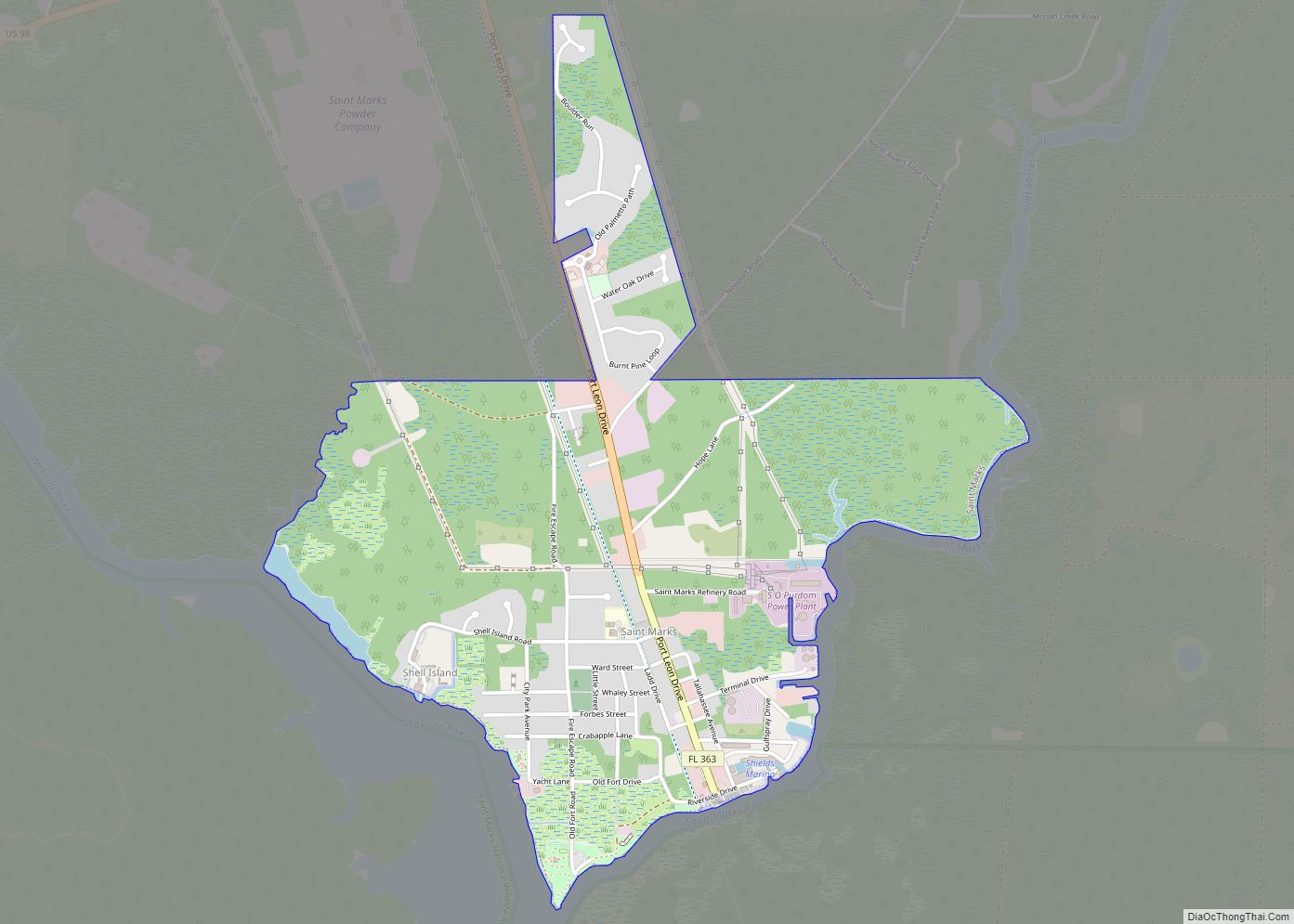
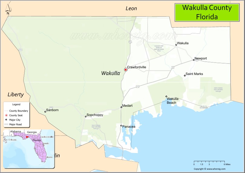
Wakulla County is a county located in the Big Bend region in the northern portion of the U.S. state of Florida. As of the 2020 census, the population was 33,764. Its county seat is Crawfordville.
Wakulla County is part of the Tallahassee, FL Metropolitan Statistical Area.
Wakulla County has a near-absence of any municipal population, with two small municipalities holding about 3% of the population. The county seat, Crawfordville, is one of only two unincorporated county seats among Florida’s 67 counties.
| Name: | Wakulla County |
|---|---|
| FIPS code: | 12-129 |
| State: | Florida |
| Founded: | March 11, 1843 |
| Named for: | Wakulla River |
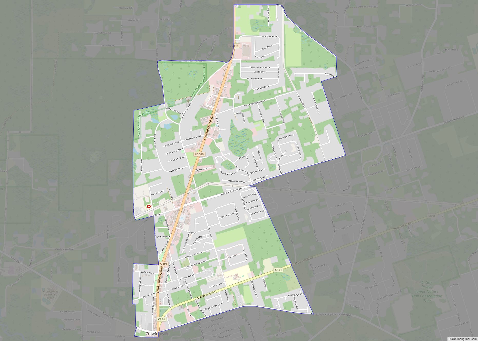
| Seat: | Crawfordville |
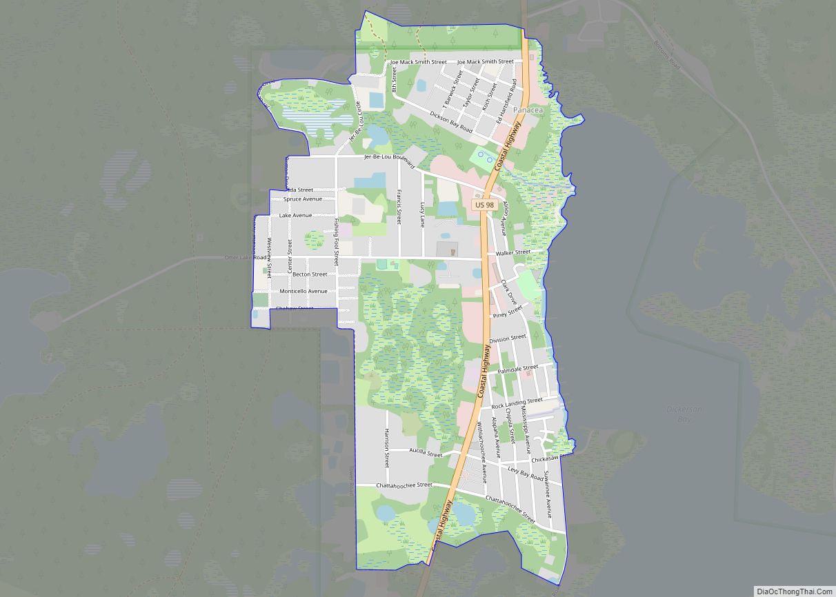
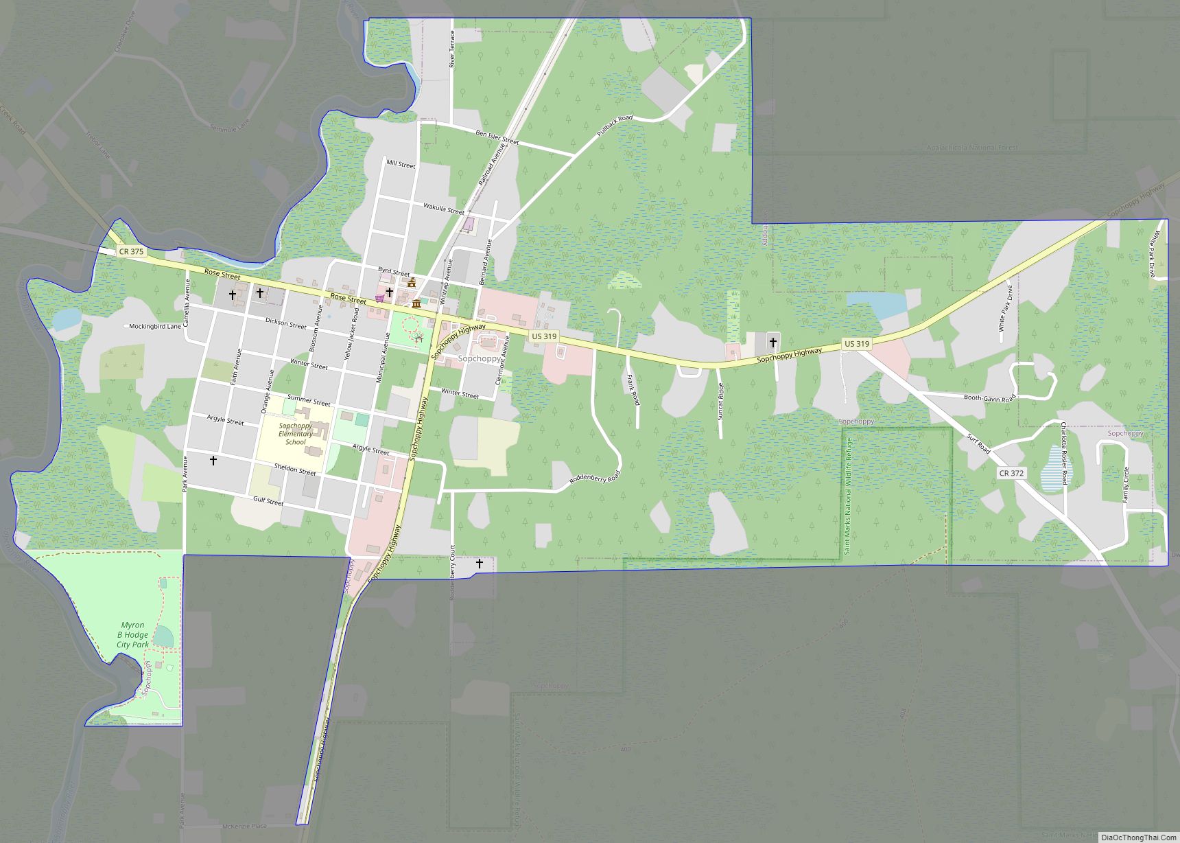
| Largest city: | Sopchoppy |
| Total Area: | 736 sq mi (1,910 km²) |
| Land Area: | 606 sq mi (1,570 km²) |
| Total Population: | 33,764 |
| Population Density: | 55/sq mi (21/km²) |
| Time zone: | UTC−5 (Eastern) |
| Summer Time Zone (DST): | UTC−4 (EDT) |
| Website: | www.mywakulla.com |
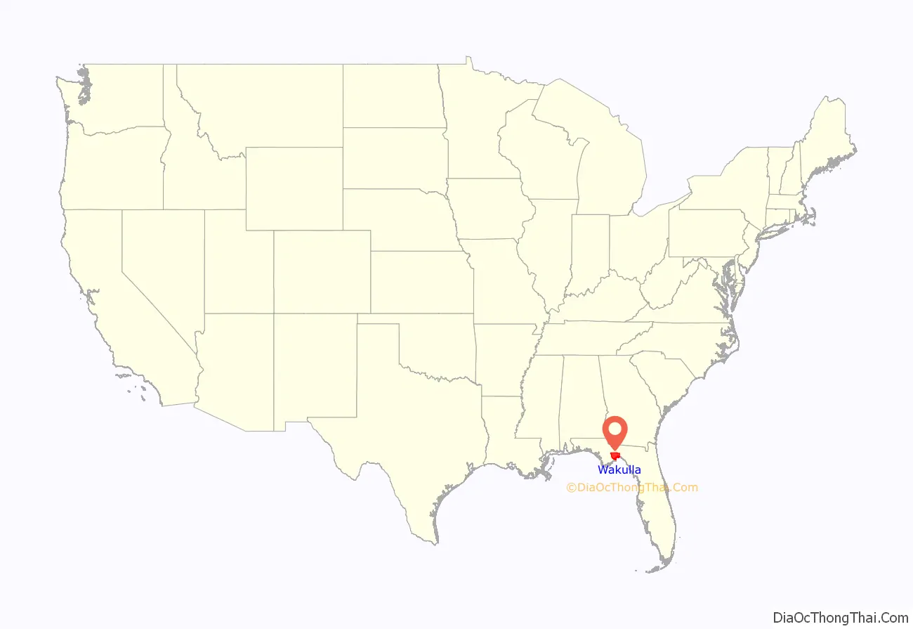
Wakulla County location map. Where is Wakulla County?
History
First Spanish period
In 1528, Pánfilo de Narváez found his way to what would be Wakulla County from the future Pinellas County, Florida, camping at the confluence of the Wakulla and St. Marks rivers. Narváez determined this was a very suitable spot for a fort. In 1539, Hernando de Soto’s expedition passed through La Florida with a similar route.
The Fort San Marcos de Apalache began with a wooden fort in the late 1600s. The vicinity around the fort was not settled until 1733. Spanish colonial officials began constructing a stone fort, which was unfinished in the mid-1760s when Great Britain took over.
British period
The British divided Florida into East Florida, which included present-day Wakulla County, and West Florida. The boundary was the Apalachicola River; at that time, West Florida extended all the way to the Mississippi River. Twenty years later when the Spanish returned, they kept the East and West divisions, with the administrative capitals remaining at St. Augustine and Pensacola, respectively.
Second Spanish period
The area to become Wakulla County was an active place in the early 19th century. A former British officer named William Augustus Bowles attempted to unify and lead 400 Creek Indians against the Spanish outpost of San Marcos, capturing it. This provoked Spain, and a Spanish flotilla arrived some five weeks later to restore control.
In 1818, General Andrew Jackson invaded the area, capturing Fort San Marcos. Two captive British citizens, Robert Ambrister and Alexander Arbuthnot, were tried, found guilty of inciting Indian raids, and executed under Jackson’s authority – causing a diplomatic nightmare between the U.S. and Britain. The U.S. Army garrison of 200 infantry and artillery men occupied the fort for the better part of a year (1818-1819).
In 1821, Florida was ceded to the United States and Fort St. Marks, as the Americans called it, was again garrisoned by U.S. troops.
Florida’s territorial period
In 1824, the fort was abandoned and turned over to the Territory of Florida.
By 1839, the fort was returned to the Federal government and a merchant marine hospital was built. The hospital provided care for seamen and area yellow fever victims.
- 1840 – Camp Lawson, northwest of Wakulla and northeast of Ivan, on the St. Marks River. A log stockade also known as Fort Lawson (2).
- 1841-1842 – Fort Many located near Wakulla Springs.
- 1839 – Fort Number Five (M) located near Sopchoppy.
- 1839-1843 – Fort Stansbury was located on the Wakulla River 9 miles (14 km) from St. Marks.
- 1841-1843 – Fort Port Leon. Abandoned after a hurricane destroyed it. Site was later used for a CSA Army artillery battery.
- 1839 – James Island Post located on James Island.
Source: Florida Forts
Antebellum Wakulla
Wakulla County was created from Leon County in 1843. It may (although this is disputed) be named for the Timucuan Indian word for “spring of water” or “mysterious water”. This is in reference to Wakulla County’s greatest natural attraction, Wakulla Springs, which is one of the world’s largest freshwater springs, both in terms of depth and water flow. In 1974, the water flow was measured at 1.23 billion US gallons (4,700,000 m) per day—the greatest recorded flow ever for a single spring.
In an 1856 book, adventurer Charles Lanman wrote of the springs:
Another possible origin for the name Wakulla, not as widely accepted, is that it means “mist” or “misting”, perhaps in reference to the Wakulla Volcano, a 19th-century phenomenon in which a column of smoke could be seen emerging from the swamp for miles.
The town of Port Leon was once a thriving cotton-shipping hub, with a railroad from Tallahassee that carried over 50,000 tons of cotton a year to be put on ships, usually for shipment direct to Europe. Port Leon was the sixth-largest town in Florida, with 1,500 residents. However, a hurricane and the accompanying storm surge wiped out the entire town. New Port (today known as Newport, Florida) was built two miles (3 km) upstream but never quite achieved the prosperity of Port Leon.
Civil War
During the Civil War, Wakulla County was blockaded from 1861 to 1865 by a Union Navy squadron at the mouth of the St. Marks River. Confederates took the old Spanish fort known as San Marcos de Apalache, or Fort St. Marks, and renamed it Fort Ward.
The Battle of Natural Bridge eventually stopped the Union force that intended to take Fort Ward and nearby Tallahassee, the only Confederate state capital other than Austin Texas which had not been captured. The Union was not able to land all of its forces, but they still outnumbered the Confederates, who chose to make their stand at a place where the St. Marks River goes underground: the “Natural Bridge” referred to. However, the Confederate Army had over a day to prepare its defenses, and the Union Army retreated. Most of the dead were African-American Union soldiers.
20th century & beyond
In Gloria Jahoda’s book, The Other Florida, she writes movingly of the extreme poverty of Wakulla County from the early 1900s to 1966, when Wakulla still had no doctor and no dentist, few stores, and a county newspaper produced just once a month on a mimeograph machine.
Today, Wakulla has several doctors and dentists, several supermarkets and big-box retailers, a golf resort, and a thriving seafood business.
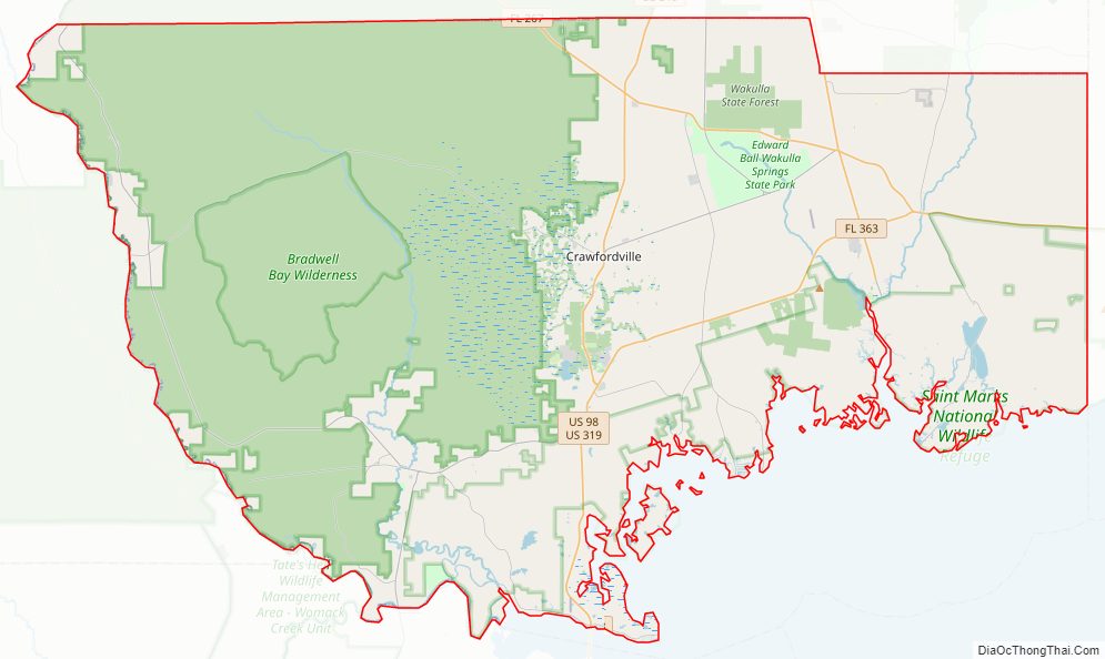
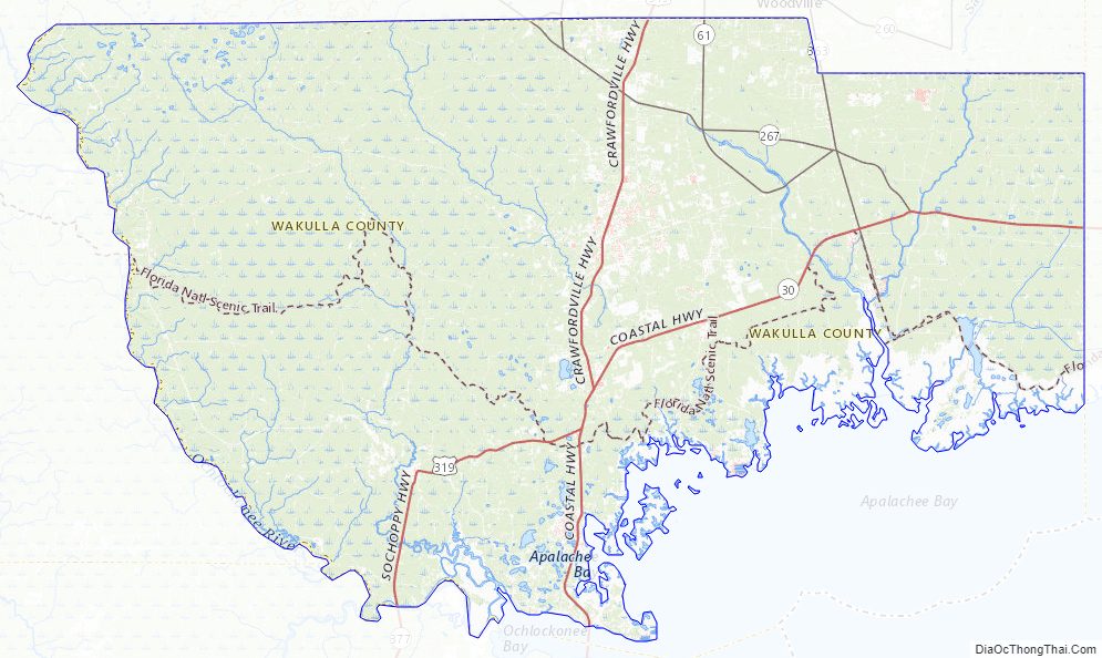
Wakulla County Road Map
Geography
According to the U.S. Census Bureau, the county has a total area of 736 square miles (1,910 km), of which 606 square miles (1,570 km) is land and 129 square miles (330 km) (17.6%) is water.
Adjacent counties
- Leon County – north
- Liberty County – west
- Franklin County – southwest
- Jefferson County – east
National protected areas
- Apalachicola National Forest (part)
- St. Marks National Wildlife Refuge (part)
State and local protected areas
- Ochlockonee River State Park
- San Marcos de Apalache Historic State Park
- Wakulla Springs State Park
Wakulla County Topographic Map
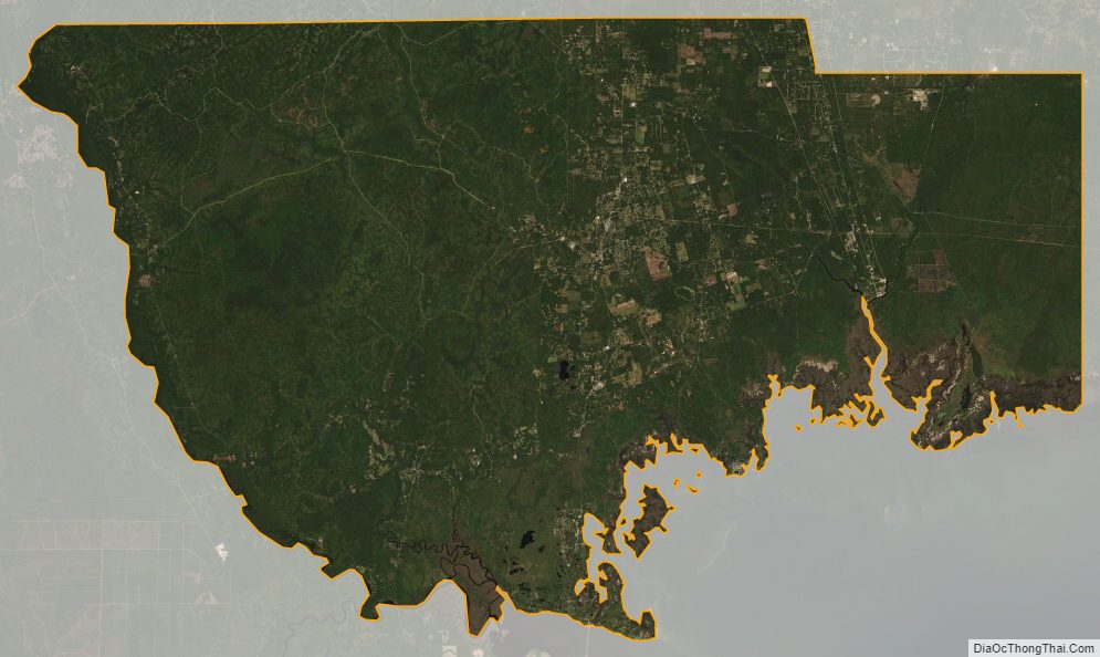
Wakulla County Satellite Map
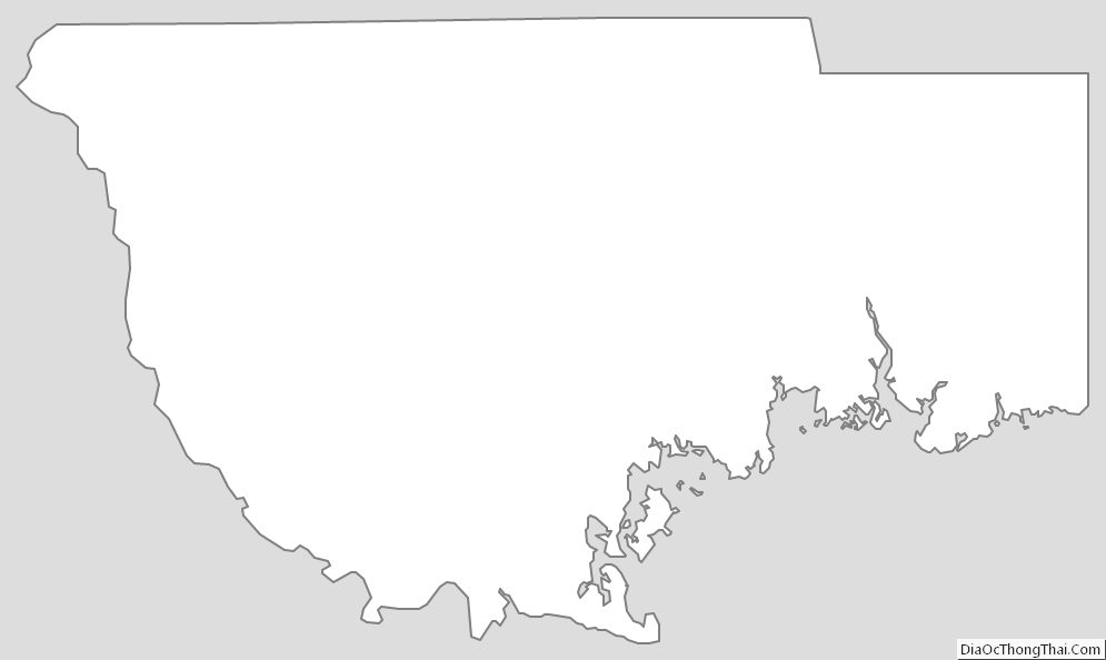
Wakulla County Outline Map