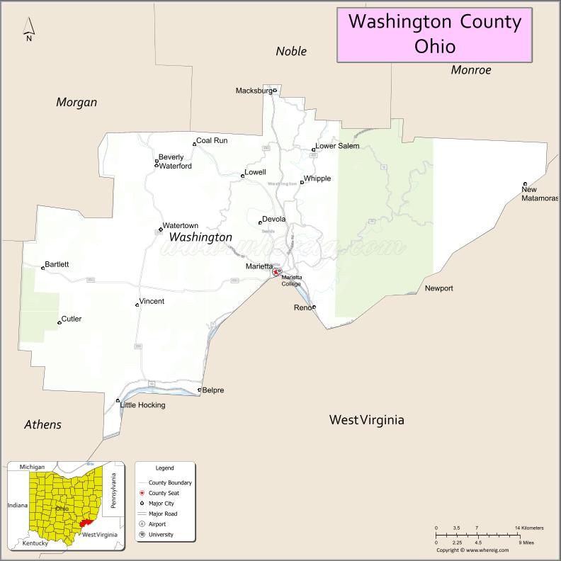
Washington County is a county located in the southeastern part of the U.S. state of Ohio. As of the 2020 census, the population was 59,711. Its county seat is Marietta. The county, the oldest in the state, is named for George Washington. Washington County comprises the Marietta, OH Micropolitan Statistical Area, which is also included in the Parkersburg-Marietta-Vienna, WV-OH Combined Statistical Area.
| Name: | Washington County |
|---|---|
| FIPS code: | 39-167 |
| State: | Ohio |
| Founded: | July 27, 1788 |
| Named for: | George Washington |
| Seat: | Marietta |
| Largest city: | Marietta |
| Total Area: | 640 sq mi (1,700 km²) |
| Land Area: | 632 sq mi (1,640 km²) |
| Total Population: | 59,711 |
| Population Density: | 93/sq mi (36/km²) |
| Time zone: | UTC−5 (Eastern) |
| Summer Time Zone (DST): | UTC−4 (EDT) |
| Website: | www.washingtongov.org |
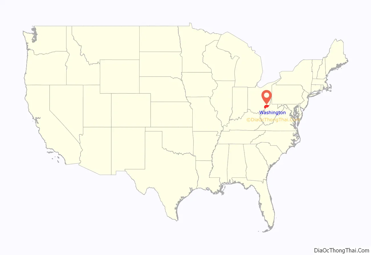
Washington County location map. Where is Washington County?

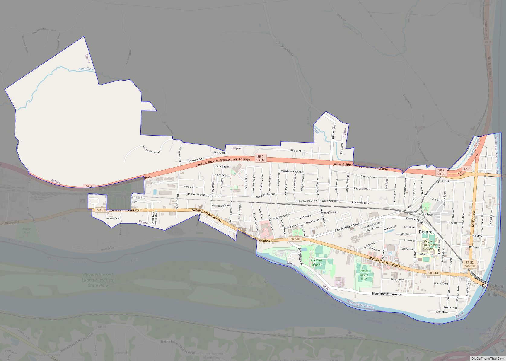
Washington County Road Map
Geography
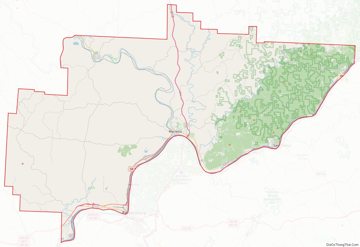
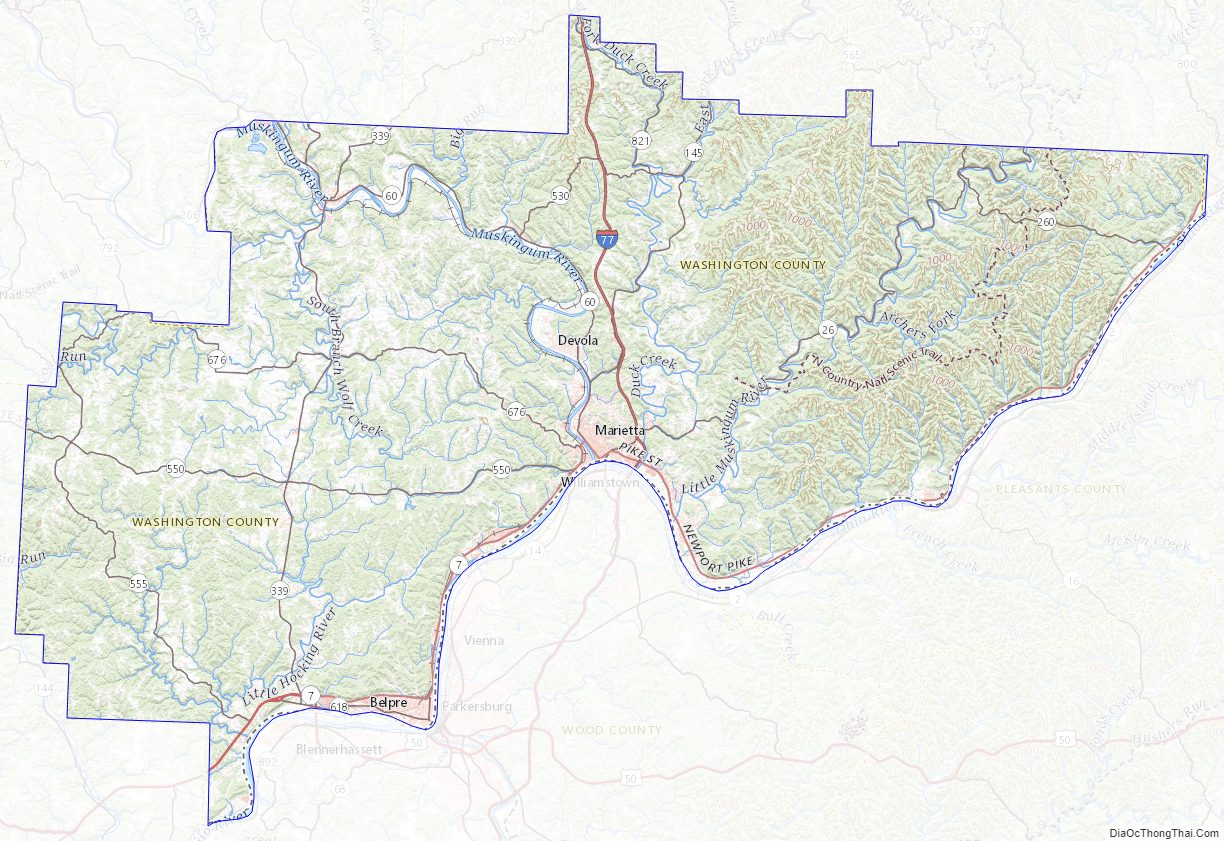
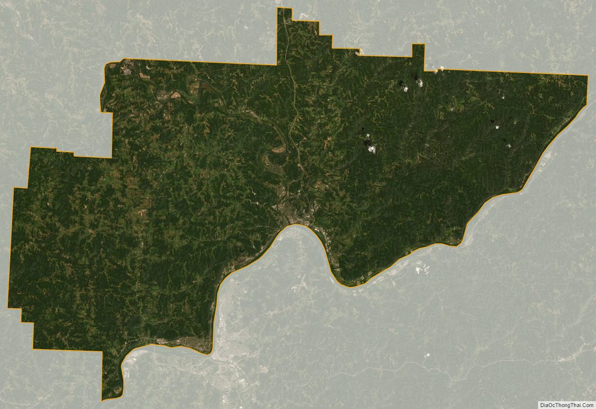
According to the U.S. Census Bureau, the county has a total area of 640 square miles (1,700 km), of which 632 square miles (1,640 km) is land and 8.0 square miles (21 km) (1.3%) is water. It is the fifth-largest county in Ohio by land area.
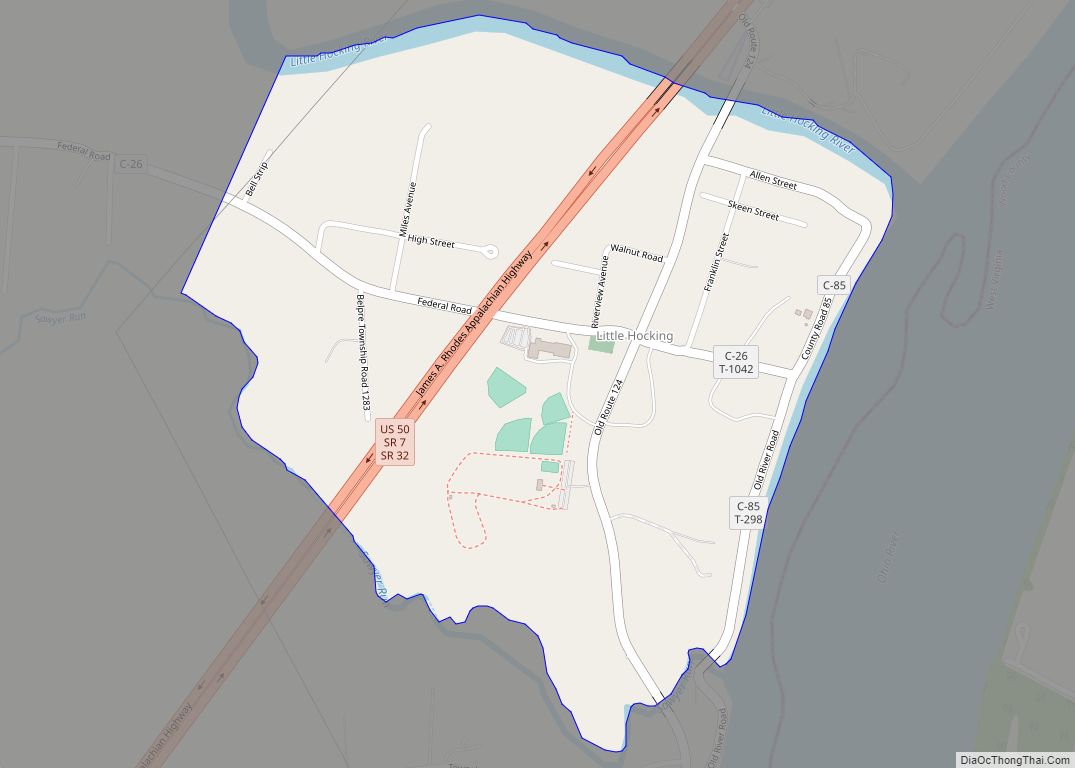
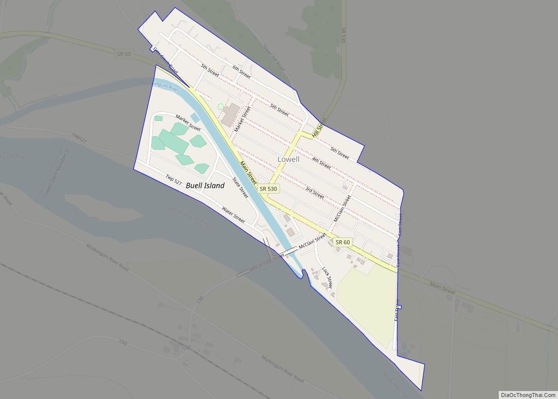
Washington County’s southern and eastern boundary is the Ohio River. The Muskingum River, Little Muskingum River, Duck Creek, and the Little Hocking River flow through the county to the Ohio River.
Adjacent counties
- Noble County (north)
- Monroe County (northeast)
- Tyler County, West Virginia (east)
- Pleasants County, West Virginia (southeast)
- Wood County, West Virginia (south)
- Athens County (southwest)
- Morgan County (northwest)
Major highways
- I-77
- US 50
- SR 7
- SR 26
- SR 60
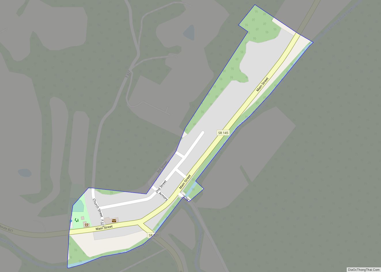
- SR 145
- SR 260
- SR 339
- SR 530
- SR 550
- SR 555
- SR 676
- SR 821
Protected areas
- Wayne National Forest (part)
- Boord State Nature Preserve
Washington County Topographic Map
Washington County Satellite Map
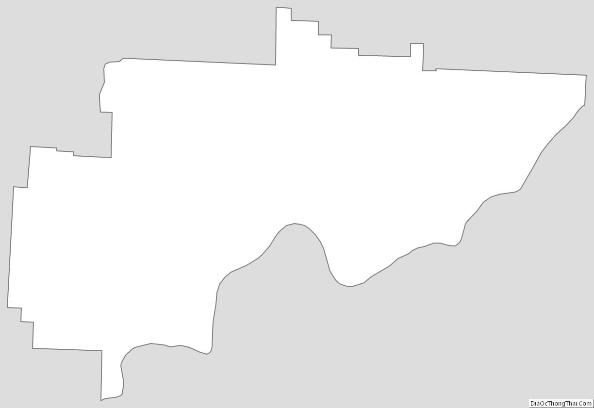
Washington County Outline Map