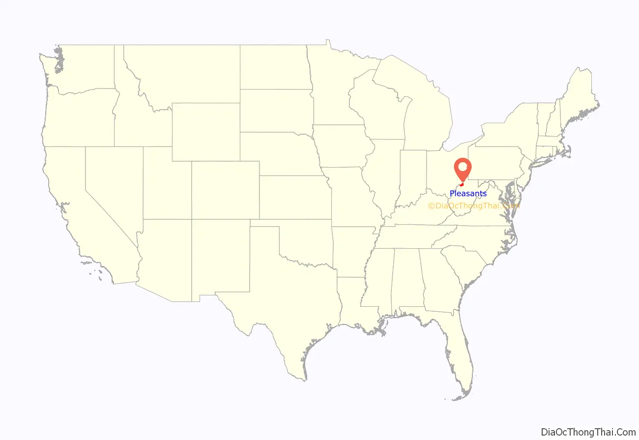
Pleasants County is a county located in the U.S. state of West Virginia. At the 2020 census, the population was 7,653. Its county seat is St. Marys.
| Name: | Pleasants County |
|---|---|
| FIPS code: | 54-073 |
| State: | West Virginia |
| Founded: | March 29, 1851 |
| Named for: | James Pleasants |
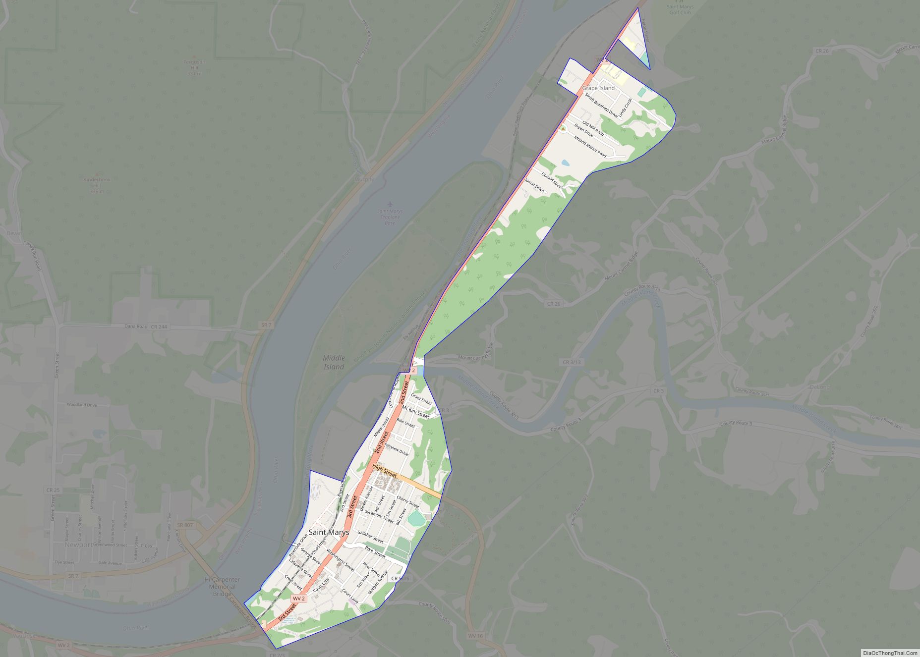
| Seat: | St. Marys |
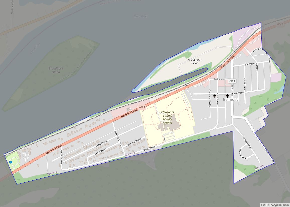
| Largest city: | St. Marys |
| Total Area: | 135 sq mi (350 km²) |
| Land Area: | 130 sq mi (300 km²) |
| Total Population: | 7,653 |
| Population Density: | 57/sq mi (22/km²) |
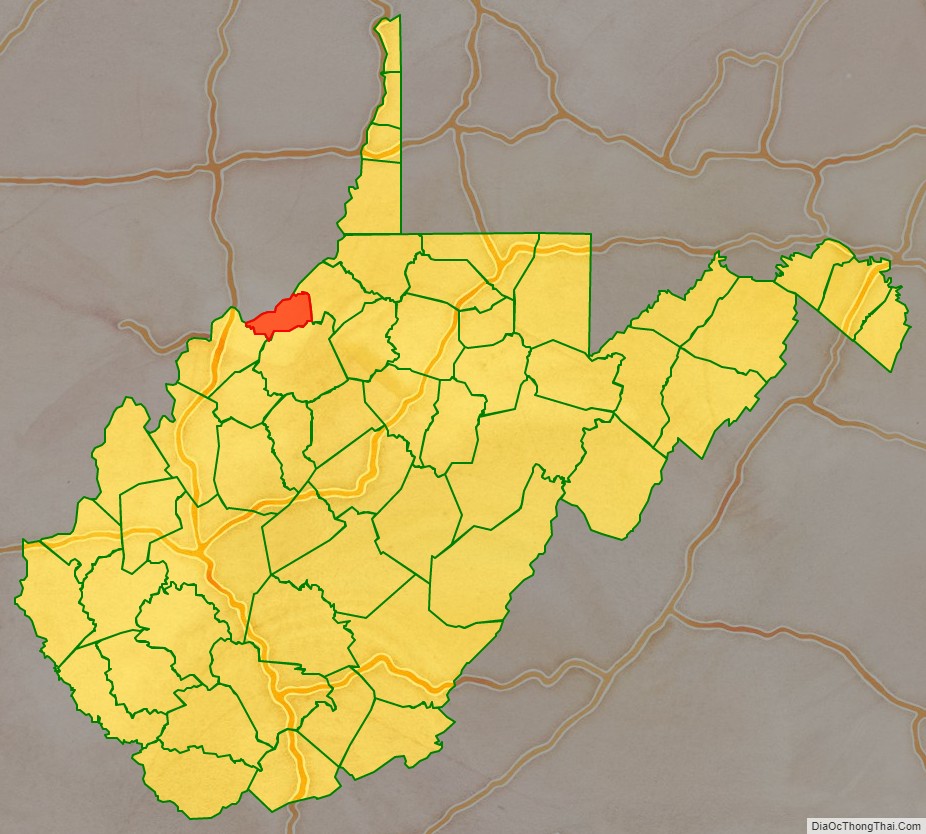
Pleasants County location map. Where is Pleasants County?
History
Pleasants County was formed by the Virginia General Assembly from portions of adjacent Wood, Ritchie and Tyler counties on March 29, 1851. The county’s namesake is James Pleasants, Jr., an esteemed former US Senator and Virginia Governor. On June 20, 1863, at the height of the Civil War, Pleasants County was one of fifty Virginia counties that entered the Union as the state of West Virginia.
In 1863, West Virginia’s counties were divided into civil townships, with the intention of encouraging local government. This proved impractical in the heavily rural state, and in 1872 the townships were converted into magisterial districts. Pleasants County was divided into six districts: Grant, Jefferson, Lafayette, McKim, Union, and Washington. These remained largely unchanged for over a century, but in the 1980s the six historic magisterial districts were consolidated into four new districts: District A, District B, District C, and District D.
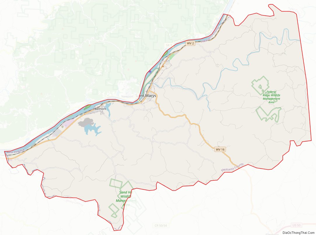
Pleasants County Road Map
Geography
According to the United States Census Bureau, the county has a total area of 135 square miles (350 km), of which 130 square miles (340 km) is land and 4.4 square miles (11 km) (3.3%) is water. It is the fourth-smallest county in West Virginia by area.
Major highways
- West Virginia Route 2
- West Virginia Route 16
- West Virginia Route 807
Adjacent counties
- Washington County, Ohio (north)
- Tyler County (east)
- Ritchie County (southeast)
- Wood County (southwest)
National protected area
- Ohio River Islands National Wildlife Refuge (part)
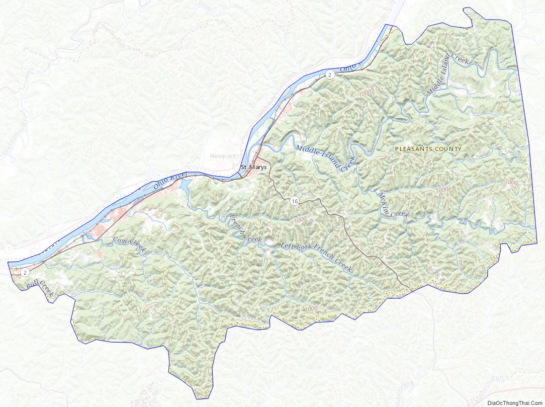
Pleasants County Topographic Map
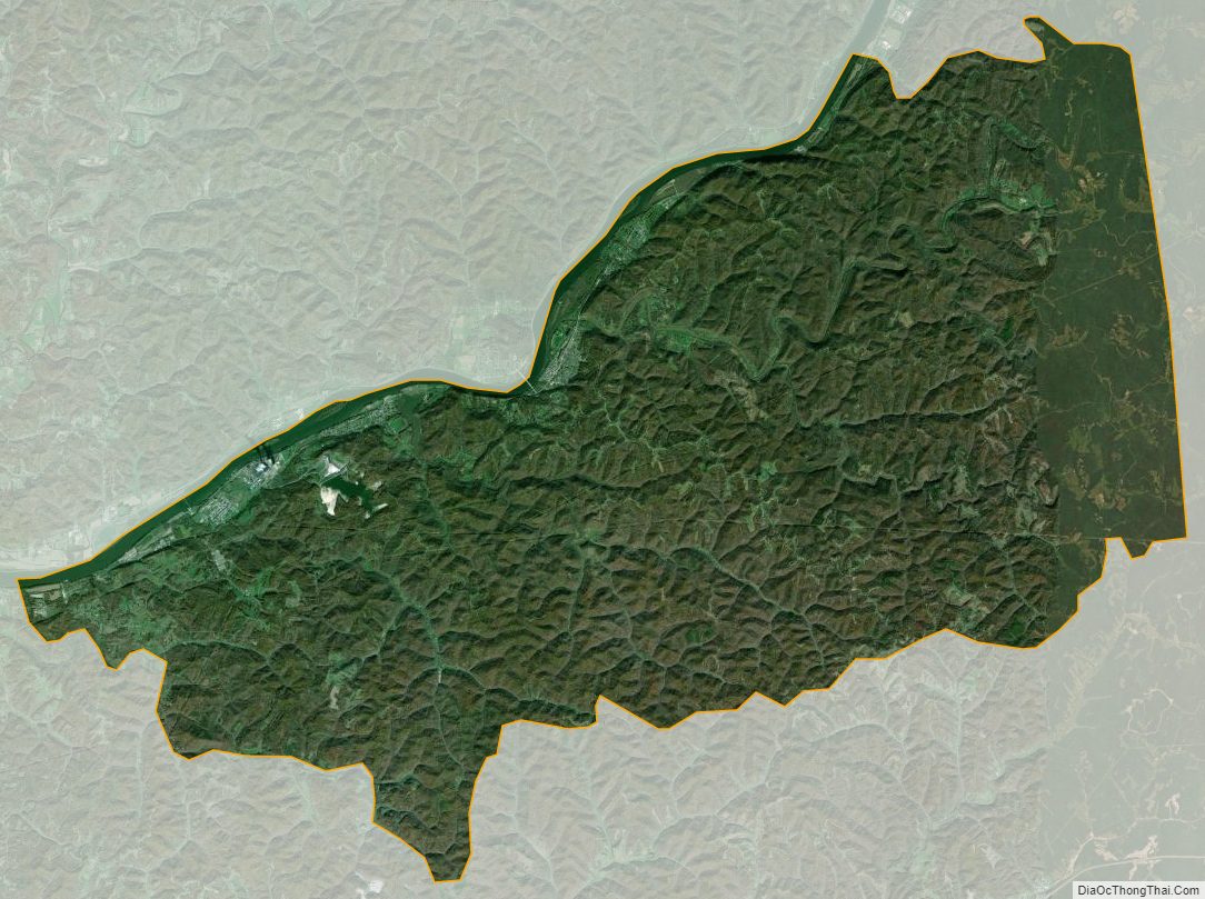
Pleasants County Satellite Map
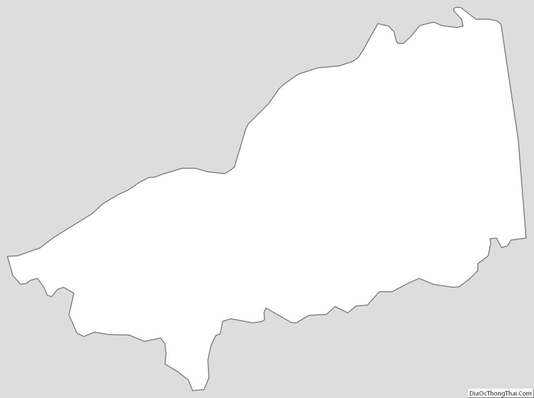
Pleasants County Outline Map