| Name: | Wood County |
|---|---|
| FIPS code: | 54-107 |
| State: | West Virginia |
| Founded: | December 21, 1798 |
| Named for: | James Wood |
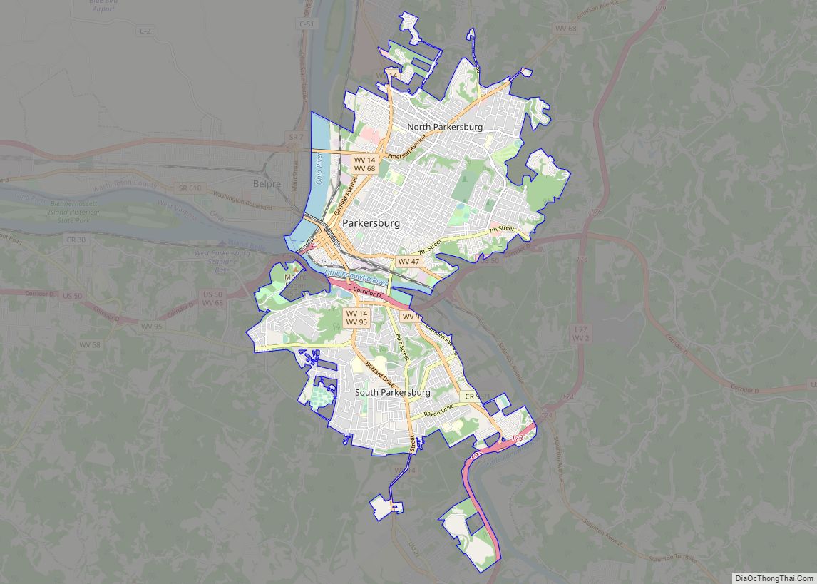
| Seat: | Parkersburg |
| Largest city: | Parkersburg |
| Total Area: | 377 sq mi (980 km²) |
| Land Area: | 367 sq mi (950 km²) |
| Total Population: | 84,296 |
| Population Density: | 220/sq mi (86/km²) |
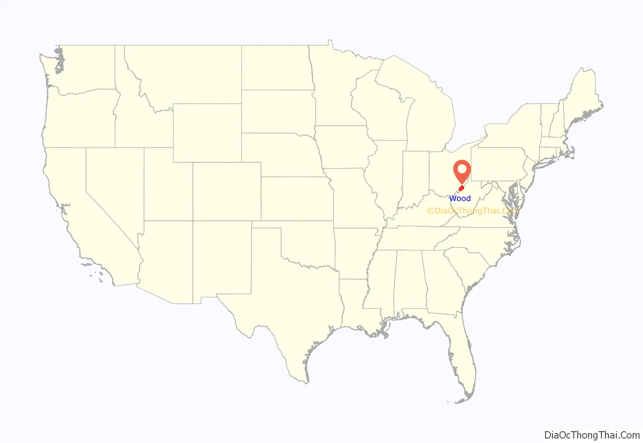
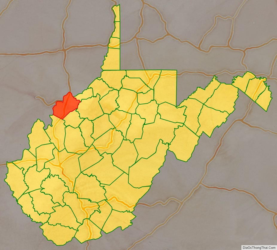
Wood County location map. Where is Wood County?
History
Wood County was formed on December 21, 1798, from portions of Harrison County. It was named for the then Governor of Virginia (1796–99), James Wood, formerly a brigadier general in the American Revolutionary War.
In 1861, Virginia seceded from the Union. The delegates of the 40 western counties who opposed secession formed their own government and seceded from the Confederate state of Virginia. West Virginia was granted statehood in 1863.
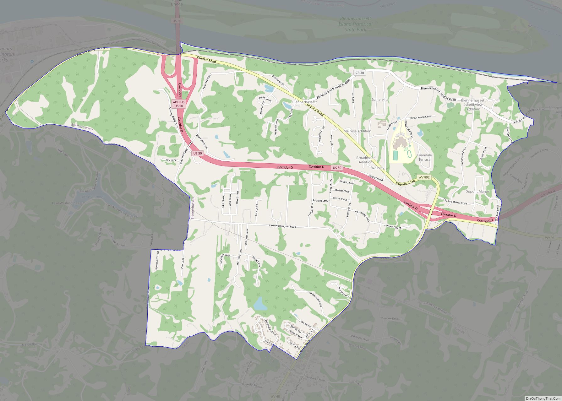
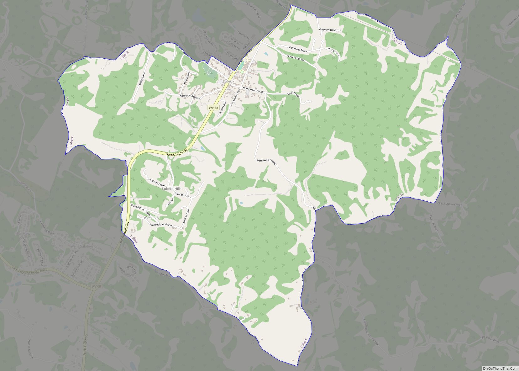
Later that year, West Virginia’s counties were divided into civil townships, with the intention of encouraging local government. This proved impractical in the heavily rural state, and in 1872 the townships were converted into magisterial districts. Wood County was divided into ten districts: Clay, Harris, Lubeck, Parkersburg, Slate, Steele, Tygart, Union, Walker, and Williams.
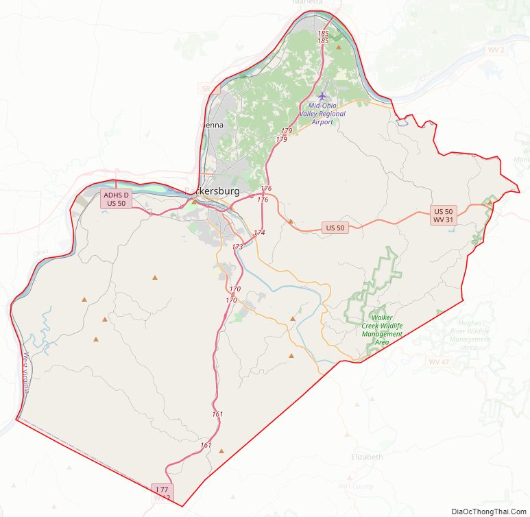
Wood County Road Map
Geography
According to the United States Census Bureau, the county has a total area of 377 square miles (980 km), of which 366 square miles (950 km) is land and 11 square miles (28 km) (2.8%) is water.
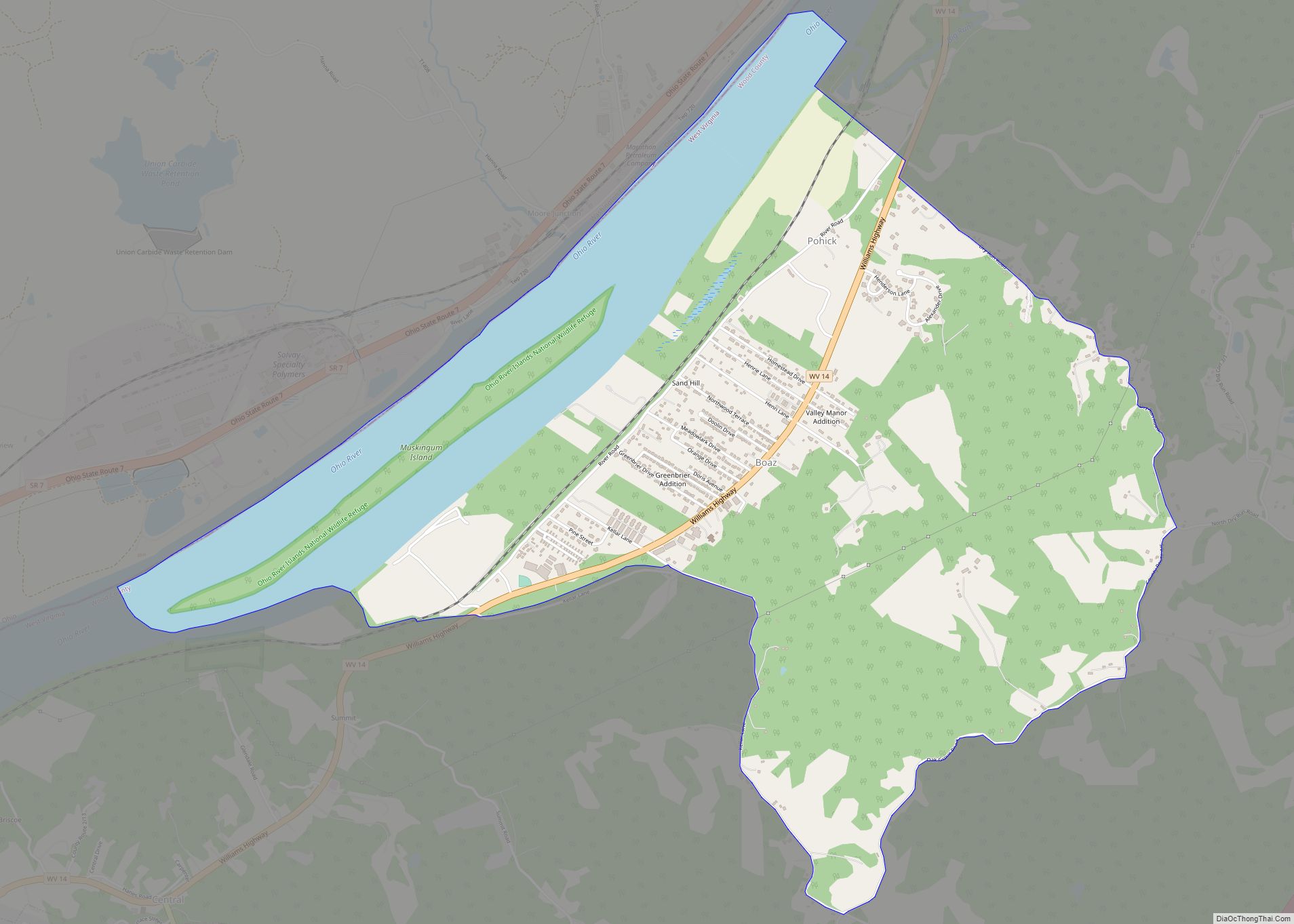
Wood County’s northern and western boundary is the Ohio River. The Little Kanawha River flows northwestward through the county to its mouth at the Ohio River in Parkersburg. Tributaries of the Little Kanawha River in Wood County include Worthington Creek, Tygart Creek, and Walker Creek.
Major highways
Adjacent counties
- Washington County, Ohio (north)
- Pleasants County (northeast)
- Ritchie County (east)
- Wirt County (southeast)
- Jackson County (south)
- Meigs County, Ohio (southwest)
- Athens County, Ohio (west)
National protected area
- Ohio River Islands National Wildlife Refuge (part)
Wood County Topographic Map
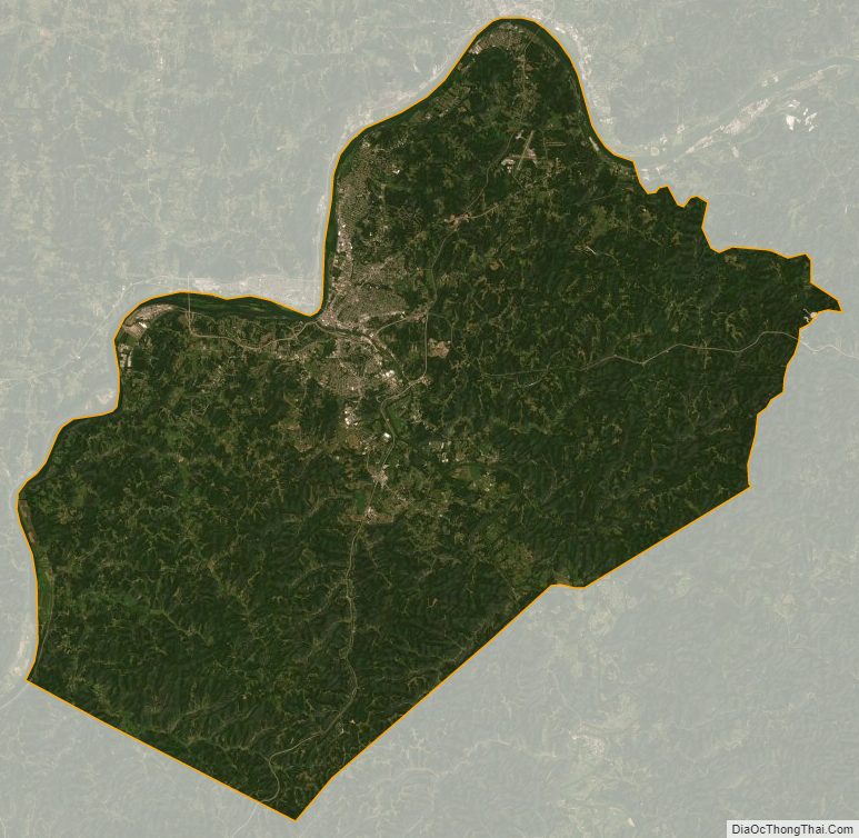
Wood County Satellite Map
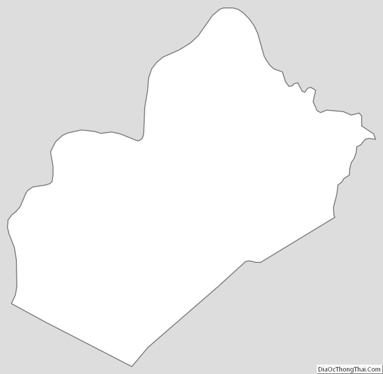
Wood County Outline Map