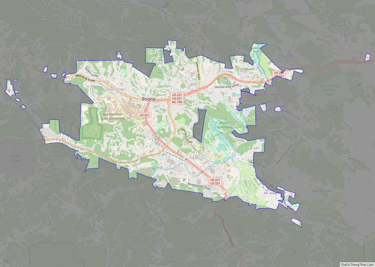
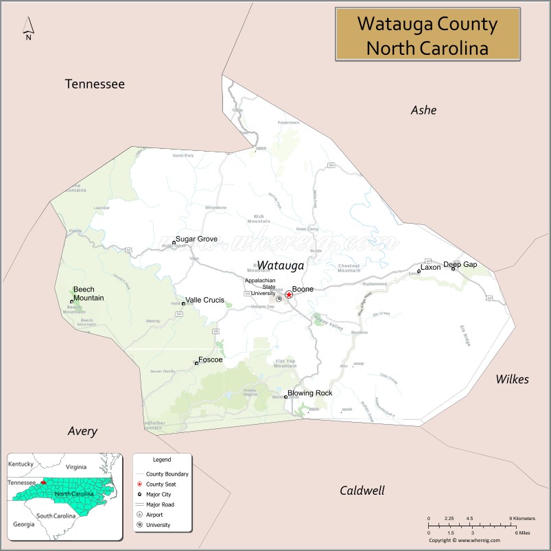
Watauga County (/wəˈtɔːɡə/ wə-TAW-gə) is a county located in the U.S. state of North Carolina. As of the 2020 census, the population was 54,086. Its county seat and largest town is Boone. The county is in an exceptionally mountainous region. It is the home of Appalachian State University, which has approximately 20,023 students as of August 20, 2020. Watauga County comprises the Boone, NC Micropolitan Statistical Area.
| Name: | Watauga County |
|---|---|
| FIPS code: | 37-189 |
| State: | North Carolina |
| Founded: | 1849 |
| Named for: | Watauga River |
| Seat: | Boone |
| Largest town: | Boone |
| Total Area: | 312.56 sq mi (809.5 km²) |
| Land Area: | 312.56 sq mi (809.5 km²) |
| Total Population: | 54,234 |
| Population Density: | 173.5/sq mi (67.0/km²) |
| Time zone: | UTC−5 (Eastern) |
| Summer Time Zone (DST): | UTC−4 (EDT) |
| Website: | www.wataugacounty.org |
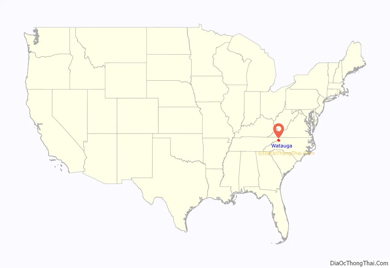
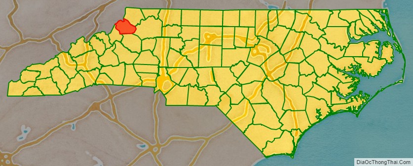
Watauga County location map. Where is Watauga County?
History
The county was formed in 1849 from parts of Ashe, Caldwell, Wilkes, and Yancey counties. It was named for the Watauga River, whose name is said to be a Native American word. Meanings include “beautiful water,” “whispering waters,” “village of many springs,” and “river of islands.”
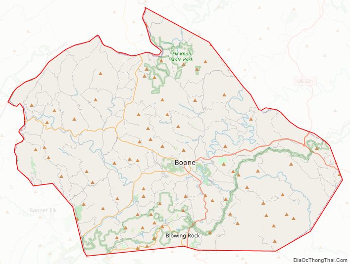
Watauga County Road Map
Geography
According to the U.S. Census Bureau, the county has a total area of 312.56 square miles (809.5 km), of which 313 square miles (810 km) is land and 0.9 square miles (2.3 km) (0.3%) is water.
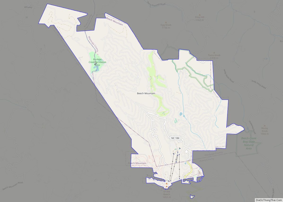
Watauga County is extremely mountainous, and all of the county’s terrain is located within the Appalachian Mountains range. The highest point in the county is Calloway Peak, the highest peak of Grandfather Mountain (shared with the adjacent counties of Avery and Caldwell), which rises to 5,964 feet (1,818 meters) above sea level. At an elevation of 5,506 feet (1,678 meters) above sea level, Beech Mountain is the highest incorporated community east of the Mississippi River. Boone, the county’s largest city and county seat, has the highest elevation (3,333 feet) of any city over 10,000 population in the Eastern United States.
Isolated by mountainous terrain from the remainder of North Carolina to the east, Watauga County was described in the 19th and early 20th centuries as one of the Lost Provinces of North Carolina.
National protected areas
- Blue Ridge Parkway (part)
- Cherokee National Forest (part)
State and local protected areas
- Beech Creek Bog State Natural Area
- Elk Knob State Park (part)
- Foscoe Grandfather Community Center
- Grandfather Mountain State Park (part)
- Green Valley Community Park
- Julian Price Memorial Park
- Moses H. Cone Memorial Park
- Turtle Island Preserve
Major water bodies
- Buckeye Creek
- Craborchard Creek
- Howard Creek
- Laurel Creek
- Meadow Creek
- North Fork New River
- Sharp Creek
- South Fork New River
- Watauga River
- Yadkin River
Adjacent counties
- Ashe County – northeast
- Wilkes County – east
- Caldwell County – south
- Avery County – southwest
- Johnson County, Tennessee – northwest
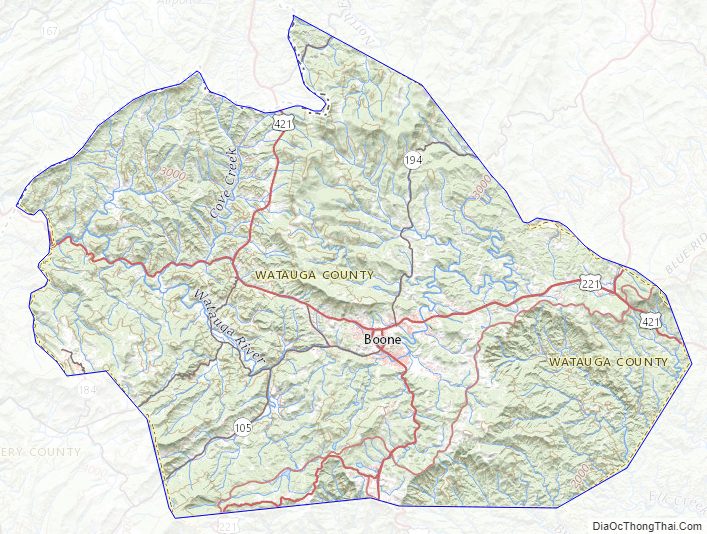
Watauga County Topographic Map
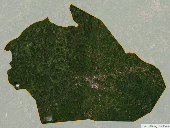
Watauga County Satellite Map
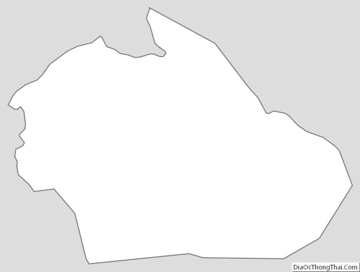
Watauga County Outline Map