Boone is a town in and the county seat of Watauga County, North Carolina, United States. Located in the Blue Ridge Mountains of western North Carolina, Boone is the home of Appalachian State University and the headquarters for the disaster and medical relief organization Samaritan’s Purse. The population was 19,092 at the 2020 census.
The town is named for famous American pioneer and explorer Daniel Boone, and every summer from 1952 has hosted an outdoor amphitheatre drama, Horn in the West, portraying the British settlement of the area during the American Revolutionary War and featuring the contributions of its namesake. It is the largest community and the economic hub of the seven-county region of Western North Carolina known as the High Country.
| Name: | Boone town |
|---|---|
| LSAD Code: | 43 |
| LSAD Description: | town (suffix) |
| State: | North Carolina |
| County: | Watauga County |
| Incorporated: | 1872 |
| Elevation: | 3,333 ft (1,015.9 m) |
| Total Area: | 6.35 sq mi (16.45 km²) |
| Land Area: | 6.33 sq mi (16.40 km²) |
| Water Area: | 0.02 sq mi (0.05 km²) |
| Total Population: | 19,092 |
| Population Density: | 3,014.68/sq mi (1,164.00/km²) |
| ZIP code: | 28607-28608 |
| Area code: | 828 |
| FIPS code: | 3707080 |
| GNISfeature ID: | 1009539 |
| Website: | www.townofboone.net |
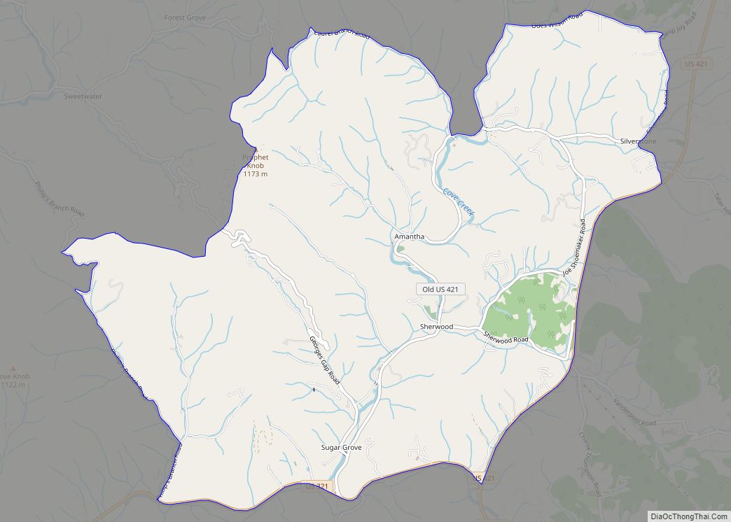
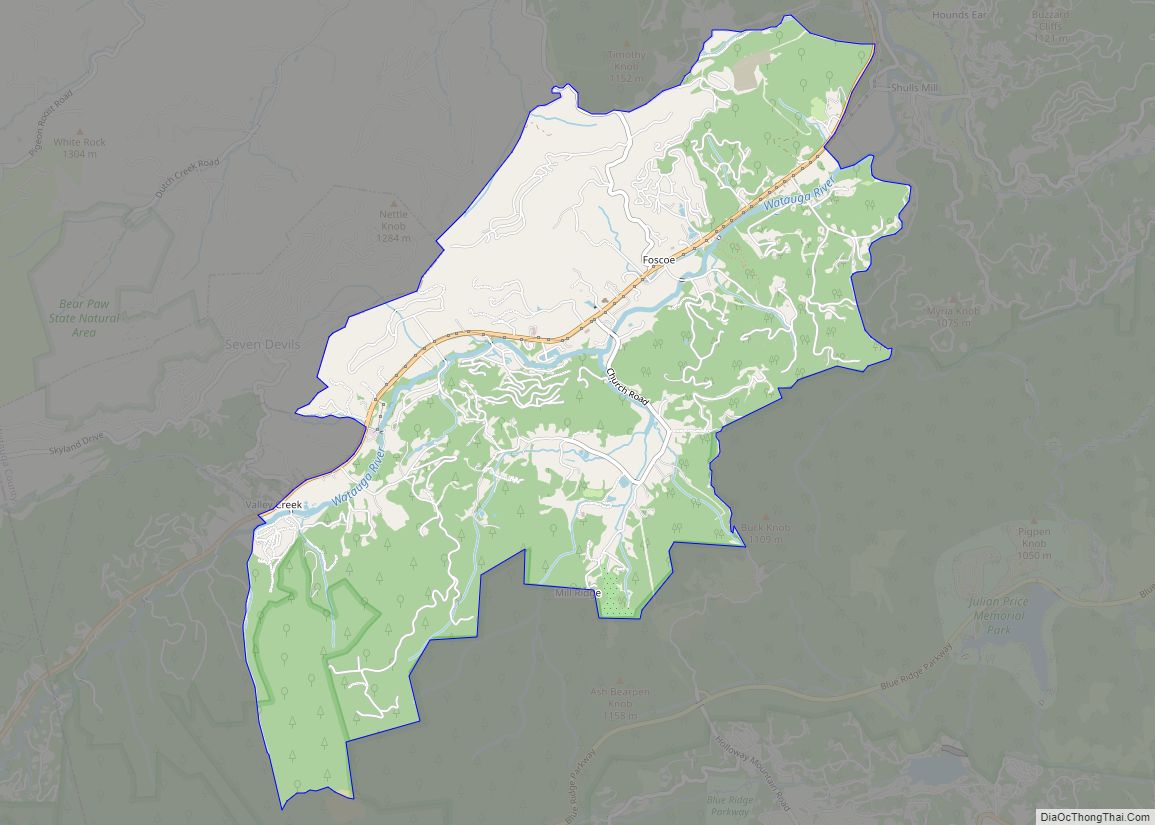
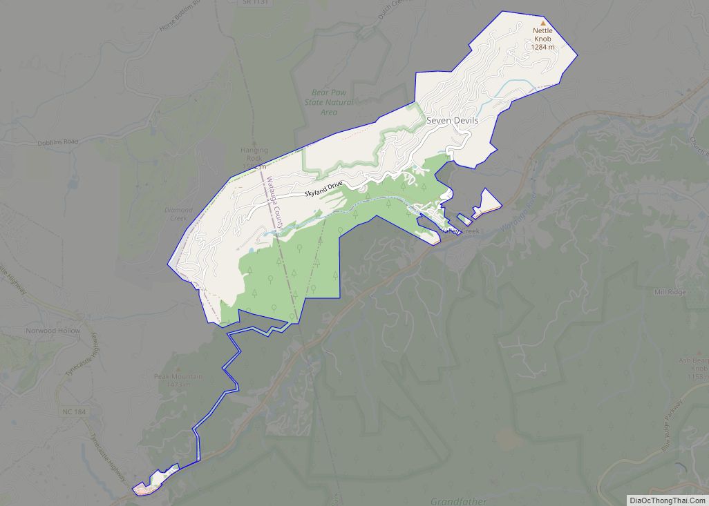
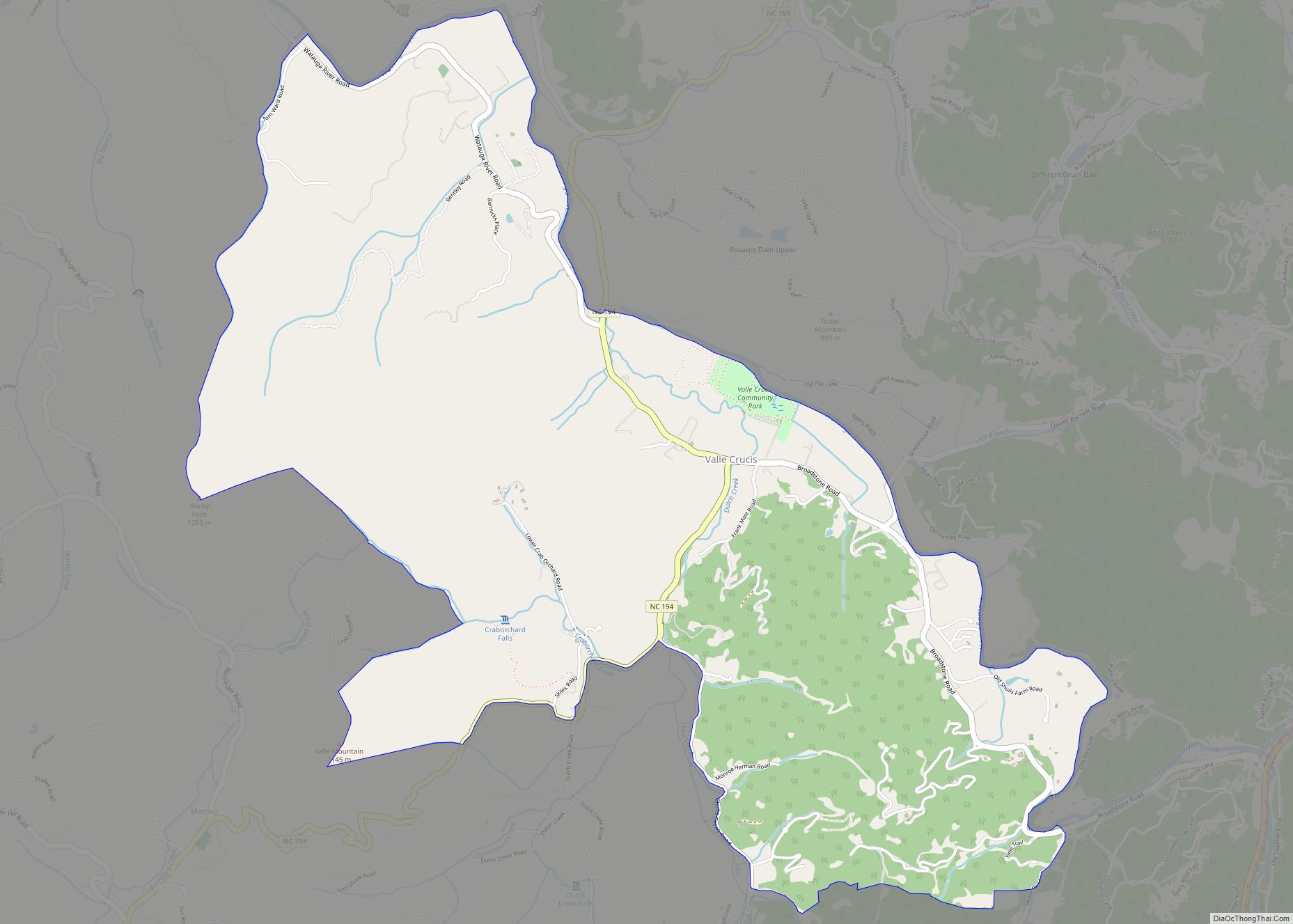
Online Interactive Map
Click on ![]() to view map in "full screen" mode.
to view map in "full screen" mode.
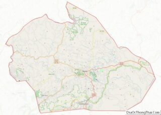
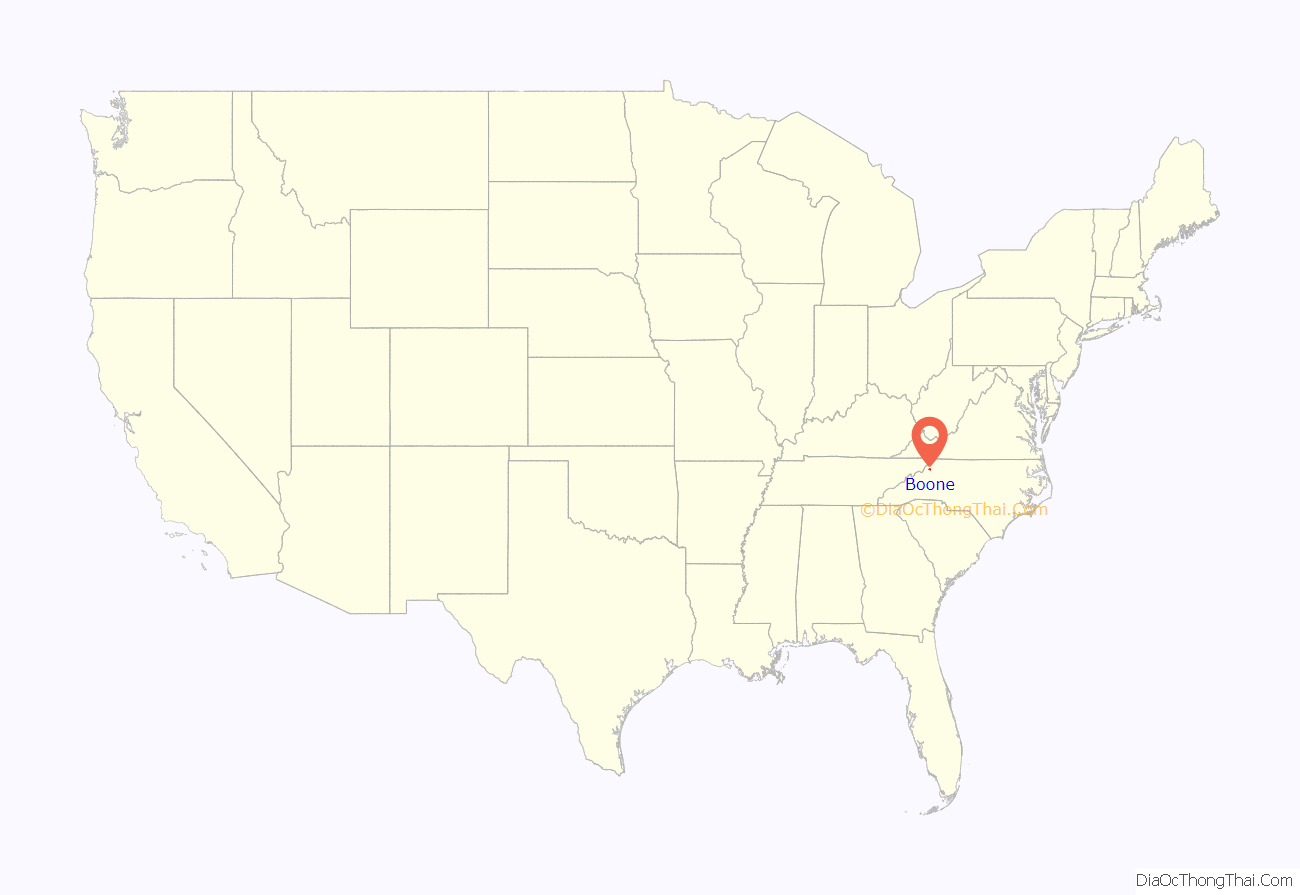
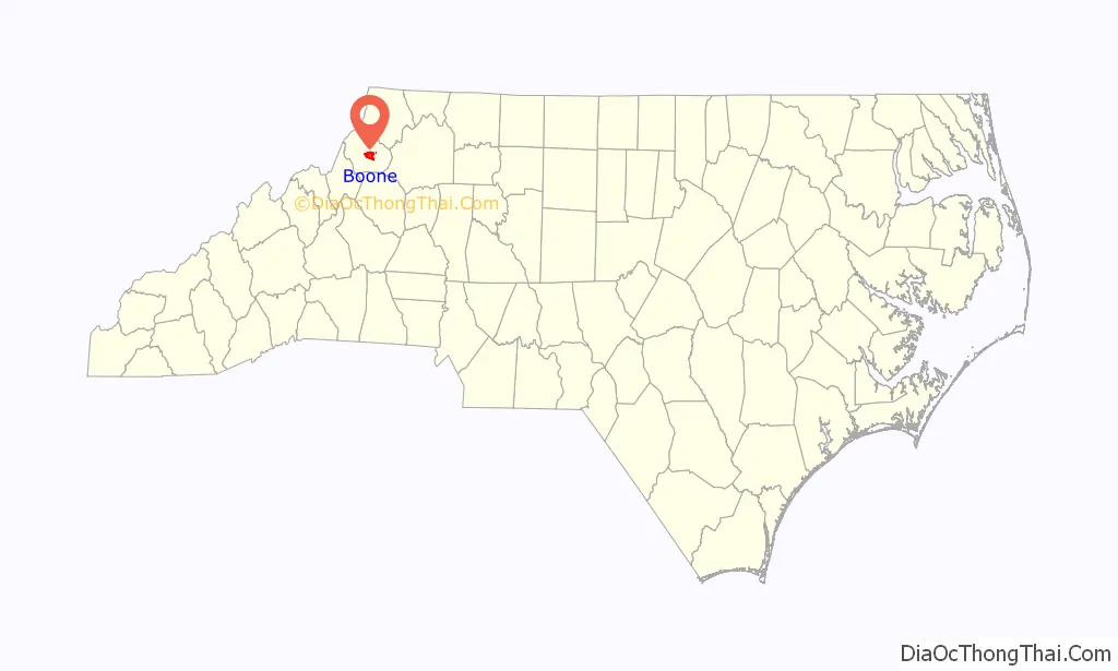
Boone location map. Where is Boone town?
History
Boone took its name from the famous pioneer and explorer Daniel Boone, who on several occasions camped at a site generally agreed to be within the present city limits. Daniel’s nephews, Jesse and Jonathan (sons of brother Israel Boone), were members of the town’s first church, Three Forks Baptist, still in existence today.
Boone was served by the narrow gauge East Tennessee and Western North Carolina Railroad (nicknamed “Tweetsie”) until the flood of 1940. The flood washed away much of the tracks and it was decided not to replace them.
Boone is the home of Appalachian State University, a constituent member of the University of North Carolina. Appalachian State is the sixth-largest university in the seventeen-campus system. Caldwell Community College & Technical Institute also operates a satellite campus in Boone.
“Horn in the West” is a dramatization of the life and times of the early settlers of the mountain area. It features Daniel Boone as one of its characters, and has been performed in an outdoor amphitheater near the town every summer since 1952, except for when COVID-19 necessitated canceling the 2020 performances. The original actor in the role of “Daniel Boone” was Ned Austin. His “Hollywood Star” stands on a pedestal on King Street in downtown Boone. He was followed in the role by Glenn Causey, who portrayed the rugged frontiersman for 41 years, and whose image is still seen in many of the depictions of Boone featured in the area today.
Boone is notable for being home to the Junaluska community. Located in the hills just north of Downtown Boone, a free black community has existed in the area since before the Civil War. Although integration in the mid-20th century led to many of the businesses in the neighborhood closing in favor of their downtown counterparts, descendants of the original inhabitants still live in the neighborhood. Junaluska is also home to one of the few majority-African American Mennonite Brethren congregations.
Boone is a center for bluegrass musicians and Appalachian storytellers. Notable artists associated with Boone include the late Grammy Award-winning bluegrass guitar player Doc Watson, and the late guitarist Michael Houser, one of the founding members of and the lead guitarist for the band Widespread Panic, as well as Old Crow Medicine Show, The Blue Rags, and Eric Church, all who are Boone natives.
The Blair Farm, Daniel Boone Hotel, Jones House, John Smith Miller House, and US Post Office-Boone are listed on the National Register of Historic Places.
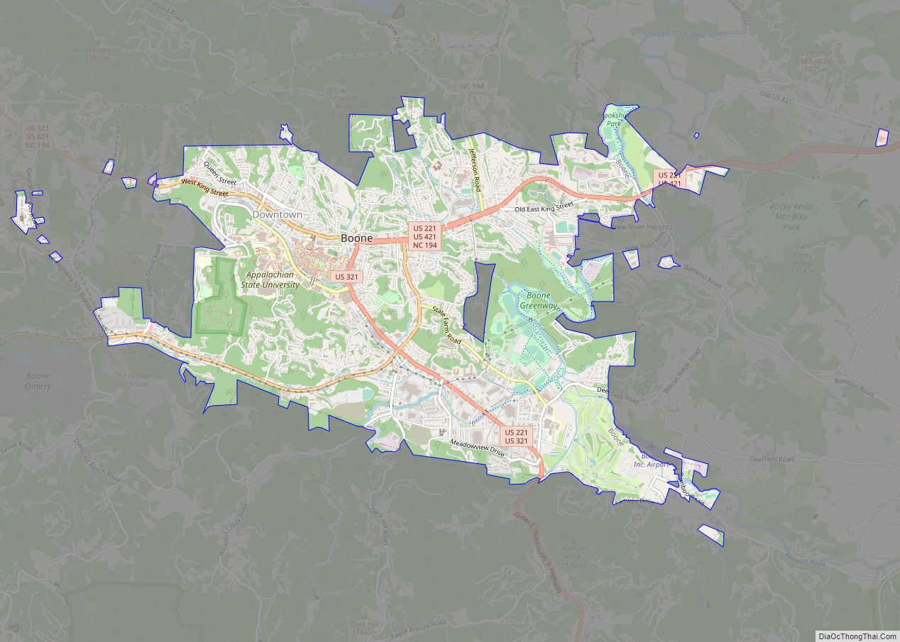
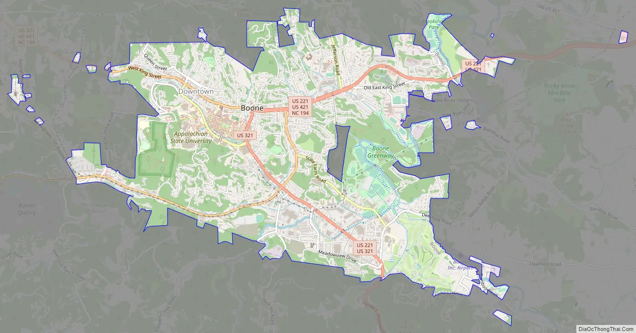
Boone Road Map
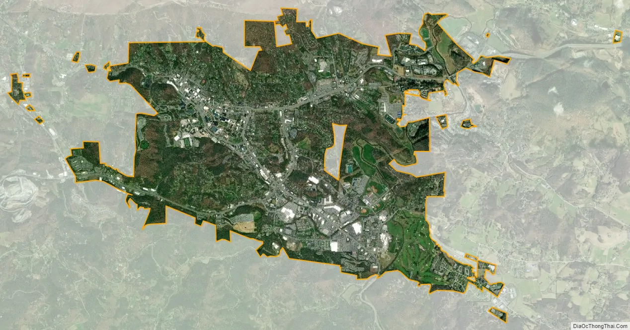
Boone city Satellite Map
Geography
Boone is located at 36°12′41″N 81°40′7″W / 36.21139°N 81.66861°W / 36.21139; -81.66861 (36.211364, −81.668657) and has an elevation of 3,333 feet (1,016 m) above sea level. An earlier survey gave the elevation as 3,332 ft and since then it has been published as having an elevation of 3,333 ft (1,016 m). Boone has the highest elevation of any town of its size (over 10,000 population) east of the Mississippi River. As such, Boone features, depending on the isotherm used, a humid continental climate (Köppen Dfb), a rarity for the Southeastern United States, bordering on a subtropical highland climate (Cfb) and straddles the boundary between USDA Plant Hardiness Zones 6B and 7A; the elevation also results in enhanced precipitation, with 59.13 inches (1,500 mm) of average annual precipitation. Compared to the lower elevations of the Carolinas, winters are long and cold, with frequent sleet and snowfall. The daily average temperature in January is 31.5 °F (−0.3 °C), which gives Boone a winter climate more similar to coastal southern New England rather than the Southeast, where a humid subtropical climate (Cfa) predominates. Blizzard-like conditions are not unusual during many winters. Summers are warm, but far cooler and less humid than lower regions to the south and east, with a July daily average temperature of 68.4 °F (20.2 °C). Boone typically receives on average nearly 25 inches (64 cm) of snowfall annually, far higher than the lowland areas in the rest of North Carolina. On January 21, 1985, the temperature fell to −24 °F (−31 °C).
See also
Map of North Carolina State and its subdivision:- Alamance
- Alexander
- Alleghany
- Anson
- Ashe
- Avery
- Beaufort
- Bertie
- Bladen
- Brunswick
- Buncombe
- Burke
- Cabarrus
- Caldwell
- Camden
- Carteret
- Caswell
- Catawba
- Chatham
- Cherokee
- Chowan
- Clay
- Cleveland
- Columbus
- Craven
- Cumberland
- Currituck
- Dare
- Davidson
- Davie
- Duplin
- Durham
- Edgecombe
- Forsyth
- Franklin
- Gaston
- Gates
- Graham
- Granville
- Greene
- Guilford
- Halifax
- Harnett
- Haywood
- Henderson
- Hertford
- Hoke
- Hyde
- Iredell
- Jackson
- Johnston
- Jones
- Lee
- Lenoir
- Lincoln
- Macon
- Madison
- Martin
- McDowell
- Mecklenburg
- Mitchell
- Montgomery
- Moore
- Nash
- New Hanover
- Northampton
- Onslow
- Orange
- Pamlico
- Pasquotank
- Pender
- Perquimans
- Person
- Pitt
- Polk
- Randolph
- Richmond
- Robeson
- Rockingham
- Rowan
- Rutherford
- Sampson
- Scotland
- Stanly
- Stokes
- Surry
- Swain
- Transylvania
- Tyrrell
- Union
- Vance
- Wake
- Warren
- Washington
- Watauga
- Wayne
- Wilkes
- Wilson
- Yadkin
- Yancey
- Alabama
- Alaska
- Arizona
- Arkansas
- California
- Colorado
- Connecticut
- Delaware
- District of Columbia
- Florida
- Georgia
- Hawaii
- Idaho
- Illinois
- Indiana
- Iowa
- Kansas
- Kentucky
- Louisiana
- Maine
- Maryland
- Massachusetts
- Michigan
- Minnesota
- Mississippi
- Missouri
- Montana
- Nebraska
- Nevada
- New Hampshire
- New Jersey
- New Mexico
- New York
- North Carolina
- North Dakota
- Ohio
- Oklahoma
- Oregon
- Pennsylvania
- Rhode Island
- South Carolina
- South Dakota
- Tennessee
- Texas
- Utah
- Vermont
- Virginia
- Washington
- West Virginia
- Wisconsin
- Wyoming