Wayne County is a county in the U.S. state of Utah. As of the 2010 census, the population was 2,778, making it the fourth-least populous county in Utah. Its county seat is Loa.
| Name: | Wayne County |
|---|---|
| FIPS code: | 49-055 |
| State: | Utah |
| Founded: | March 10, 1892 |
| Named for: | Wayne County, Tennessee |
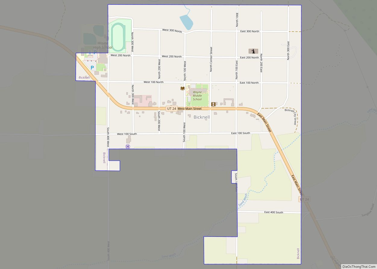
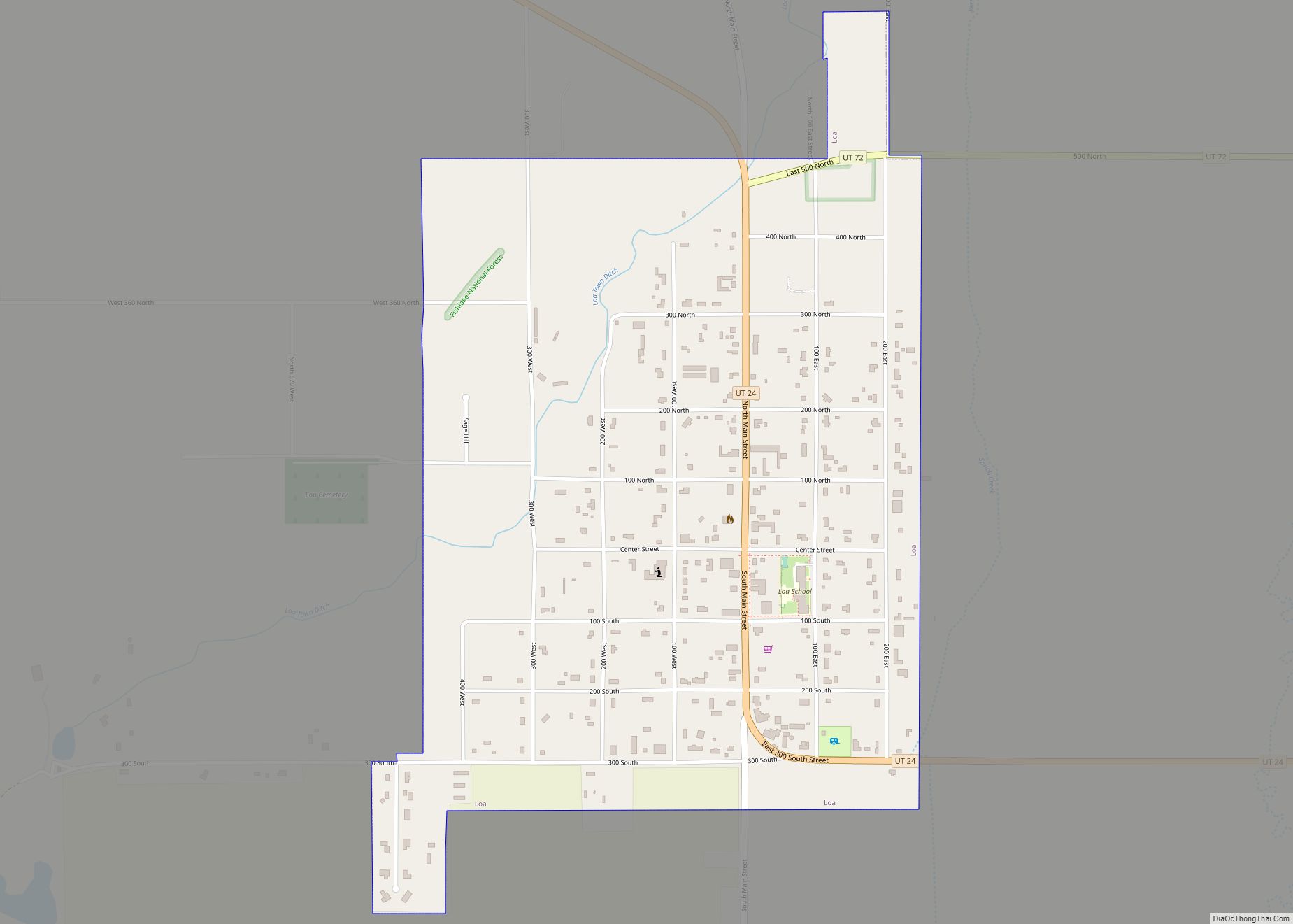
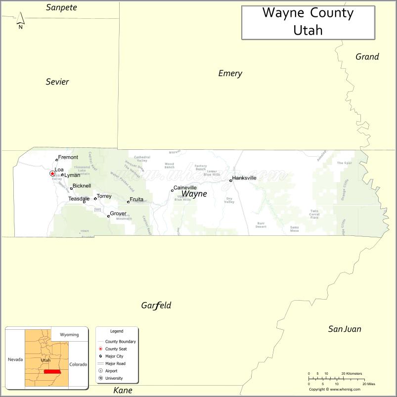
| Seat: | Loa |
| Largest town: | Loa |
| Total Area: | 2,466 sq mi (6,390 km²) |
| Land Area: | 2,461 sq mi (6,370 km²) |
| Total Population: | 2,486 |
| Population Density: | 1.0/sq mi (0.39/km²) |
| Time zone: | UTC−7 (Mountain) |
| Summer Time Zone (DST): | UTC−6 (MDT) |
| Website: | www.waynecountyutah.org |
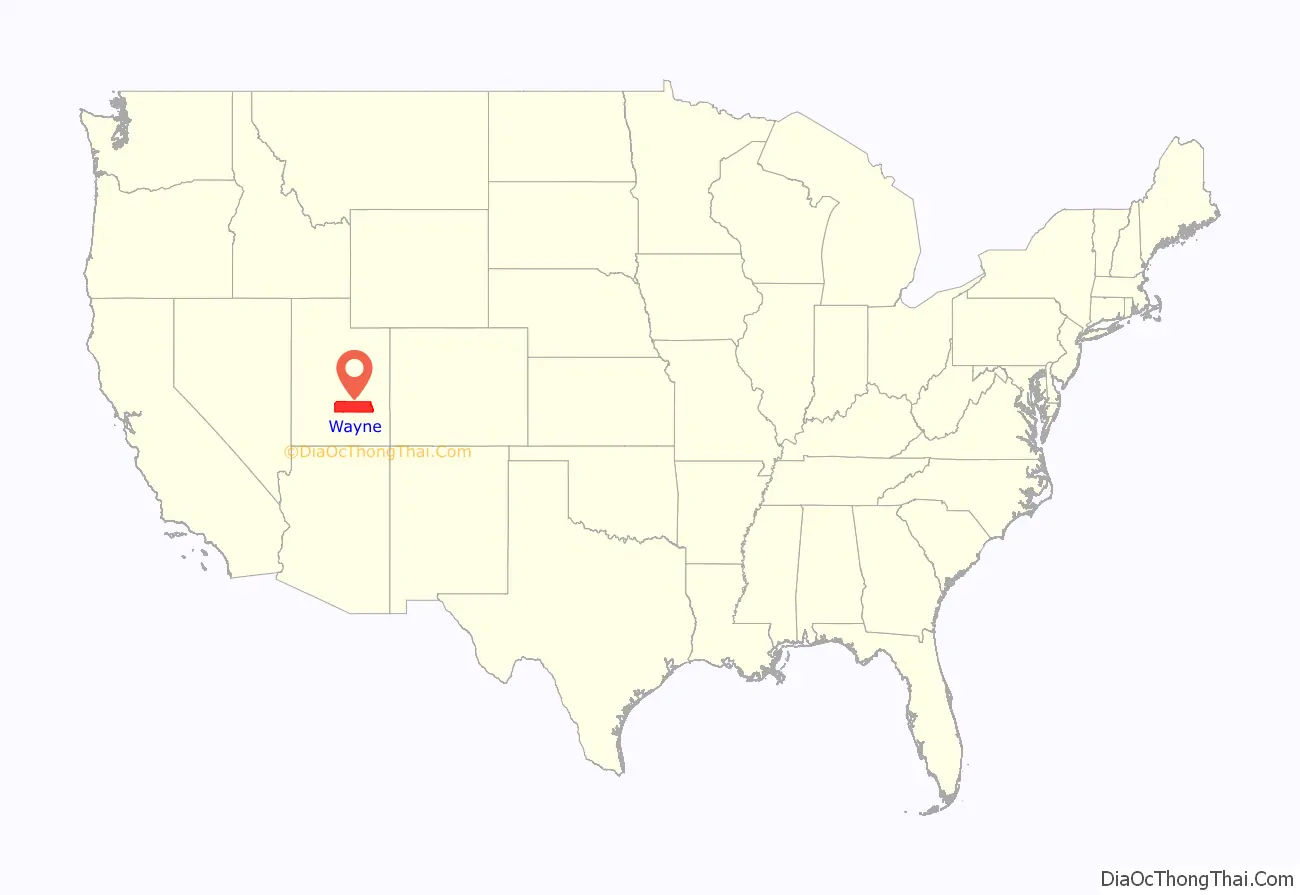
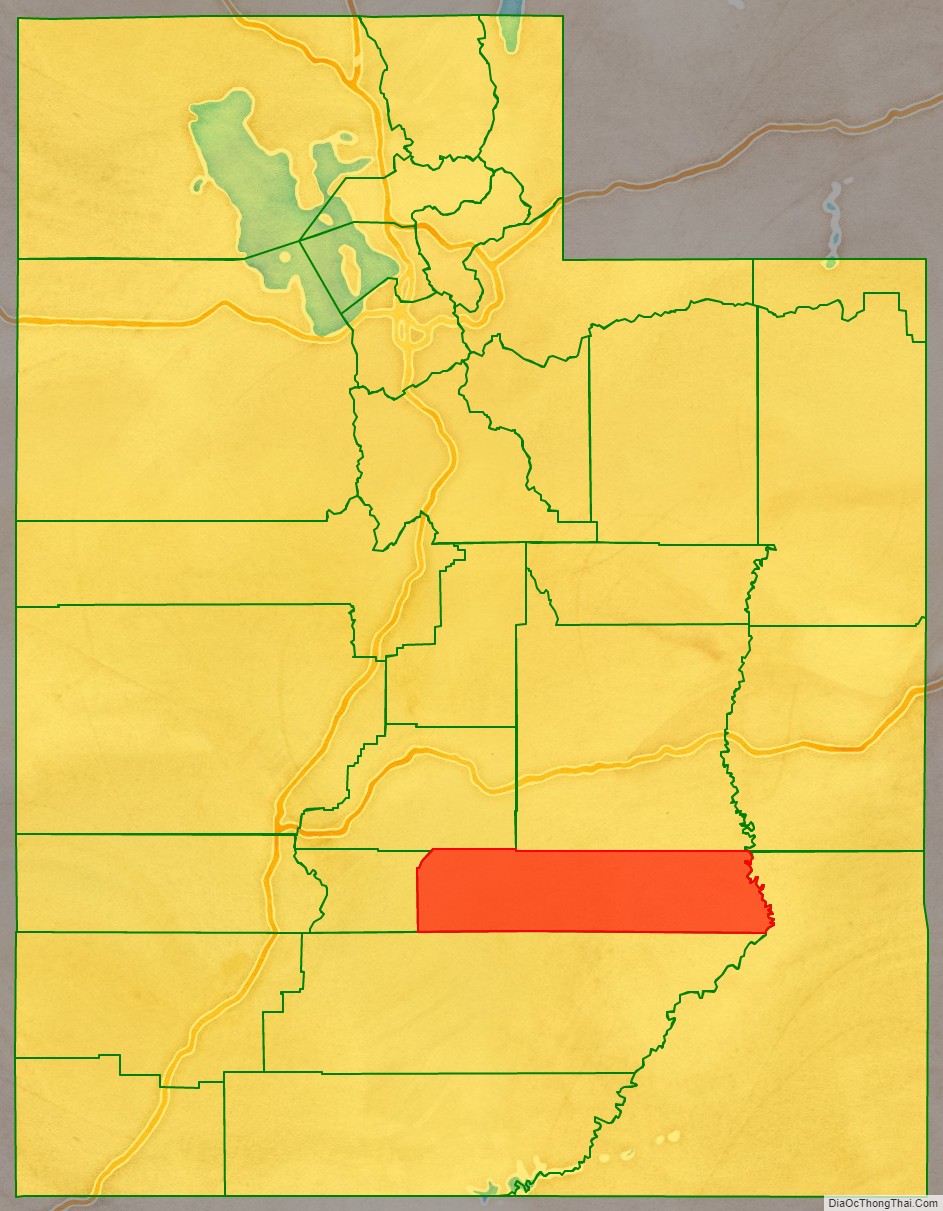
Wayne County location map. Where is Wayne County?
History
Due to its remoteness and harsh terrain, settlements did not appear in the future Wayne County until the 1880s. By 1892, there was enough settlement and enough interest in a separate county (due mainly to the difficulty of accessing the Piute County seat), that Utah Territory passed an act (effective date March 10, 1892) to separate the east portion of Piute into a separate county. The county was named for Wayne County, Tennessee, itself named for Anthony Wayne. The county boundaries have remained unchanged since its creation.
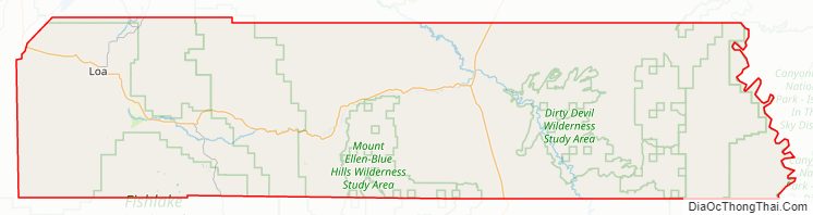
Wayne County Road Map
Geography
The eastern border of Wayne County is delineated by the meanders of the Green River, which flows southward to discharge into the Colorado River. After the two rivers join, the combined southwestern flow forms the remaining portion of the county’s eastern border. The central part of the county is drained by the Fremont River and Muddy Creek. The Fremont begins at Fish Lake in Sevier County and flows into Wayne County near its northwestern corner. It joins the Muddy near Hanksville to form the Dirty Devil River, which flows southeastward out of the county’s southern border to discharge into Colorado. Wayne County terrain varies from rough forestland on the west to arid poor soil carved by drainages and rocky outcrops. The terrain slopes to the east and south; its highest area is near its NW corner, at 9,888′ (3014m) ASL. The county has a total area of 2,466 square miles (6,390 km), of which 2,461 square miles (6,370 km) is land and 5.8 square miles (15 km) (0.2%) is water.
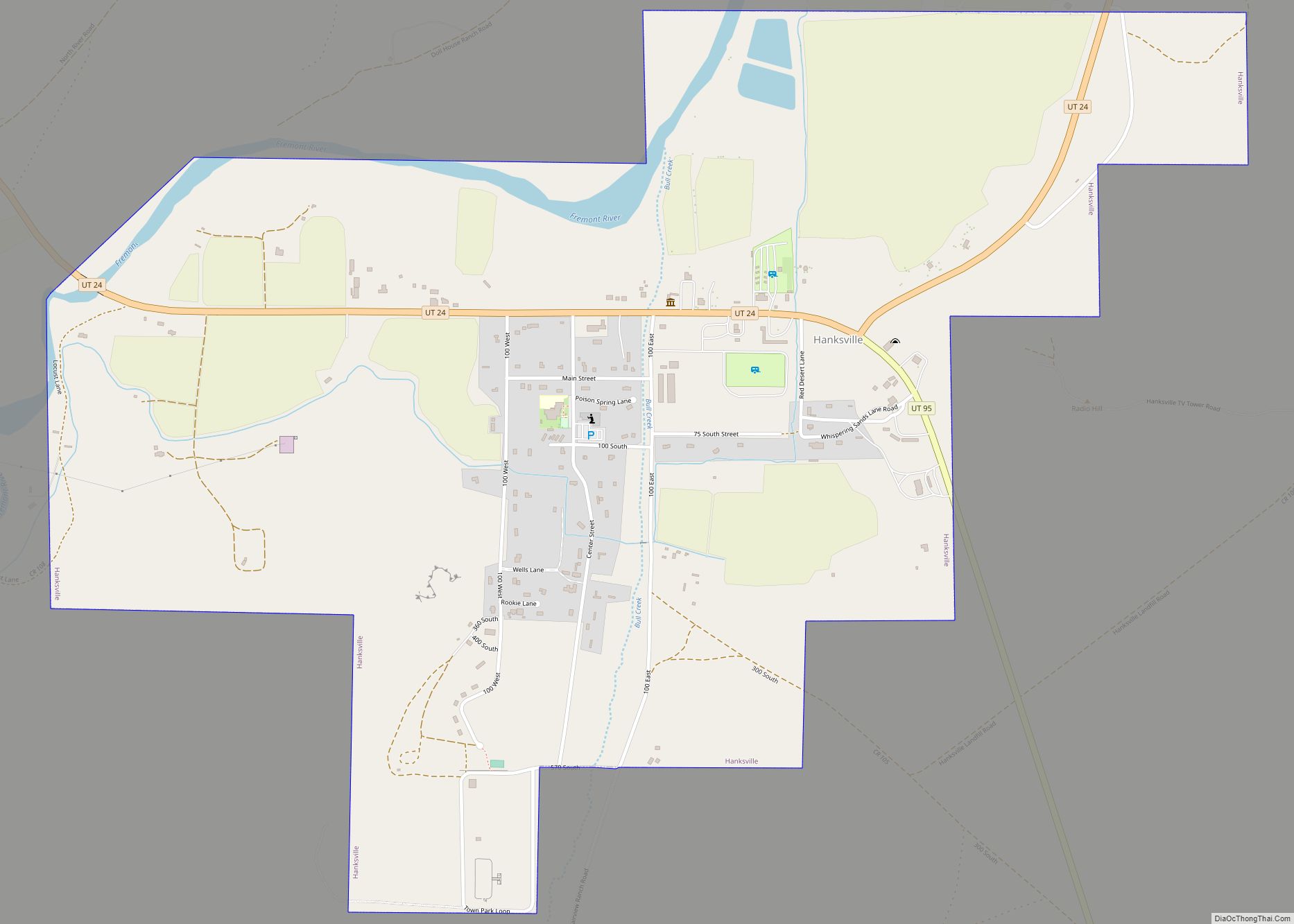
The Green River, passing through the canyons of Canyonlands National Park, forms the eastern boundary. The San Rafael Desert occupies the center of the county. Thousand Lake Mountain and Boulder Mountain flank Rabbit Valley on the western end of the county, where beautiful forests contrast with the deserts to the east. The small population of the county is centered in Rabbit Valley, with one town of 200, Hanksville, located in Graves Valley north of the Henry Mountains. Wayne County is also home to Capitol Reef National Park.
Major highways
- SR-12
- SR-24
- SR-72
- SR-95
Adjacent counties
- Emery County – north
- Grand County – northeast
- San Juan County – east
- Garfield County – south
- Piute County – west
- Sevier County (northwest)
National forests/parks
- Canyonlands National Park
- Capitol Reef National Park
- Dixie National Forest
- Fishlake National Forest
- Glen Canyon National Recreation Area
Lakes
- Abes Knoll Reservoir
- Alkali Lake
- Bald Knoll Reservoir
- Beaver Dam Reservoir
- Beef Hollow Reservoir
- Bicknell Reservoir
- Big Hollow Reservoir
- Black Point Reservoir
- Blackburn Reservoir
- Blind Lake (near Neff Reservoir)
- Blind Lake (near Pear Lake)
- Blue Lake
- Bobs Hole
- Brinkerhoff Pond
- Buffalo Pond
- Bull Roost Reservoir
- Bullberry Lakes
- Cameron Reservoir
- Cedar Peak Lake
- Coleman Reservoir
- Cook Lake
- Cub Lake
- Curler Lake
- Cyclone Co-op Reservoir
- Cyclone Knoll Reservoir
- Dead Horse Lake
- Deadman Hollow Reservoir
- Deep Creek Lake
- Donkey Reservoir
- Dry Lake Reservoir
- East Bicknell Sand Wash Pond
- East Gate Reservoir
- Eightmile Reservoir
- Emily Lake
- Evans Reservoir
- Fish Creek Reservoir
- Flat Top Reservoir
- Flatiron Lakes
- Flossie Lake
- Government Lake
- Grass Lake (near Bobs Hole)
- Grass Lake (near Torgerson Lake)
- Green Lake
- Gripe Reservoir
- Hare Lake
- Heart Lake
- Honeymoon Lake
- Hunt Reservoir
- Jakes Knoll Reservoir
- Jane Lake
- Jay Pond
- Jim Larson Reservoir
- Lava Lake
- Lee Lake
- Left Hand Reservoir
- Lightning Lake
- Long Hollow Reservoir
- Lost Lake
- Lower Balsam Reservoir
- Lower Reservoir
- Meadow Gulch Reservoir
- Middle Balsam Reservoir
- Middle Reservoir
- Mill Meadow Reservoir (part)
- Miller Lake
- Mitts Reservoir
- Moroni Reservoir
- Mud Lake
- Ned Reservoir
- Neff Reservoir
- Ottos Reservoir
- Parker Hollow Reservoir
- Pass Reservoir
- Pear Lake
- Petes Pond
- Pine Creek Reservoir
- Pole Canyon Reservoir
- Raft Lake
- Right Fork Wildcat Reservoir
- Rock Lake
- Rock Point Reservoir
- Round Lake (near Heart Lake)
- Round Lake (near Lower Reservoir)
- Sage Reservoir
- Smooth Knoll Reservoir
- Snow Lake
- Snow Lakes
- Solitaire Lake
- Spray Reservoir
- Square Reservoir
- Tidwell Reservoir
- Torgerson Lake
- Twin Lakes
- Upper Balsam Reservoir
- Vance Reservoir
- West Bicknell Pond
- West Flat Top Reservoir Number 1
- West Flat Top Reservoir Number 2
- White Rock Reservoir
- Wide Hollow Reservoir
- Wildcat Reservoir
- Woodys Reservoir
Wayne County Topographic Map
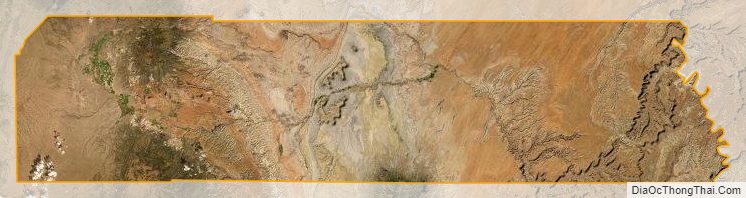
Wayne County Satellite Map
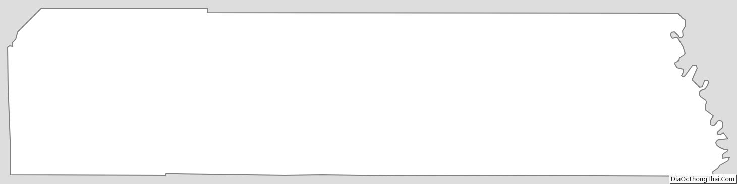
Wayne County Outline Map