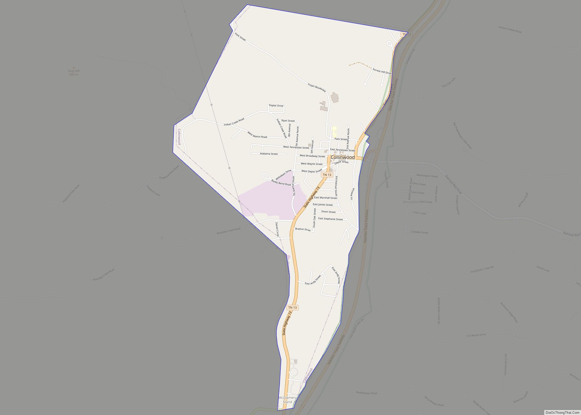
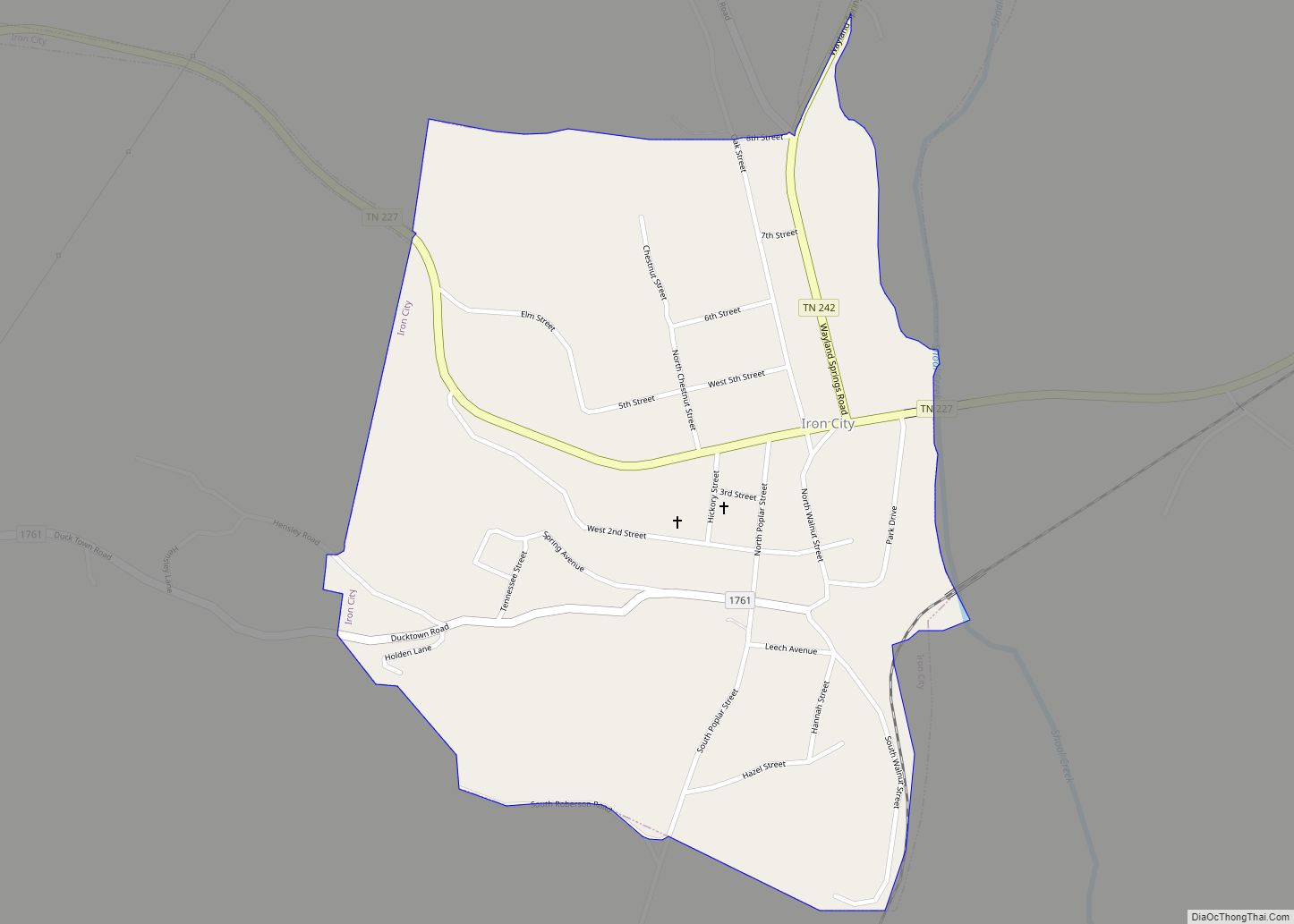
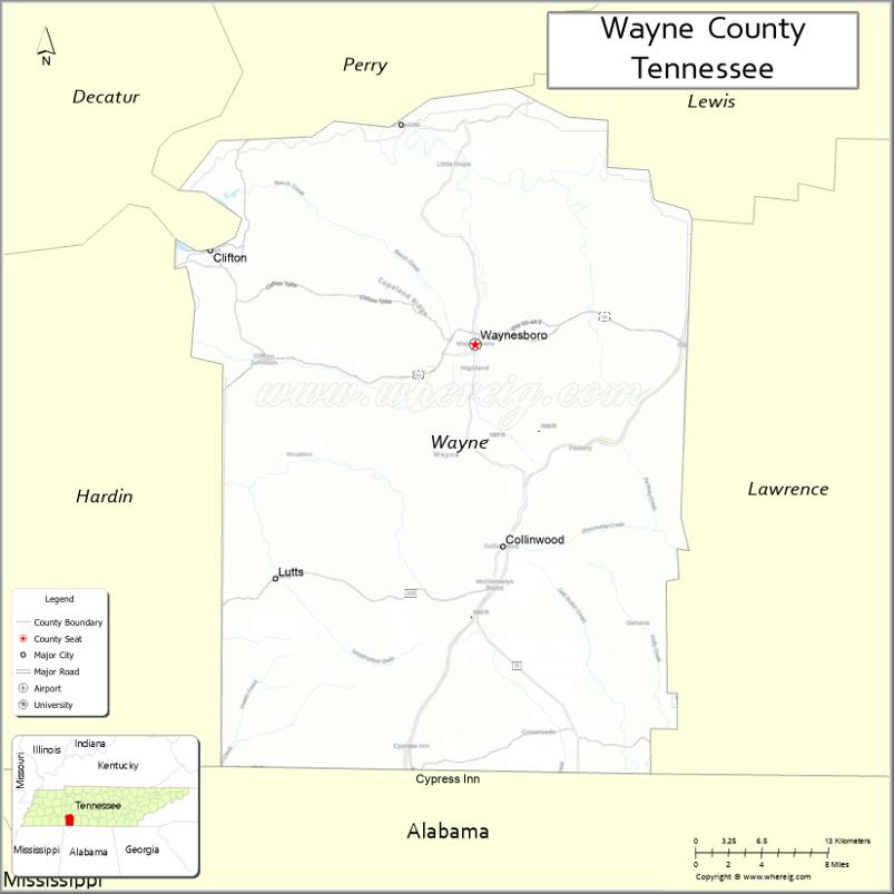
Wayne County is a county located in south central Tennessee, along the Alabama border. As of the 2020 census, the population was 16,232. Its county seat is Waynesboro. The county is named after General “Mad Anthony” Wayne, a prominent military leader in the American Revolutionary War.
| Name: | Wayne County |
|---|---|
| FIPS code: | 47-181 |
| State: | Tennessee |
| Founded: | 1817 |
| Named for: | General Anthony Wayne |
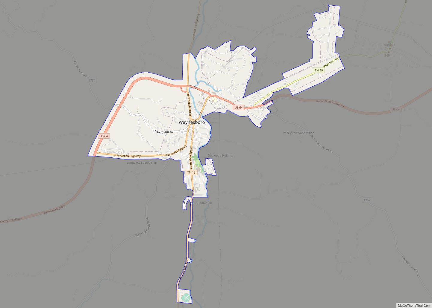
| Seat: | Waynesboro |
| Largest city: | Waynesboro |
| Total Area: | 736 sq mi (1,910 km²) |
| Land Area: | 734 sq mi (1,900 km²) |
| Total Population: | 16,232 |
| Population Density: | 22/sq mi (8/km²) |
| Time zone: | UTC−6 (Central) |
| Summer Time Zone (DST): | UTC−5 (CDT) |
| Website: | www.waynecountytn.org |
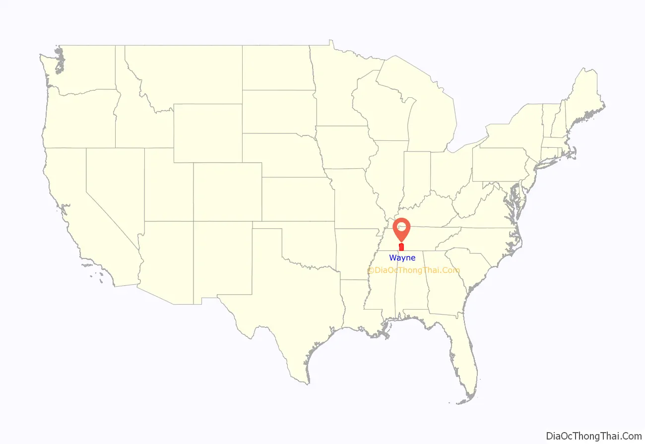
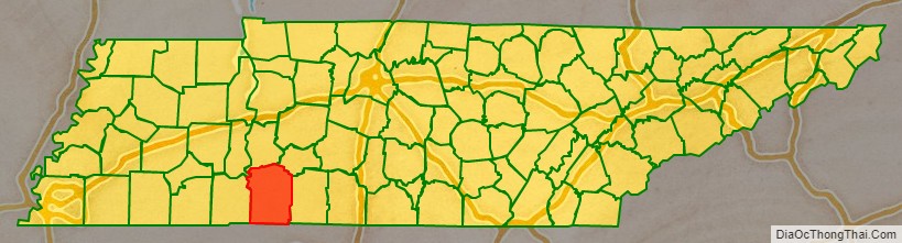
Wayne County location map. Where is Wayne County?
History
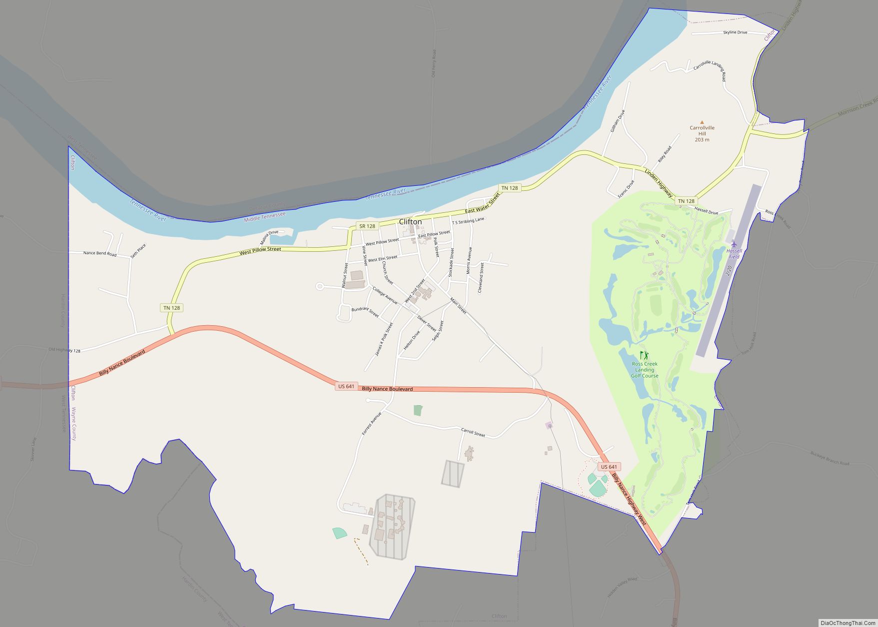
Wayne County was created in 1817 from parts of Hickman and Humphreys counties. Waynesboro, its county seat, was established in 1821. Located along the Tennessee River, the city of Clifton emerged as a key river port in the mid-19th century.
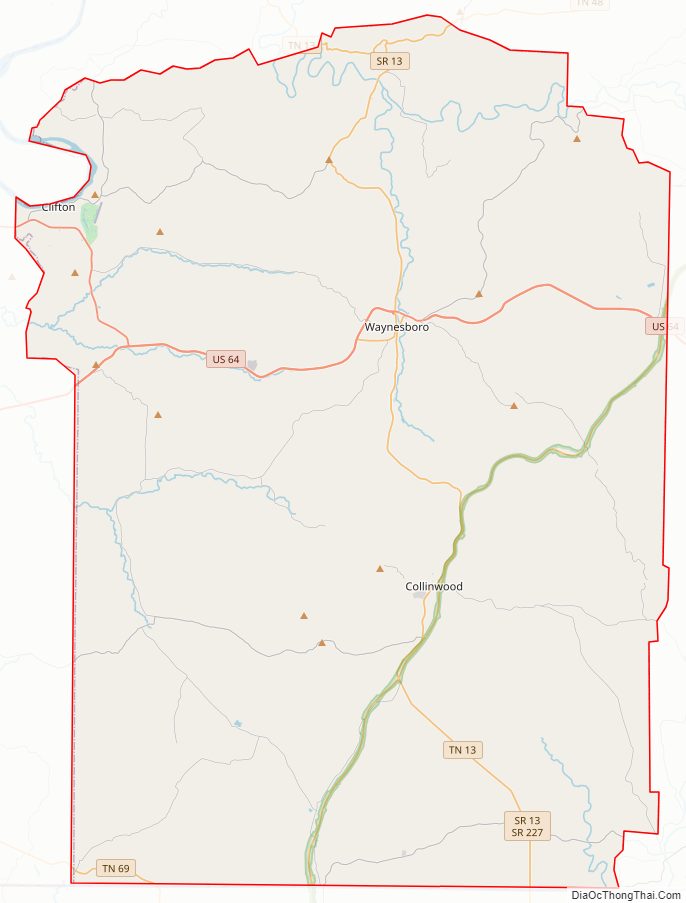
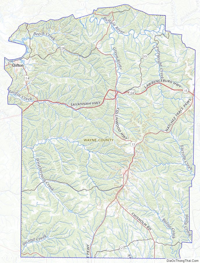
Wayne County Road Map
Geography
According to the U.S. Census Bureau, the county has a total area of 736 square miles (1,910 km), of which 734 square miles (1,900 km) is land and 1.6 square miles (4.1 km) (0.2%) is water. It is the second-largest county in Tennessee by area. The county lies primarily along the southwestern Highland Rim. The Tennessee River flows along Wayne County’s northwestern border with Decatur County. The Buffalo River, a tributary of the Duck River, flows through the northern part of Wayne County. The Green River, a tributary of the Buffalo, flows through Waynesboro.
Adjacent counties
- Perry County (north)
- Lewis County (northeast)
- Lawrence County (east)
- Lauderdale County, Alabama (south)
- Hardin County (west)
- Decatur County (northwest)
National protected area
- Natchez Trace Parkway (part)
State protected areas
- Arnold Hollow Wildlife Management Area
- Browntown Wildlife Management Area
- Eagle Creek Wildlife Management Area
- Tie Camp Wildlife Management Area
Wayne County Topographic Map
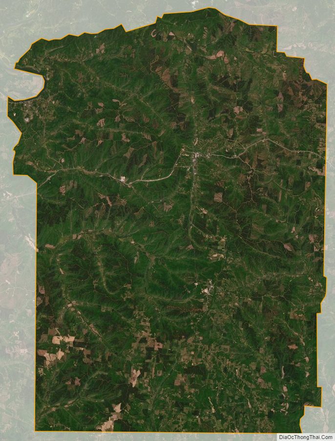
Wayne County Satellite Map
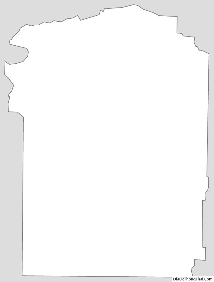
Wayne County Outline Map