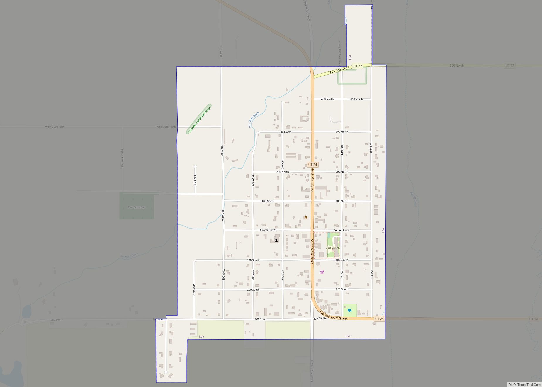
Loa is a town in, and the county seat of, Wayne County, Utah, United States, along State Route 24. The population was 572 at the 2010 census.
| Name: | Loa town |
|---|---|
| LSAD Code: | 43 |
| LSAD Description: | town (suffix) |
| State: | Utah |
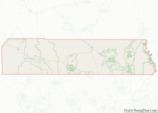
| County: | Wayne County |
| Elevation: | 7,064 ft (2,153 m) |
| Total Area: | 0.95 sq mi (2.46 km²) |
| Land Area: | 0.95 sq mi (2.46 km²) |
| Water Area: | 0.00 sq mi (0.00 km²) |
| Total Population: | 572 |
| Population Density: | 605.26/sq mi (233.72/km²) |
| ZIP code: | 84747 |
| Area code: | 435 |
| FIPS code: | 4945530 |
| GNISfeature ID: | 1442822 |
Online Interactive Map
Click on ![]() to view map in "full screen" mode.
to view map in "full screen" mode.
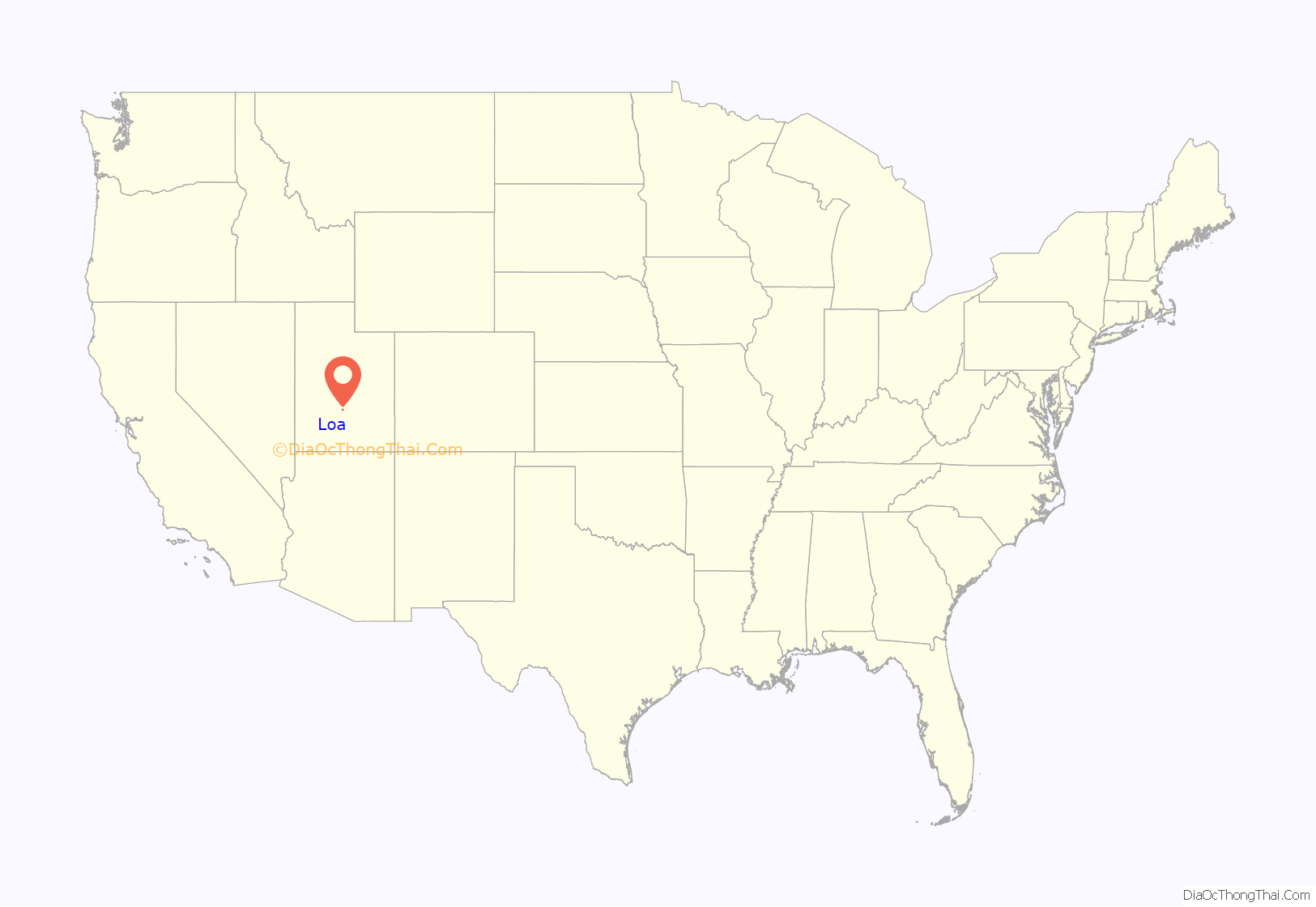
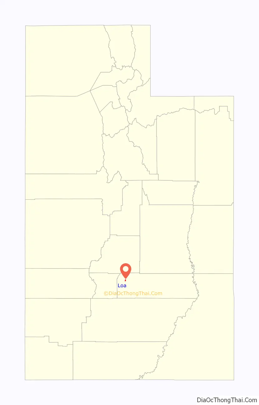
Loa location map. Where is Loa town?
History
A post office called Loa has been in operation since 1879. The town was named after Mauna Loa, in Hawaii, by a Mormon missionary who had returned from that place.
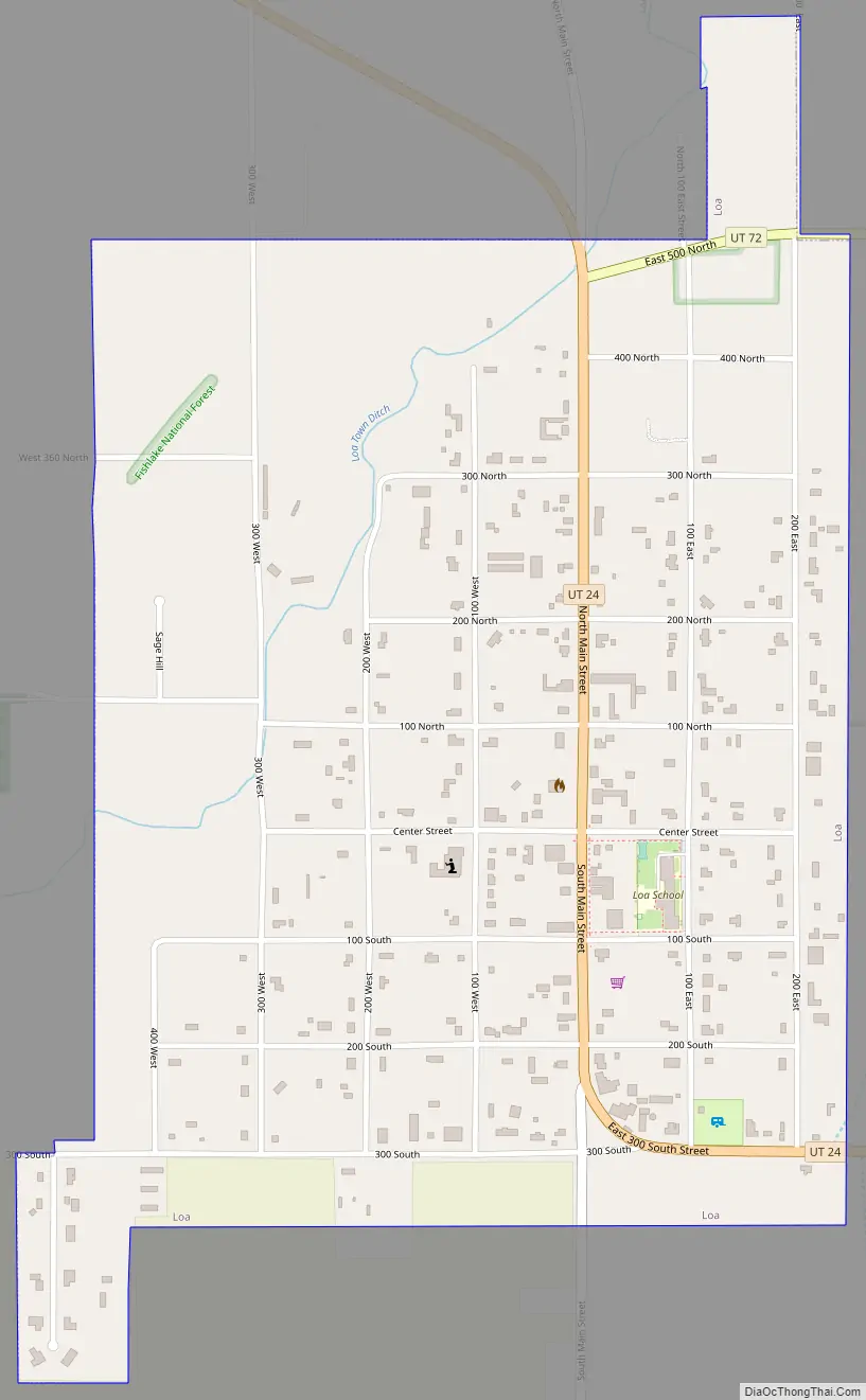
Loa Road Map
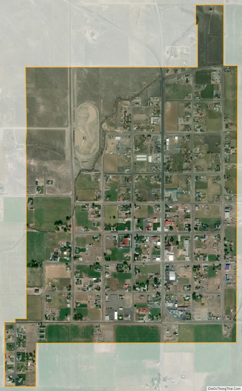
Loa city Satellite Map
Geography
According to the United States Census Bureau, the town has a total area of 0.9 square mile (2.3 km), which is all land.
Loa sits beside the only source of water known as Spring Creek, which rises 4 miles (6 km) to the north where today is located the state fish hatchery. The drinking water in Loa comes from a spring near Road Creek.
Loa features a cold semi-arid climate (Köppen BSk).
See also
Map of Utah State and its subdivision: Map of other states:- Alabama
- Alaska
- Arizona
- Arkansas
- California
- Colorado
- Connecticut
- Delaware
- District of Columbia
- Florida
- Georgia
- Hawaii
- Idaho
- Illinois
- Indiana
- Iowa
- Kansas
- Kentucky
- Louisiana
- Maine
- Maryland
- Massachusetts
- Michigan
- Minnesota
- Mississippi
- Missouri
- Montana
- Nebraska
- Nevada
- New Hampshire
- New Jersey
- New Mexico
- New York
- North Carolina
- North Dakota
- Ohio
- Oklahoma
- Oregon
- Pennsylvania
- Rhode Island
- South Carolina
- South Dakota
- Tennessee
- Texas
- Utah
- Vermont
- Virginia
- Washington
- West Virginia
- Wisconsin
- Wyoming