Webster Parish (French: Paroisse de Webster) is a parish located in the northwestern section of the U.S. state of Louisiana. The seat of the parish is Minden.
As of the 2020 census, the Webster Parish population was 36,967. Public officials who have long sought to increase the industrial potential of the parish, expressed concern over the decline. Jim Bonsall, the president of the Webster Parish Police Jury, the parish governing body, cited the ending of the Haynesville Shale boom as the primary reason for the population losses. The parish has long depended on jobs in the petroleum and natural gas fields.
The parish is named for 19th-century American statesman Daniel Webster of Massachusetts and New Hampshire. It was created on February 27, 1871 from lands formerly belonging to Bienville, Bossier, and Claiborne parishes. The parish centennial celebration was held in May 1971. Speakers included Police jury president Leland Garland Mims and Judge Enos McClendon of the Louisiana 26th Judicial District Court, who gave a biographical sketch of Daniel Webster. Many officials and parish employees dressed in period costume of the 1870s for the event.
Webster Parish is part of the Shreveport–Bossier City, LA Metropolitan Statistical Area.
Among the first settlers in Webster Parish was Newett Drew, a native of Virginia, who about 1818 established a grist mill at the former Overton community near Minden. At this time the area was Natchitoches Parish and later Overton became the Parish Seat of Claiborne Parish in 1836 until it moved in 1848. His son, Richard Maxwell Drew was born in Overton and served as a district judge and state representative prior to his death in 1850 at the age of twenty-eight. R. M. Drew’s descendants held judicial or legislative positions in Webster Parish as well, Richard Cleveland Drew, Harmon Caldwell Drew, R. Harmon Drew, Sr., and Harmon Drew, Jr.
| Name: | Webster Parish |
|---|---|
| FIPS code: | 22-119 |
| State: | Louisiana |
| Founded: | 1871 |
| Named for: | Daniel Webster |
| Seat: | Minden |
| Total Area: | 1,590 km² (615 sq mi) |
| Land Area: | 1,540 km² (593 sq mi) |
| Total Population: | 36,967 |
| Population Density: | 23/km² (60/sq mi) |
| Time zone: | UTC-6 (CST) |
| Summer Time Zone (DST): | UTC-5 (CDT) |
| Website: | Parish of Webster |
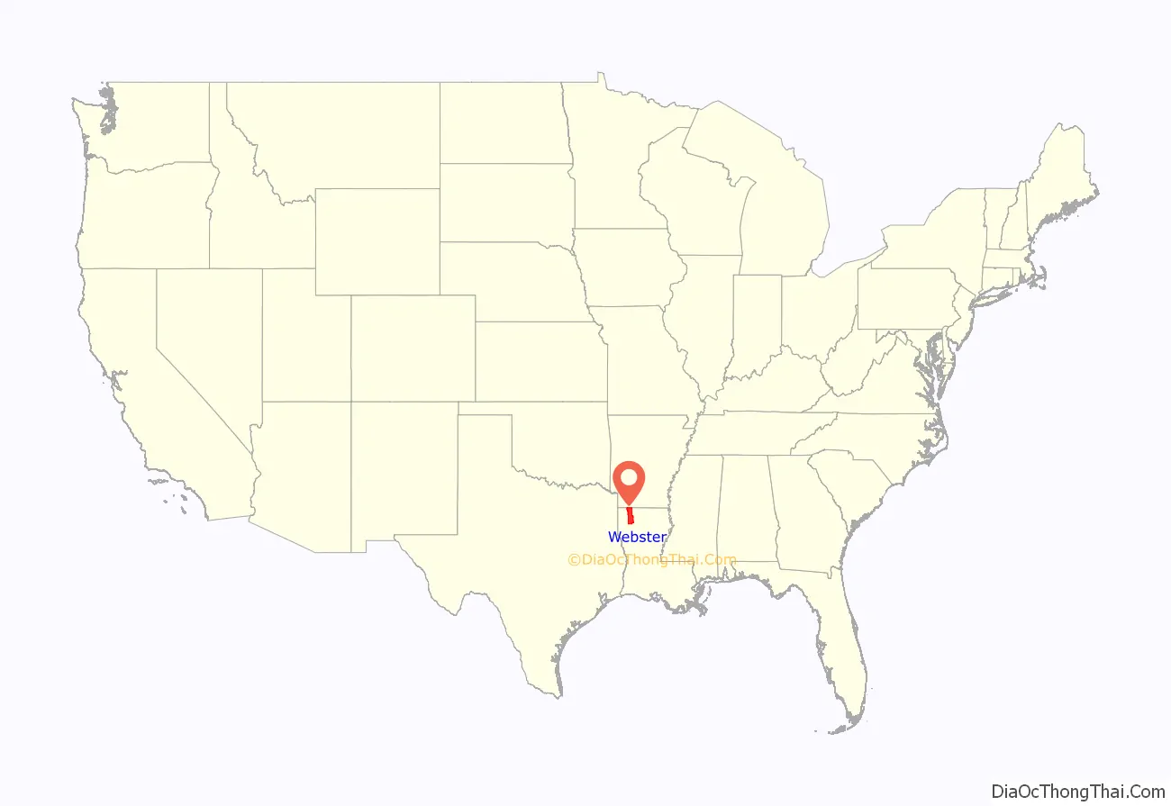
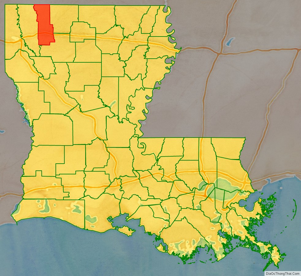
Webster Parish location map. Where is Webster Parish?
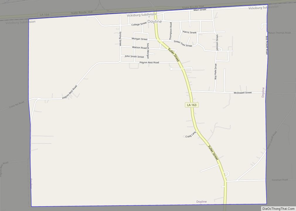
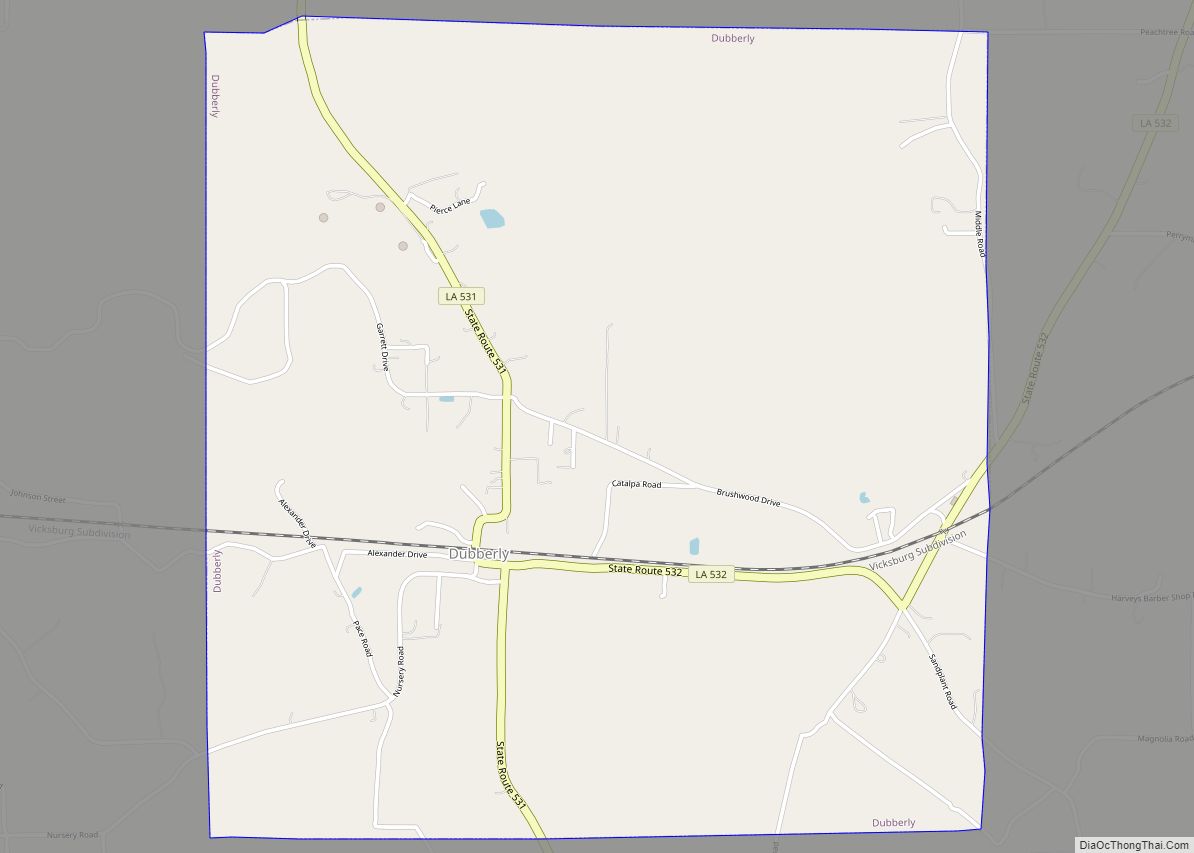
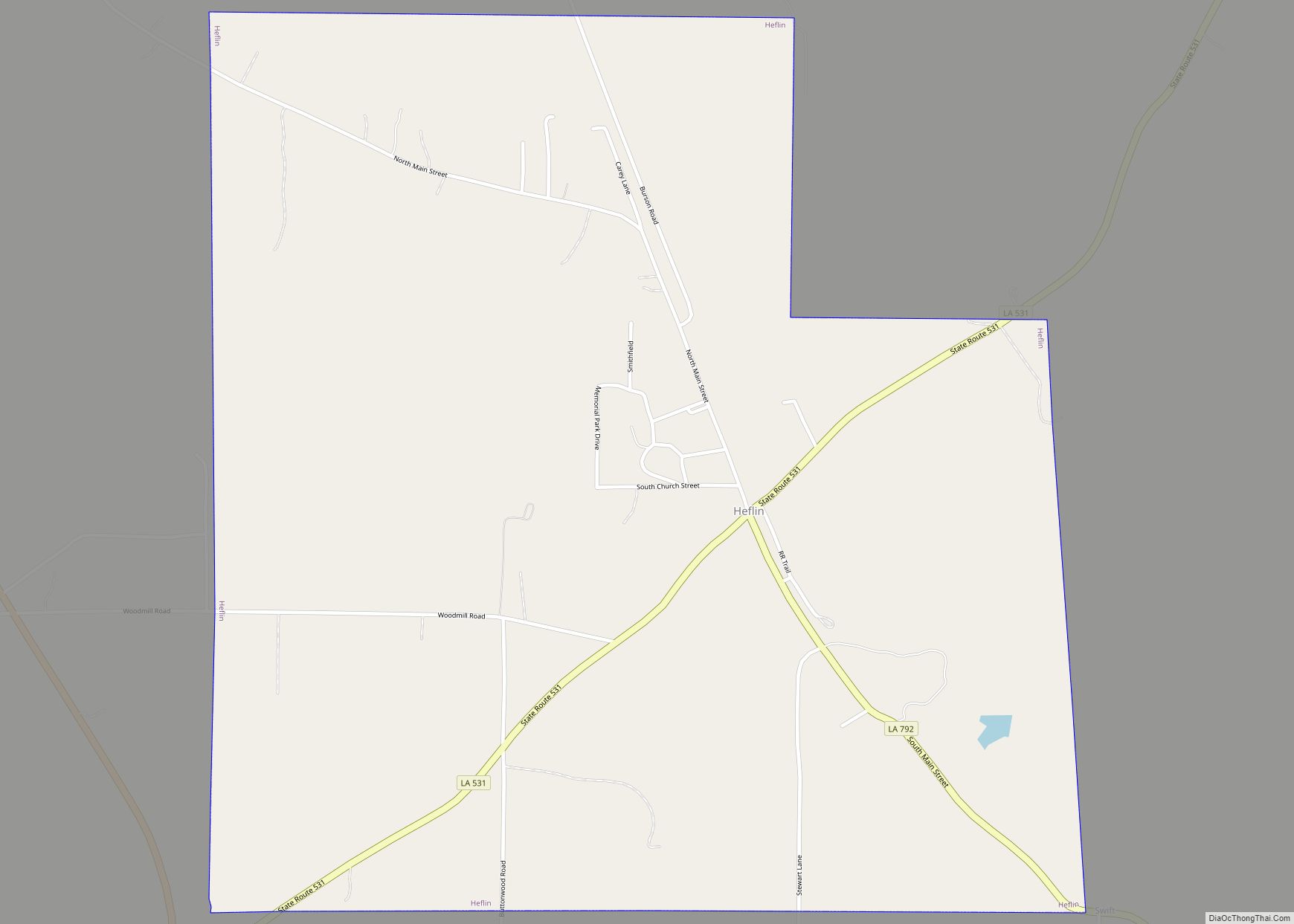
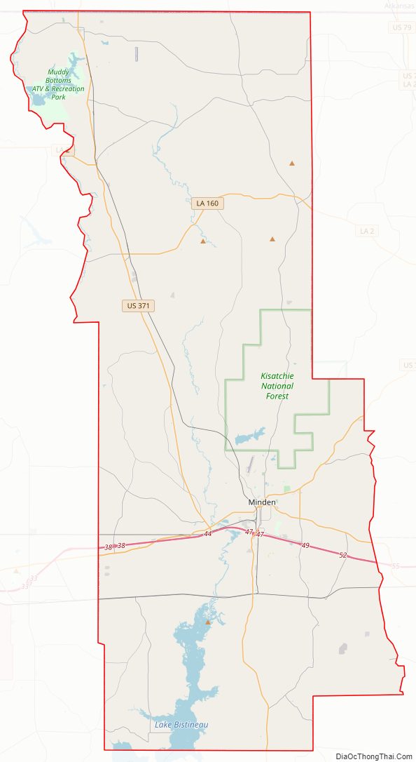
Webster Parish Road Map
Geography
According to the U.S. Census Bureau, the parish has a total area of 615 square miles (1,590 km), of which 593 square miles (1,540 km) is land and 22 square miles (57 km) (3.5%) is water.
Major highways
- Interstate 20
- Future Interstate 69
- U.S. Highway 79
- U.S. Highway 80
- U.S. Highway 371
- Louisiana Highway 2
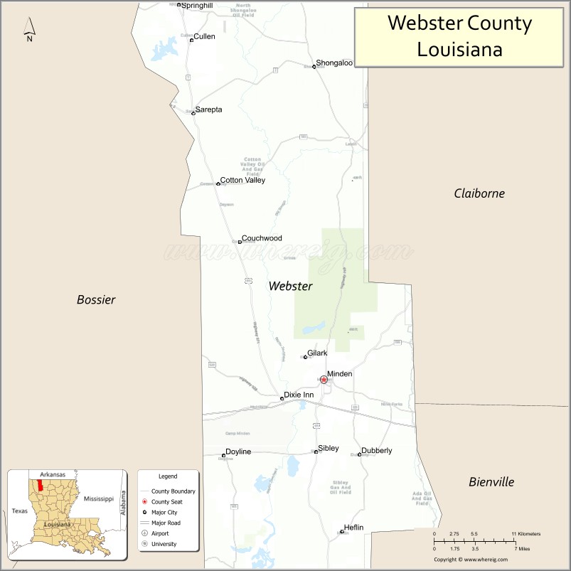
Adjacent counties and parishes
- Lafayette County, Arkansas (north)
- Columbia County, Arkansas (northeast)
- Claiborne Parish (east)
- Bienville Parish (southeast)
- Bossier Parish (west)
National protected areas
- Kisatchie National Forest (part)
- Caney Lakes Recreation Area near Minden (not to be confused with another Caney Lake near Jonesboro, Louisiana)
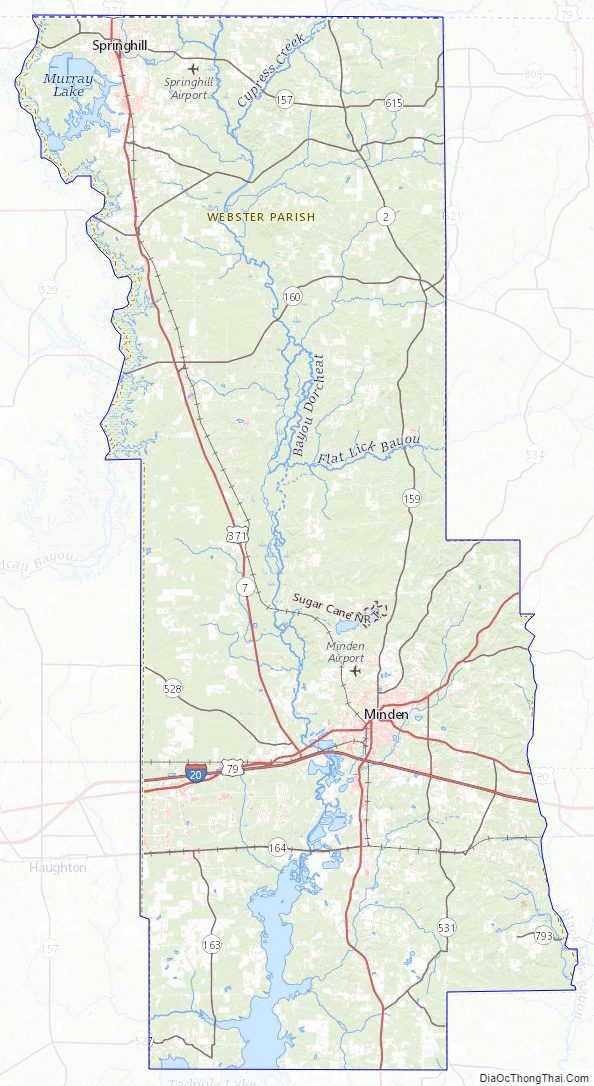
Webster Parish Topographic Map
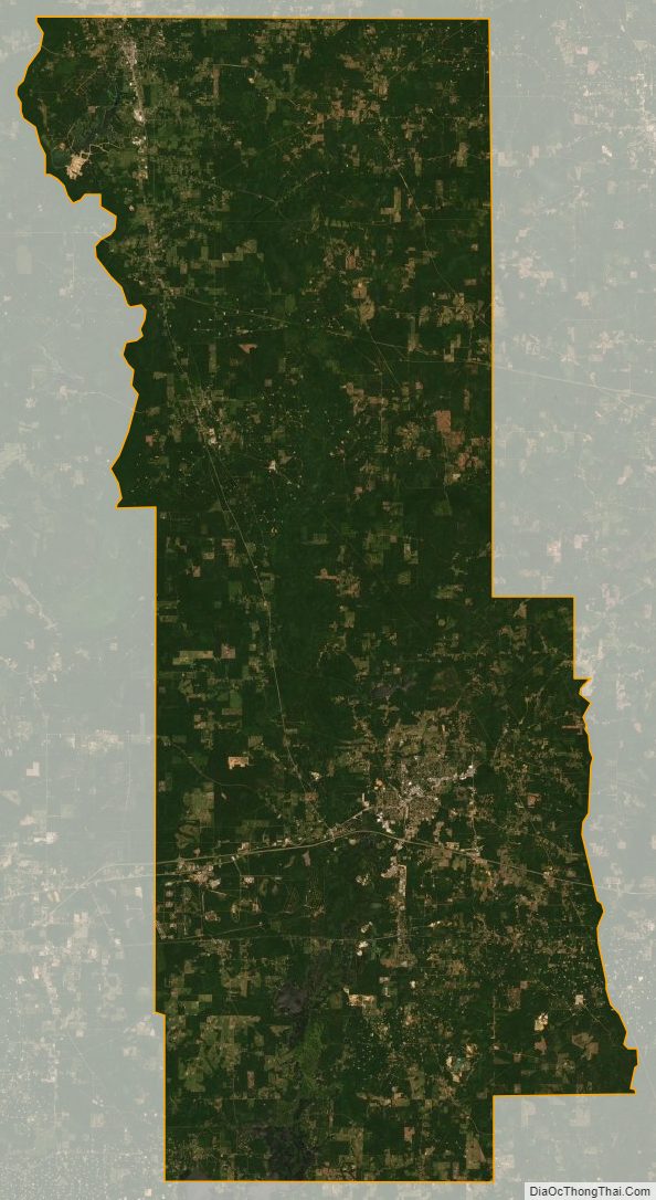
Webster Parish Satellite Map
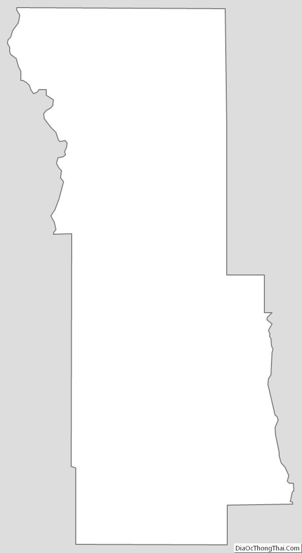
Webster Parish Outline Map