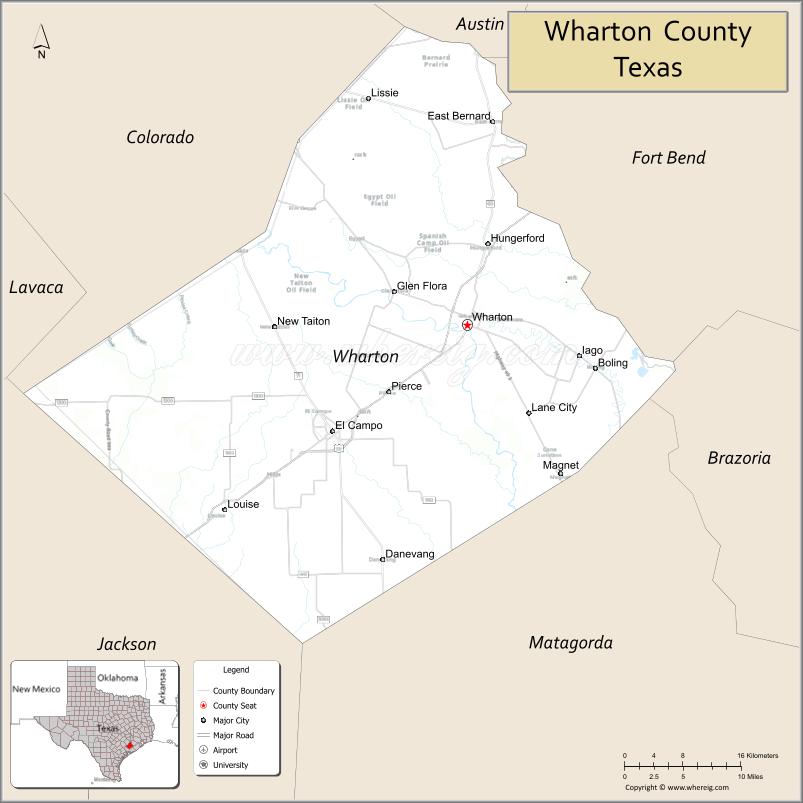
| Name: | Wharton County |
|---|---|
| FIPS code: | 48-481 |
| State: | Texas |
| Founded: | 1846 |
| Named for: | William H. Wharton and John Austin Wharton |
| Seat: | Wharton |
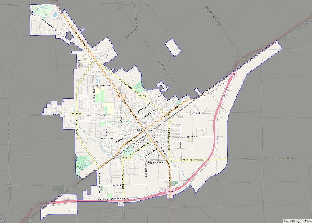
| Largest city: | El Campo |
| Total Area: | 1,094 sq mi (2,830 km²) |
| Land Area: | 1,086 sq mi (2,810 km²) |
| Total Population: | 41,570 |
| Population Density: | 38/sq mi (15/km²) |
| Time zone: | UTC−6 (Central) |
| Summer Time Zone (DST): | UTC−5 (CDT) |
| Website: | www.co.wharton.tx.us |
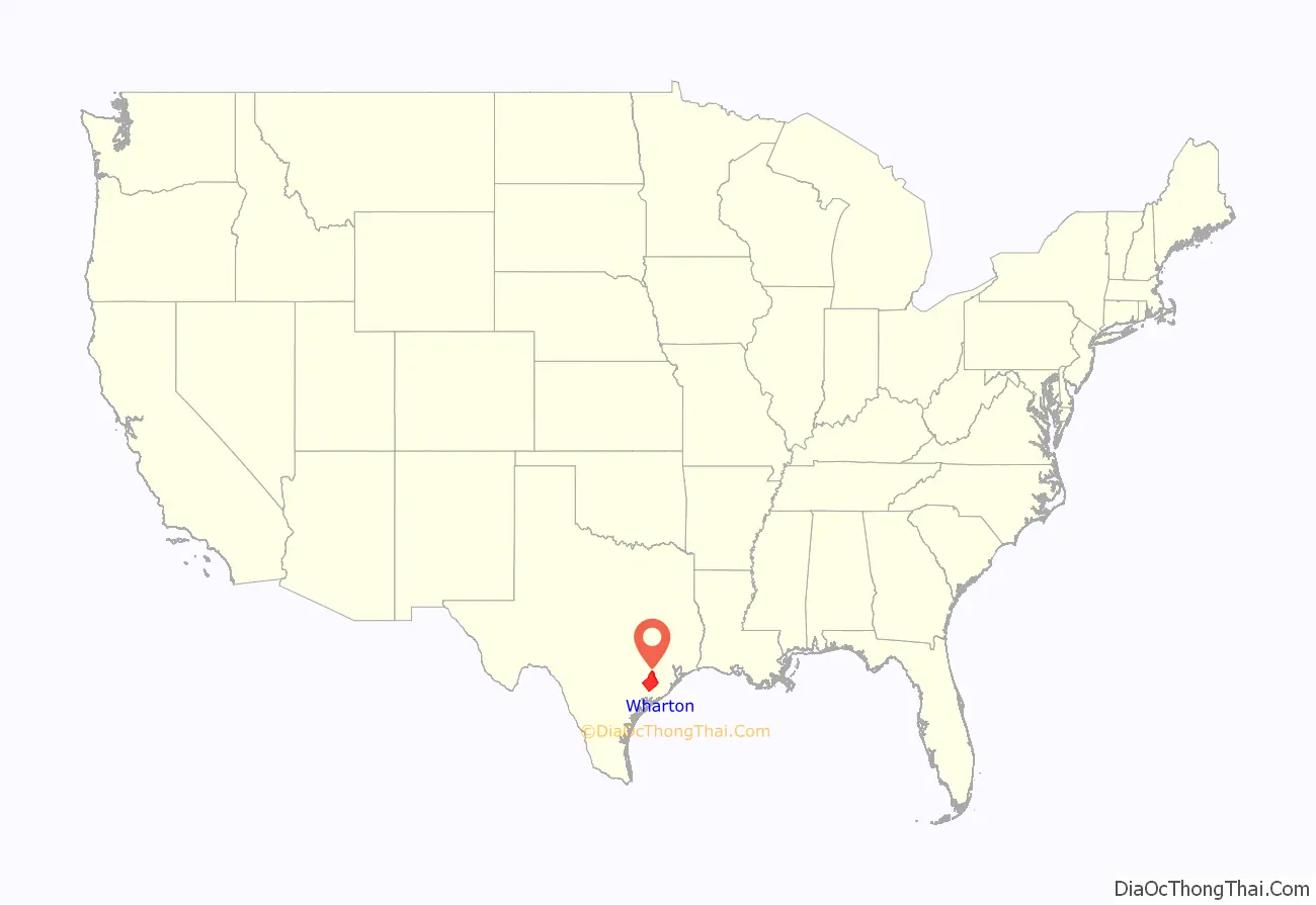
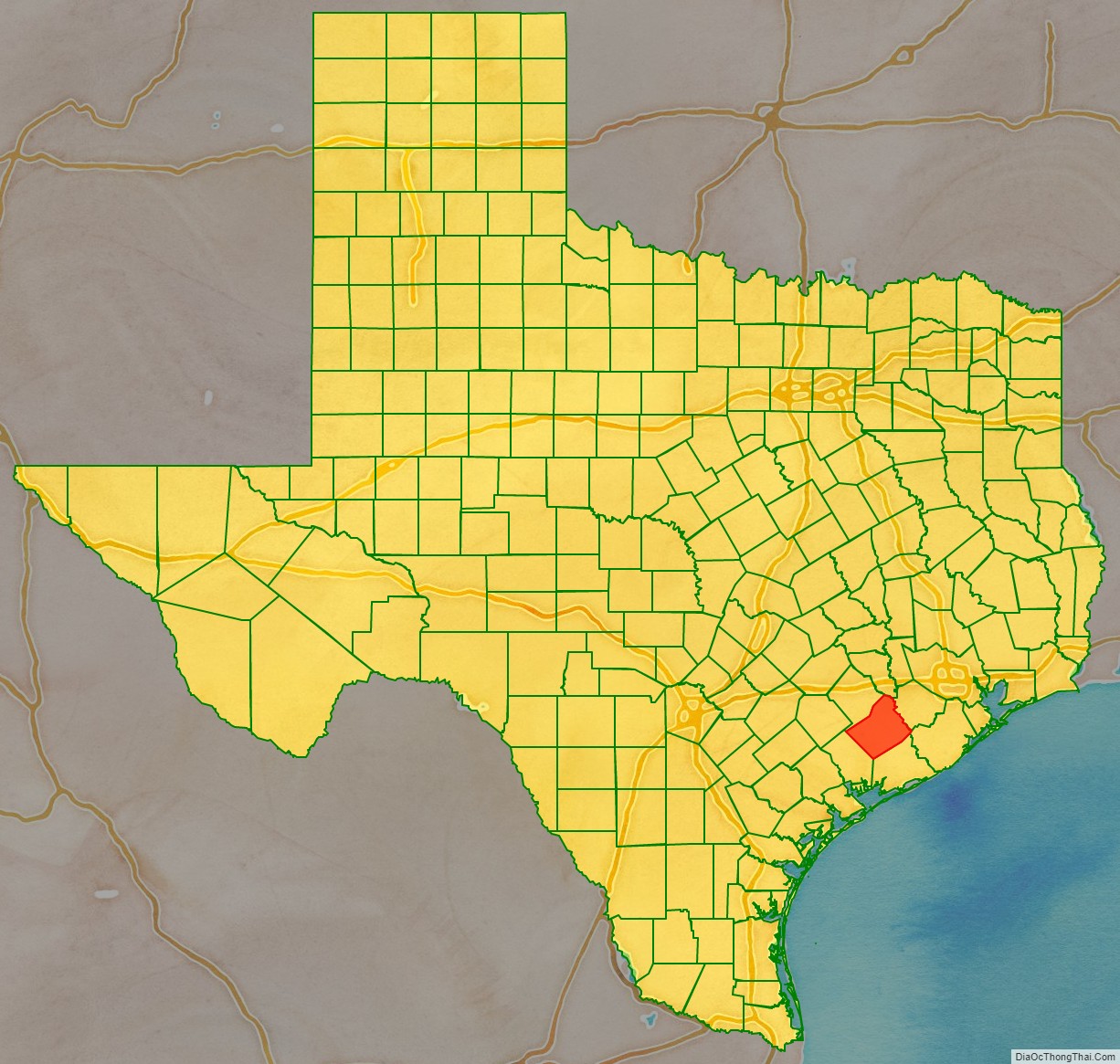
Wharton County location map. Where is Wharton County?
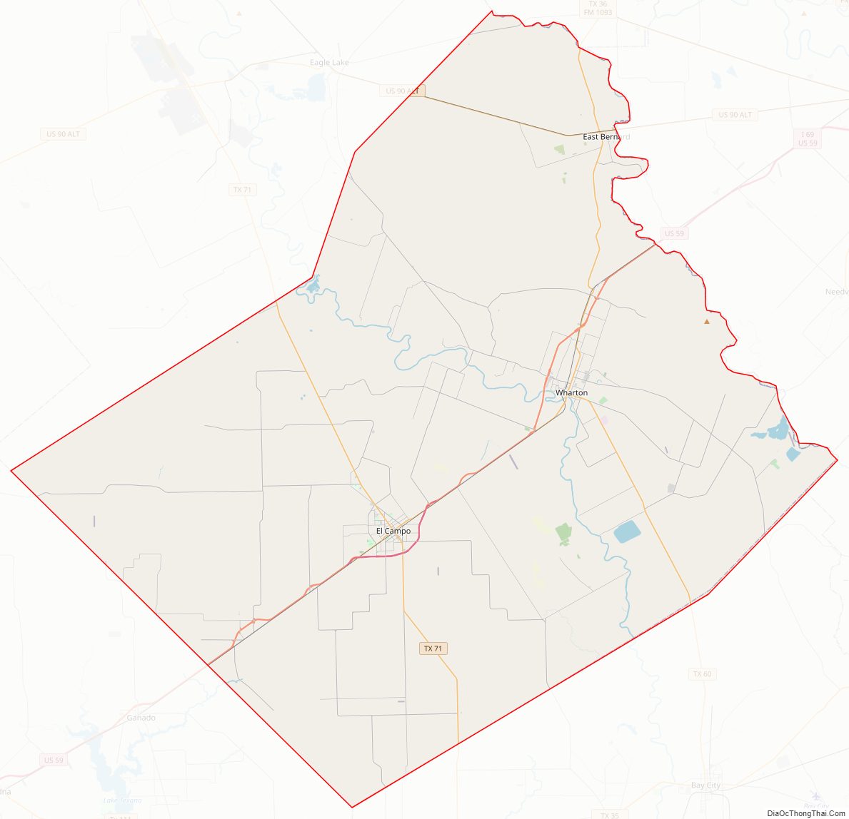
Wharton County Road Map
Geography
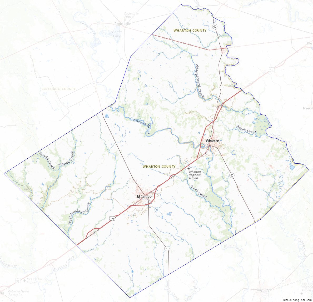
According to the U.S. Census Bureau, the county has a total area of 1,094 square miles (2,830 km), of which 1,086 square miles (2,810 km) is land and 8.2 square miles (21 km) (0.8%) is water.
The county is about 130 miles (210 km) southeast of Austin.
Adjacent counties
- Austin County (north)
- Fort Bend County (northeast)
- Brazoria County (east)
- Matagorda County (southeast)
- Jackson County (southwest)
- Colorado County (northwest)
Wharton County Topographic Map
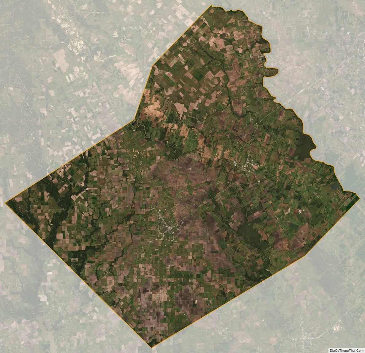
Wharton County Satellite Map
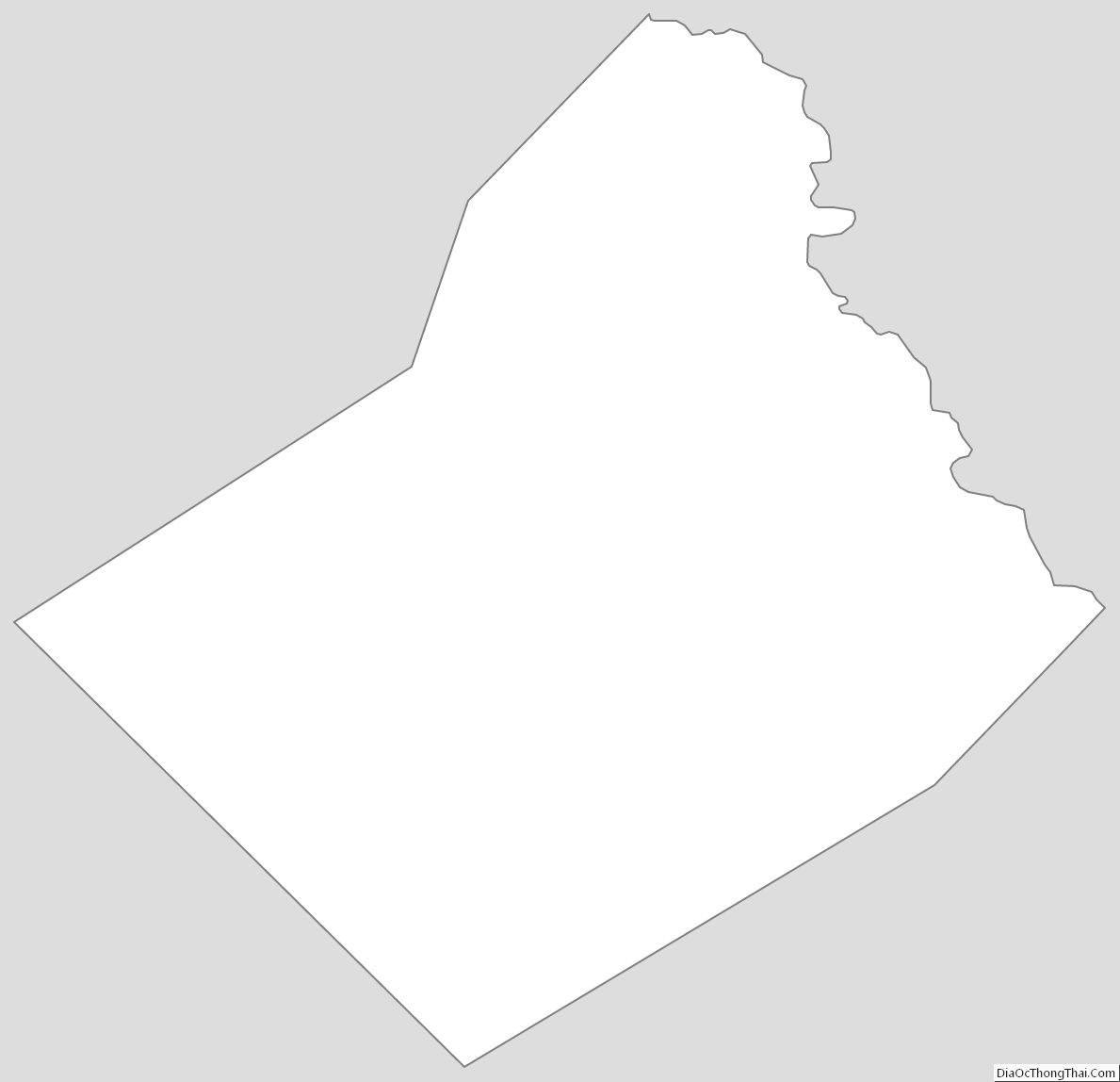
Wharton County Outline Map