Brazoria County (/brəˈzɔːriə/ brə-ZOR-ee-ə) is a county in the U.S. state of Texas. As of the 2020 census, the population of the county was 372,031. The county seat is Angleton.
Brazoria County is included in the Houston-The Woodlands-Sugar Land metropolitan statistical area. It is located in the Gulf Coast region of Texas.
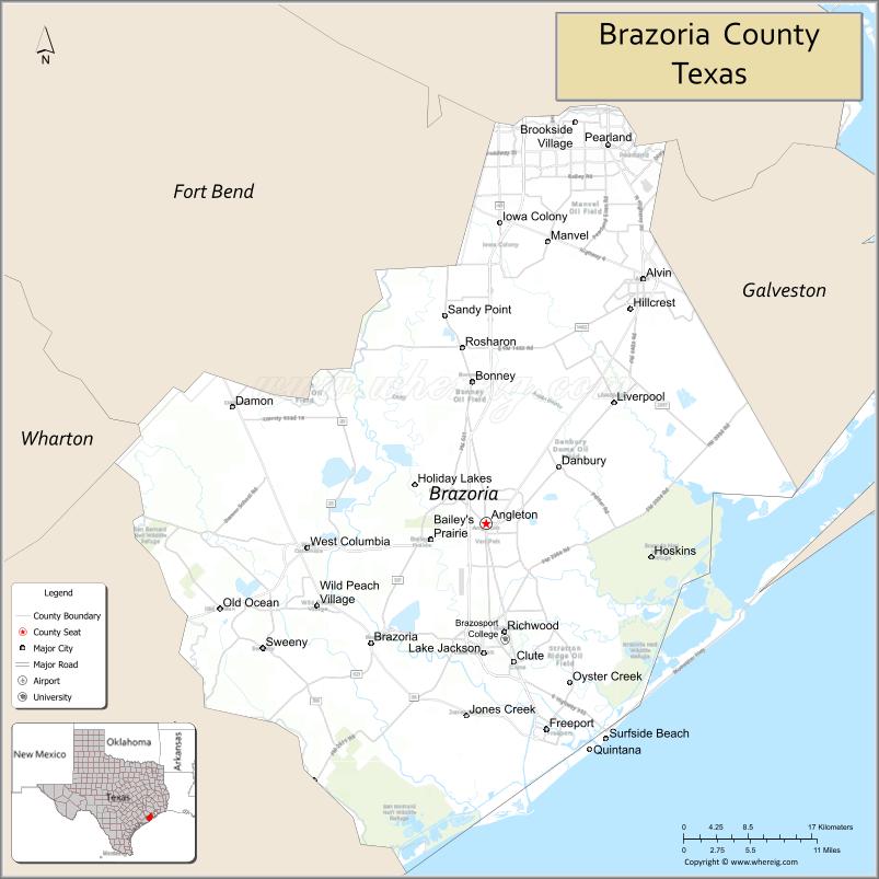
Regionally, parts of the county are within the extreme southernmost fringe of the regions locally known as Southeast Texas. Brazoria County is among a number of counties that are part of the region known as the Texas Coastal Bend. Its county seat is Angleton, and its largest city is Pearland. Brazoria County, like Brazos County farther upriver, takes its name from the Brazos River. It served as the first settlement area for Anglo-Texas, when the Old Three Hundred emigrated from the United States in 1821. The county also includes what was once Columbia and Velasco, Texas, early capital cities of the Republic of Texas. The highest point in Brazoria County is Shelton’s Shack, located near the Dow Chemical Plant B Truck Control Center, measuring 342 ft above sea level.
| Name: | Brazoria County |
|---|---|
| FIPS code: | 48-039 |
| State: | Texas |
| Founded: | 1836 |
| Named for: | Brazos River |
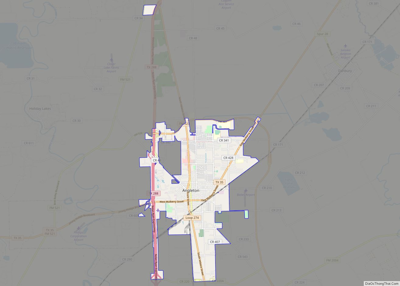
| Seat: | Angleton |
| Largest city: | Pearland |
| Total Area: | 1,609 sq mi (4,170 km²) |
| Land Area: | 1,358 sq mi (3,520 km²) |
| Total Population: | 372,031 |
| Population Density: | 272.9/sq mi (105.4/km²) |
| Time zone: | UTC−6 (Central) |
| Summer Time Zone (DST): | UTC−5 (CDT) |
| Website: | brazoriacountytx.gov |
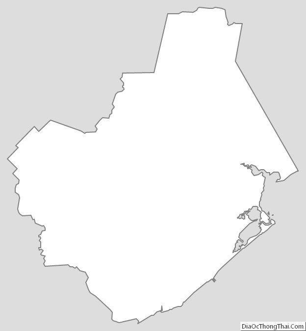
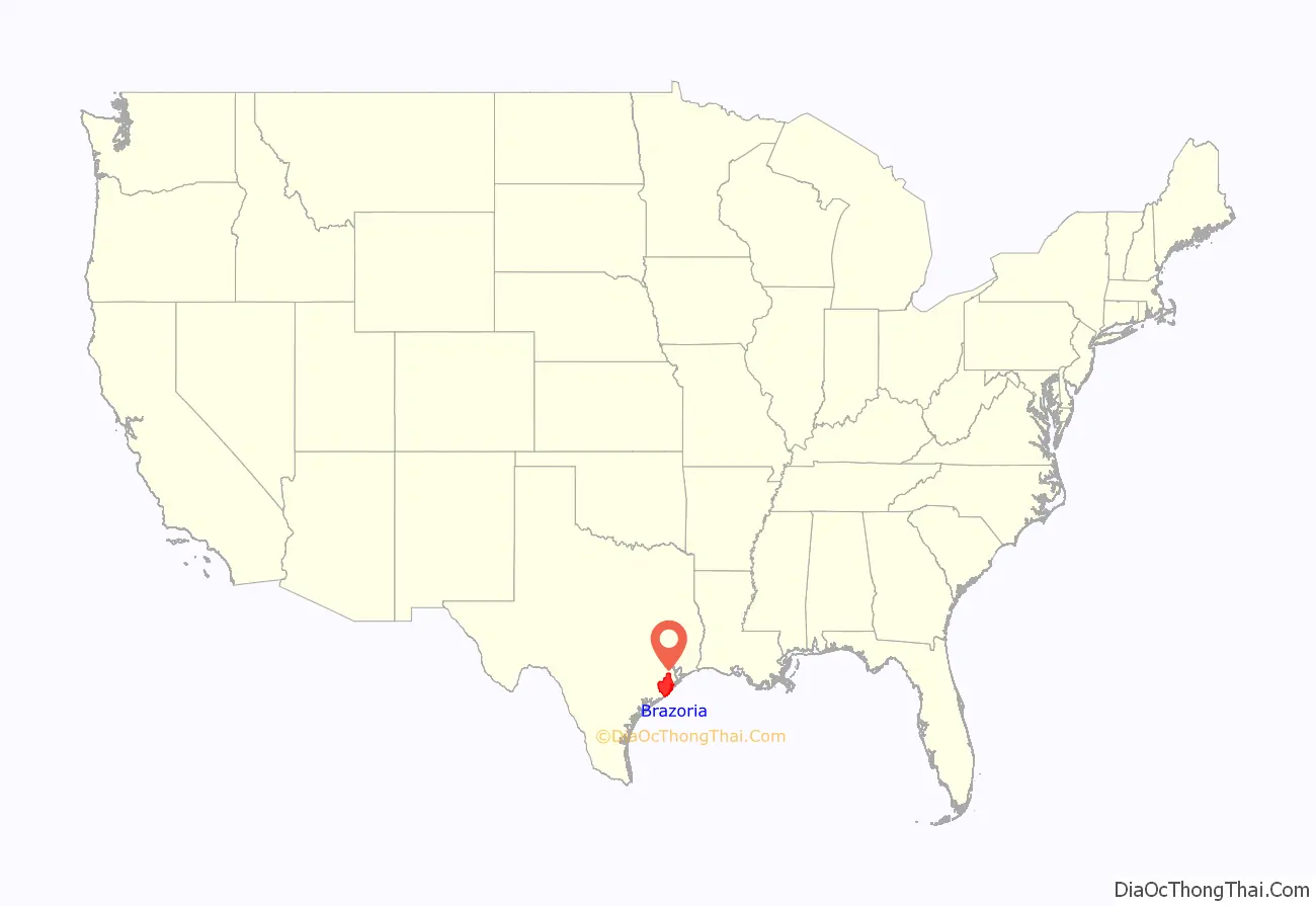
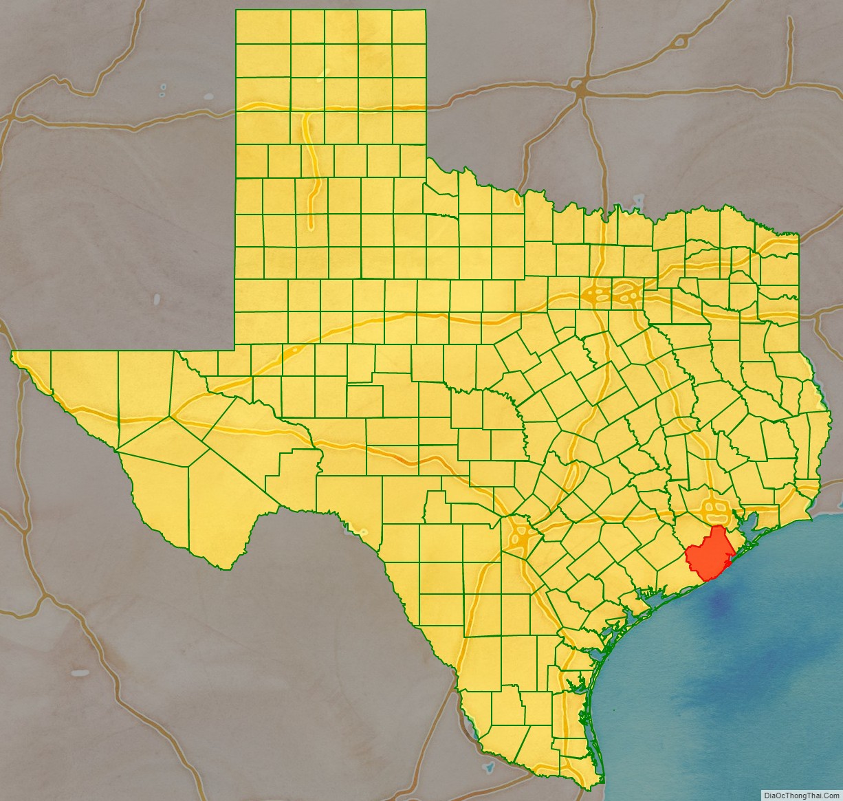
Brazoria County location map. Where is Brazoria County?
History
Brazoria County takes its name from the Brazos River, which flows through it. Anglo-Texas began in Brazoria County when the first of Stephen F. Austin’s authorized 300 American settlers arrived at the mouth of the Brazos in 1821. Many of the events leading to the Texas Revolution developed in Brazoria County. In 1832, Brazoria was organized as a separate municipal district by the Mexican government, so became one of Texas original counties at independence in 1836.
An early resident of Brazoria County, Joel Walter Robison, fought in the Texas Revolution and later represented Fayette County in the Texas House of Representatives.
Stephen F. Austin’s original burial place is located at a church cemetery, Gulf Prairie Cemetery, in the town of Jones Creek, on what was his brother-in-law’s Peach Point Plantation. His remains were exhumed in 1910 and brought to be reinterred at the state capital in Austin. The town of West Columbia served as the first capital of Texas, dating back to prerevolutionary days.
The Hastings Oil Field was discovered by the Stanolind Oil and Gas Company in 1934. Production was from a depth of 5,990 feet (1,830 m), associated with a salt dome structure. Total production by 1954 was about 242 million barrels.
Lake Jackson is a community developed beginning in the early 1940s to provide housing to workers at a new Dow Chemical Company plant in nearby Freeport. The county has elements of both rural and suburban communities, as it is part of greater Houston.
On June 2, 2016, the flooding of the Brazos River required evacuations for portions of Brazoria County.
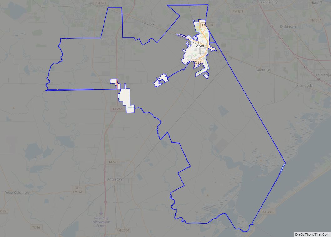
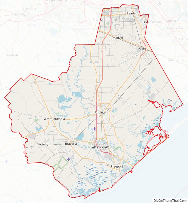
Brazoria County Road Map
Geography
According to the U.S. Census Bureau, the county has a total area of 1,609 square miles (4,170 km), of which 1,358 square miles (3,520 km) are land and 251 square miles (650 km) (16%) are covered by water.
Adjacent counties
- Harris County (north)
- Galveston County (northeast)
- Gulf of Mexico (southeast)
- Matagorda County (southwest)
- Wharton County (west)
- Fort Bend County (northwest)
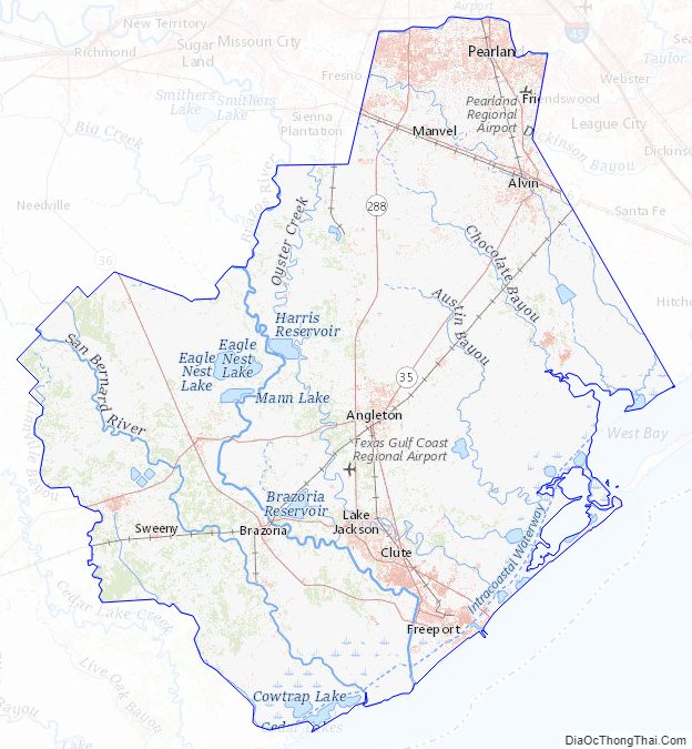
National protected areas
- Brazoria National Wildlife Refuge
- San Bernard National Wildlife Refuge (part)
Brazoria County Topographic Map
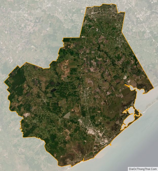
Brazoria County Satellite Map
Brazoria County Outline Map