Wharton is a city in and the county seat of Wharton County, Texas, United States. This city is 60 mi (97 km) southwest of Houston. Its population was 8,832 at the 2010 census and 8,627 at the 2020 census. Wharton is located on the Colorado River of Texas. U.S. Highway 59 passes west of it.
| Name: | Wharton city |
|---|---|
| LSAD Code: | 25 |
| LSAD Description: | city (suffix) |
| State: | Texas |
| County: | Wharton County |
| Elevation: | 102 ft (31 m) |
| Total Area: | 8.28 sq mi (21.45 km²) |
| Land Area: | 8.24 sq mi (21.36 km²) |
| Water Area: | 0.04 sq mi (0.09 km²) |
| Total Population: | 8,627 |
| Population Density: | 1,047.54/sq mi (404.44/km²) |
| ZIP code: | 77488 |
| Area code: | 979 |
| FIPS code: | 4878136 |
| GNISfeature ID: | 1371316 |
| Website: | www.cityofwharton.com |
Online Interactive Map
Click on ![]() to view map in "full screen" mode.
to view map in "full screen" mode.
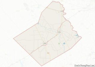
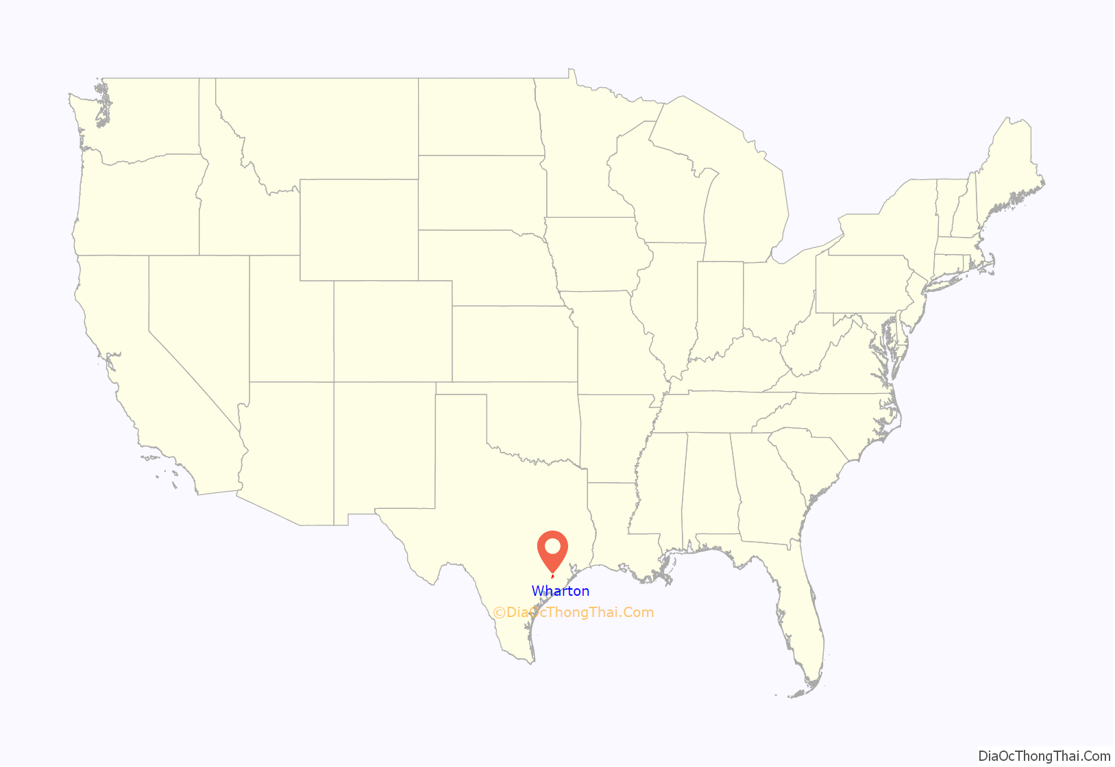
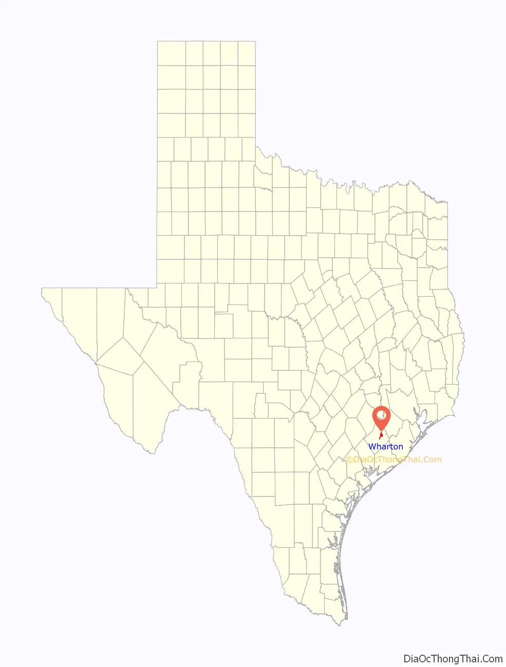
Wharton location map. Where is Wharton city?
History
The area now known as Wharton was part of the Caney Run mail route established in 1838 by the Republic of Texas. The community was named after two leaders in the Anglo-American struggle for Texas independence, brothers John and William Wharton. What developed as a plantation community along the Colorado River was first settled in 1846 by some of Stephen F. Austin’s original colonists. A post office was established the next year.
The first lieutenant governor of Texas, Albert Horton, was an early settler. Land for the courthouse square was donated by William Kincheloe and surveyed by Virgil Stewart and William J. E. Heard. Early settlers came from across the South: Alabama, Kentucky, Virginia, Georgia, and Mississippi.
European Jewish immigrants, arriving as early as the 1850s from Germany, established additional businesses and began the Congregation Shearith Israel (Texas), the only synagogue in a three-county area. Other settlers in the community included Swiss, German, Mexican, and Czech immigrants and, after the Civil War and emancipation, descendants of plantation slaves.
The area was first developed for agriculture, and planters used enslaved African Americans for labor before the Civil War. Early crops included potatoes, cotton, corn, rice, and sugarcane, and commercial enterprises included cattle, molasses, and sugar. At different times, the community had a cottonseed oil mill, a sugarcane factory, gristmills, cotton gins, a milk-processing plant and dairy, an ice plant, and numerous other industries. Oil and sulfur production in the outlying areas contributes to the town’s economy. The population of Wharton was about 200 in the early 1880s.
In 1881, the New York, Texas and Mexican Railway was the first railroad to reach Wharton. More than a decade later, the Gulf, Colorado and Santa Fe was constructed to the town in 1899. These two railroads carried new settlers and stimulated businesses, increasing the population to 1,689 in 1900 and 2,346 in 1920. In 1888, the first opera house opened.
When Wharton was incorporated in 1902, most of the structures were of wood construction. A major fire on December 30 of that year destroyed a number of frame business buildings. Afterward, businessmen and the city government were convinced to use brick construction with fire walls for all buildings within the city limits and to construct a water system with fire hydrants.
A free library was established in 1902 by the New Century Club and adopted by the city in 1904. In 1935, the majority of the library inventory was given to the Wharton Public School. The first public park was dedicated in 1913, and the Wharton Chamber of Commerce organized in 1919.
The city had its greatest growth during the 1930s, despite the Great Depression, with the population increasing from 2,261 in 1930 to 4,386 in 1940. Wharton Little Theatre was organized in 1932, and Wharton County Junior College was established in 1946.
The town’s population reached 5,734 in 1960 and 7,881 in 1970. A community concert series was developed in the 1960s. By the 1980s, Wharton had such diverse industries as Health-focus, the largest physical rehabilitation and therapy service in the nation; M. I. Drilling Fluids, a subsidiary of Magcobar Division of Dresser Industries; the Formosa Plastics Group, consisting of Nan Ya Plastics and J-M Manufacturing; Coastal Warehouse Limited, serving the agricultural industry; and Gulf Coast Medical Center and South Texas Medical clinics. The economy was also dependent on the county government of this seat.
In the 1980s, Horton Foote, an Academy Award-winning screenwriter and a descendant of Lieutenant Governor Horton, who was born and raised in Wharton, moved back and lived in Wharton. The Wharton County Historical Museum features exhibits on notable residents – broadcast journalist Dan Rather and Medal of Honor-recipient Roy Benavidez, as well as a wildlife collection. The Wharton population was stable at the end of the 20th century: 9,033 in 1980, 9,011 in 1990, and 9,237 in 2000. The 2010 census reported a decrease to 8,832.
Downtown Wharton
Plaza Theater
Historic railroad depot
Confederate monument
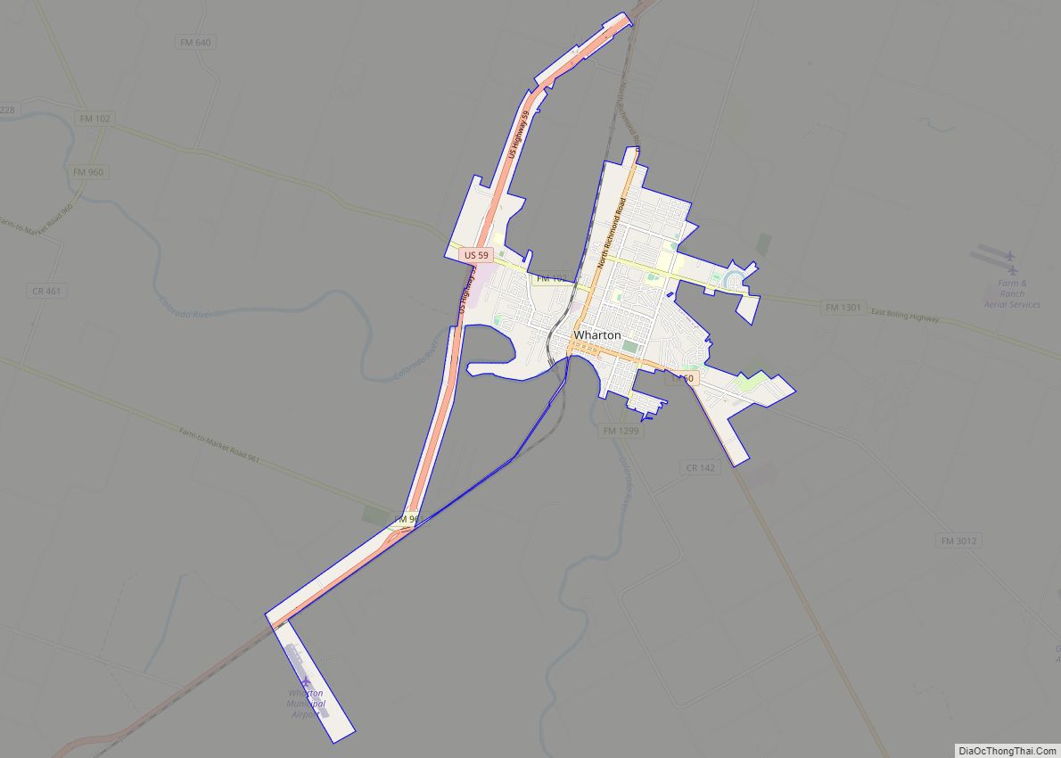
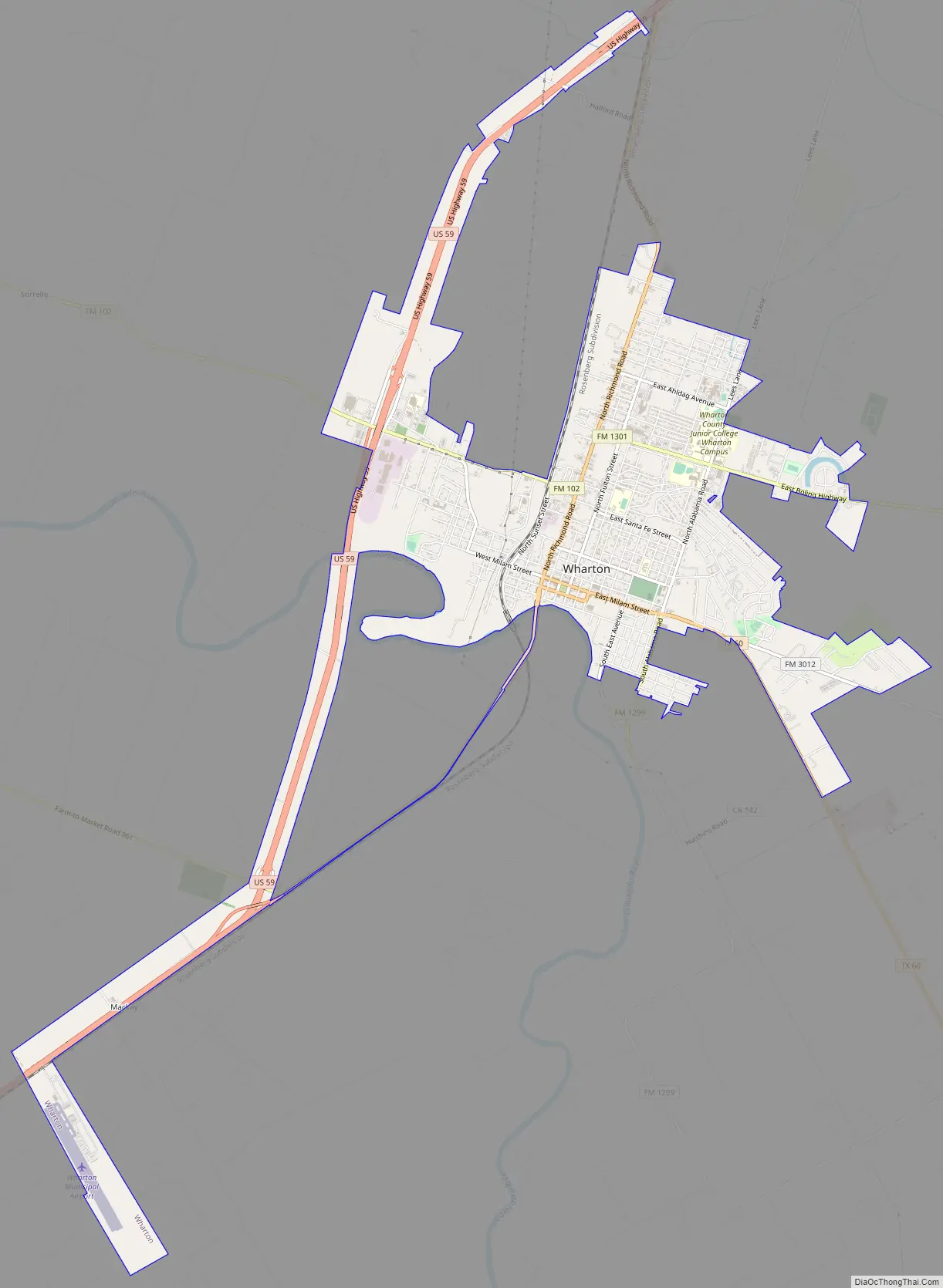
Wharton Road Map
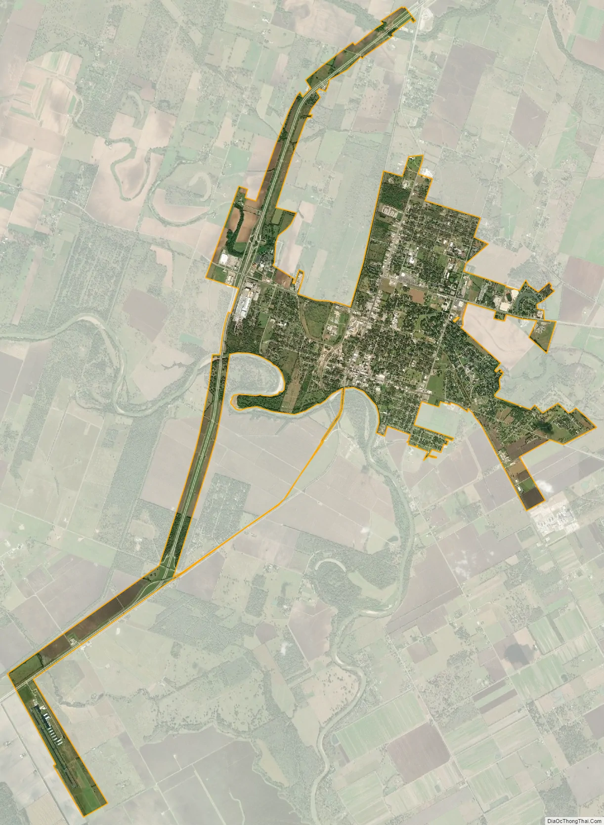
Wharton city Satellite Map
Geography
According to the United States Census Bureau, the city has a total area of 7.2 square miles (19 km), of which 0.14% is covered by water.
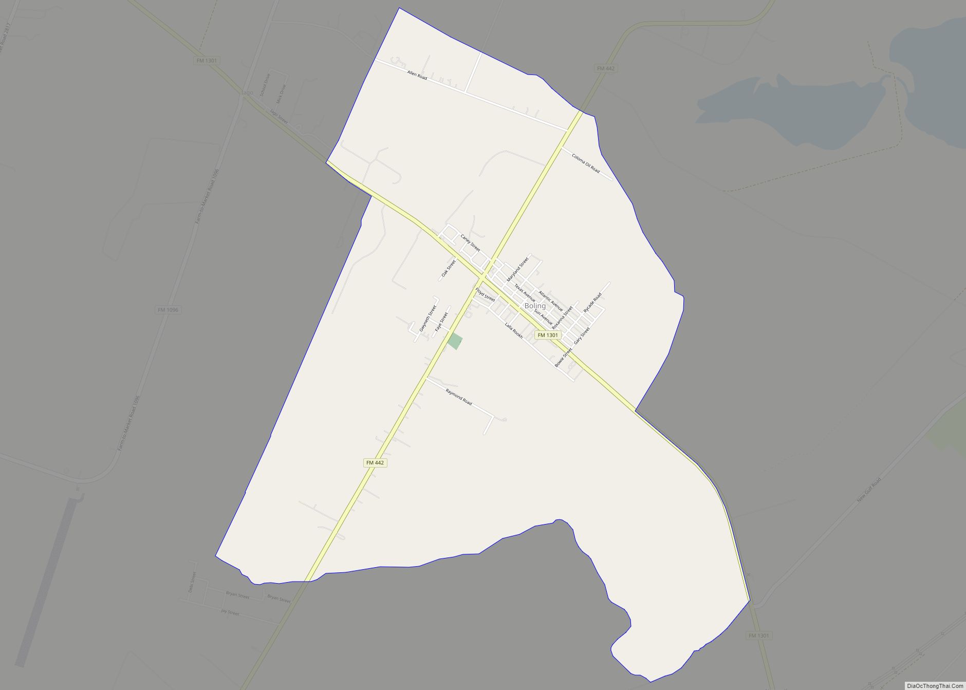
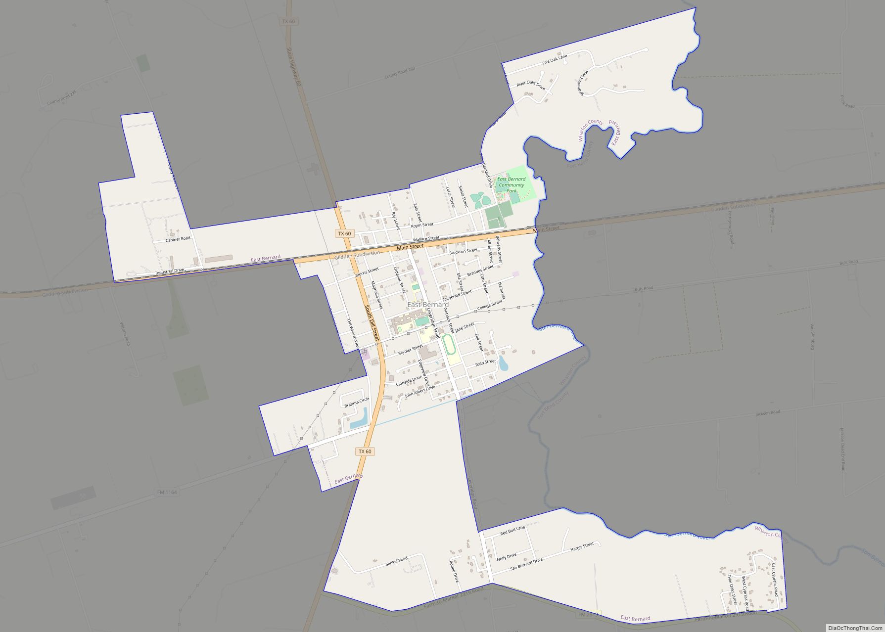
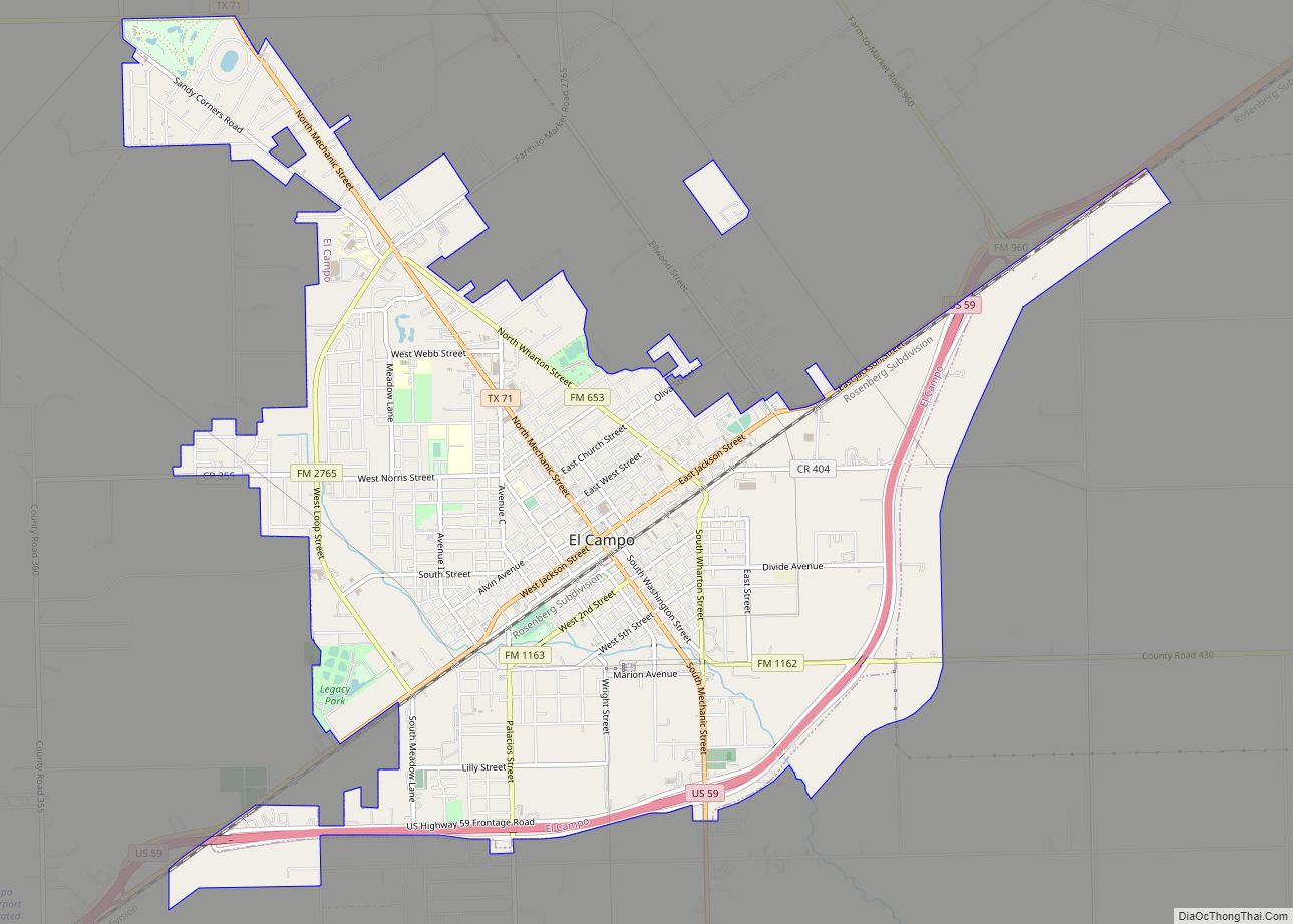
U.S. Route 59 (US 59) (Future Interstate 69) (Future I-69) passes through the west side of Wharton. To the northeast on US 59 (Future I-69) is Rosenberg in Fort Bend County, while El Campo in Wharton County is to the southwest. State Highway 60 (SH 60) passes through Wharton, heading south to Bay City and north to East Bernard. FM 102 starts on SH 60 in Wharton and goes northwest to Eagle Lake in Colorado County. FM 1301 also begins at SH 60 in Wharton and goes southeast to Boling-Iago. The Colorado River flows toward Wharton from the northwest and after passing through the city, the river’s direction is more to the south.
Climate
The climate in this area is characterized by hot, humid summers and generally mild to cool winters. According to the Köppen climate classification, Wharton has a humid subtropical climate, Cfa on climate maps.
Colorado River in Wharton
Riverfront Park
See also
Map of Texas State and its subdivision:- Anderson
- Andrews
- Angelina
- Aransas
- Archer
- Armstrong
- Atascosa
- Austin
- Bailey
- Bandera
- Bastrop
- Baylor
- Bee
- Bell
- Bexar
- Blanco
- Borden
- Bosque
- Bowie
- Brazoria
- Brazos
- Brewster
- Briscoe
- Brooks
- Brown
- Burleson
- Burnet
- Caldwell
- Calhoun
- Callahan
- Cameron
- Camp
- Carson
- Cass
- Castro
- Chambers
- Cherokee
- Childress
- Clay
- Cochran
- Coke
- Coleman
- Collin
- Collingsworth
- Colorado
- Comal
- Comanche
- Concho
- Cooke
- Coryell
- Cottle
- Crane
- Crockett
- Crosby
- Culberson
- Dallam
- Dallas
- Dawson
- Deaf Smith
- Delta
- Denton
- Dewitt
- Dickens
- Dimmit
- Donley
- Duval
- Eastland
- Ector
- Edwards
- El Paso
- Ellis
- Erath
- Falls
- Fannin
- Fayette
- Fisher
- Floyd
- Foard
- Fort Bend
- Franklin
- Freestone
- Frio
- Gaines
- Galveston
- Garza
- Gillespie
- Glasscock
- Goliad
- Gonzales
- Gray
- Grayson
- Gregg
- Grimes
- Guadalupe
- Hale
- Hall
- Hamilton
- Hansford
- Hardeman
- Hardin
- Harris
- Harrison
- Hartley
- Haskell
- Hays
- Hemphill
- Henderson
- Hidalgo
- Hill
- Hockley
- Hood
- Hopkins
- Houston
- Howard
- Hudspeth
- Hunt
- Hutchinson
- Irion
- Jack
- Jackson
- Jasper
- Jeff Davis
- Jefferson
- Jim Hogg
- Jim Wells
- Johnson
- Jones
- Karnes
- Kaufman
- Kendall
- Kenedy
- Kent
- Kerr
- Kimble
- King
- Kinney
- Kleberg
- Knox
- La Salle
- Lamar
- Lamb
- Lampasas
- Lavaca
- Lee
- Leon
- Liberty
- Limestone
- Lipscomb
- Live Oak
- Llano
- Loving
- Lubbock
- Lynn
- Madison
- Marion
- Martin
- Mason
- Matagorda
- Maverick
- McCulloch
- McLennan
- McMullen
- Medina
- Menard
- Midland
- Milam
- Mills
- Mitchell
- Montague
- Montgomery
- Moore
- Morris
- Motley
- Nacogdoches
- Navarro
- Newton
- Nolan
- Nueces
- Ochiltree
- Oldham
- Orange
- Palo Pinto
- Panola
- Parker
- Parmer
- Pecos
- Polk
- Potter
- Presidio
- Rains
- Randall
- Reagan
- Real
- Red River
- Reeves
- Refugio
- Roberts
- Robertson
- Rockwall
- Runnels
- Rusk
- Sabine
- San Augustine
- San Jacinto
- San Patricio
- San Saba
- Schleicher
- Scurry
- Shackelford
- Shelby
- Sherman
- Smith
- Somervell
- Starr
- Stephens
- Sterling
- Stonewall
- Sutton
- Swisher
- Tarrant
- Taylor
- Terrell
- Terry
- Throckmorton
- Titus
- Tom Green
- Travis
- Trinity
- Tyler
- Upshur
- Upton
- Uvalde
- Val Verde
- Van Zandt
- Victoria
- Walker
- Waller
- Ward
- Washington
- Webb
- Wharton
- Wheeler
- Wichita
- Wilbarger
- Willacy
- Williamson
- Wilson
- Winkler
- Wise
- Wood
- Yoakum
- Young
- Zapata
- Zavala
- Alabama
- Alaska
- Arizona
- Arkansas
- California
- Colorado
- Connecticut
- Delaware
- District of Columbia
- Florida
- Georgia
- Hawaii
- Idaho
- Illinois
- Indiana
- Iowa
- Kansas
- Kentucky
- Louisiana
- Maine
- Maryland
- Massachusetts
- Michigan
- Minnesota
- Mississippi
- Missouri
- Montana
- Nebraska
- Nevada
- New Hampshire
- New Jersey
- New Mexico
- New York
- North Carolina
- North Dakota
- Ohio
- Oklahoma
- Oregon
- Pennsylvania
- Rhode Island
- South Carolina
- South Dakota
- Tennessee
- Texas
- Utah
- Vermont
- Virginia
- Washington
- West Virginia
- Wisconsin
- Wyoming