Wheeler County is a county located in the central portion of the U.S. state of Georgia. As of the 2020 census, the population was 7,471. The county seat is Alamo. The county is one of the most impoverished counties in the nation. The American Community Survey’s 2009–2013 average reports that the county’s per-capita income of $8,948 makes it the second-poorest county in the United States by this metric. The measurement however is misleading as Wheeler County is the site of Wheeler Correctional Facility, a large prison with a capacity of 3,028 prisoners, about 40 percent of the county’s total population. Most prisoners have little income. The prison was opened in 1998 and the prison population may also account for the increased population of the county in the early 2000s.
| Name: | Wheeler County |
|---|---|
| FIPS code: | 13-309 |
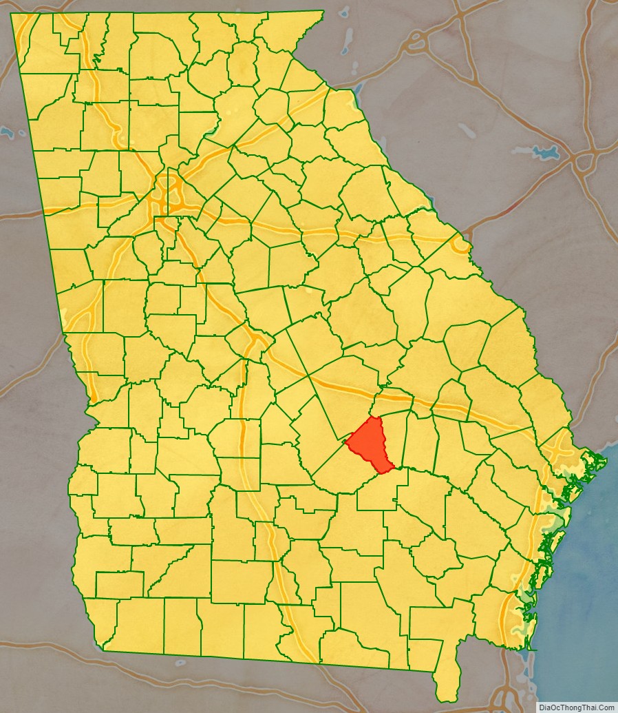
| State: | Georgia |
| Founded: | 1912 |
| Named for: | Joseph Wheeler |
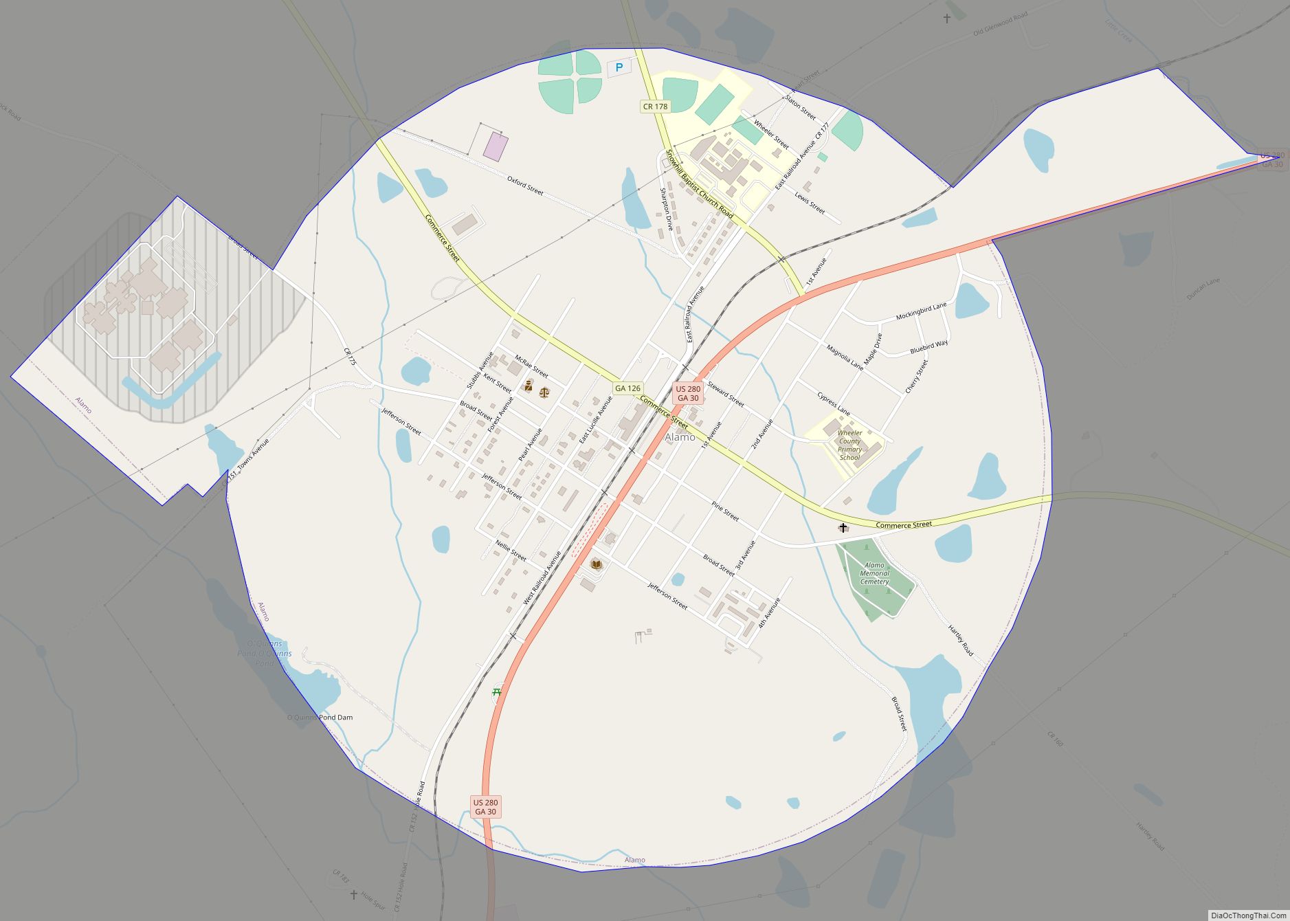
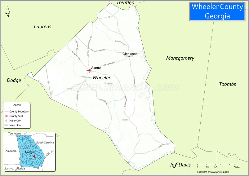
| Seat: | Alamo |
| Largest city: | Alamo |
| Total Area: | 300 sq mi (800 km²) |
| Land Area: | 295 sq mi (760 km²) |
| Total Population: | 7,471 |
| Population Density: | 25/sq mi (10/km²) |
| Time zone: | UTC−5 (Eastern) |
| Summer Time Zone (DST): | UTC−4 (EDT) |
| Website: | wheelercounty.georgia.gov |
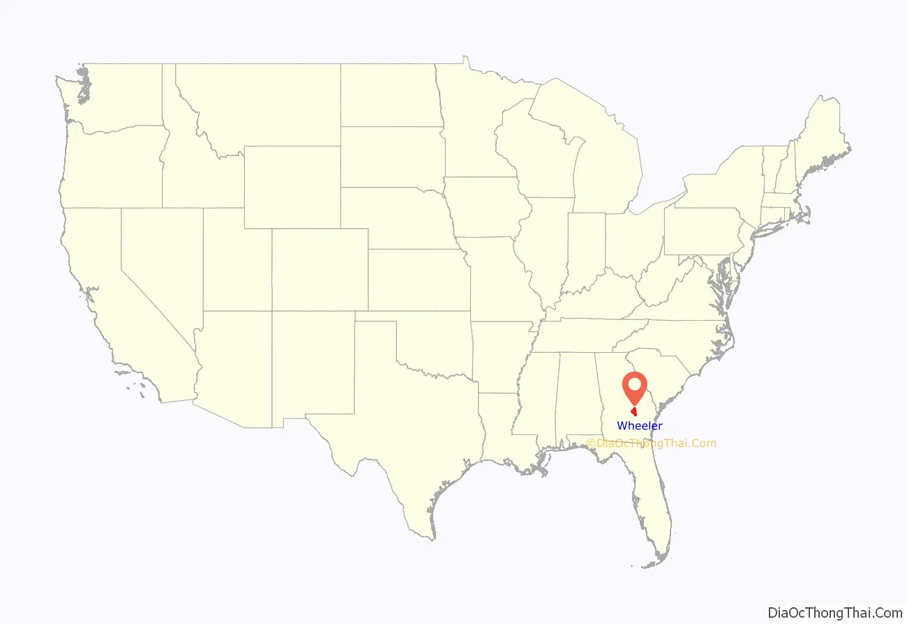
Wheeler County location map. Where is Wheeler County?
History
Wheeler County is named after Confederate General Joseph Wheeler. The constitutional amendment to create the county was proposed August 14, 1912, and ratified November 5, 1912.
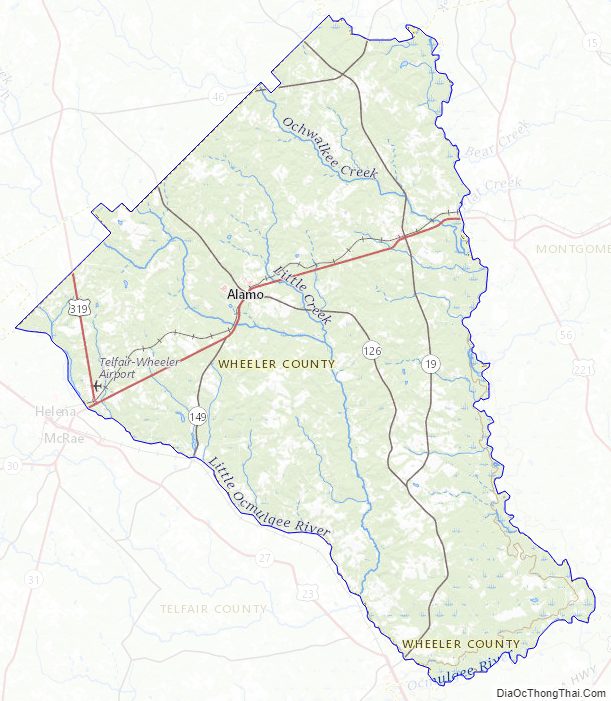
Wheeler County Road Map
Geography
According to the U.S. Census Bureau, the county has a total area of 300 square miles (780 km), of which 295 square miles (760 km) is land and 4.8 square miles (12 km) (1.6%) is water.
The eastern portion of Wheeler County, defined by a line running from north of Alamo to the southern border of the county, due south of Mount Vernon, is located in the Lower Oconee River sub-basin of the Altamaha River basin. The bulk of the rest of the county is located in the Little Ocmulgee River sub-basin of the same Altamaha River basin, except for a small southern portion of Wheeler County, east of Lumber City, which is located in the Lower Ocmulgee River sub-basin of the larger Altamaha River basin.
Major highways
- U.S. Route 280
- U.S. Route 319
- U.S. Route 441
- State Route 19
- State Route 30
- State Route 31
- State Route 46
- State Route 126
- State Route 149
Adjacent counties
- Treutlen County (north)
- Montgomery County (east)
- Jeff Davis County (southeast)
- Telfair County (southwest)
- Dodge County (west)
- Laurens County (northwest)
Wheeler County Topographic Map
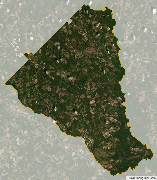
Wheeler County Satellite Map
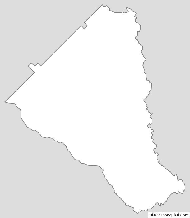
Wheeler County Outline Map