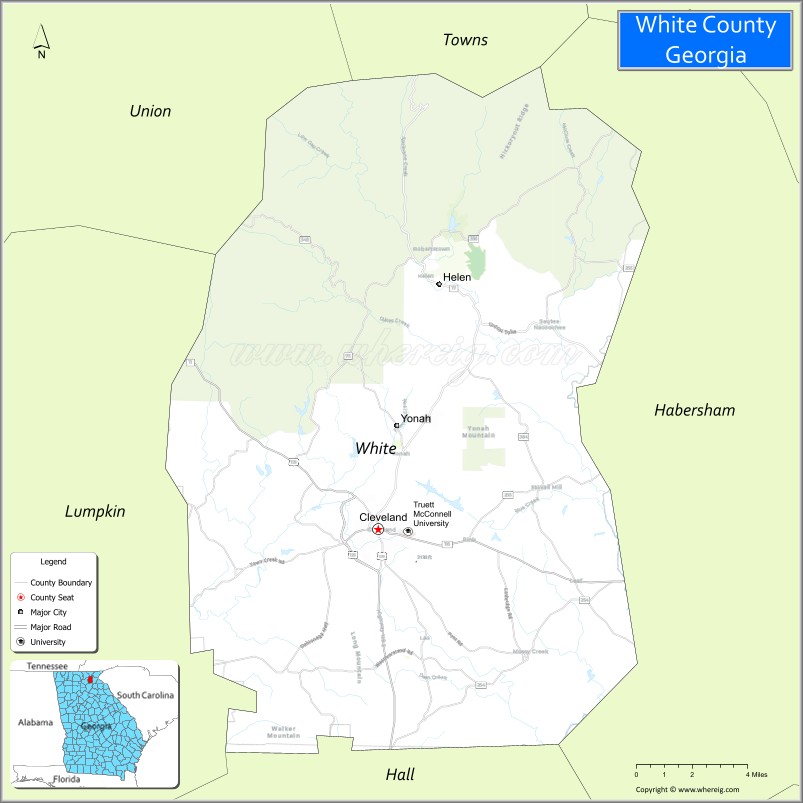
White County is a county located in the northeastern part of the U.S. state of Georgia. As of the 2020 census, the population was 28,003. The county seat is Cleveland. The county was created on December 22, 1857, formerly a part of Habersham County and most likely was named for Newton County Representative David T. White, who helped a Habersham representative successfully attain passage of an act creating the new county.
| Name: | White County |
|---|---|
| FIPS code: | 13-311 |
| State: | Georgia |
| Founded: | 1857 |
| Named for: | David T. White |
| Seat: | Cleveland |
| Largest city: | Cleveland |
| Total Area: | 242 sq mi (630 km²) |
| Land Area: | 241 sq mi (620 km²) |
| Total Population: | 28,003 |
| Population Density: | 116/sq mi (45/km²) |
| Time zone: | UTC−5 (Eastern) |
| Summer Time Zone (DST): | UTC−4 (EDT) |
| Website: | www.whitecountyga.gov |
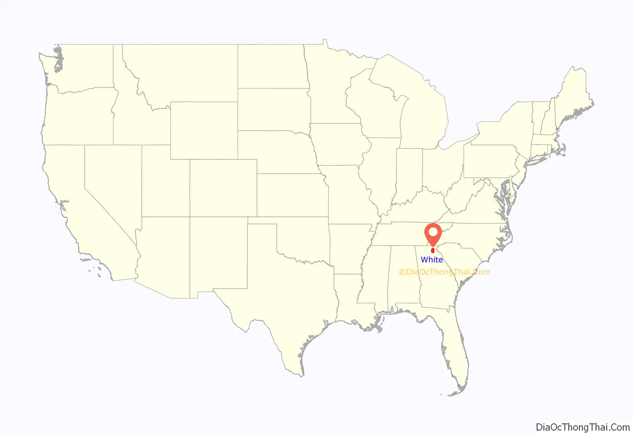
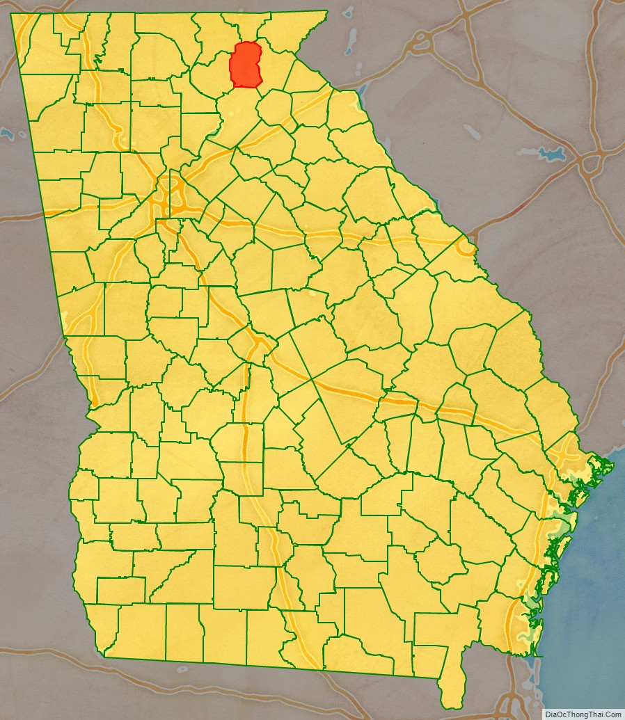
White County location map. Where is White County?
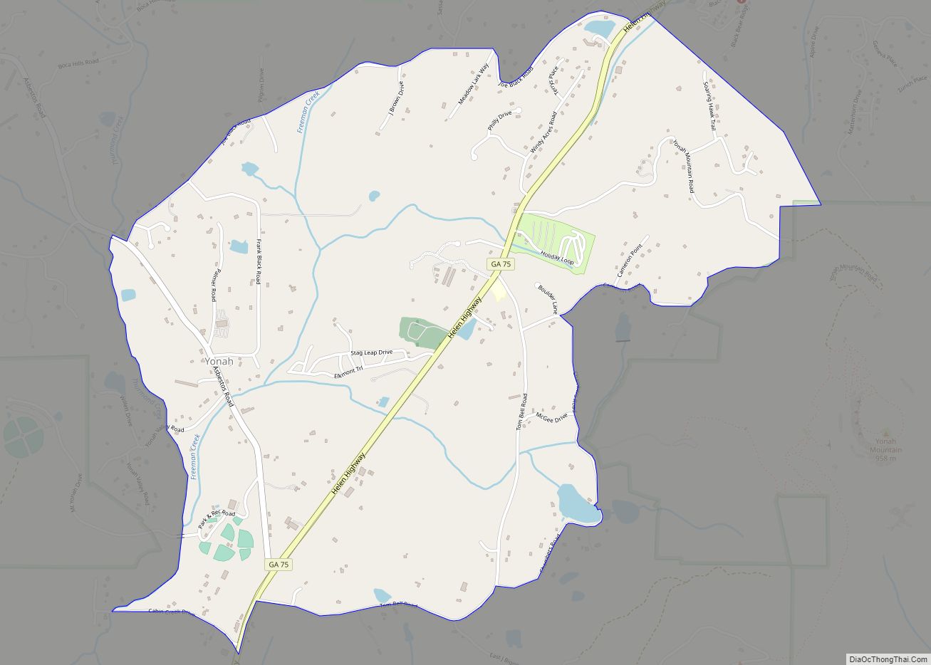
White County Road Map
Geography
According to the U.S. Census Bureau, the county has a total area of 242 square miles (630 km), of which 241 square miles (620 km) is land and 1.5 square miles (3.9 km) (0.6%) is water.
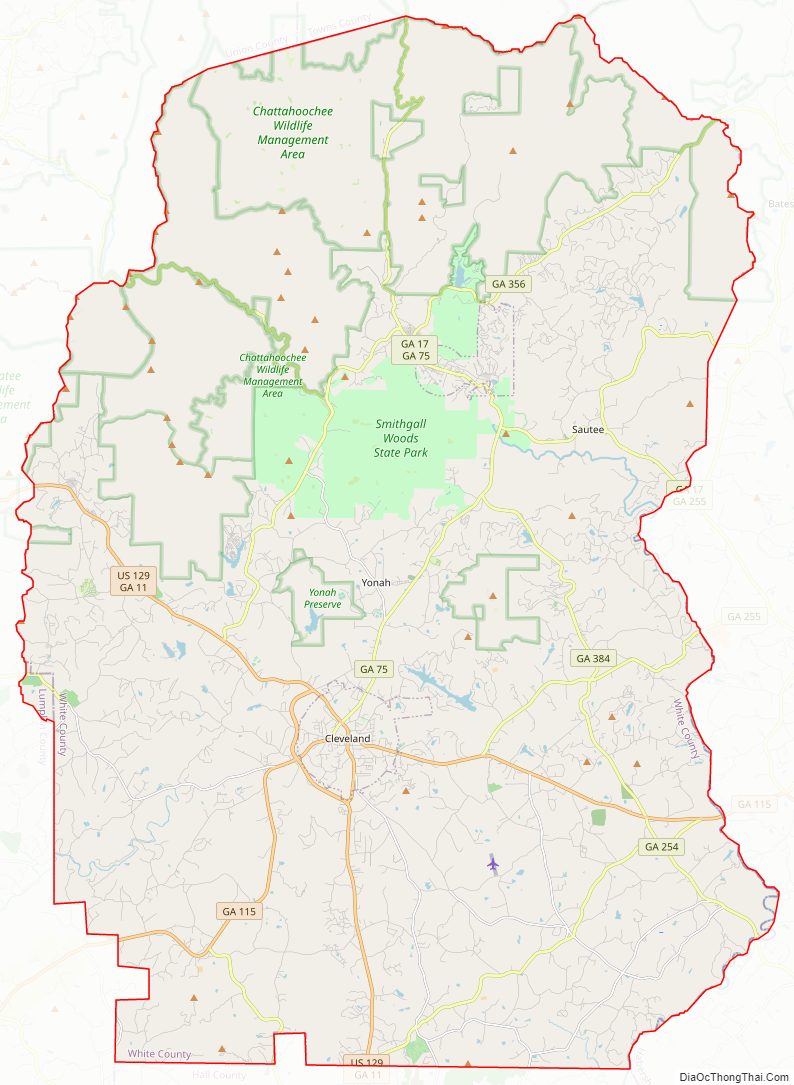
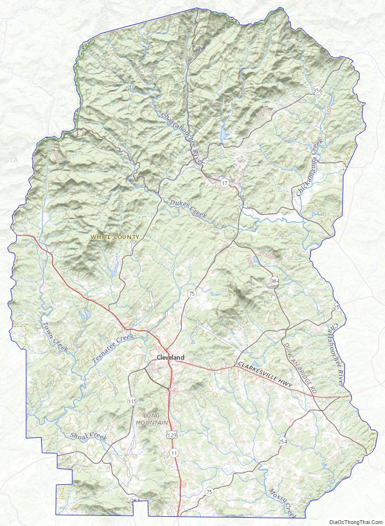
The county is mostly located in the foothills of the Blue Ridge Mountains. Northern parts of the county have the highest elevations, being in the mountains themselves. The highest point in White County is 4,430-foot (1,350 m) Tray Mountain, shared with Towns County to the north. Tray Mountain is the 6th-highest mountain in Georgia. Another very prominent White County peak is Yonah Mountain, also known as Mount Yonah. This 3,143-foot (958 m) peak, located between Helen and Cleveland, is rimmed by sheer cliffs and is the highest point on Georgia’s Piedmont Plateau.
All of White County is located in the Upper Chattahoochee River sub-basin of the ACF River Basin (Apalachicola-Chattahoochee-Flint River Basin).
Adjacent counties
- Towns County – north
- Habersham County – east
- Hall County – south
- Lumpkin County – west
- Union County – northwest
Protected areas
- Chattahoochee National Forest (part)
- Unicoi State Park
White County Topographic Map
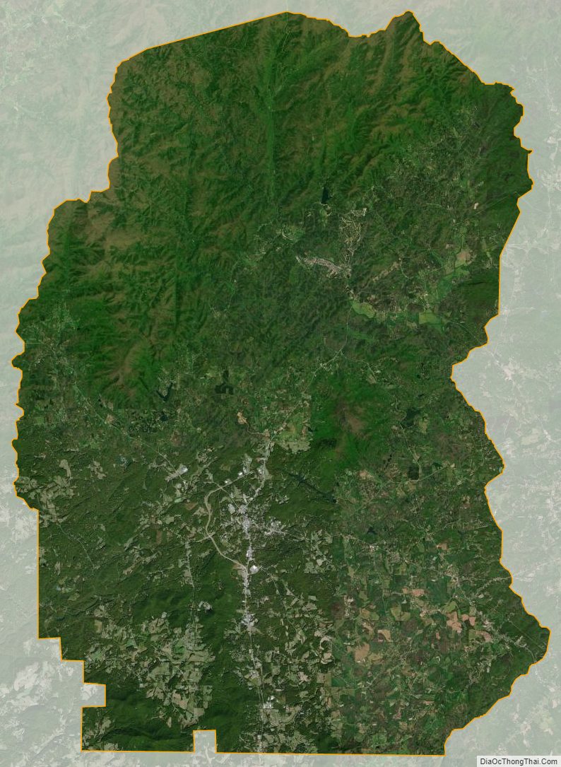
White County Satellite Map
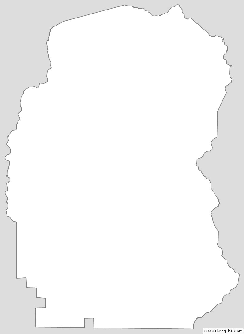
White County Outline Map