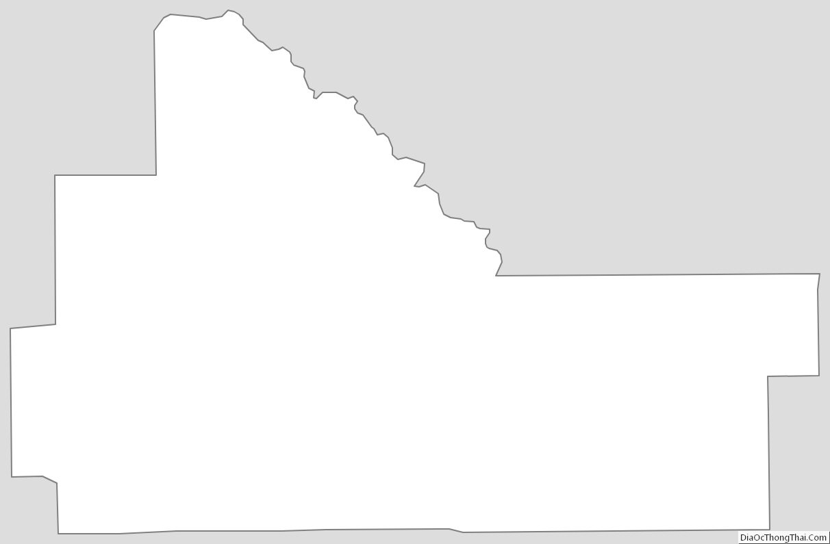
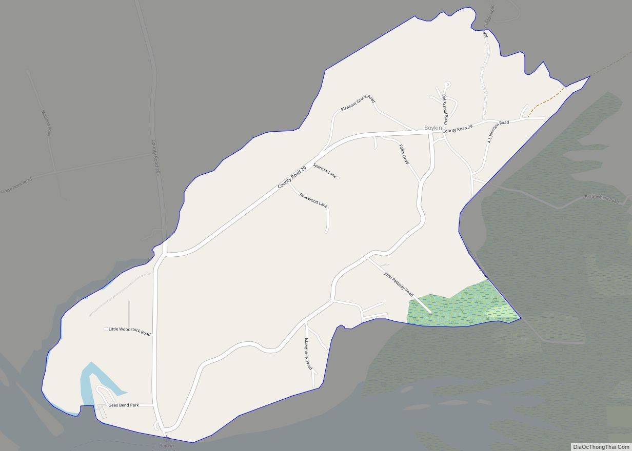
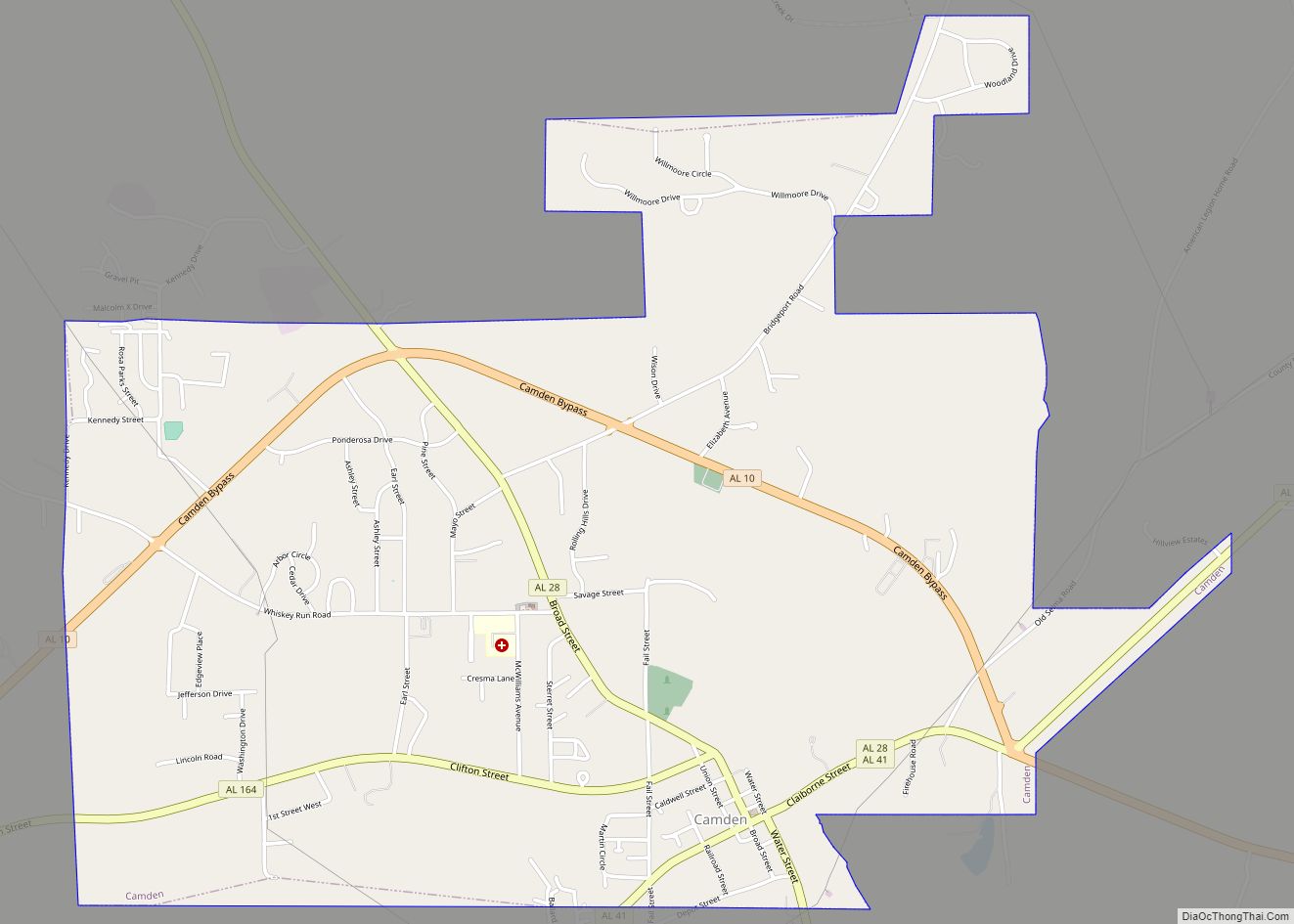
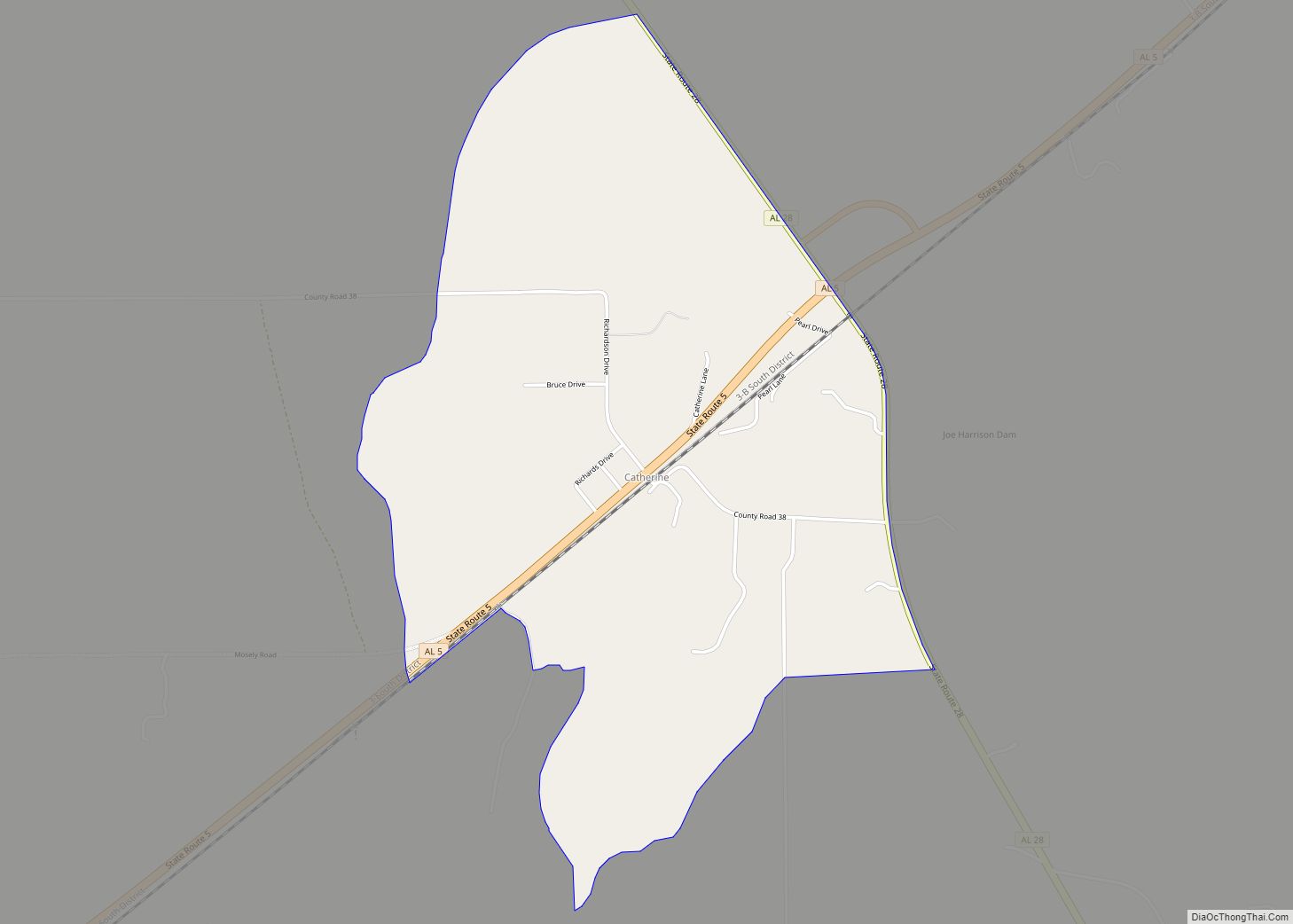
Wilcox County is a county of the U.S. state of Alabama. As of the 2020 census, the population was 10,600. Its county seat is Camden.
| Name: | Wilcox County |
|---|---|
| FIPS code: | 01-131 |
| State: | Alabama |
| Founded: | December 13, 1819 |
| Named for: | Joseph M. Wilcox |
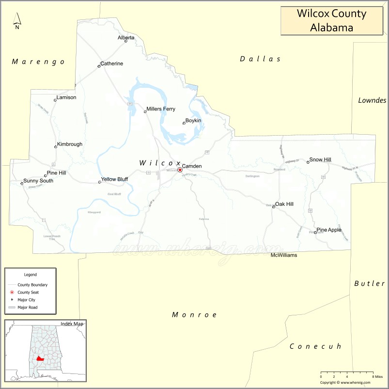
| Seat: | Camden |
| Largest city: | Camden |
| Total Area: | 907 sq mi (2,350 km²) |
| Land Area: | 888 sq mi (2,300 km²) |
| Total Population: | 10,600 |
| Population Density: | 12/sq mi (4.5/km²) |
| Time zone: | UTC−6 (Central) |
| Summer Time Zone (DST): | UTC−5 (CDT) |
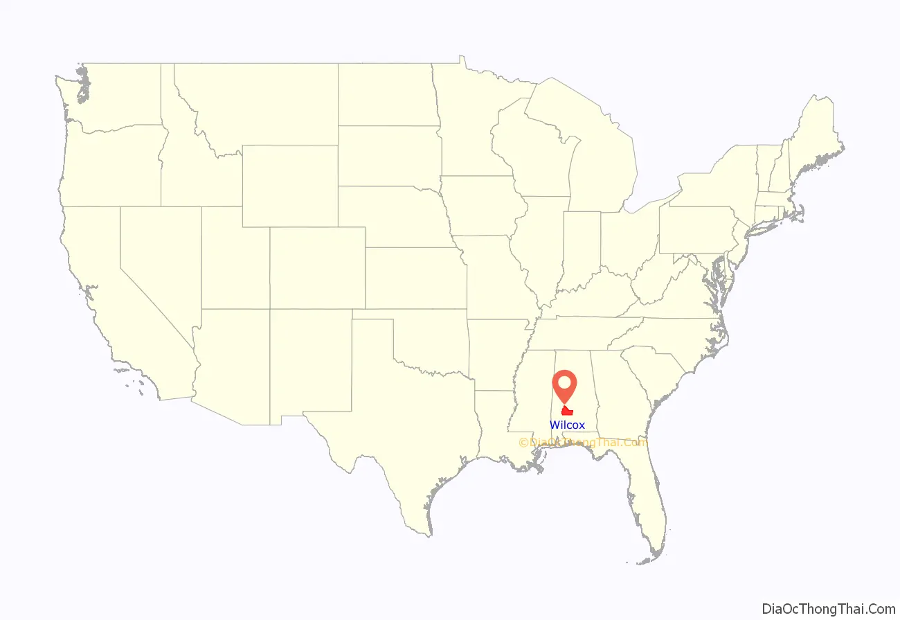
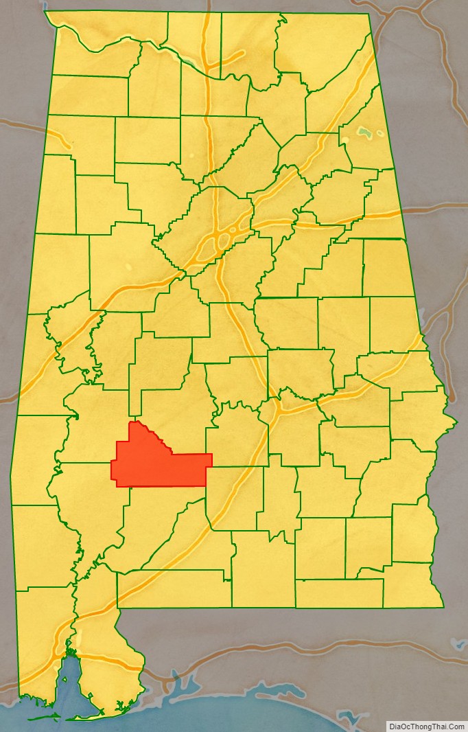
Wilcox County location map. Where is Wilcox County?
History
Wilcox County was established on December 13, 1819. The county was named after Joseph M. Wilcox, a US Army lieutenant who was killed in Alabama during the Creek War.
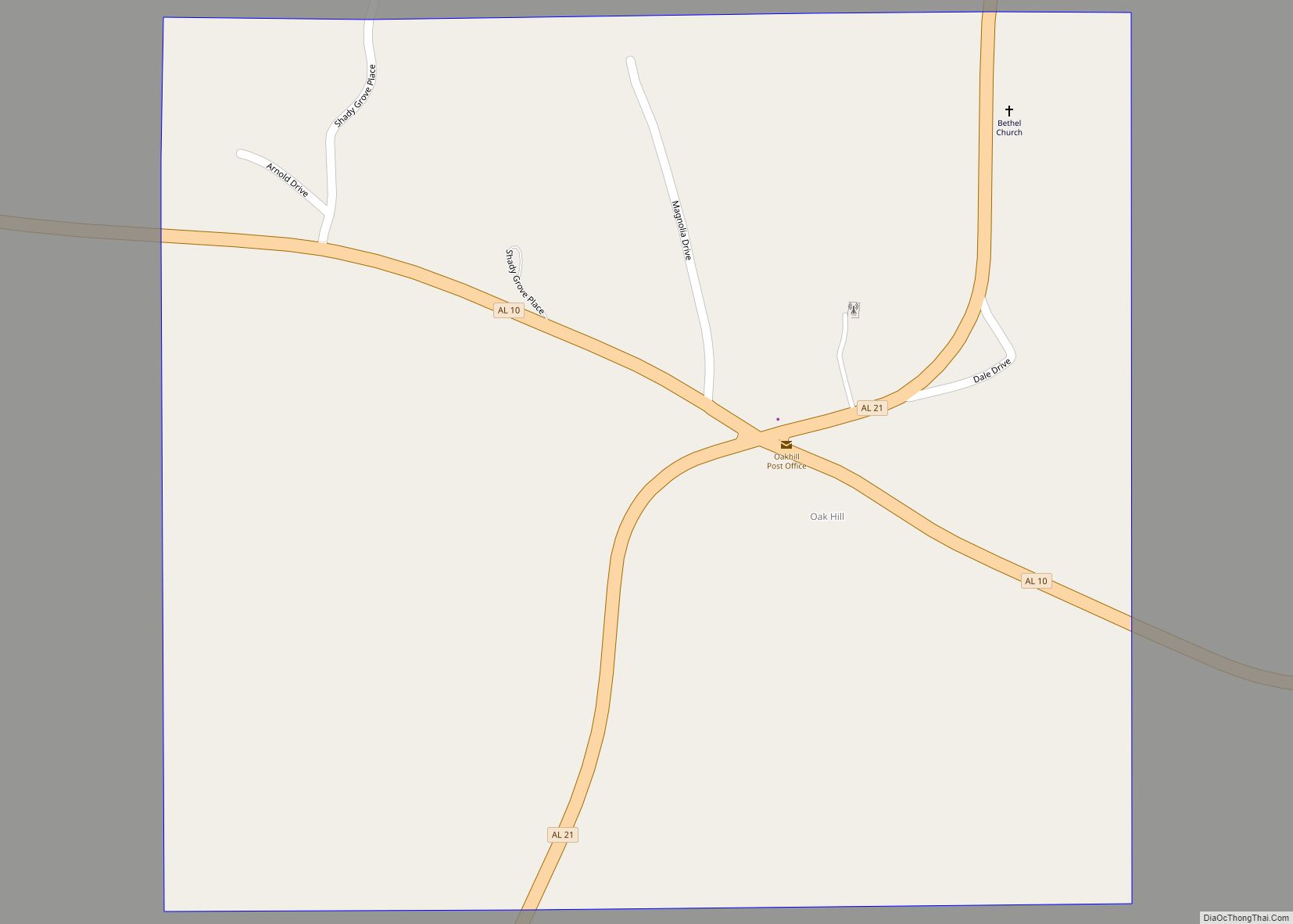
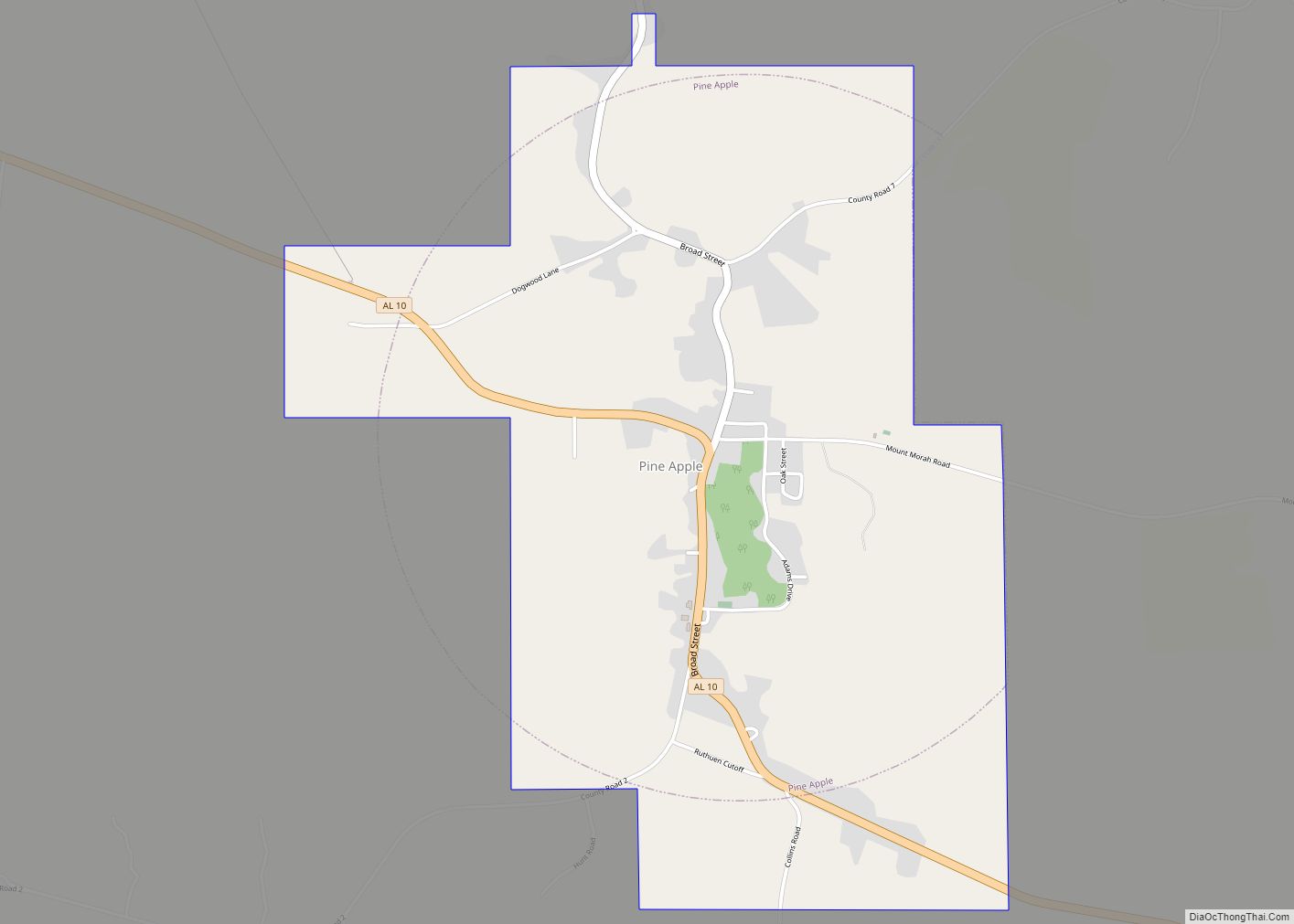
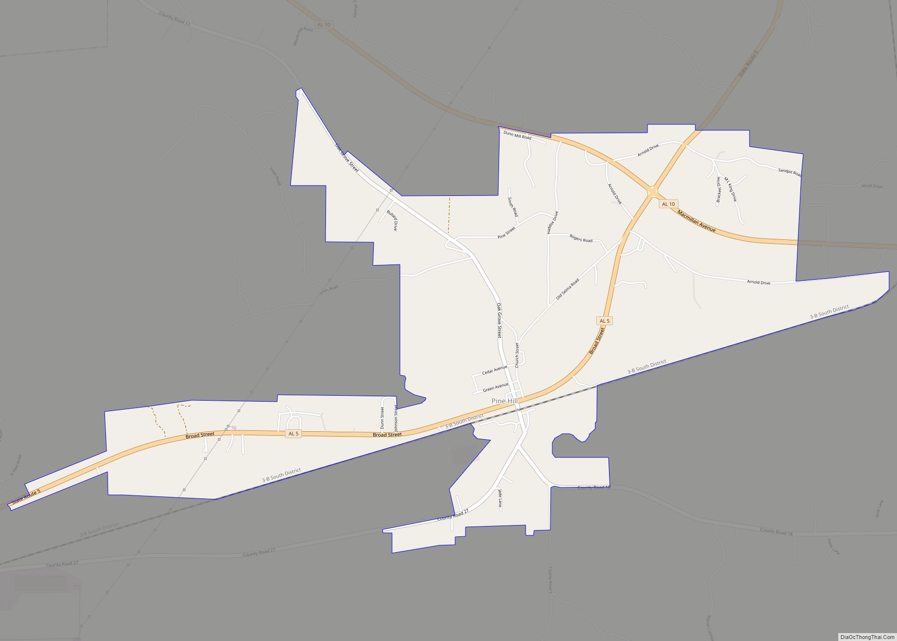
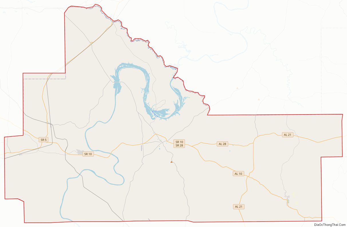
Wilcox County Road Map
Geography
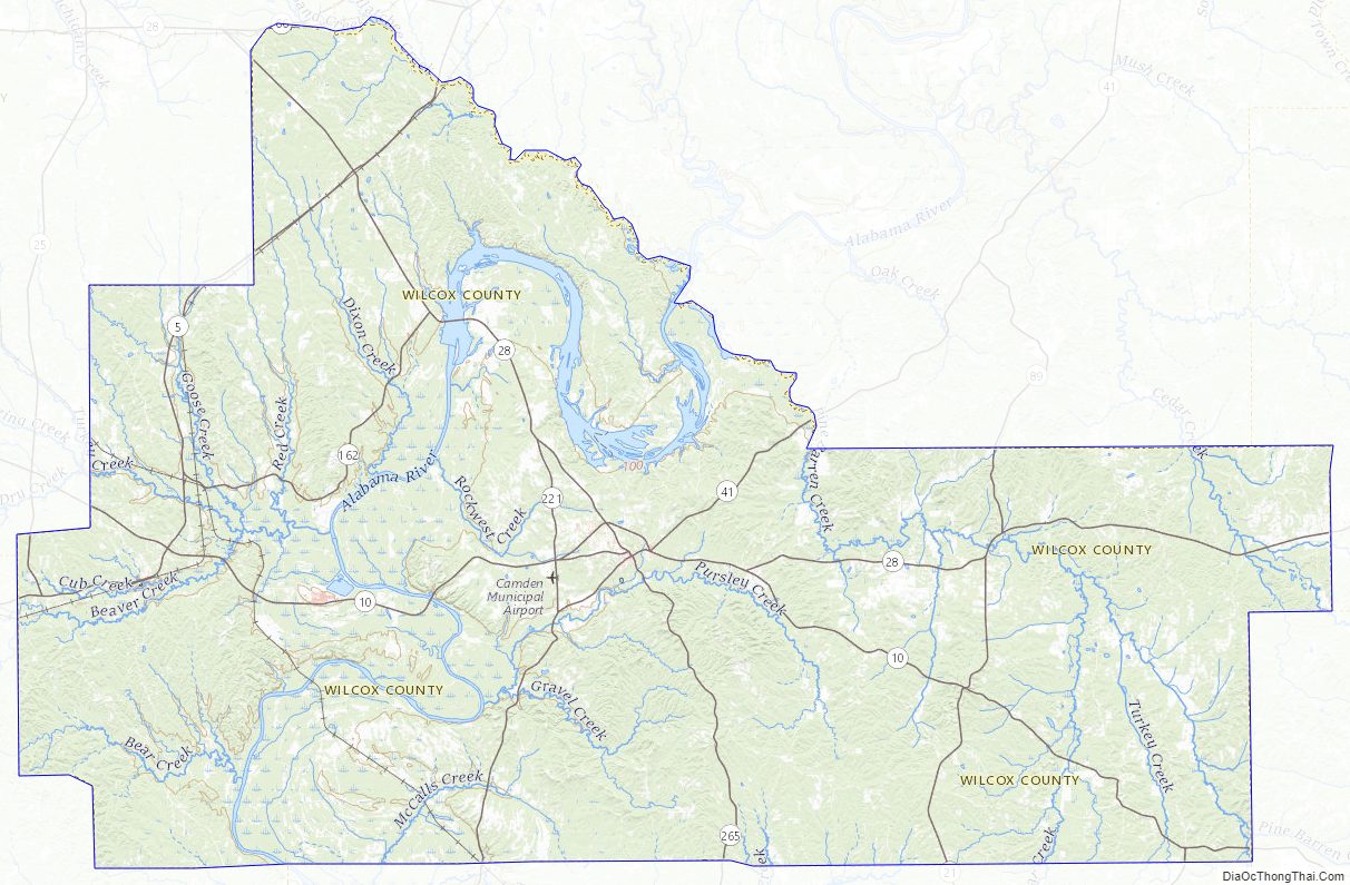
According to the United States Census Bureau, the county has a total area of 907 square miles (2,350 km), of which 888 square miles (2,300 km) is land and 19 square miles (49 km) (2.1%) is water.
Major highways
- State Route 5
- State Route 10
- State Route 21
- State Route 25
- State Route 28
- State Route 41
- State Route 89
- State Route 162
- State Route 164
- State Route 221
- State Route 265
Adjacent counties
- Dallas County (northeast)
- Lowndes County (east-northeast)
- Butler County (east-southeast)
- Monroe County (south)
- Clarke County (southwest)
- Marengo County (northwest)
Wilcox County Topographic Map
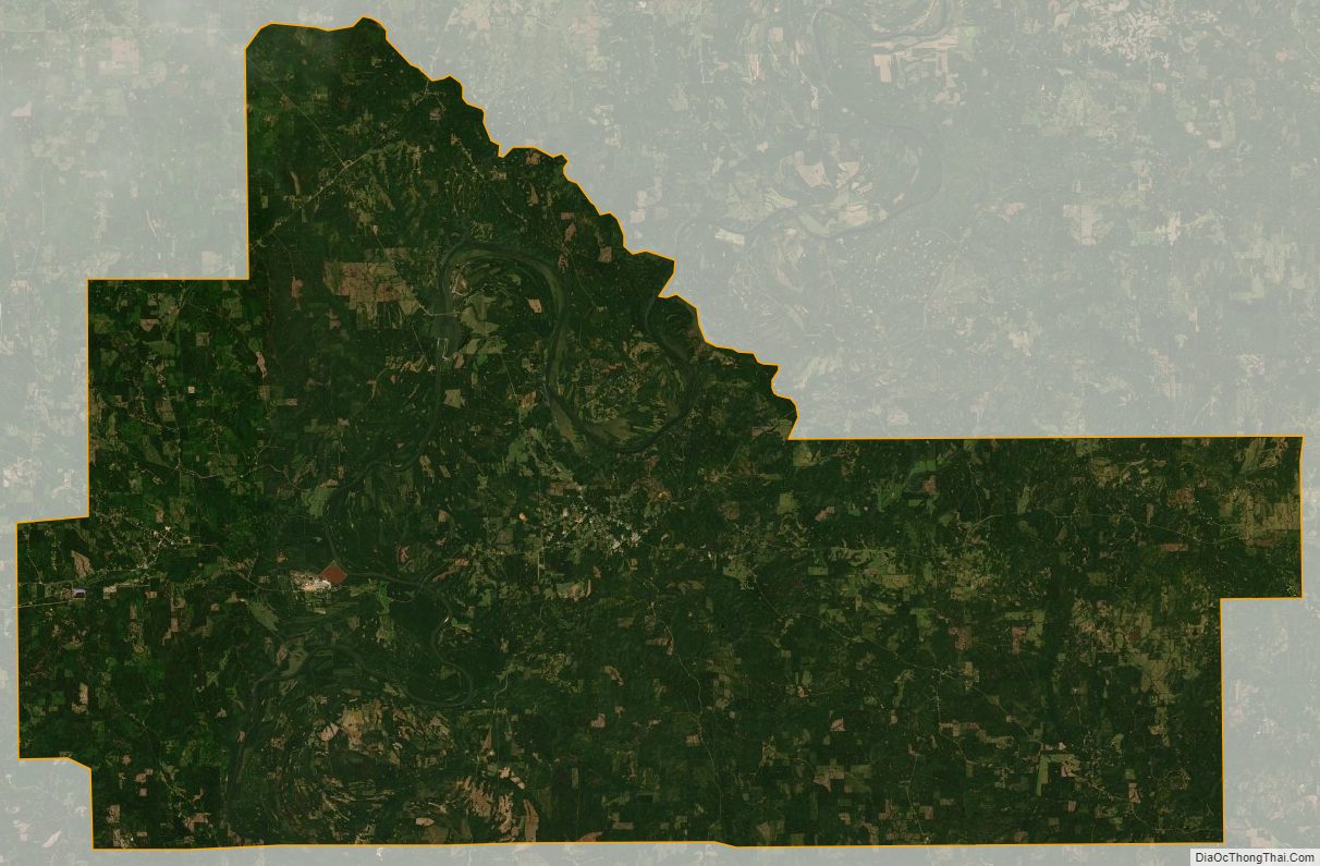
Wilcox County Satellite Map
Wilcox County Outline Map