Marengo County is a county located in the west central portion of the U.S. state of Alabama. As of the 2020 census, the population was 19,323. The largest city is Demopolis, and the county seat is Linden. It is named in honor of the Battle of Marengo near Turin, Italy, where French leader Napoleon Bonaparte defeated the Austrians on June 14, 1800.
| Name: | Marengo County |
|---|---|
| FIPS code: | 01-091 |
| State: | Alabama |
| Founded: | February 6, 1818 |
| Named for: | Battle of Marengo |
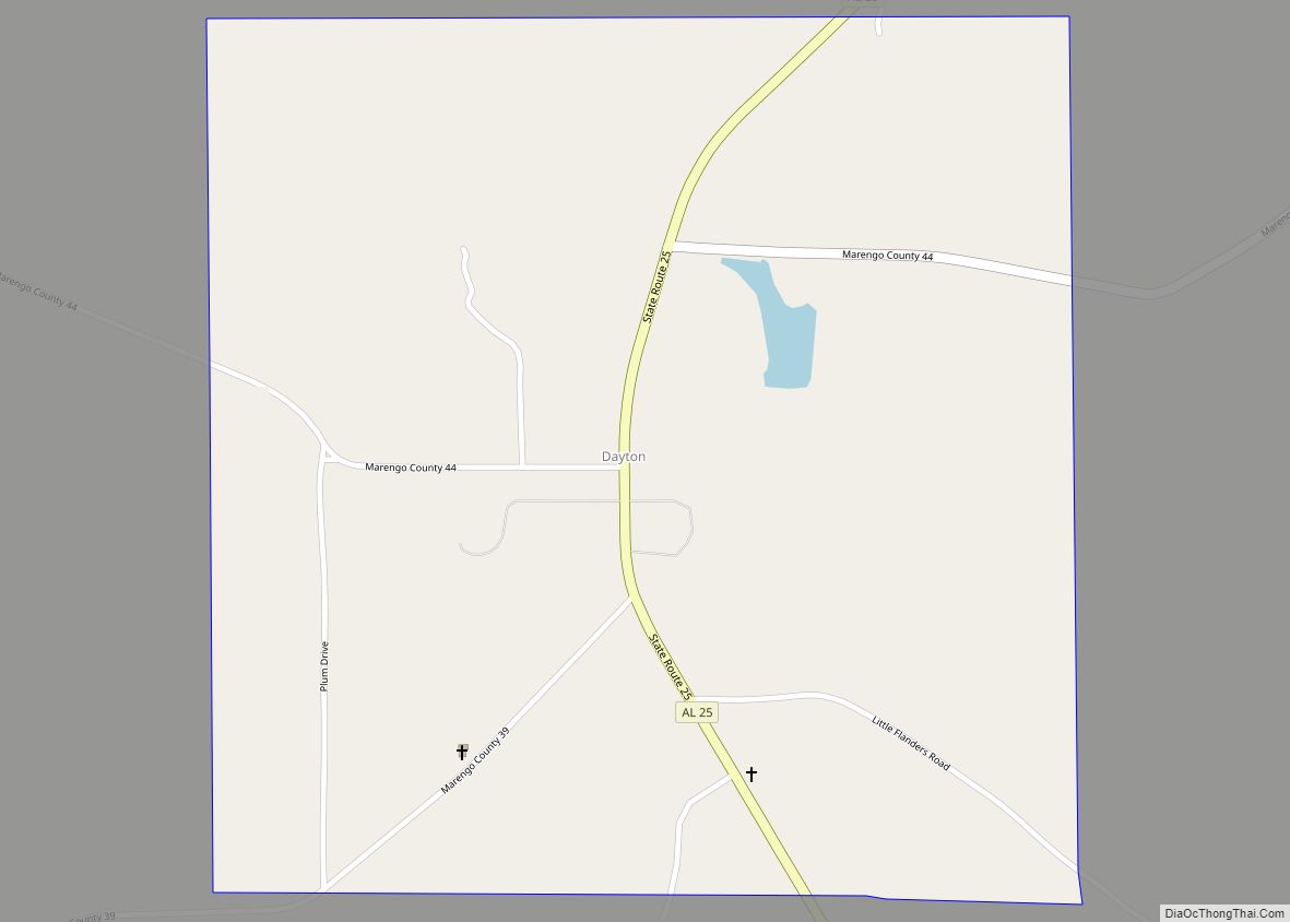
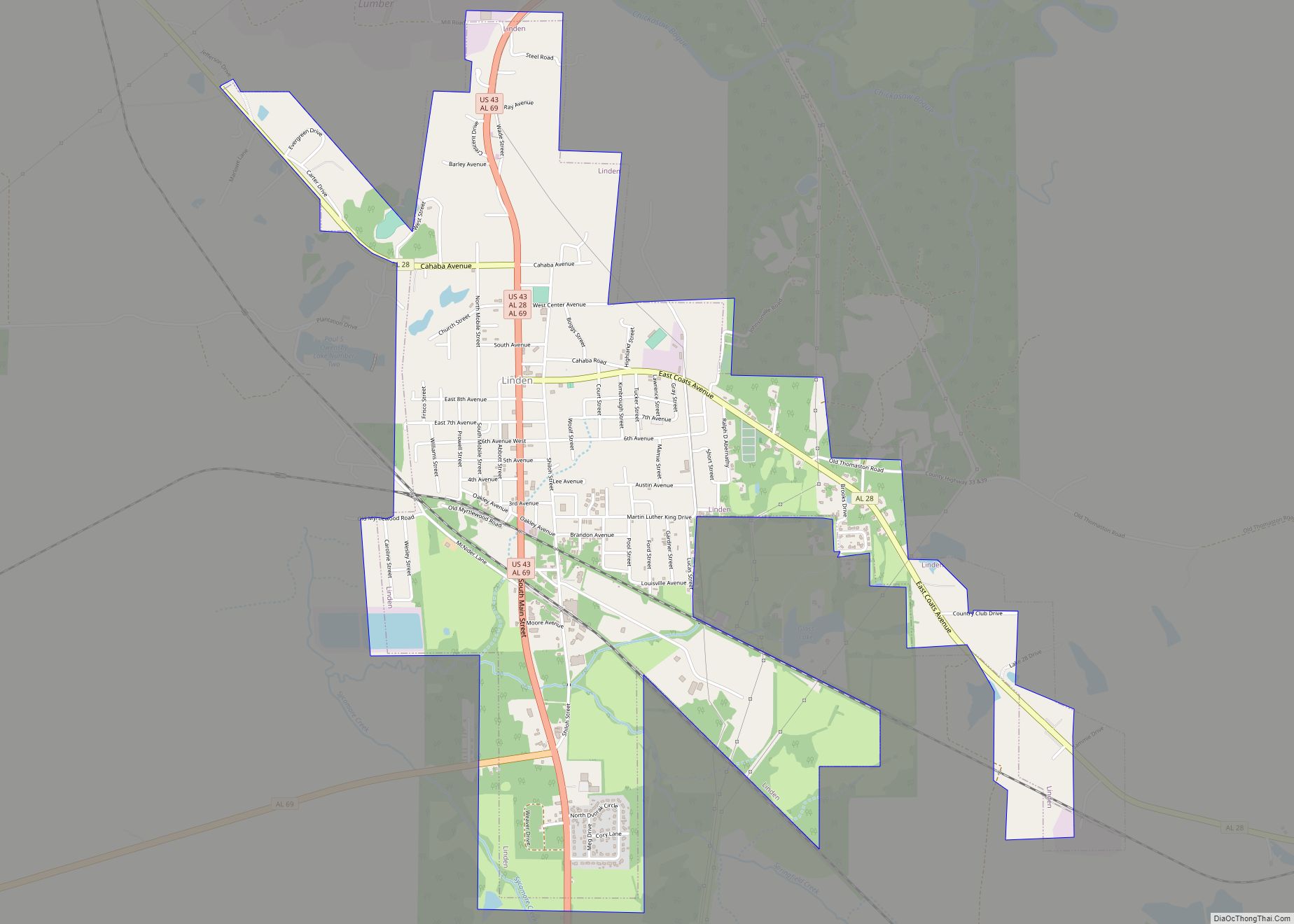
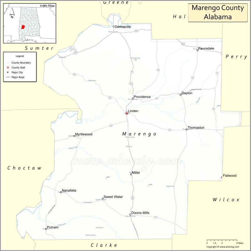
| Seat: | Linden |
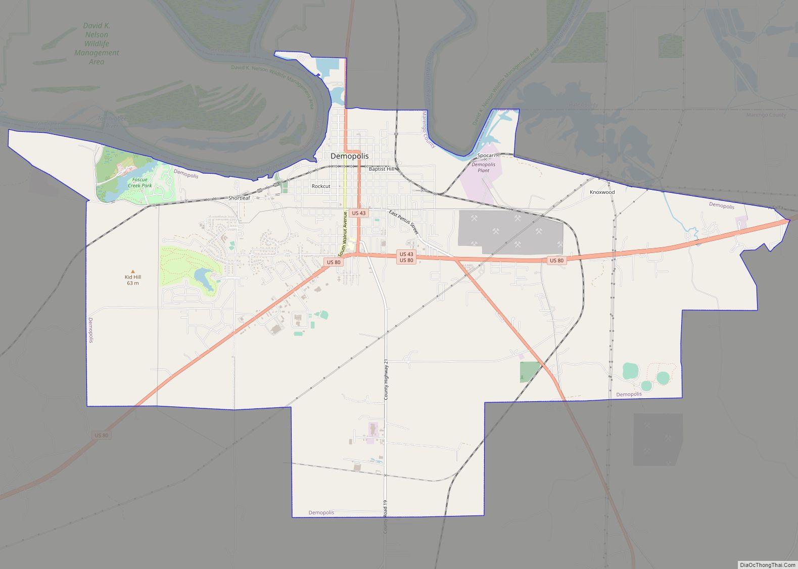
| Largest city: | Demopolis |
| Total Area: | 983 sq mi (2,550 km²) |
| Land Area: | 977 sq mi (2,530 km²) |
| Total Population: | 19,323 |
| Population Density: | 20/sq mi (7.6/km²) |
| Time zone: | UTC−6 (Central) |
| Summer Time Zone (DST): | UTC−5 (CDT) |
| Website: | marengocountyal.com |
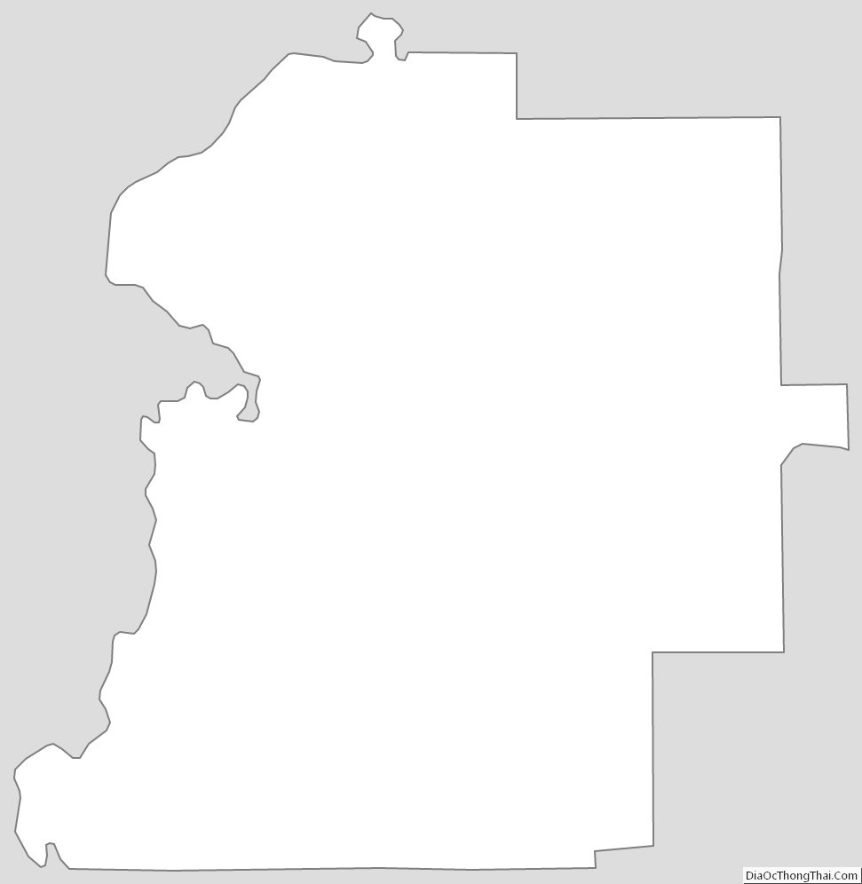
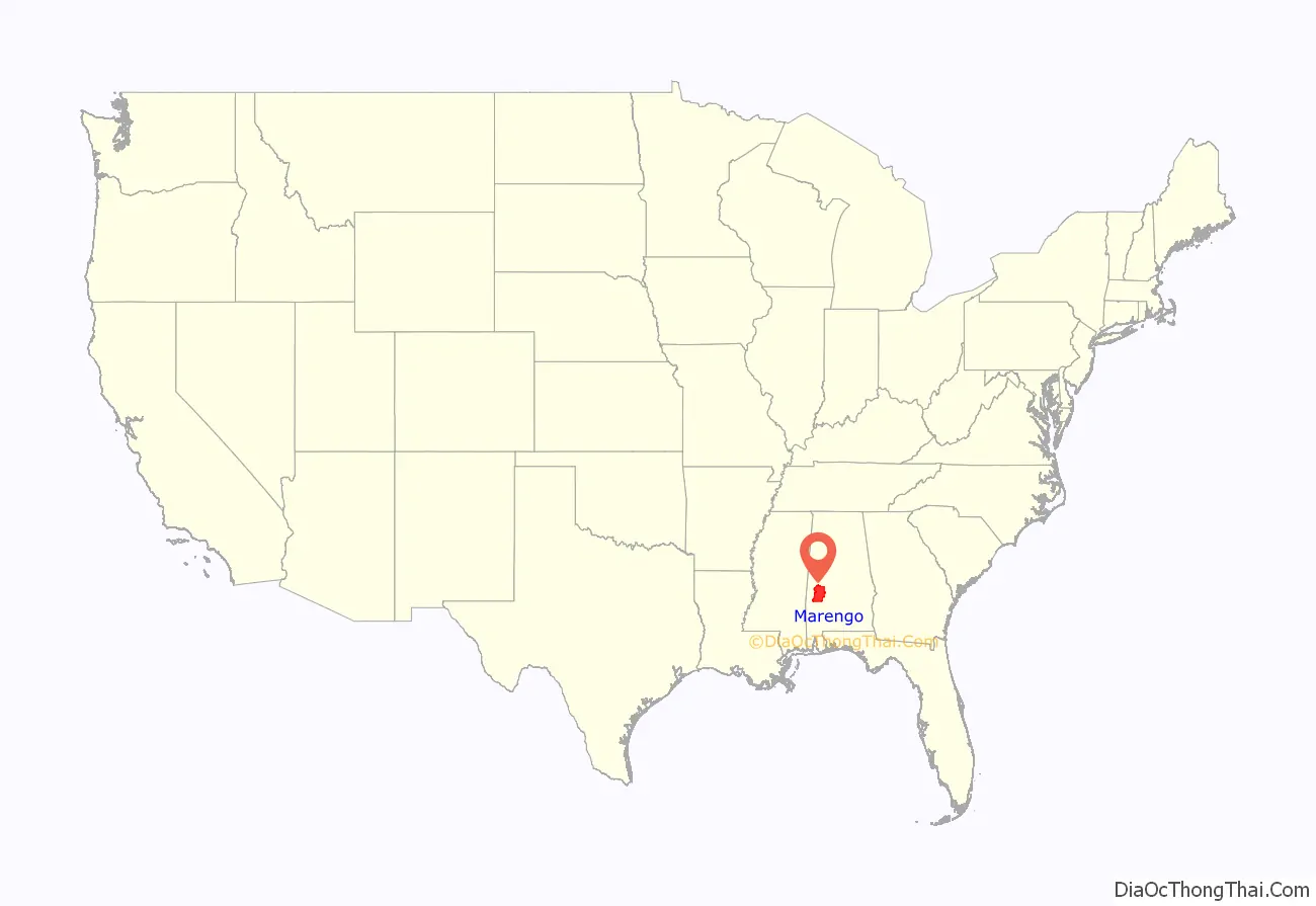
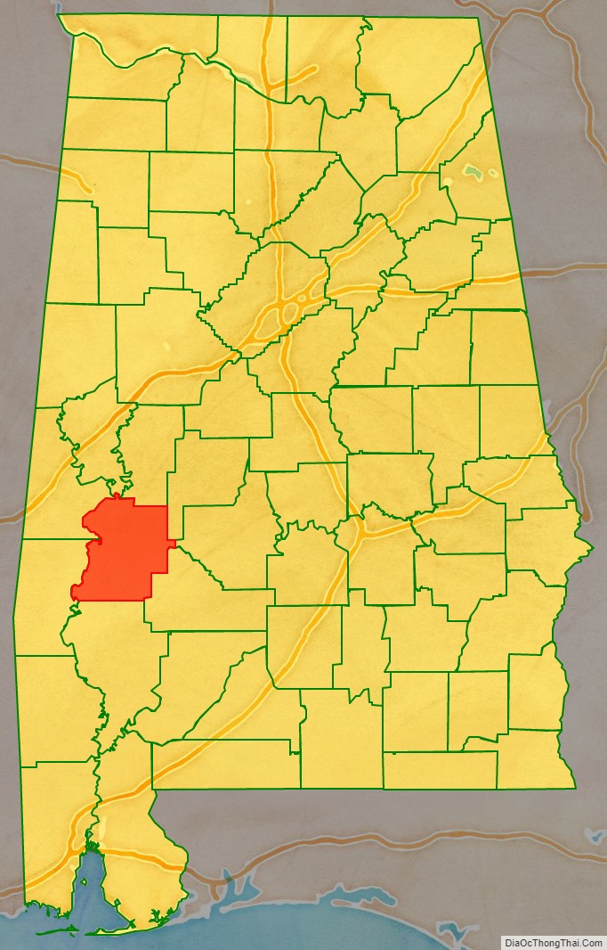
Marengo County location map. Where is Marengo County?
History
Marengo County was created by the Alabama Territorial legislature on February 6, 1818, from land acquired from the Choctaw by the Treaty of Fort St. Stephens on October 24, 1816. Like the other four of the “Five Civilized Tribes”, over the course of the following twenty years the Choctaw were largely forced west of the Mississippi River and into what is now Oklahoma during the period of Indian Removal conducted by the federal government.
The county was named to commemorate Napoleon’s victory at the Battle of Marengo over Austrian armies on June 14, 1800. This name was chosen in honor of the first European settlers, Bonapartists exiled from France after Napoleon’s downfall. In 1817 a number of French settled the area around Demopolis. They were trying to develop a Vine and Olive Colony. Other ethnic French who settled here were refugees from the colony of Saint-Domingue, where enslaved Africans and “free people of color” had routed Napoleon’s troops and white colonists, and declared independence in 1804. They established the territory as Haiti, the second republic in the western hemisphere.
The county seat was originally known as the Town of Marengo, but in 1823 the name was changed to Linden. Linden is a shortened version of Hohenlinden, scene of the Battle of Hohenlinden, a French victory in Bavaria on December 3, 1800, during Napoleon’s campaign.
Situated in Alabama’s Black Belt and having a naturally rich soil, the county was developed by planters for numerous cotton plantations, dependent on the forced labor of large gangs of enslaved African Americans. The enslaved comprised the majority of the county population decades before the American Civil War. In 1860 the population consisted of 24,409 slaves, 6761 free whites (including 944 slave owners), and one “free person of color,” for a total combined population of 31,171. At this time there were 778 plantations and farms in the county.
The fourth-oldest Jewish congregation in Alabama, B’nai Jeshurun, was established in Demopolis in 1858 by immigrants and migrants from other Southern cities.
After the Civil War, the economy continued to be based on agriculture. In the transition to free labor, many freedmen turned to sharecropping or tenant farming as a way to establish some independence. They did not want to work in white-controlled field gangs.
The county population began to diminish rapidly during and after World War II. People left the farms for manufacturing jobs elsewhere, particularly with the wartime buildup of the defense industry on the West Coast. The movement of African Americans out of Alabama and other parts of the South was considered part of the Great Migration, by which 5 million left the region from 1940 to 1970. In addition to seeking jobs, they sought better conditions than the disfranchisement and Jim Crow oppression they faced in Alabama and other states of the South.
Most of the former cotton fields were gradually converted to pastures for cattle and horses, developed into tree plantations for timber and paper production, or transformed into commercial ponds for farming grain-fed catfish. Beginning in the 1960s, industry began to move into the area. The work force was employed in paper mills, lumber mills, and chemical plants.
County courthouse fires occurred in 1848 and 1965. Each time most of the court records were saved, as they were in a protected vault.
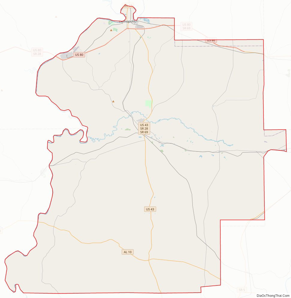
Marengo County Road Map
Geography
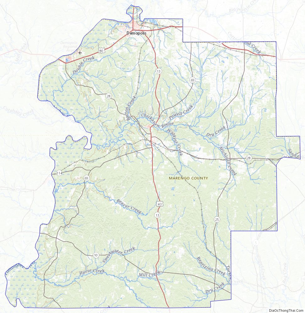
Marengo County is situated in the west-central area of the state. According to the United States Census Bureau, the county has a total area of 983 square miles (2,550 km), of which 977 square miles (2,530 km) is land and 5.8 square miles (15 km) (0.6%) is water. The entire western county border is formed by the Tombigbee River and a small northwestern portion is formed by the Black Warrior River.
Major highways
- U.S. Highway 43
- U.S. Highway 80
- State Route 5
- State Route 10
- State Route 25
- State Route 28
- State Route 69
Adjacent counties
- Hale County (north)
- Perry County (northeast)
- Dallas County (east)
- Wilcox County (southeast)
- Clarke County (south)
- Choctaw County (southwest)
- Sumter County (northwest)
- Greene County (north-northwest)
Marengo County Topographic Map
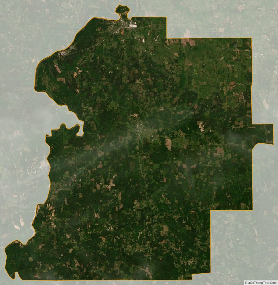
Marengo County Satellite Map
Marengo County Outline Map