Monroe County is a county located in the southwestern part of the U.S. state of Alabama. As of the 2020 census, the population was 19,772. Its county seat is Monroeville. Its name is in honor of James Monroe, fifth President of the United States. It is a dry county, in which the sale of alcoholic beverages is restricted or prohibited, but Frisco City and Monroeville are wet cities.
In 1997, the Alabama Legislature designated Monroeville and Monroe County as the “Literary Capital of Alabama”. It is the birthplace of notable writer Harper Lee and served as the childhood home for Truman Capote, her lifelong friend and a fellow writer. Lee lived here most of her life. The enduring popularity of her novel, To Kill a Mockingbird (1960), as well as its film and stage adaptations, has attracted tourists to the city and area. Monroeville is also central to the 2019 film Just Mercy, based upon the 2014 eponymous book by Bryan Stevenson, recounting the wrongful conviction and sentencing to death of African American Walter McMillian.
| Name: | Monroe County |
|---|---|
| FIPS code: | 01-099 |
| State: | Alabama |
| Founded: | June 29, 1815 |
| Named for: | James Monroe |
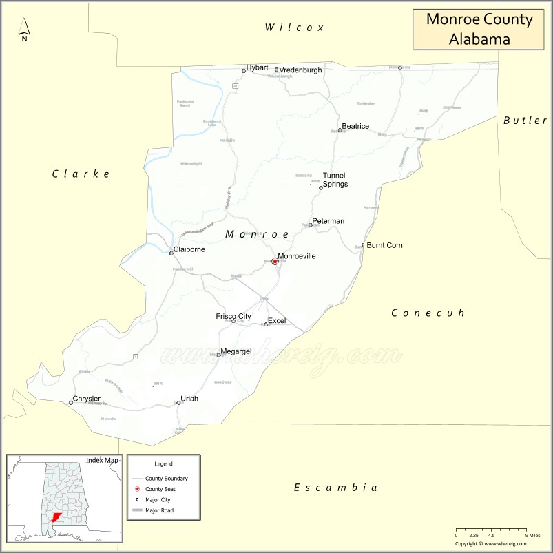
| Seat: | Monroeville |
| Largest city: | Monroeville |
| Total Area: | 1,034 sq mi (2,680 km²) |
| Land Area: | 1,026 sq mi (2,660 km²) |
| Total Population: | 19,772 |
| Population Density: | 19/sq mi (7.4/km²) |
| Time zone: | UTC−6 (Central) |
| Summer Time Zone (DST): | UTC−5 (CDT) |
| Website: | www.monroecountyal.com |
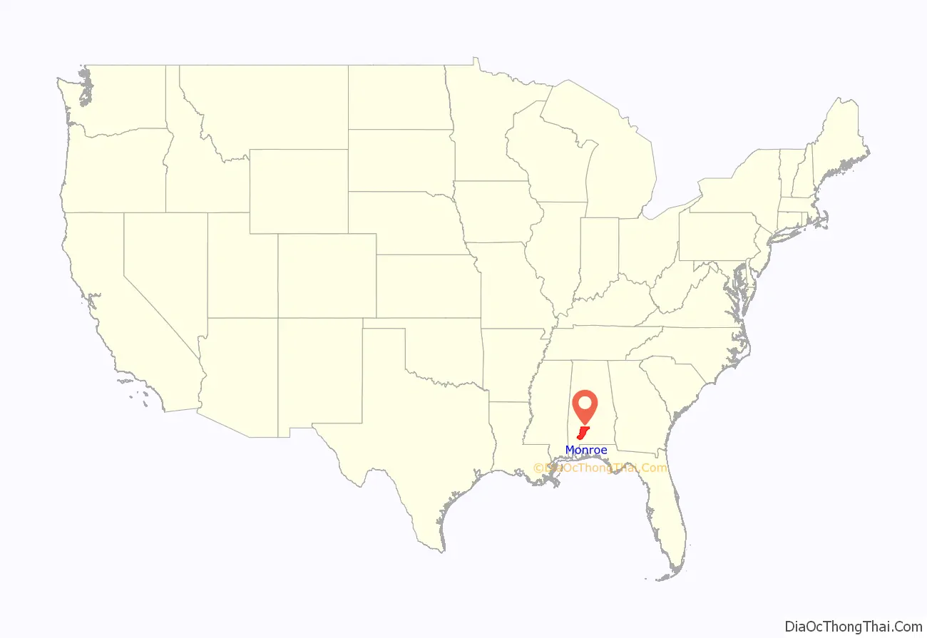
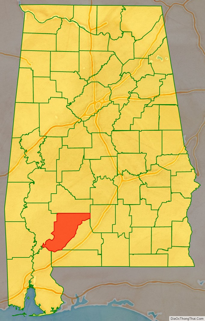
Monroe County location map. Where is Monroe County?
History
For thousands of years the area was inhabited by indigenous peoples. In historic times, it was primarily the territory of the Muscogee or Creek peoples, who became known to European-American settlers as one of the Five Civilized Tribes of the Southeast.
The prominent Upper Creek chief Red Eagle (also known as William Weatherford), of the Wind Clan, settled here after the Creek War (1813-1814). At the time, the United States was also involved in the War of 1812 against Great Britain. Red Eagle established a successful cotton plantation. He was of Creek and European descent, and had adopted the system of chattel slavery to gain workers for his plantation and horse breeding. In the 1830s the United States forced the removal of most of the Creek people from Alabama to Indian Territory (now Oklahoma), in order to take over their territory.
The area was settled by European Americans, primarily of English and Scots-Irish descent. It was largely developed as cotton plantations in the antebellum years. Planters moving from the Upper South sometimes brought slave workers with them, or purchased more slaves from traders and markets after acquiring land. The population was made up of numerous slaves, who in some sections outnumbered the whites.
Following the American Civil War and Emancipation, in the period after the Reconstruction era and into the early 20th century, white Democrats regained control of the state legislature and worked to restore and maintain white supremacy. The legislature passed a new constitution in 1901 that disenfranchised most blacks and tens of thousands of poor whites, excluding them from the political system. The legislators also passed laws imposing racial segregation and other forms of Jim Crow, and centralized power in the legislature.
Late 19th century to present
White physical attacks against blacks were part of the oppressive social system. Racial terrorism was accomplished through lynchings of African Americans, mostly of men, which took place outside the justice system. They were often conducted as public displays on the courthouse square, spectacles attended by large white mobs in an enactment of their power. Monroe had a total of seventeen lynchings from 1877 to 1950, the second highest number of any county in Alabama.
The county seat, Monroeville, is the home of two notable 20th-century authors, Truman Capote and Nelle Harper Lee, who were childhood neighbors. The novelist Mark Childress and journalist Cynthia Tucker are also Monroe County natives. In 1997 the Alabama Legislature designated Monroeville and Monroe County as the “Literary Capital of Alabama”.
The county is near the Gulf Coast and is affected by storms from the Gulf. It has twice been declared a disaster area by the federal government due to extensive hurricane damage: in September 1979 due to Hurricane Frederic, and in September 2004 due to Hurricane Ivan.
Attorney Bryan Stevenson published his memoir, Just Mercy: A Story of Justice and Redemption in 2014. He has worked since his early 20s in Montgomery, establishing the Equal Justice Initiative and serving as legal counsel for people on death row in Alabama prisons. He has succeeded in gaining freedom for more than 100 men who were wrongfully convicted. Among the cases he discusses is that of Walter McMillian of Monroeville, who was wrongfully convicted of murder in 1989. McMillian, an African American man, was sentenced to death by the trial judge, who overrode the lesser sentence reached by the jury. McMillian was kept on death row for 6 years, nearly 2 of which were prior to his trial, in an effort to make him confess. In 1993 the Alabama Appeals Court ruled that McMillian should be freed because of the lack of evidence, his alibi, the unreliability of witnesses, and mishandling of the trial.
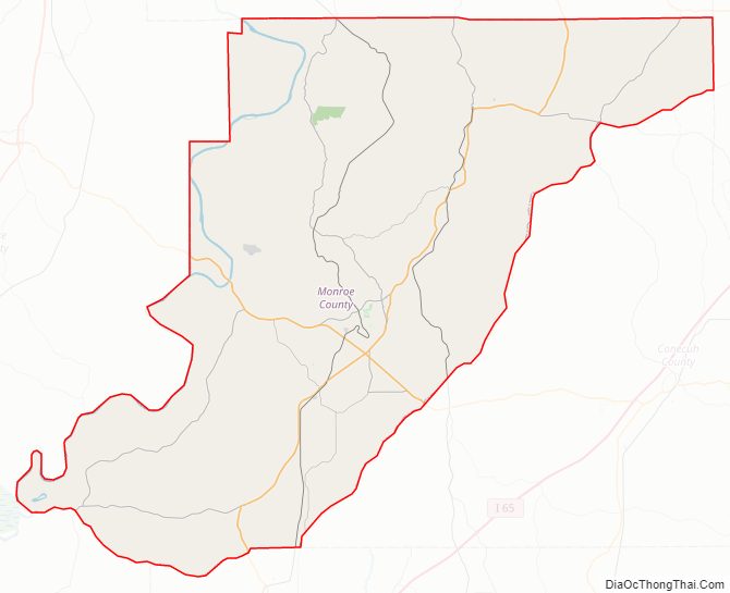
Monroe County Road Map
Geography
According to the United States Census Bureau, the county has a total area of 1,034 square miles (2,680 km), of which 1,026 square miles (2,660 km) is land and 8.7 square miles (23 km) (0.8%) is water.
Major highways
- U.S. Highway 84
- State Route 21
- State Route 41
- State Route 47
- State Route 59
- State Route 83
- State Route 136
Adjacent counties
- Wilcox County (north)
- Butler County (east-northeast)
- Conecuh County (east)
- Escambia County (southeast)
- Baldwin County (southwest)
- Clarke County (west)
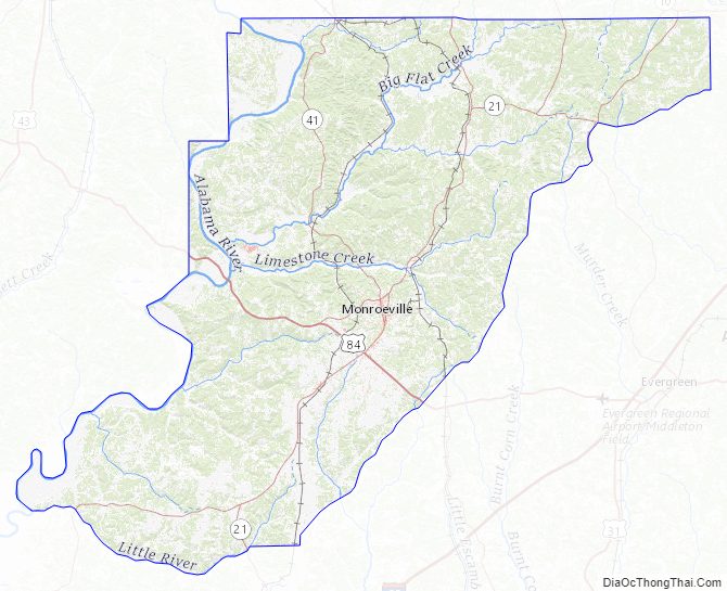
Monroe County Topographic Map
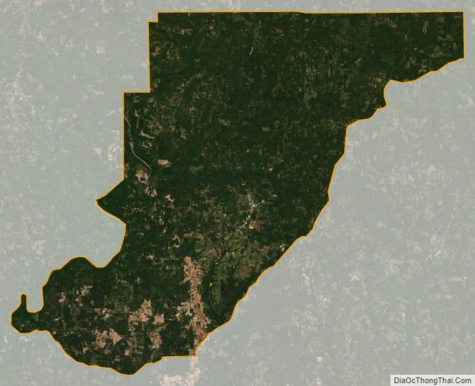
Monroe County Satellite Map
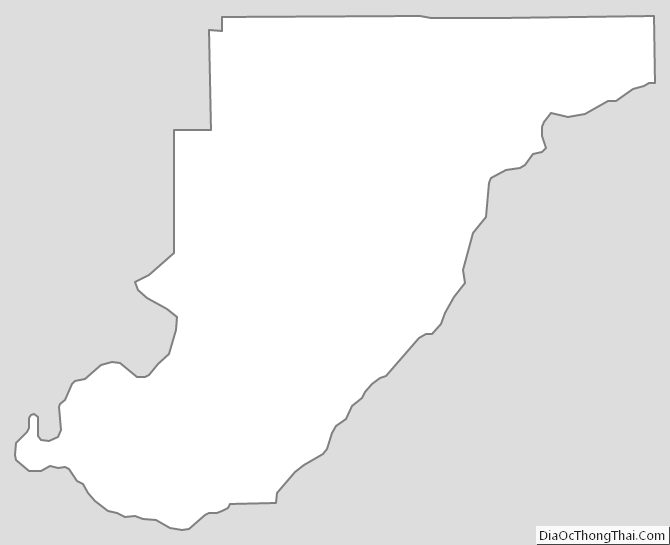
Monroe County Outline Map