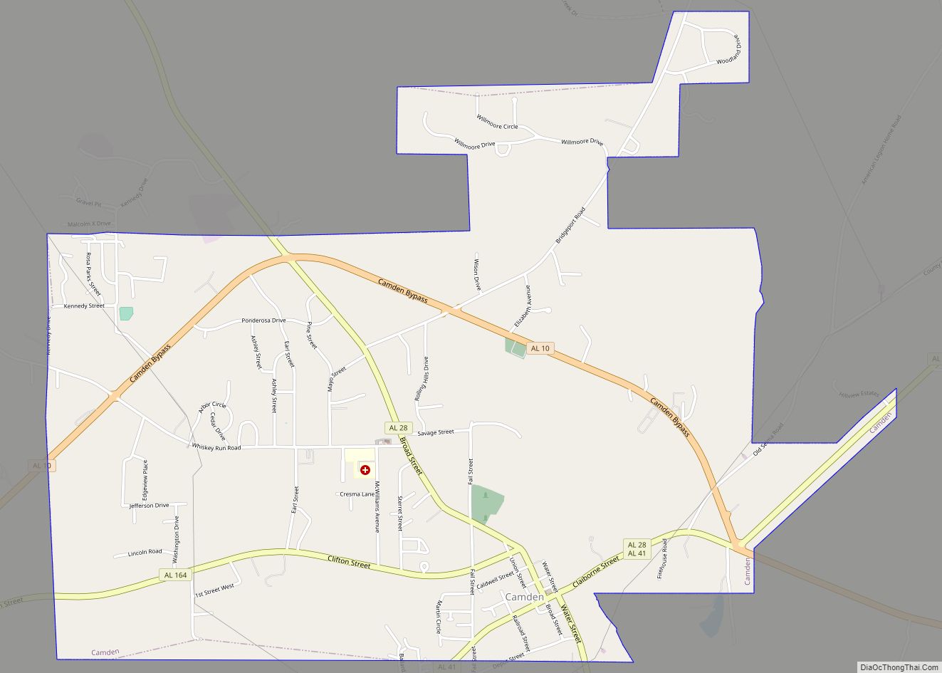
Camden is a city in and the county seat of Wilcox County, Alabama, United States. The population was 2,020 at the 2010 census, down from 2,257 in 2000, at which time it was a town.
| Name: | Camden city |
|---|---|
| LSAD Code: | 25 |
| LSAD Description: | city (suffix) |
| State: | Alabama |
| County: | Wilcox County |
| Elevation: | 207 ft (63 m) |
| Total Area: | 4.20 sq mi (10.87 km²) |
| Land Area: | 4.18 sq mi (10.84 km²) |
| Water Area: | 0.01 sq mi (0.03 km²) |
| Total Population: | 1,927 |
| Population Density: | 460.56/sq mi (177.82/km²) |
| ZIP code: | 36726 |
| Area code: | 334 |
| FIPS code: | 0111512 |
| GNISfeature ID: | 0115426 |
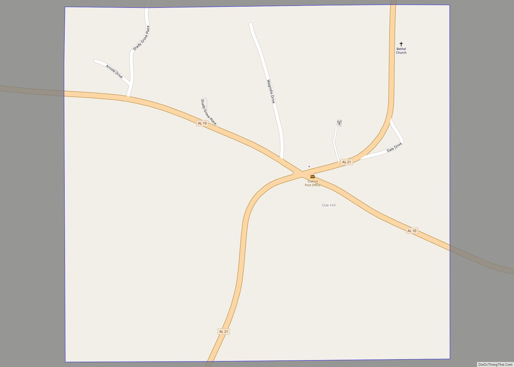
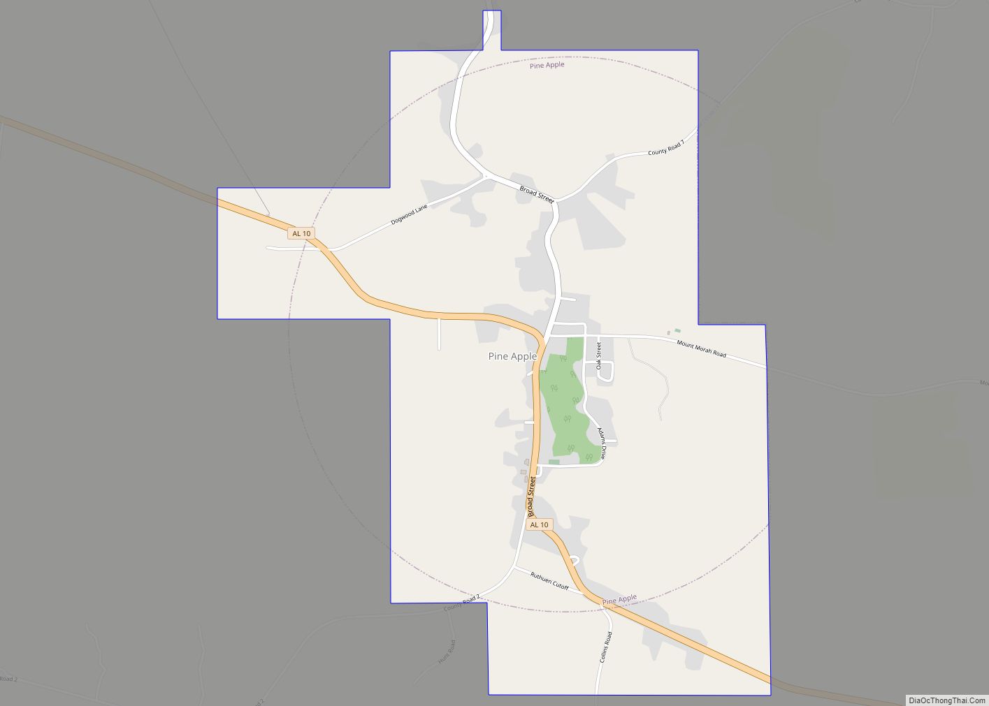
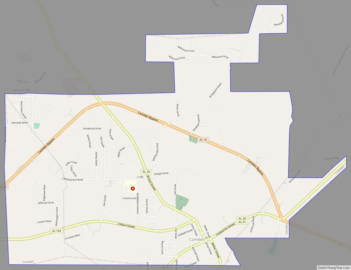
Online Interactive Map
Click on ![]() to view map in "full screen" mode.
to view map in "full screen" mode.
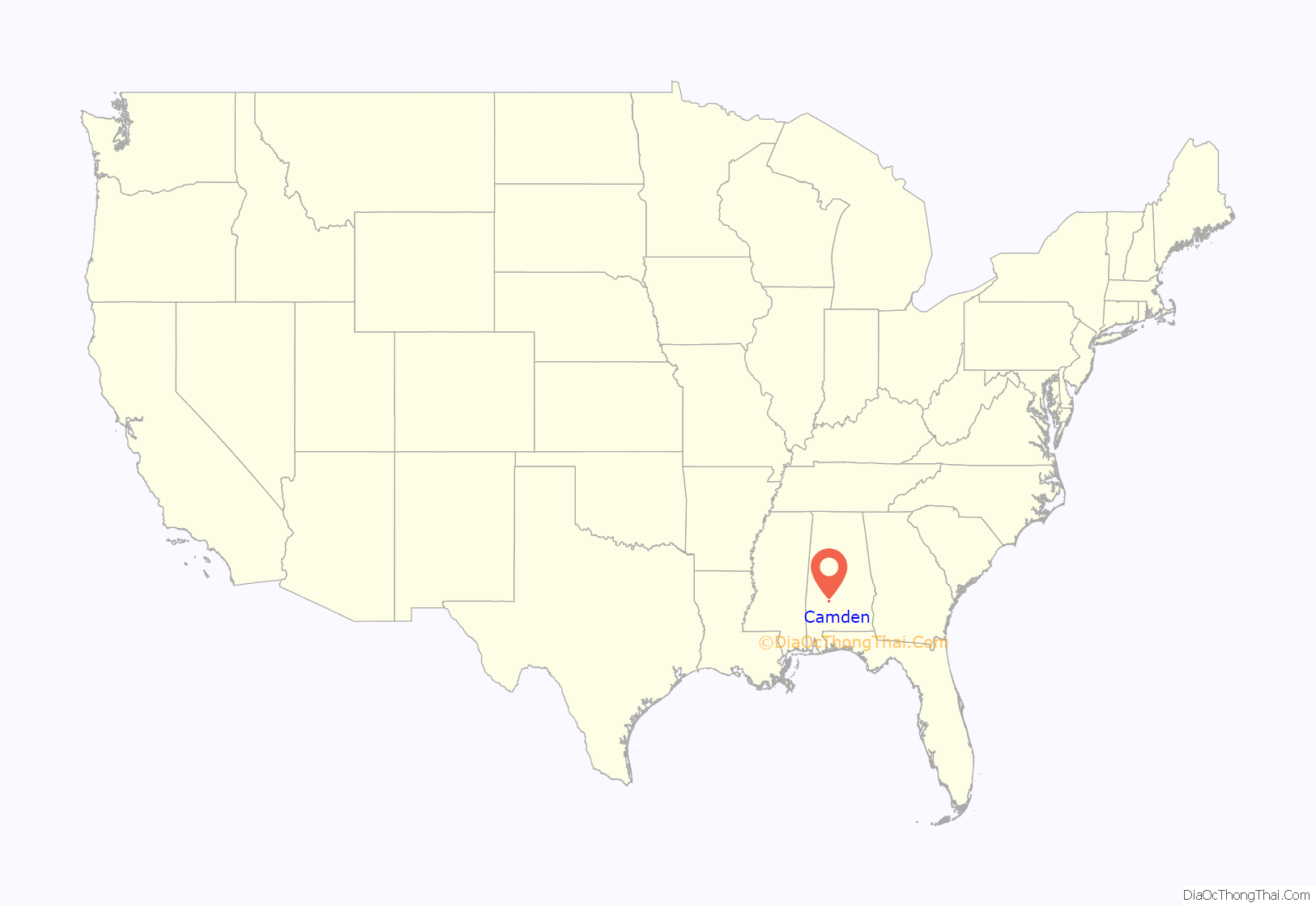
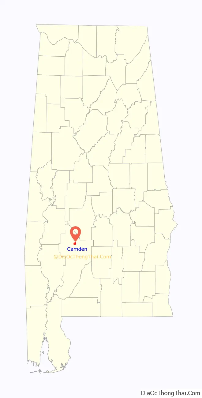
Camden location map. Where is Camden city?
History
What is now Camden was established on property donated by Thomas Dunn from his plantation holdings in order to have a new town founded on the site in 1833 to serve as the county seat. Dunn’s Federal style house, built in 1825, is the oldest documented house in the town. The first county seat was in the community of Canton Bend.
The county seat was moved in 1833 to Barboursville, later renamed Camden. It had been named Barboursville in honor of United States Congressman Philip P. Barbour of Virginia. Incorporated in 1841, Camden was renamed by local physician John D. Caldwell in honor of his hometown of Camden, South Carolina.
The area depended on cultivation of cotton as a commodity crop, which was worked by numerous African-American slaves. The earliest documented industries in the town were a brickyard, sawmill, and window fabricator. The Camden Phenix was the town’s earliest known newspaper. Townspeople founded a girls’ school in 1844, the Wilcox Female Seminary and Female Institute, whose red-brick Greek-Revival style building was constructed from 1845 to 1850. In 1976 the former school was adapted to house the Wilcox County Historical Society.
The red-brick Greek-Revival style Wilcox County Courthouse, also listed on the National Register of Historic Places, was completed in 1857. It replaced an earlier wood-frame structure.
During the American Civil War, many in the community joined the Confederate cause. The county courthouse was ransacked by Union forces in 1865, but advance warning allowed county officials to remove the county records to a safe place (legend claims that they were buried in a coffin) prior to arrival of Union troops. Already devastated by the Civil War, Camden suffered fires during 1869 and 1870 that destroyed about two-thirds of the town. The town began to recover during the 1880s, with the first bank incorporated in 1894.
Camden benefited economically during the mid-20th century with the construction of a paper mill at Yellow Bluff and of the Millers Ferry Lock and Dam, a hydroelectric dam on the Alabama River near Millers Ferry. This created the William “Bill” Dannelly Reservoir, which has served as an important recreational resource.
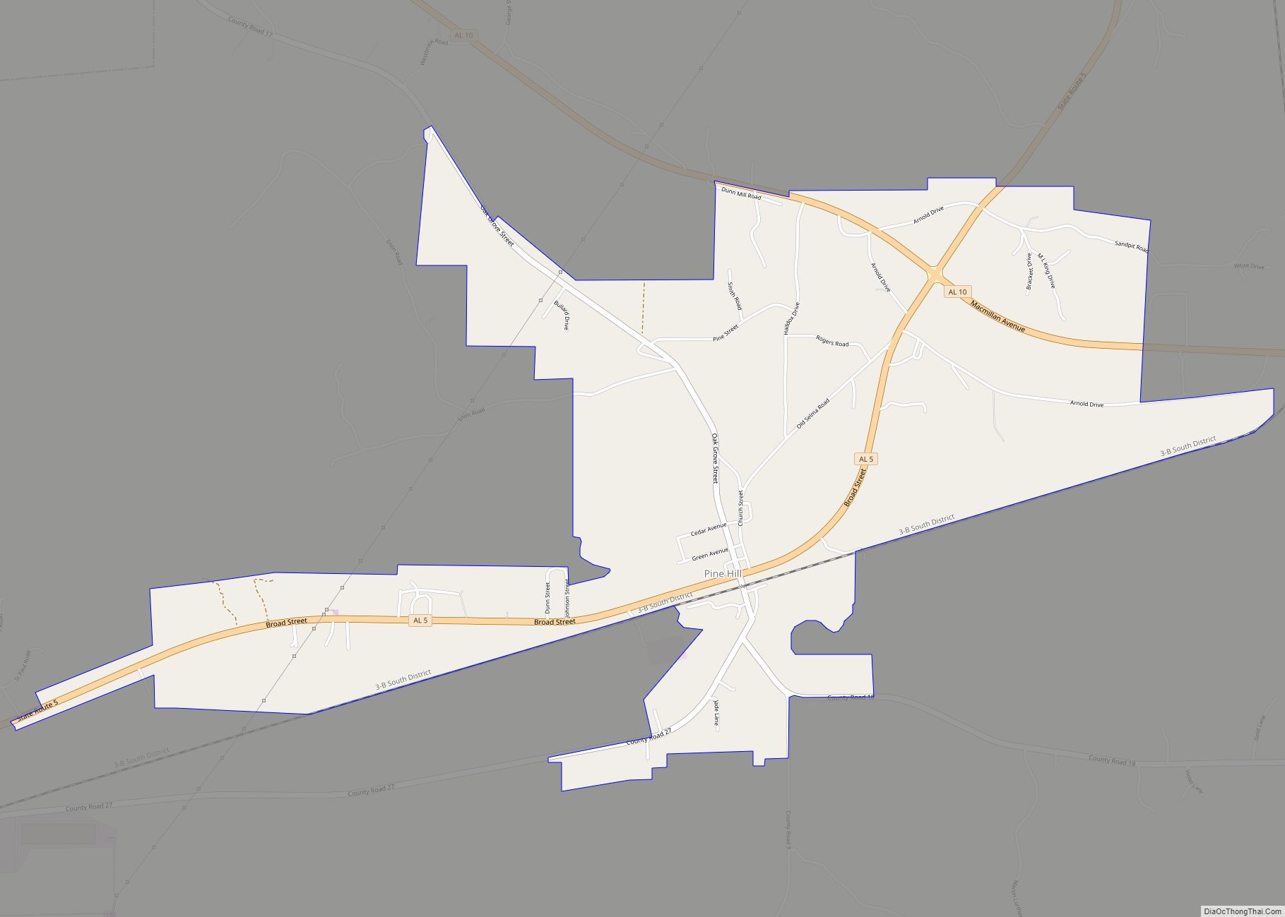
Camden Road Map
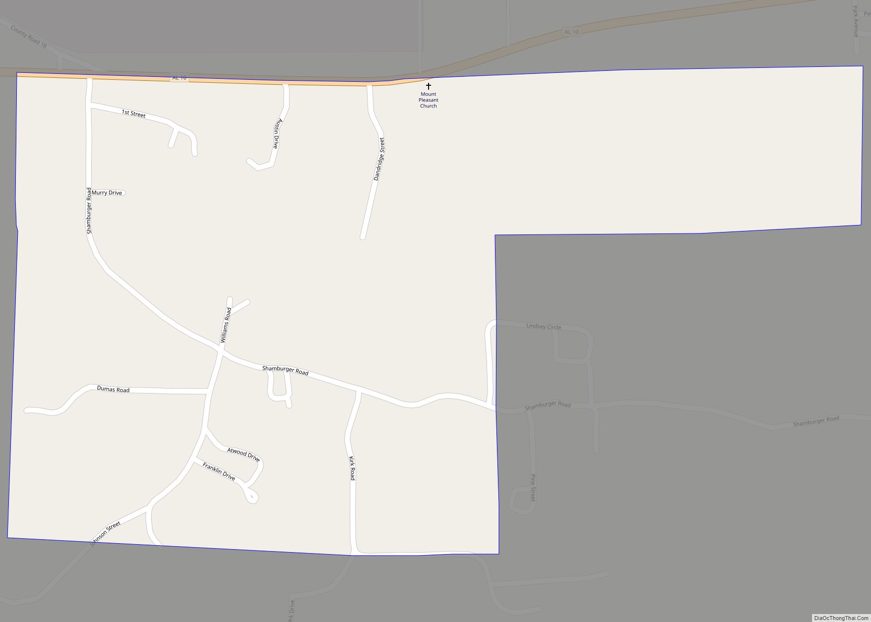
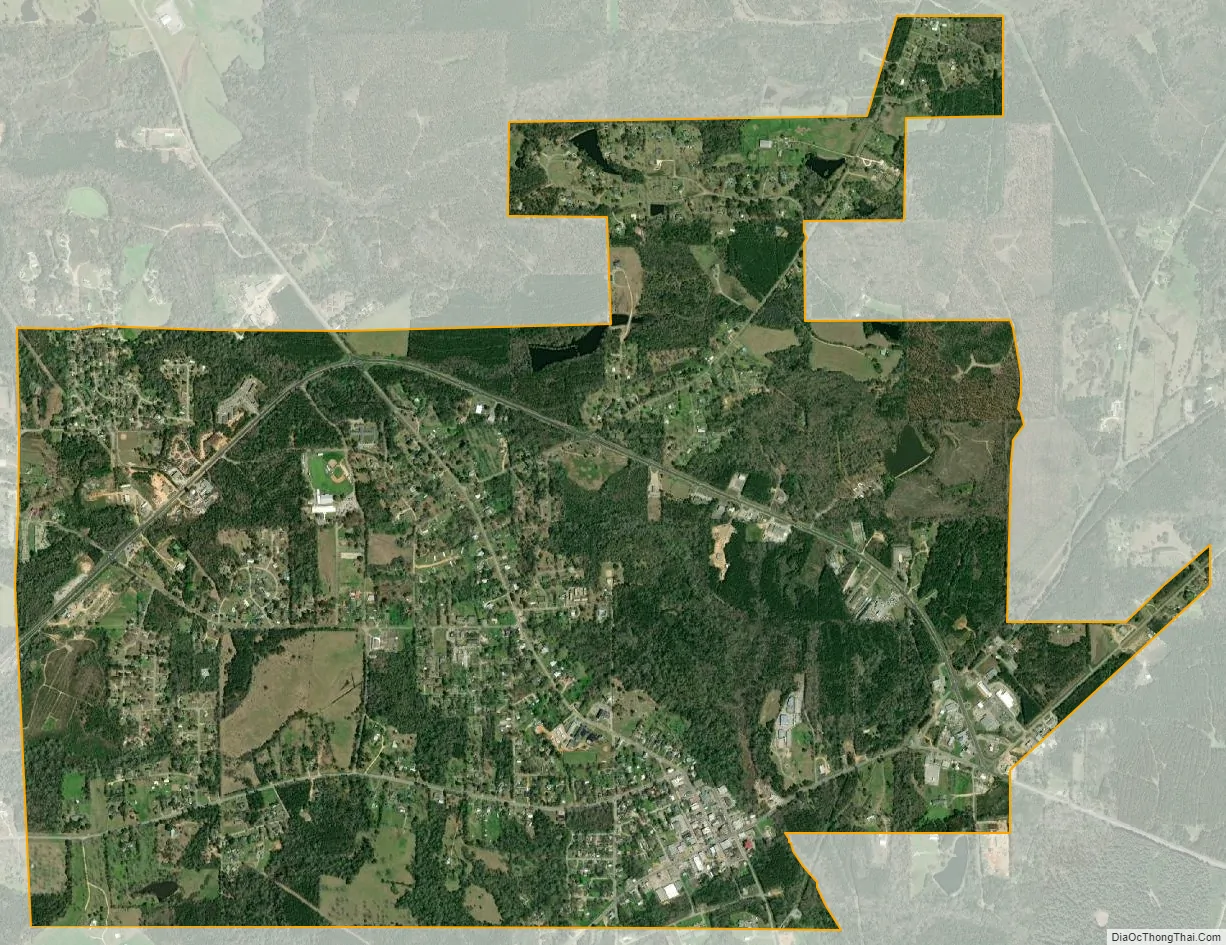
Camden city Satellite Map
Geography
According to the United States Census Bureau, the town had an area of 4.2 square miles (11 km), of which 4.2 square miles (11 km) is land and 0.24% is water.
Climate
According to the Köppen climate classification, Camden has a humid subtropical climate (abbreviated Cfa).
See also
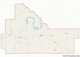
Map of Alabama State and its subdivision:- Autauga
- Baldwin
- Barbour
- Bibb
- Blount
- Bullock
- Butler
- Calhoun
- Chambers
- Cherokee
- Chilton
- Choctaw
- Clarke
- Clay
- Cleburne
- Coffee
- Colbert
- Conecuh
- Coosa
- Covington
- Crenshaw
- Cullman
- Dale
- Dallas
- De Kalb
- Elmore
- Escambia
- Etowah
- Fayette
- Franklin
- Geneva
- Greene
- Hale
- Henry
- Houston
- Jackson
- Jefferson
- Lamar
- Lauderdale
- Lawrence
- Lee
- Limestone
- Lowndes
- Macon
- Madison
- Marengo
- Marion
- Marshall
- Mobile
- Monroe
- Montgomery
- Morgan
- Perry
- Pickens
- Pike
- Randolph
- Russell
- Saint Clair
- Shelby
- Sumter
- Talladega
- Tallapoosa
- Tuscaloosa
- Walker
- Washington
- Wilcox
- Winston
- Alabama
- Alaska
- Arizona
- Arkansas
- California
- Colorado
- Connecticut
- Delaware
- District of Columbia
- Florida
- Georgia
- Hawaii
- Idaho
- Illinois
- Indiana
- Iowa
- Kansas
- Kentucky
- Louisiana
- Maine
- Maryland
- Massachusetts
- Michigan
- Minnesota
- Mississippi
- Missouri
- Montana
- Nebraska
- Nevada
- New Hampshire
- New Jersey
- New Mexico
- New York
- North Carolina
- North Dakota
- Ohio
- Oklahoma
- Oregon
- Pennsylvania
- Rhode Island
- South Carolina
- South Dakota
- Tennessee
- Texas
- Utah
- Vermont
- Virginia
- Washington
- West Virginia
- Wisconsin
- Wyoming