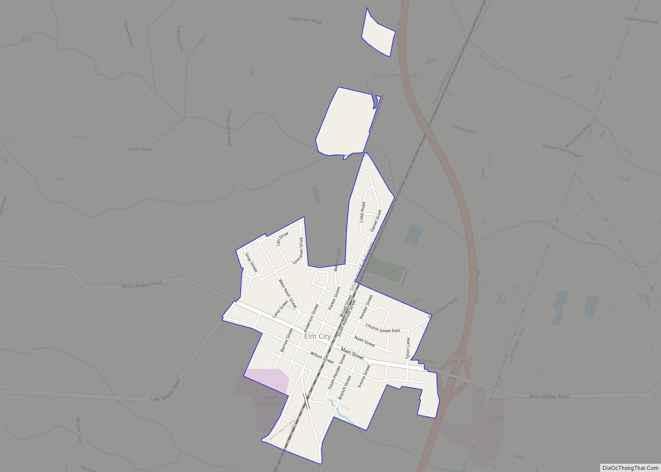
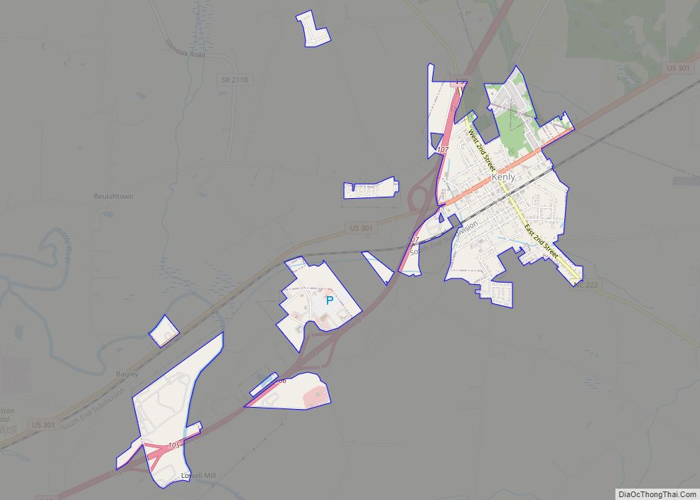
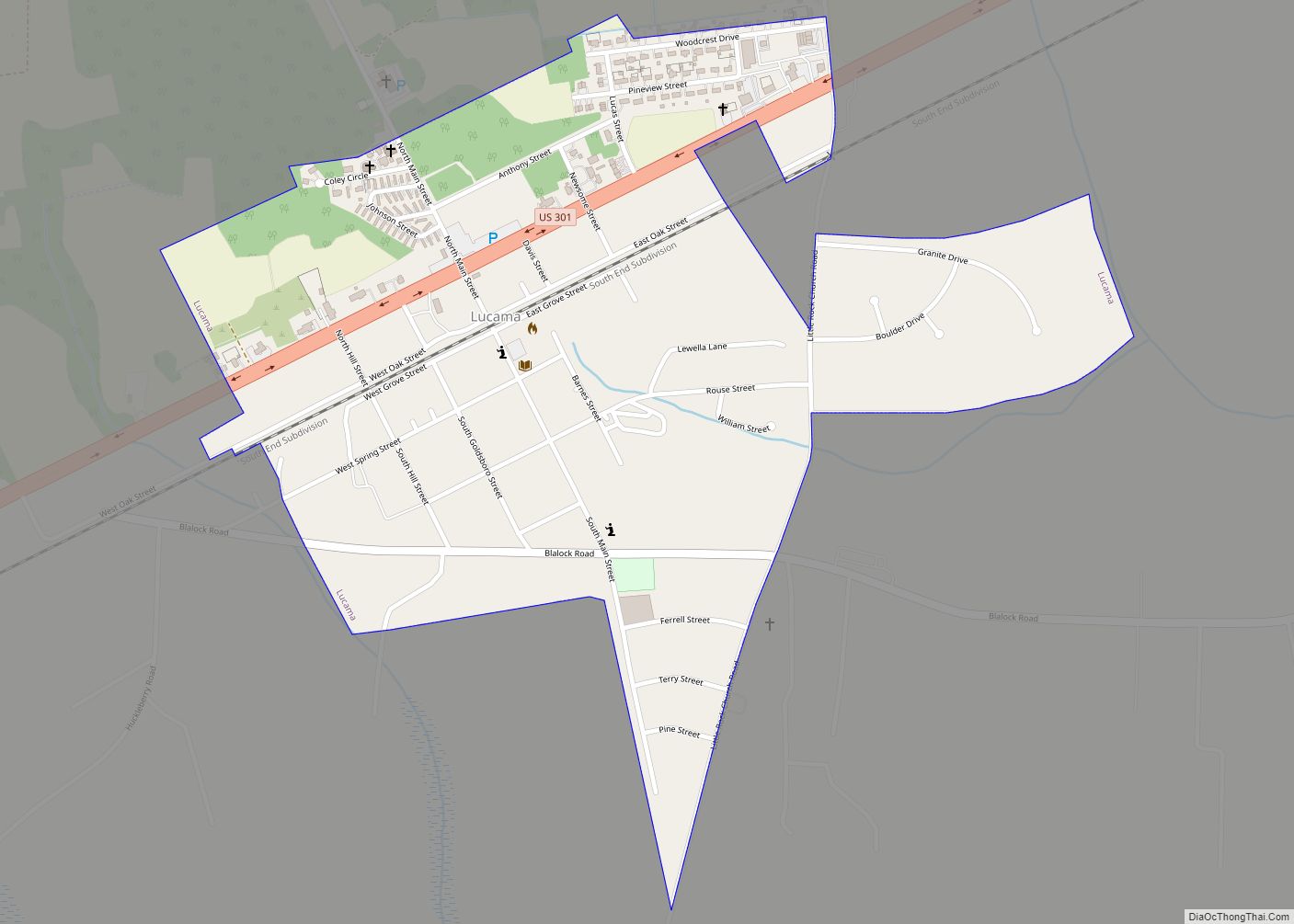
Wilson County is a county located in the U.S. state of North Carolina. As of the 2020 census, the population was 78,784. The county seat is Wilson. The county comprises the Wilson Micropolitan Statistical Area, which is also included within the Rocky Mount–Wilson–Roanoke Rapids Combined Statistical Area.
| Name: | Wilson County |
|---|---|
| FIPS code: | 37-195 |
| State: | North Carolina |
| Founded: | 1855 |
| Named for: | Col. Louis D. Wilson |
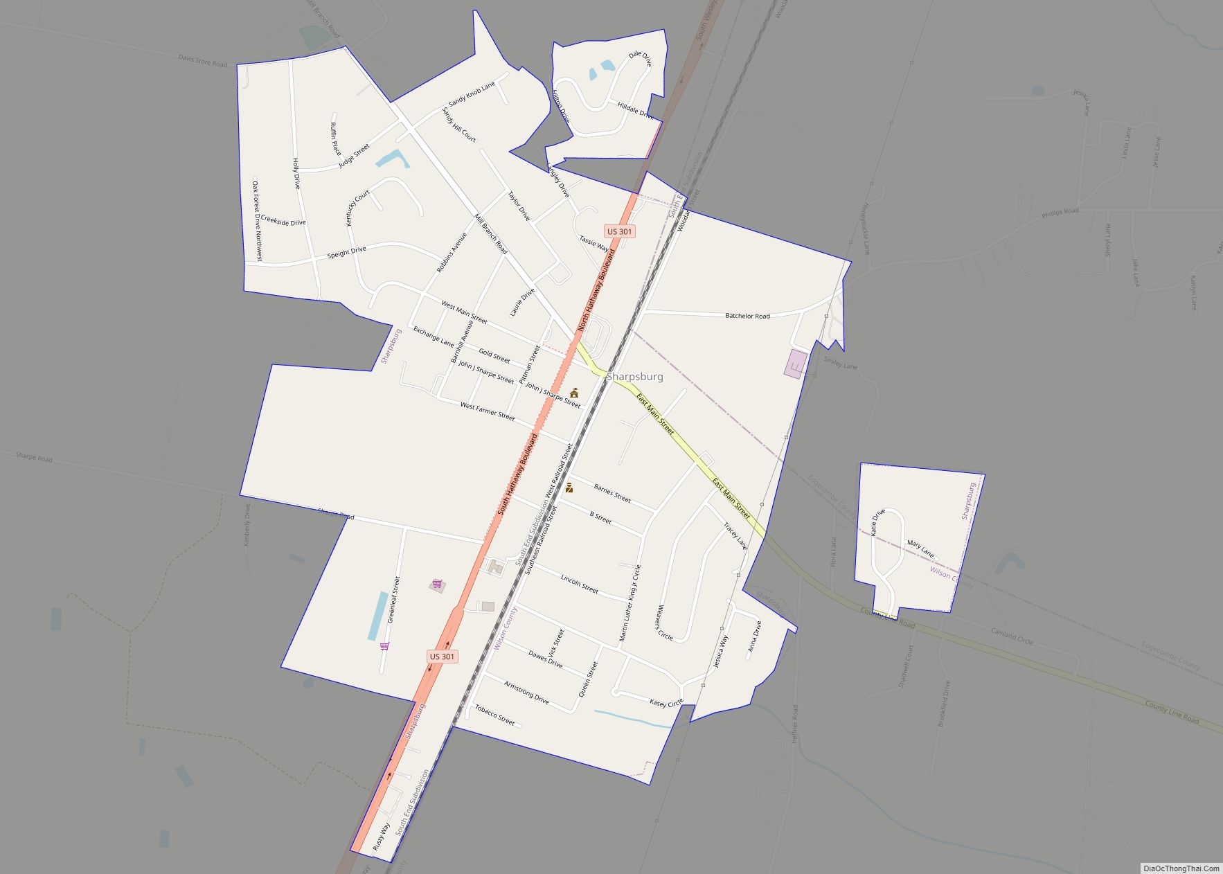
| Seat: | Wilson |
| Largest city: | Wilson |
| Total Area: | 374 sq mi (970 km²) |
| Land Area: | 368 sq mi (950 km²) |
| Total Population: | 78,784 |
| Population Density: | 210/sq mi (81/km²) |
| Time zone: | UTC−5 (Eastern) |
| Summer Time Zone (DST): | UTC−4 (EDT) |
| Website: | www.wilsoncountync.gov |
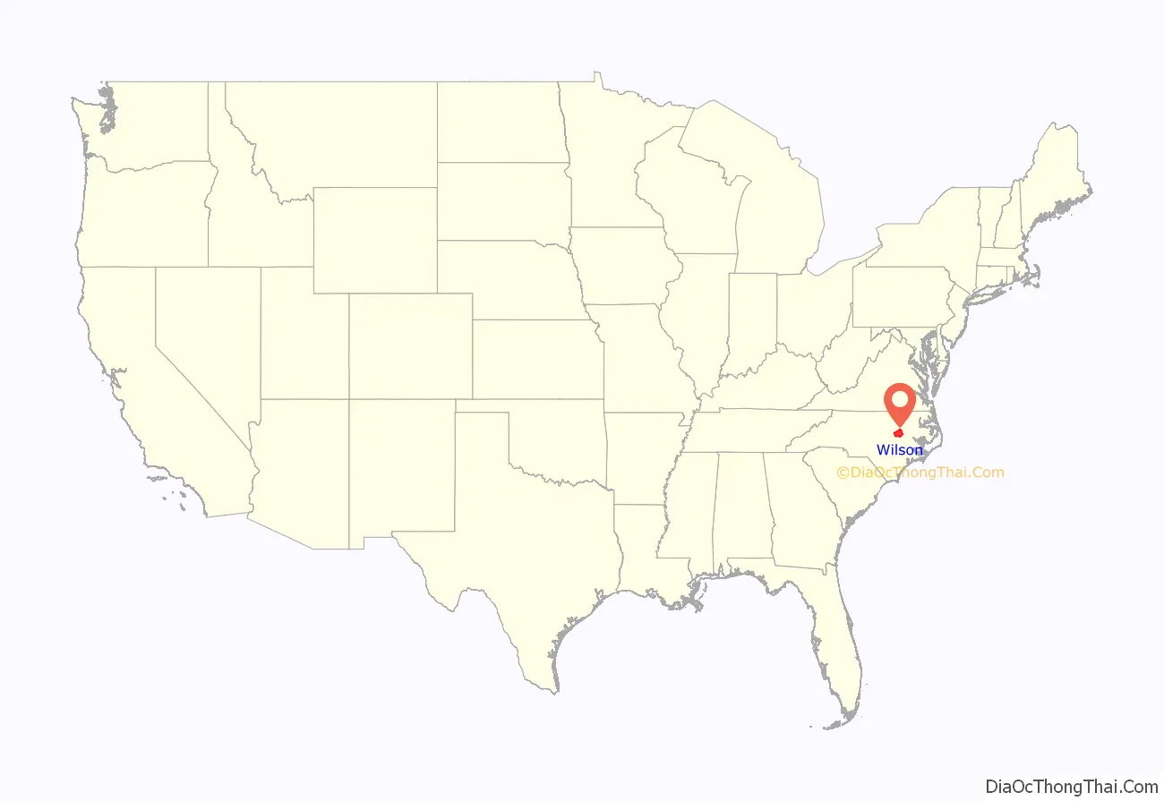
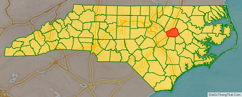
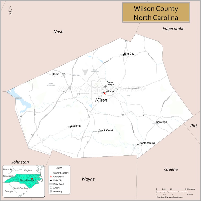
Wilson County location map. Where is Wilson County?
History
On February 13, 1855, the North Carolina General Assembly established Wilson County “out of portions of Edgecombe, Johnston, Nash, and Wayne counties.” The county was named for Colonel Louis D. Wilson, U.S. Volunteers, who died of fever while on leave from the state senate during the Mexican–American War.
Wilson Speedway held 12 NASCAR Cup Series races at the county fairgrounds in Wilson between 1951 and 1960. The half mile dirt track operated between 1934 and 1989.
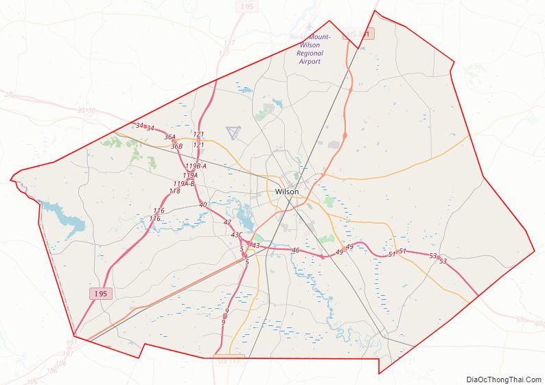
Wilson County Road Map
Geography
According to the U.S. Census Bureau, the county has a total area of 374 square miles (970 km), of which 368 square miles (950 km) are land and 5.6 square miles (15 km) (1.5%) are covered by water.
State and local protected site
- Tobacco Farm Life Museum
Major water bodies
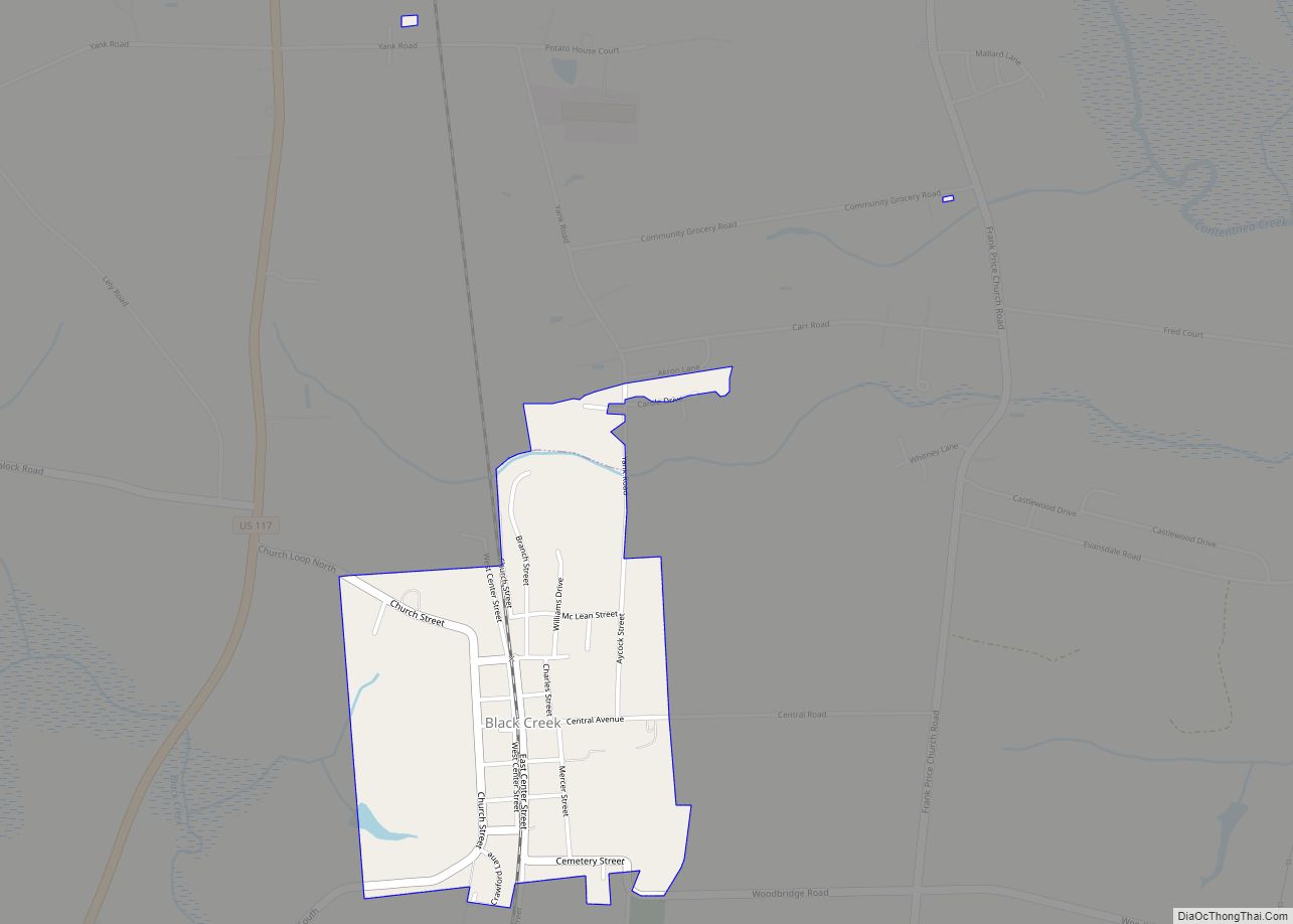
- Black Creek
- Buckhorn Reservoir
- Contentnea Creek
- Lake Wilson
- Silver Lake
- Wiggins Mill Reservoir
Adjacent counties
- Nash County – north
- Edgecombe County – northeast
- Pitt County – east
- Greene County – southeast
- Wayne County – south
- Johnston County – southwest
Major highways
- I-95
- I-587 / Future I-587 (Small section incomplete)
- I-795
- US 117
- US 264
- US 264 Alt.
- US 301
- NC 42
- NC 58
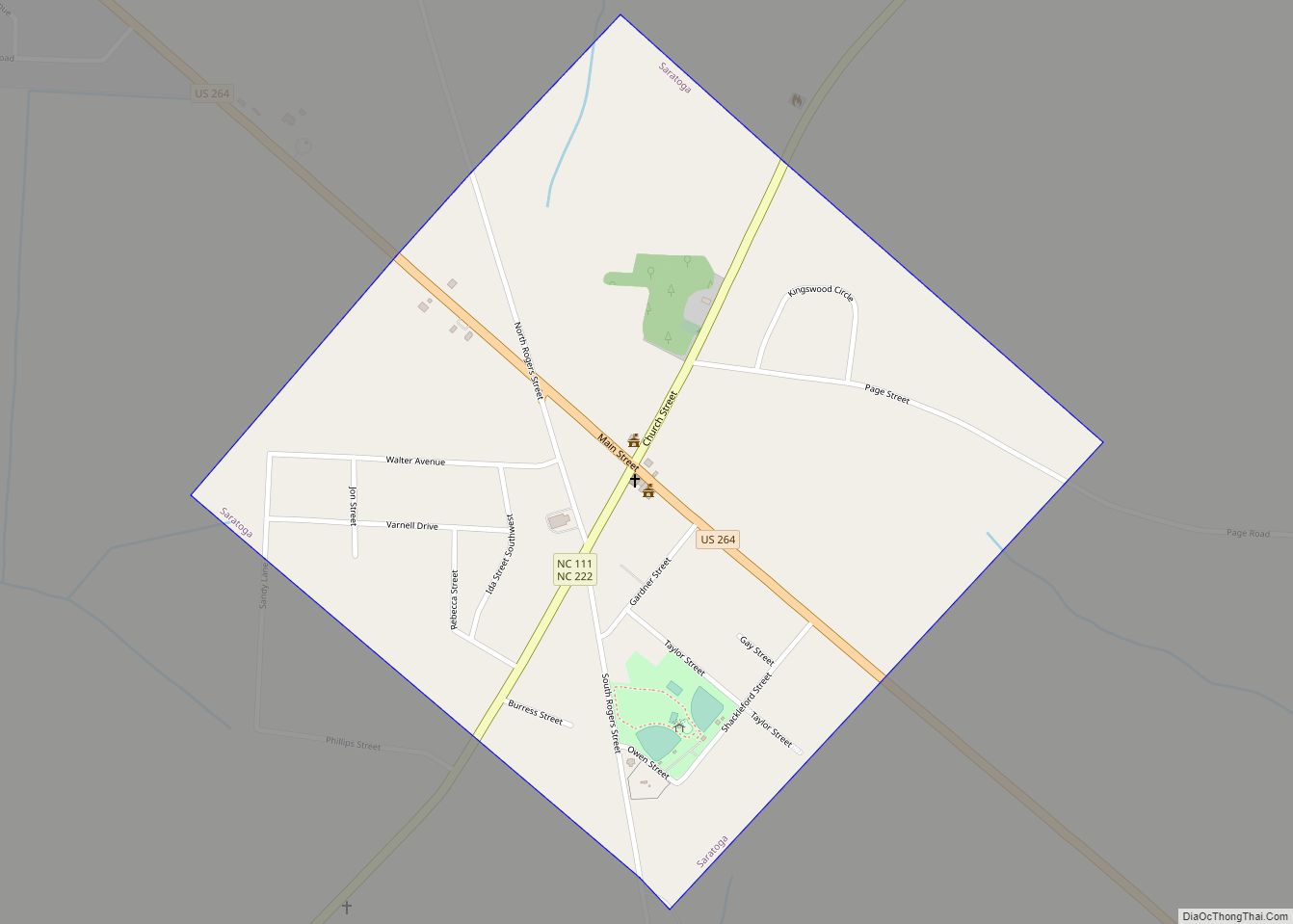
- NC 111
- NC 222
- NC 581
Major infrastructure
- Amtrak Thruway (Wilson Station)
- Wilson Industrial Air Center
- Wilson Station
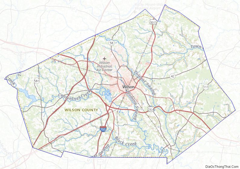
Wilson County Topographic Map
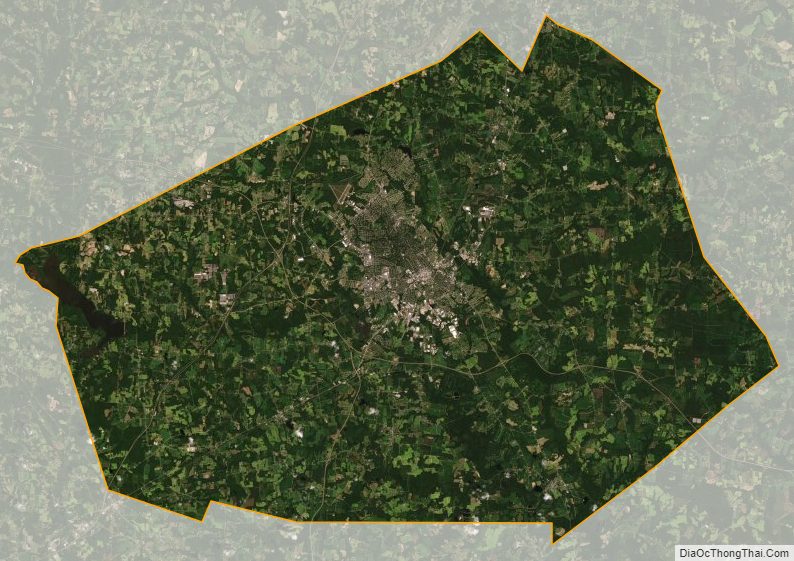
Wilson County Satellite Map
Wilson County Outline Map