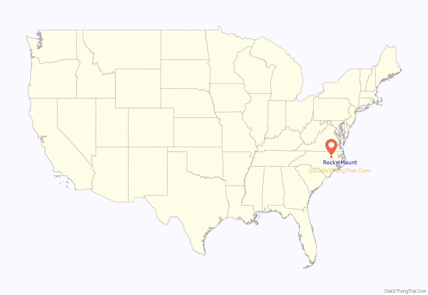
Rocky Mount is a city in Edgecombe and Nash counties in the U.S. state of North Carolina. The city’s population was 54,341 as of the 2020 census, making it the 20th-most populous city in North Carolina at the time. The city is 45 mi (72 km) east of Raleigh, the state capital.
It is the principal city of the Rocky Mount metropolitan area, often called the “Twin Counties”; in the 2020 census, the metro population was 143,870. Rocky Mount is also an anchor city of the Rocky Mount-Wilson-Roanoke Rapids Combined Statistical Area in northeast North Carolina with a total population of 288,747 as of the 2020 census.
Incorporated in 1867, the community at the falls of the Tar River that became the city of Rocky Mount was first settled by traders in the mid-1700s. Historically strong in rail transportation, textiles, and agriculture, the economy of Rocky Mount has diversified into biomedical pharmaceuticals, manufacturing, and logistics. Rocky Mount has twice received the All-America City Award from the National Civic League: in 1969 and 1999.
| Name: | Rocky Mount city |
|---|---|
| LSAD Code: | 25 |
| LSAD Description: | city (suffix) |
| State: | North Carolina |
| County: | Edgecombe County, Nash County |
| Founded: | March 22, 1816 |
| Incorporated: | February 19, 1867 |
| Elevation: | 98 ft (30 m) |
| Land Area: | 44.68 sq mi (115.73 km²) |
| Water Area: | 0.21 sq mi (0.54 km²) |
| Population Density: | 1,216.14/sq mi (469.55/km²) |
| Area code: | 252 |
| FIPS code: | 3757500 |
| GNISfeature ID: | 1022368 |
| Website: | www.rockymountnc.gov |
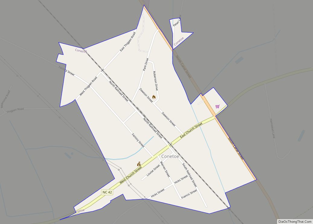
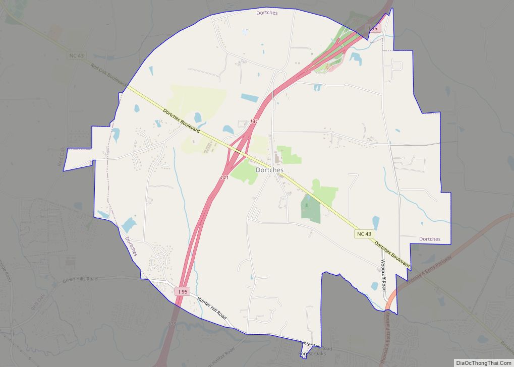
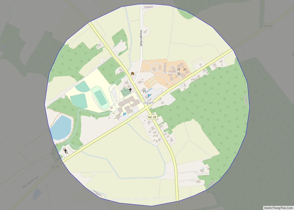
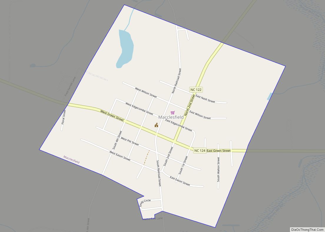
Online Interactive Map
Click on ![]() to view map in "full screen" mode.
to view map in "full screen" mode.
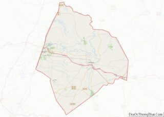
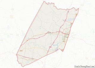
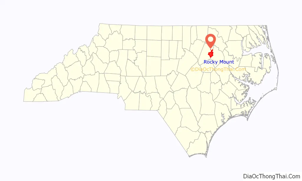
Rocky Mount location map. Where is Rocky Mount city?
History
Beginnings
The region around the Tar River was continuously inhabited by various cultures of indigenous people for 12,000 years. It had long been home to the historic Tuscarora people, who spoke an Iroquoian language, before the first Europeans arrived. After the English colonists and indigenous allies waged the Tuscarora War in the early 1700s and drove most of the survivors off to the North (the main party migrated to what became New York, settling with other Iroquoian peoples), the English speakers began to settle the area. They settled along the fall line between the Piedmont and coastal plain, below which the rivers were navigable to the coast. The difference in height meant that the downstream waters could power a mill.
The Falls of the Tar River Primitive Baptist Church was established in 1757. As the church was the center of community life, its records were the first civil and vital records of the developing town. Its congregation effectively administered law enforcement, with officers issuing citations for crimes.
19th century
A post office was established at the falls of the Tar River on March 22, 1816. At this point, the name “Rocky Mount” officially appears in documented history, referring to the rocky mound at the falls of the Tar River. Rocky Mount Mills, the second cotton mill in the state of North Carolina, was built there soon after in 1818. Its proprietors were two entrepreneurs and Joel Battle, grandson of an original colonial settler to the area. Joel bought out the other proprietors before turning over the enterprise to his cousin James Smith Battle. The mill’s spindles were initially operated by enslaved African Americans until the 1850s. At that time, the mill owners hired exclusively white women and girls, who were employed for the rest of the century.
The Battle family was also involved in the construction of the longest continuous railroad in the world up to that time, the Wilmington and Weldon Railroad, which ran about two miles (3 km) east of the mill. It connected the area to major ports in Virginia to the north and the port of Wilmington, North Carolina to the south. The tracks first reached Rocky Mount on Christmas Eve in 1839. In 1840, a train of cars en route to Wilmington stopped in Rocky Mount to import some “Old Nash” for special toasts at opening festivities, and from there the fame of Nash County apple brandy spread.
The railroad exerted a powerful influence on the development of the town. In 1871, the county line moved from the Tar River to its present location in the center of the tracks. The Raleigh–Tarboro stage route also passed just south of Rocky Mount (roughly where I-95 and U.S. 64 run today), and for a time was the logical debarking point for railroad travelers wishing to proceed east or west.
During the Civil War, the surrounding region was raided in 1863 by Union troops under the command of Brigadier General Edward E. Potter. They burned down the mill, which supplied Confederate yarn and cloth. After the war ended, the owners rebuilt the mill. On February 19, 1867, the village outside the mill was incorporated as a town.
In the latter half of the 19th century, the tobacco industry became established in the state. Adjacent to the sandy coastal plain, Rocky Mount was well situated to take advantage of the rapidly rising demand for brightleaf tobacco that grew best in the sandy soil. Tobacco also shaped the city’s social life. Warehouses where tobacco was stored and marketed began hosting balls for the community in the 1880s; these became known as “june germans” for the time of year and style of dance. June Germans eventually transformed into all-night dance parties and attracted musicians and socialites from miles around well into the 1900s. By the end of the 19th century, tobacco had surpassed King Cotton as the town’s primary agricultural product.
20th century
At the turn of the 20th century, Rocky Mount became the northern headquarters of the Atlantic Coast Line Railroad, which located its major repair shops and yard facilities in the town. With it came an influx of railroad employees. In 1900, Rocky Mount’s population was around 3,000.
On February 28, 1907, with a population around 7,500, Rocky Mount was officially incorporated as a city. A main railroad line, a well established cotton mill, and productive farmland for brightleaf tobacco were major contributors to the area’s growth and prosperity over the next decades. A vibrant central business district arose.
As in the rest of the South, states imposed legal racial segregation, including restrictions and discrimination in housing. White suburbs developed largely on the west side of town, such as Villa Place and West Haven. Black neighborhoods, such as Crosstown and Around the “Y”, where jazz musician Thelonious Monk was born, were concentrated on the east side of town.
Several notable Civil Rights events occurred in Rocky Mount. In 1946, African-American tobacco warehouse workers voted to organize in Rocky Mount as part of a broader nationwide movement known as Operation Dixie. It included voter registration to fight against disenfranchisement of blacks and other political action against segregation. On November 27, 1962, Martin Luther King Jr. gave a speech at Booker T. Washington High School; he used his refrain “I have a dream” a year before his better known delivery at the March on Washington, which became famous. The city had a sanitation workers’ strike in 1978 when government sanitation workers protested their black co-worker being wrongfully arrested. He was acquitted in court on the charges. In 2018 the city council apologized to him for the case.
After WWII, the city continued to grow. In the 1950s and 1960s the city’s economy diversified to include banking, manufacturing, pharmaceuticals, and the headquarters of a fast food chain known as Hardee’s.
New higher education facilities were founded, including North Carolina Wesleyan College in 1956 and Nash Community College and Edgecombe Community College in 1968. In 1970, Rocky Mount received an All-America City Award. In the 1970s the city’s hospitals were consolidated under Nash General Hospital. That was also the period of completion of Rocky Mount–Wilson Regional Airport.
From the 1980s, the inner city suffered urban decay, as businesses had moved out to suburban highway locations. Rocky Mount’s downtown deteriorated as new neighborhoods and shopping malls were built, such as Golden East Crossing. The city expanded its boundaries by annexation, for instance, in 1996, the town of Battleboro to the north of the city. In 1999, the city won its second All-America City Award.
In the fall of 1999 two hurricanes made landfall in eastern North Carolina. Both passed over Rocky Mount: Hurricane Dennis as a tropical storm in August with 20 inches (510 mm) of rain and Hurricane Floyd in September with nearly 17 inches (430 mm) of rain. Floyd is especially memorable because most localized flooding happened quickly overnight. Many residents were not aware of the flooding until the water came into their homes, and many required rescue. The hurricane resulted in the worst flooding in history of the Tar River, which had become saturated in August. It exceeded 500-year flood levels along its lower stretches, and many homes and businesses were destroyed.
21st century
During the first decades of the 21st century, the city has encouraged efforts to revitalize the historic downtown, supporting projects to renovate buildings such as the train station and Douglas Block, or repurpose them, such as the Imperial Centre for Arts and Sciences.
In 2007, Capitol Broadcasting Company bought Rocky Mount Mills. It is adapting it as a mixed-use campus of breweries, restaurants, residential lofts, and event space. Major new community projects include the 143-acre (58 ha) sports complex and 165,000-square-foot (15,300 m) downtown event center. In 2019, CSX, the successor company of the Atlantic Coast Line Railroad, broke ground on a new intermodal cargo terminal that is expected to stimulate the local economy in the next decade.
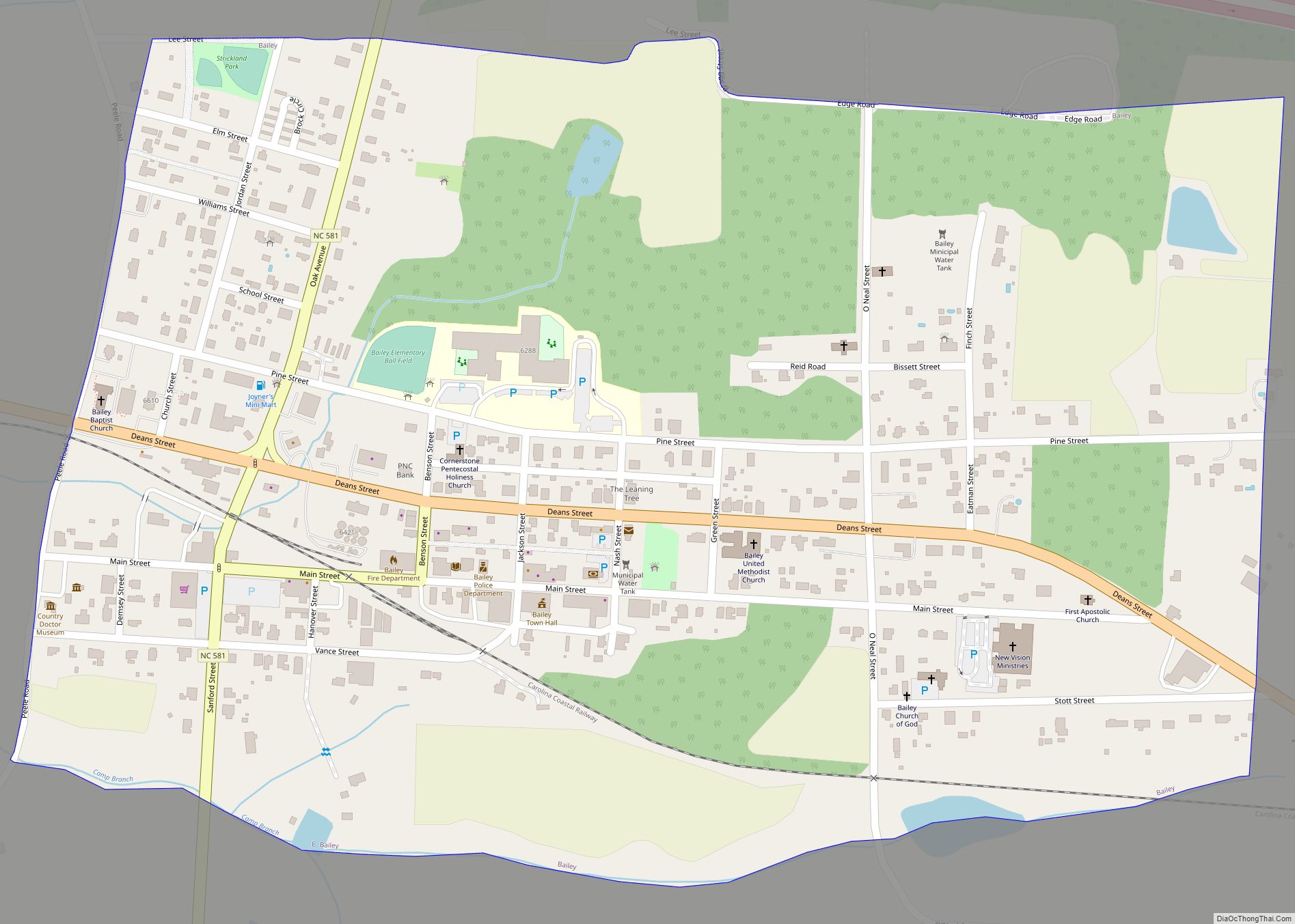
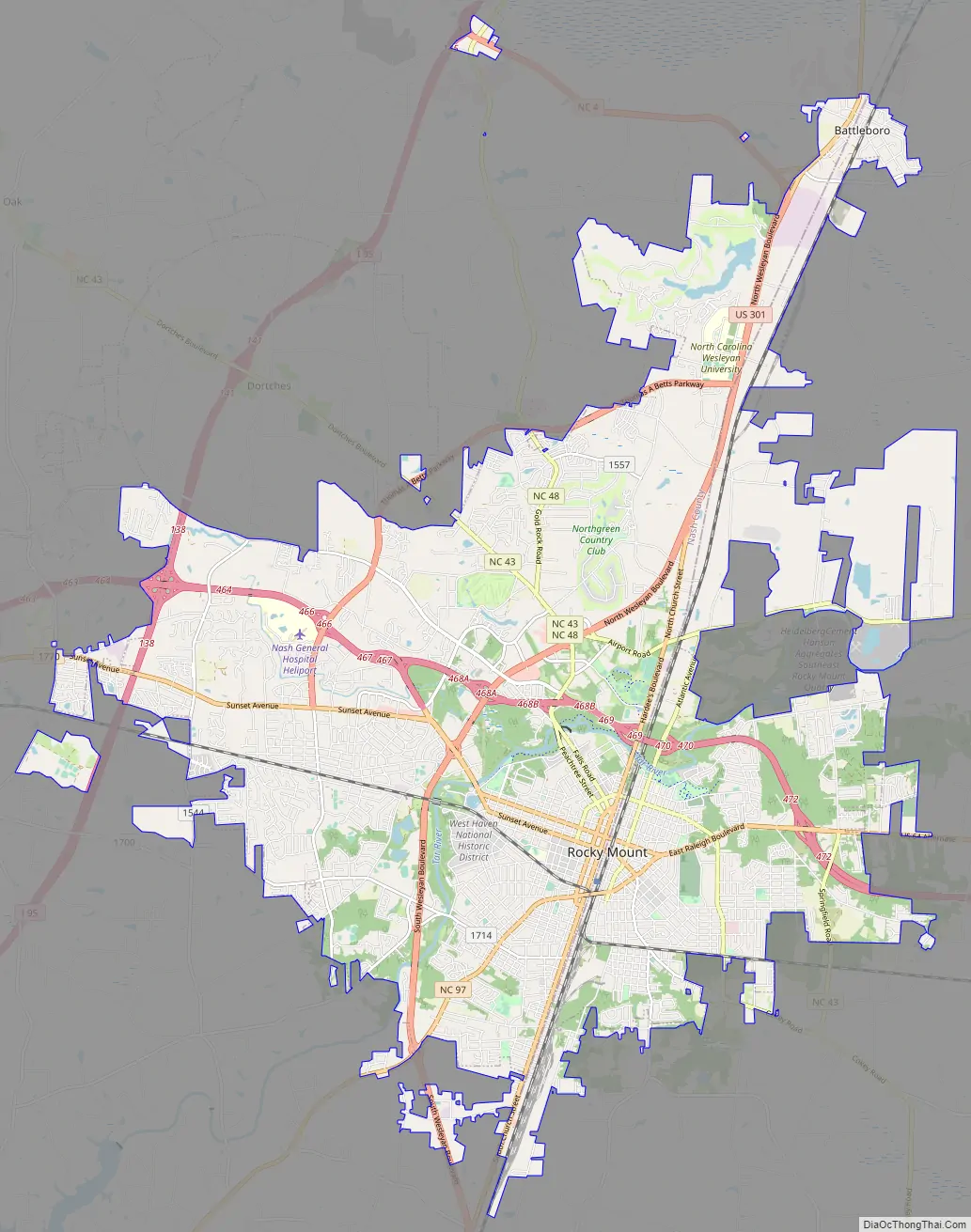
Rocky Mount Road Map
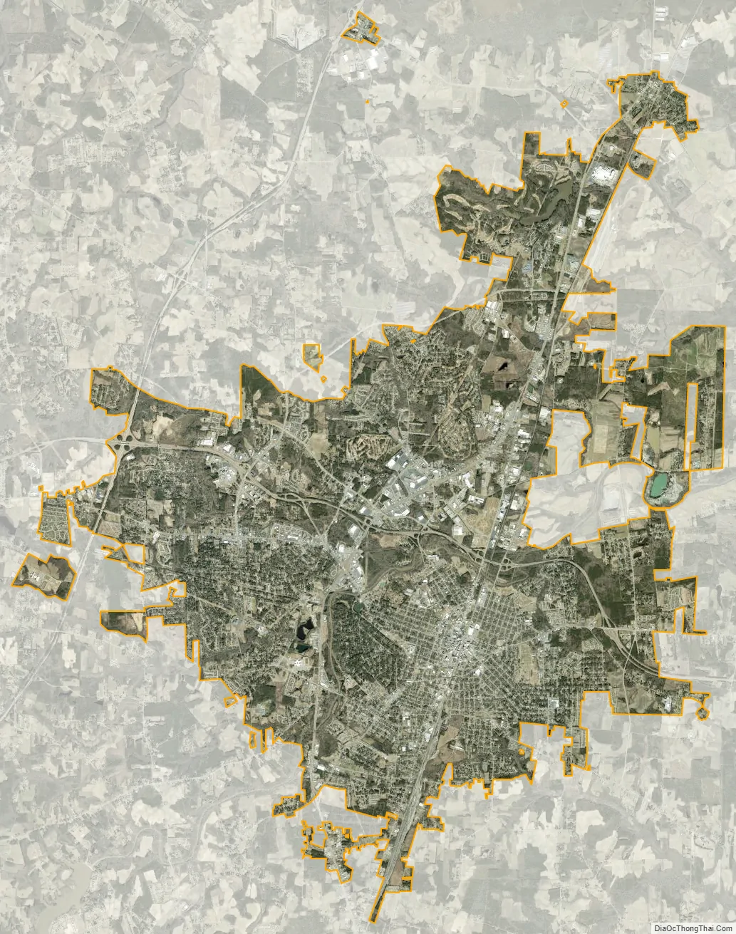
Rocky Mount city Satellite Map
Geography
Rocky Mount is located in northeastern North Carolina, at the fall line between the Atlantic Coastal Plain to the east and the Piedmont region to the west. The city is 58 miles (93 km) east of Raleigh, the state capital, 91 miles (146 km) northeast of Fayetteville, 144 miles (232 km) north of Wilmington, 19 miles (31 km) north of Wilson, 42 miles (68 km) south of Roanoke Rapids, and 127 miles (204 km) south of Richmond, Virginia.
According to the United States Census Bureau, the city has a total area of 104.9 square miles (271.8 km), of which 104.6 square miles (270.8 km) is land and 0.4 square miles (1.0 km), or 0.35%, is covered by water. The Tar River passes through the city from west to east, crossing the fall line at Upper Falls and Little Falls and descending 25 feet (7.6 m) within the city limits. The city boundaries straddle the line between Edgecombe and Nash counties, which follows the railroad tracks through the center of the city running north to south.
Neighborhoods
Situated near the Tar River, the Rocky Mount Mills Village grew in the late 19th and early 20th centuries as a small community of tenants working for the mill. Built between 1885 and 1940, each home in the historic district is recognized by the National Register of Historic Places. Changes in industrialization eventually forced the closing of the mill, and this way of life came to an end. However, when the mill closed, the property remained intact. Though the property has been a rental for its entire existence, covenants are placed on the property to assure home ownership and owner occupancy and protect the historical integrity.
Climate
Rocky Mount has a humid subtropical climate (Köppen Cfa) characterized by cool, sometimes moderately cold winters, and hot, humid summers. The average high temperatures range from 51 °F (11 °C) in the winter to around 90 °F (32 °C) in the summer. The average low temperatures range from 31 °F (−1 °C) in the winter to around 69 °F (21 °C) in the summer.
See also
Map of North Carolina State and its subdivision:- Alamance
- Alexander
- Alleghany
- Anson
- Ashe
- Avery
- Beaufort
- Bertie
- Bladen
- Brunswick
- Buncombe
- Burke
- Cabarrus
- Caldwell
- Camden
- Carteret
- Caswell
- Catawba
- Chatham
- Cherokee
- Chowan
- Clay
- Cleveland
- Columbus
- Craven
- Cumberland
- Currituck
- Dare
- Davidson
- Davie
- Duplin
- Durham
- Edgecombe
- Forsyth
- Franklin
- Gaston
- Gates
- Graham
- Granville
- Greene
- Guilford
- Halifax
- Harnett
- Haywood
- Henderson
- Hertford
- Hoke
- Hyde
- Iredell
- Jackson
- Johnston
- Jones
- Lee
- Lenoir
- Lincoln
- Macon
- Madison
- Martin
- McDowell
- Mecklenburg
- Mitchell
- Montgomery
- Moore
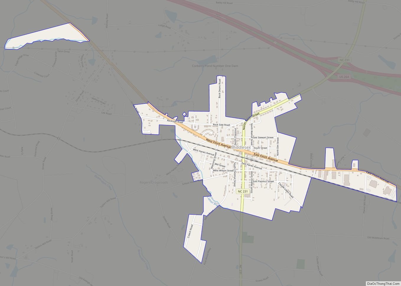
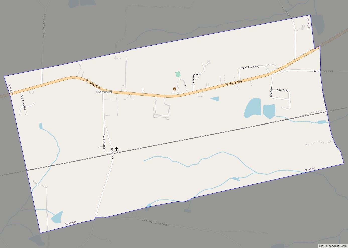
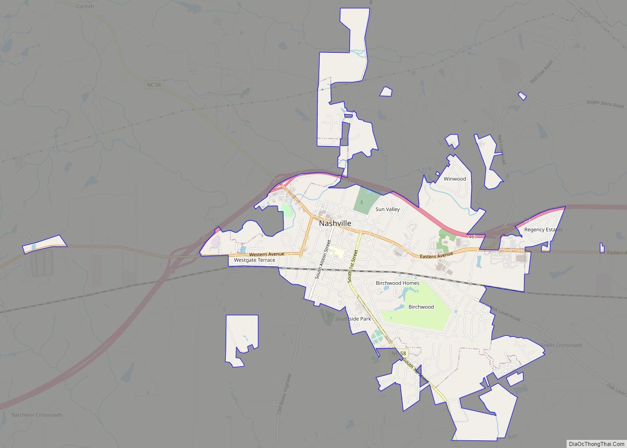
- Nash
- New Hanover
- Northampton
- Onslow
- Orange
- Pamlico
- Pasquotank
- Pender
- Perquimans
- Person
- Pitt
- Polk
- Randolph
- Richmond
- Robeson
- Rockingham
- Rowan
- Rutherford
- Sampson
- Scotland
- Stanly
- Stokes
- Surry
- Swain
- Transylvania
- Tyrrell
- Union
- Vance
- Wake
- Warren
- Washington
- Watauga
- Wayne
- Wilkes
- Wilson
- Yadkin
- Yancey
- Alabama
- Alaska
- Arizona
- Arkansas
- California
- Colorado
- Connecticut
- Delaware
- District of Columbia
- Florida
- Georgia
- Hawaii
- Idaho
- Illinois
- Indiana
- Iowa
- Kansas
- Kentucky
- Louisiana
- Maine
- Maryland
- Massachusetts
- Michigan
- Minnesota
- Mississippi
- Missouri
- Montana
- Nebraska
- Nevada
- New Hampshire
- New Jersey
- New Mexico
- New York
- North Carolina
- North Dakota
- Ohio
- Oklahoma
- Oregon
- Pennsylvania
- Rhode Island
- South Carolina
- South Dakota
- Tennessee
- Texas
- Utah
- Vermont
- Virginia
- Washington
- West Virginia
- Wisconsin
- Wyoming