Wolfe County is a county located in the U.S. state of Kentucky. As of the 2020 census, the population was 6,562. Its county seat is Campton. The county is named for Nathaniel Wolfe.
| Name: | Wolfe County |
|---|---|
| FIPS code: | 21-237 |
| State: | Kentucky |
| Founded: | 1860 |
| Named for: | The Wolfe family out of Western North Carolina |
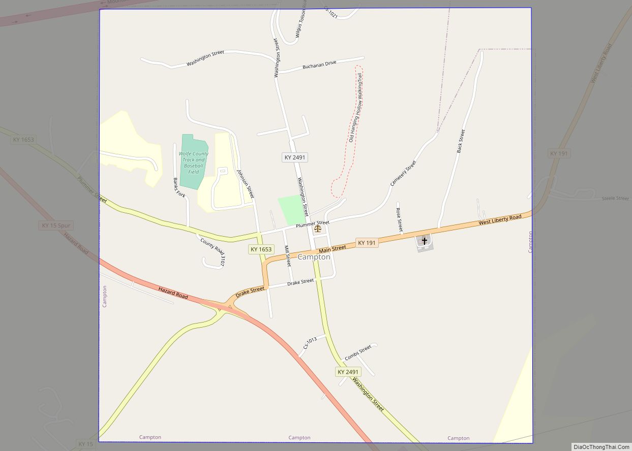
| Seat: | Campton |
| Largest city: | Campton |
| Total Area: | 223 sq mi (580 km²) |
| Land Area: | 222 sq mi (570 km²) |
| Total Population: | 6,562 |
| Population Density: | 29/sq mi (11/km²) |
| Time zone: | UTC−5 (Eastern) |
| Summer Time Zone (DST): | UTC−4 (EDT) |
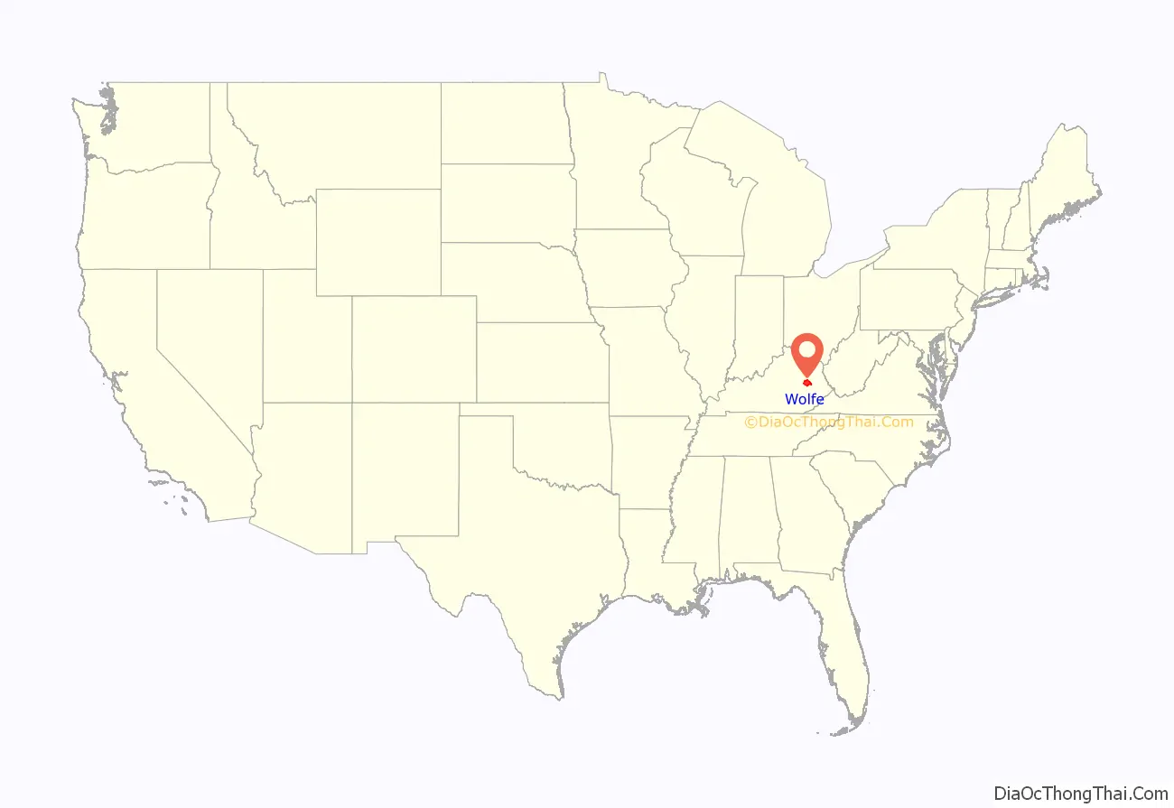
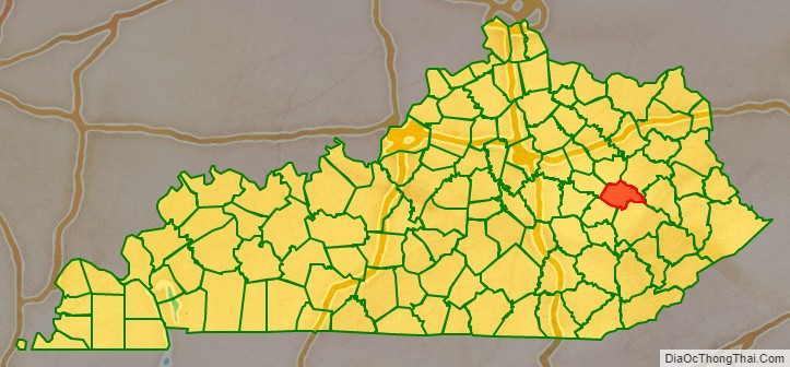
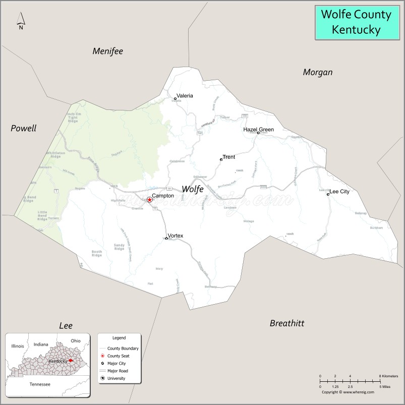
Wolfe County location map. Where is Wolfe County?
History
Wolfe County was formed on March 5, 1860, from portions of Breathitt County, Morgan County, Owsley County and Powell County. It was named for Nathaneal Wolfe, a member of the legislative assembly.
Campton, the county’s seat was reportedly formed from camp town in Wolfe County. A small creek winding through Campton, Swift Creek, is named after Jonathan Swift of the legend of Swift’s silver mine. Swift supposedly buried treasure in the area which has never been recovered.
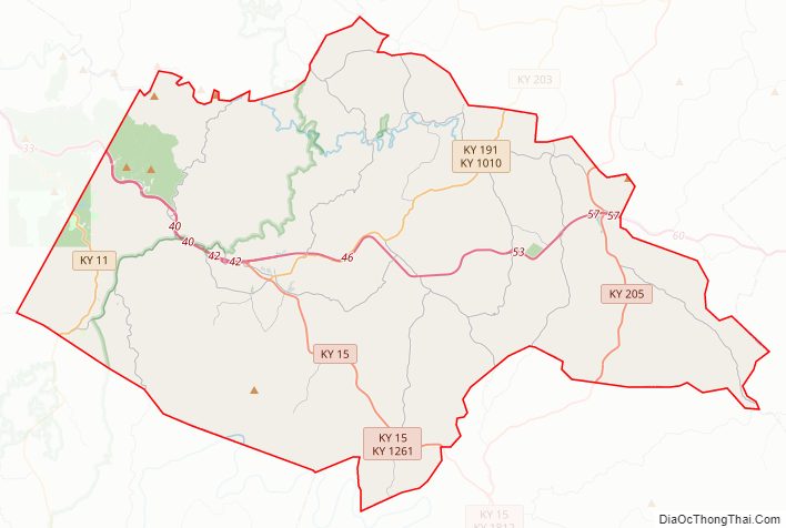
Wolfe County Road Map
Geography
According to the U.S. Census Bureau, the county has a total area of 223 square miles (580 km), of which 222 square miles (570 km) is land and 0.6 square miles (1.6 km) (0.3%) is water.
Adjacent counties
- Menifee County (north)
- Morgan County (northeast)
- Magoffin County (east)
- Breathitt County (southeast)
- Lee County (southwest)
- Powell County (northwest)
National protected area
- Daniel Boone National Forest (part)
State protected area
- Natural Bridge State Resort Park, home to Torrent falls
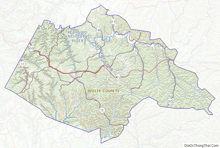
Wolfe County Topographic Map
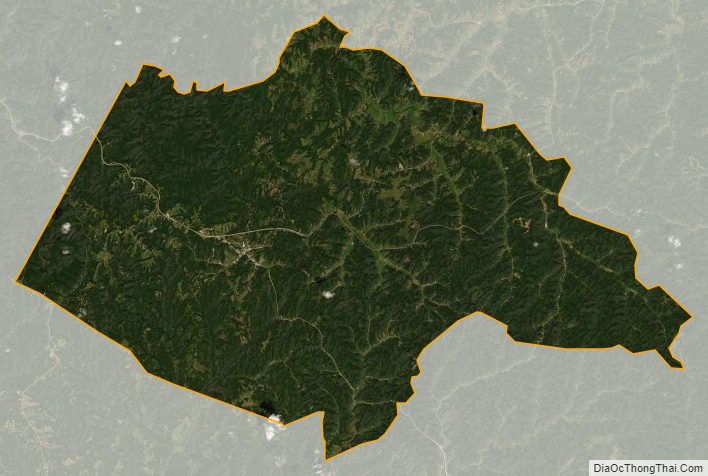
Wolfe County Satellite Map
Wolfe County Outline Map