Breathitt County (/ˈbrɛˌθɪt/ BREH-thit) is a county in the eastern Appalachian portion of the U.S. state of Kentucky. As of the 2020 census, the population was 13,718. Its county seat is Jackson. The county was formed in 1839 and was named for John Breathitt, who was Governor of Kentucky from 1832 to 1834. Breathitt County was a prohibition or dry county, until a public vote in July 2016 that allowed alcohol sales.
| Name: | Breathitt County |
|---|---|
| FIPS code: | 21-025 |
| State: | Kentucky |
| Founded: | 1839 |
| Named for: | John Breathitt |
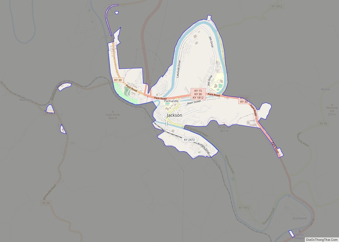
| Seat: | Jackson |
| Largest city: | Jackson |
| Total Area: | 495 sq mi (1,280 km²) |
| Land Area: | 492 sq mi (1,270 km²) |
| Total Population: | 13,718 |
| Population Density: | 28/sq mi (11/km²) |
| Time zone: | UTC−5 (Eastern) |
| Summer Time Zone (DST): | UTC−4 (EDT) |
| Website: | breathittcounty.ky.gov |
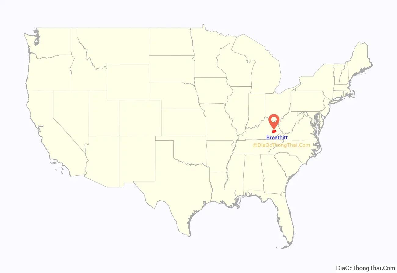
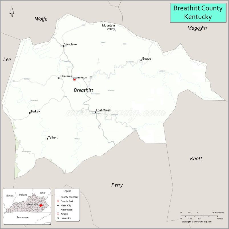
Breathitt County location map. Where is Breathitt County?
History
The area now encompassed by Kentucky’s Breathitt County was first bounded in 1772, when all of what is now the state of Kentucky was in the frontier county of Fincastle County, Virginia. Fincastle was divided in 1776, with the western portion named Kentucky County, Virginia. In 1780, Virginia set aside all land in Kentucky County for soldiers who had served in the Revolutionary War. In 1780, Kentucky County was divided into 3 counties, Jefferson, Fayette, and Lincoln. Lincoln County was divided in 1799, with part becoming Knox County. In 1807, the Legislature partitioned the upper part of Knox to create Clay County. On February 6, 1839, a portion of Clay (along with portions of Estill and Perry Counties) was partitioned off to create Breathitt County. It was named for Governor John Breathitt.
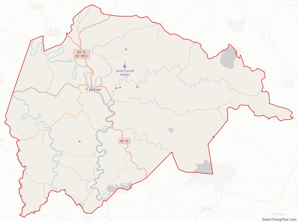
Breathitt County Road Map
Geography
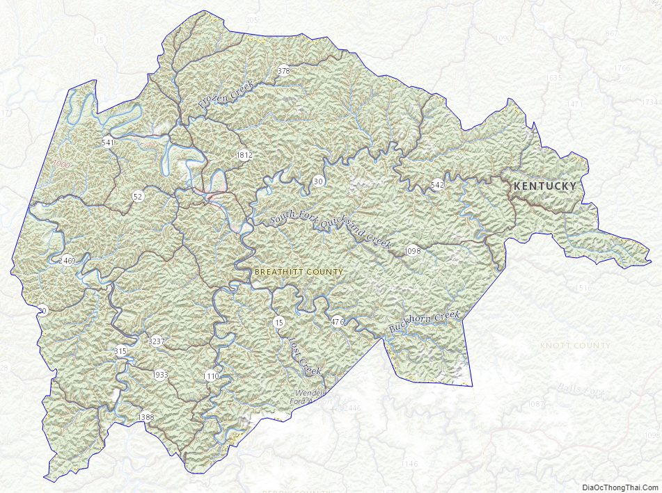
According to the United States Census Bureau, the county has a total area of 495 square miles (1,280 km), of which 492 square miles (1,270 km) is land and 2.9 square miles (7.5 km) (0.6%) is water.
The North and Middle Forks of the Kentucky River pass through the county as the main water drainages.
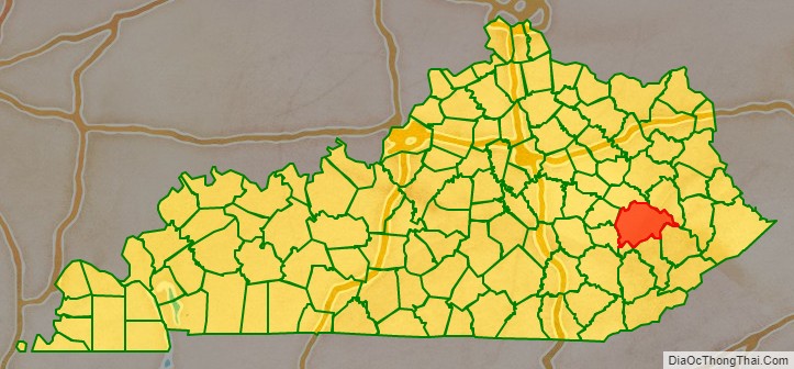
Adjacent counties
- Wolfe County – northwest
- Magoffin County – northeast
- Knott County – east
- Perry County – southeast
- Owsley County – southwest
- Lee County – west
Breathitt County Topographic Map
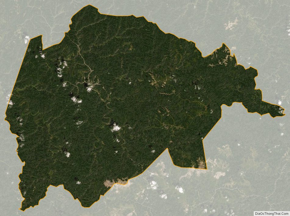
Breathitt County Satellite Map
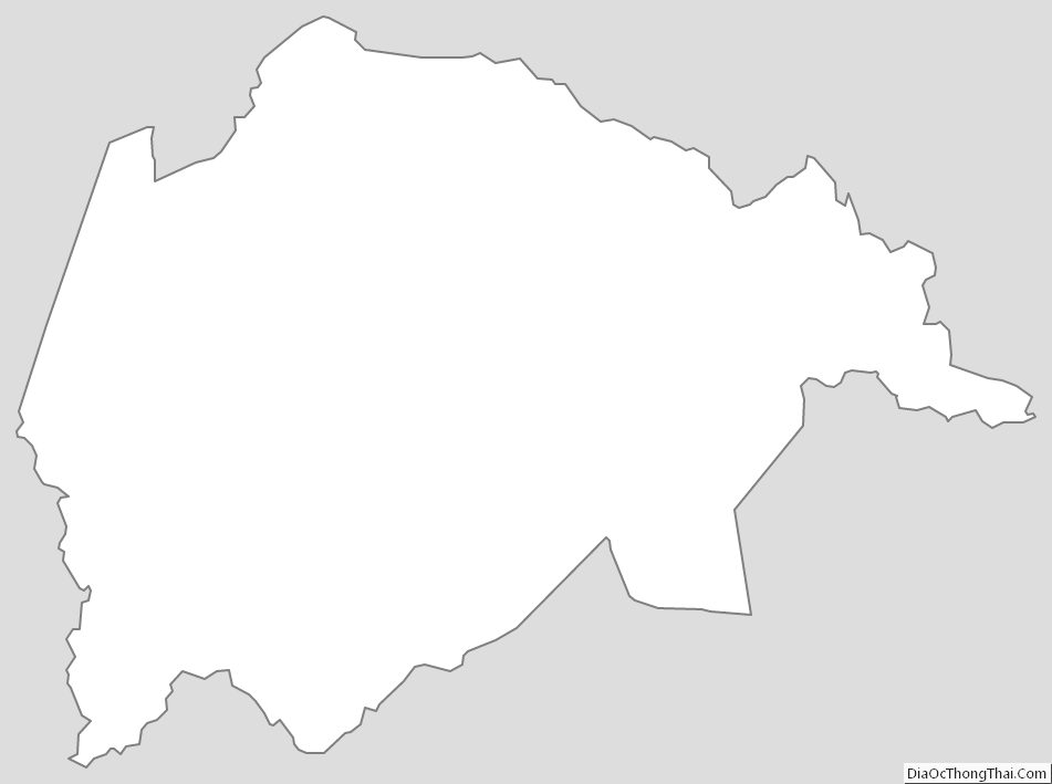
Breathitt County Outline Map