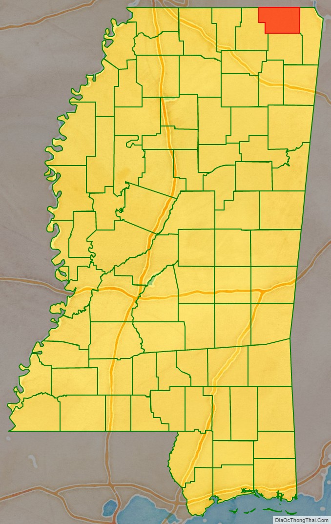
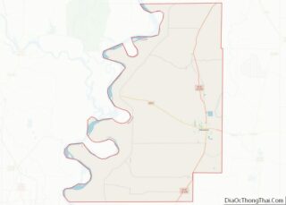
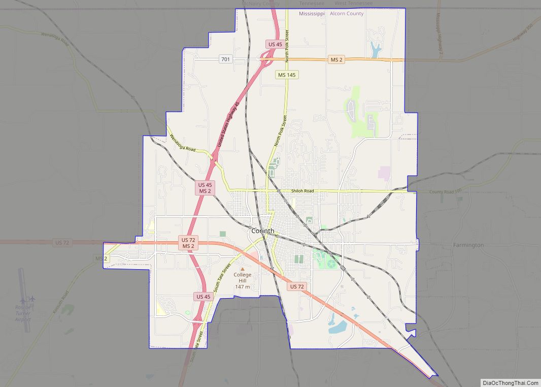
Alcorn County is a county located in the northeastern portion of the U.S. state of Mississippi. As of the 2020 census, the population was 34,740. Its county seat is Corinth. The county is named in honor of Governor James L. Alcorn.
The Corinth Micropolitan Statistical Area includes all of Alcorn County.
| Name: | Alcorn County |
|---|---|
| FIPS code: | 28-003 |
| State: | Mississippi |
| Founded: | 1870 |
| Named for: | James L. Alcorn |
| Seat: | Corinth |
| Largest city: | Corinth |
| Total Area: | 401 sq mi (1,040 km²) |
| Land Area: | 400 sq mi (1,000 km²) |
| Total Population: | 34,740 |
| Population Density: | 87/sq mi (33/km²) |
| Time zone: | UTC−6 (Central) |
| Summer Time Zone (DST): | UTC−5 (CDT) |
| Website: | www.alcorncounty.org |
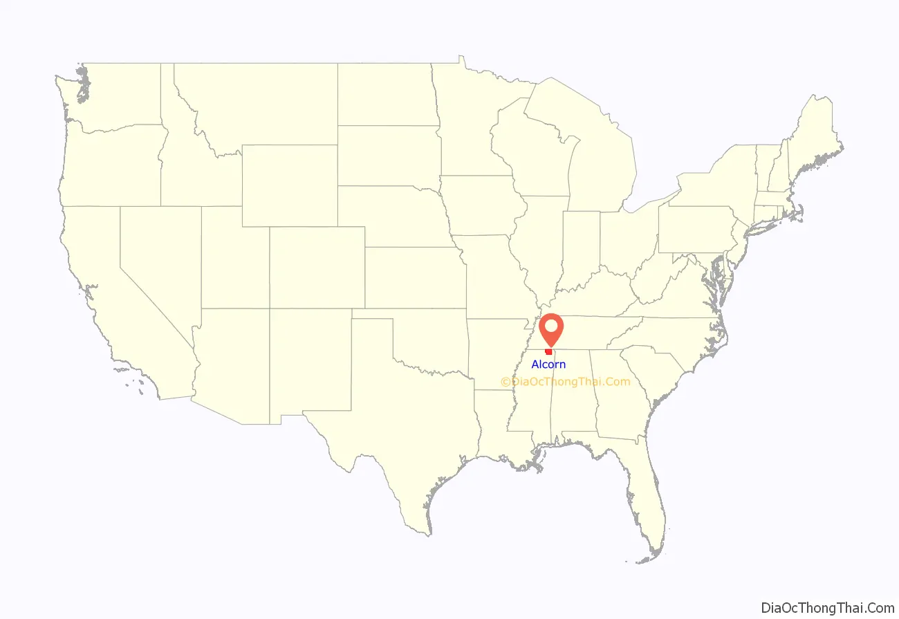
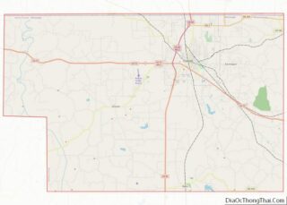
Alcorn County location map. Where is Alcorn County?
History
Alcorn County was formed in 1870 from portions of Tippah and Tishomingo counties. It was the site of the Siege of Corinth, an early campaign in the American Civil War.
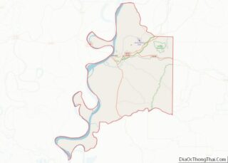
Alcorn County Road Map
Geography
According to the U.S. Census Bureau, the county has a total area of 401 square miles (1,040 km), of which 400 square miles (1,000 km) is land and 1.3 square miles (3.4 km) (0.3%) is water. It is the smallest county by area in Mississippi. The Tuscumbia and Hatchie rivers intersect the county.
Major highways
- U.S. Route 45
- U.S. Route 72
- Mississippi Highway 2
Adjacent counties
- McNairy County, Tennessee (north)
- Hardin County, Tennessee (northeast)
- Tishomingo County (east)
- Prentiss County (south)
- Tippah County (west)
- Hardeman County, Tennessee (northwest)
National protected area
- Shiloh National Military Park (part)
