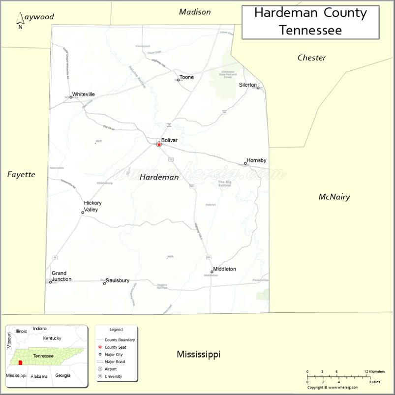
Hardeman County is a county located in the U.S. state of Tennessee. As of the 2020 census, the population was 25,462. Its county seat is Bolivar.
| Name: | Hardeman County |
|---|---|
| FIPS code: | 47-069 |
| State: | Tennessee |
| Founded: | 1823 |
| Named for: | Thomas J. Hardeman |
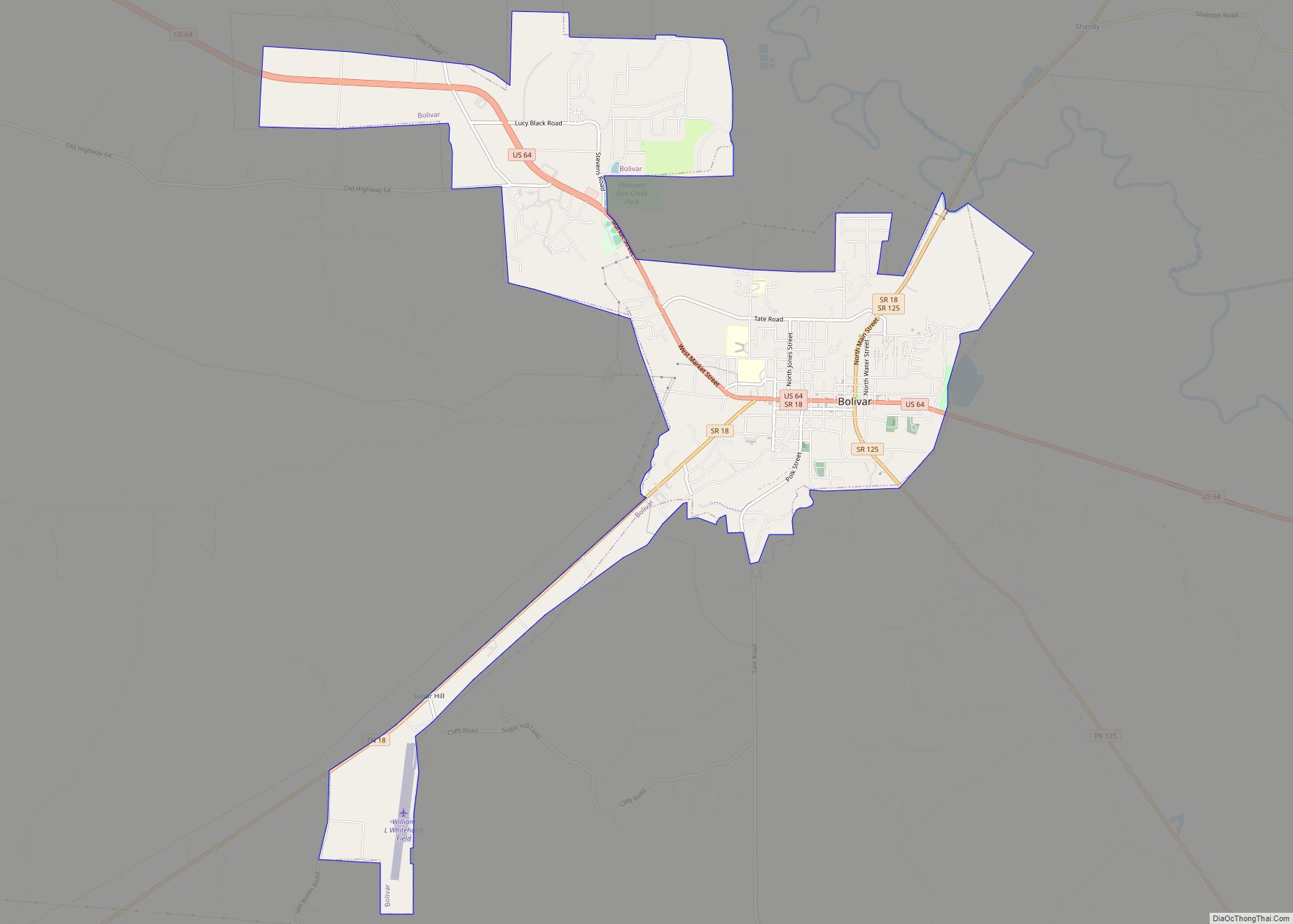
| Seat: | Bolivar |
| Largest city: | Bolivar |
| Total Area: | 670 sq mi (1,700 km²) |
| Land Area: | 668 sq mi (1,730 km²) |
| Total Population: | 25,462 |
| Population Density: | 41/sq mi (16/km²) |
| Time zone: | UTC−6 (Central) |
| Summer Time Zone (DST): | UTC−5 (CDT) |
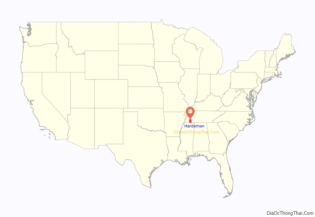
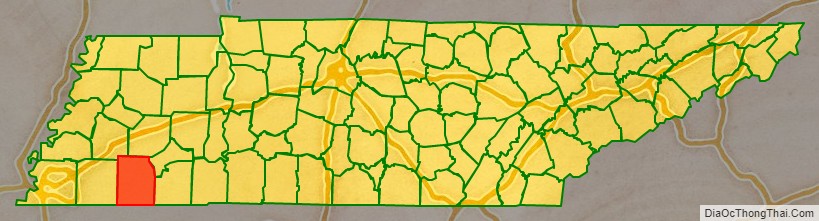
Hardeman County location map. Where is Hardeman County?
History
Hardeman County was created by the Tennessee General Assembly in 1823 from parts of Hardin County and “Indian lands.” It is named for Thomas J. Hardeman (1788-1854), a veteran of the Creek War and War of 1812 and a prominent figure in the fight for Texas independence. He served as a congressman in the Republic of Texas.
The county is the location of two of Tennessee’s four private prisons, the Whiteville Correctional Facility and the Hardeman County Correctional Center. Both are medium-security facilities for men, operated by the Corrections Corporation of America.
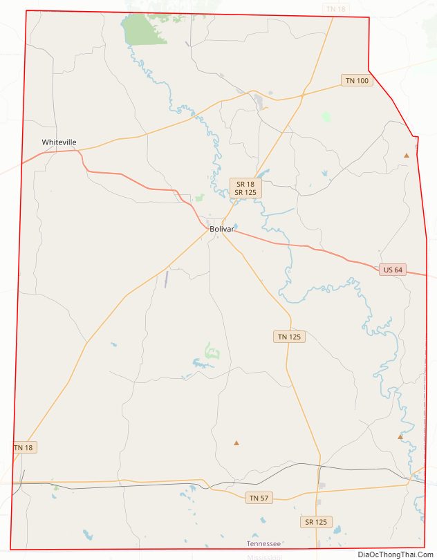
Hardeman County Road Map
Geography
According to the U.S. Census Bureau, the county has a total area of 670 square miles (1,700 km), of which 668 square miles (1,730 km) is land and 2.6 square miles (6.7 km) (0.4%) is water. It is the fifth-largest county in Tennessee by area.
Adjacent counties
- Madison County (north)
- Chester County (northeast)
- McNairy County (east)
- Alcorn County, Mississippi (southeast)
- Tippah County, Mississippi (south)
- Benton County, Mississippi (southwest)
- Fayette County (west)
- Haywood County (northwest)
National protected areas
- Hatchie National Wildlife Refuge
State protected areas
- Chickasaw State Park (part)
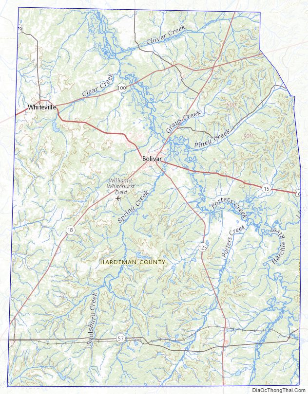
Hardeman County Topographic Map
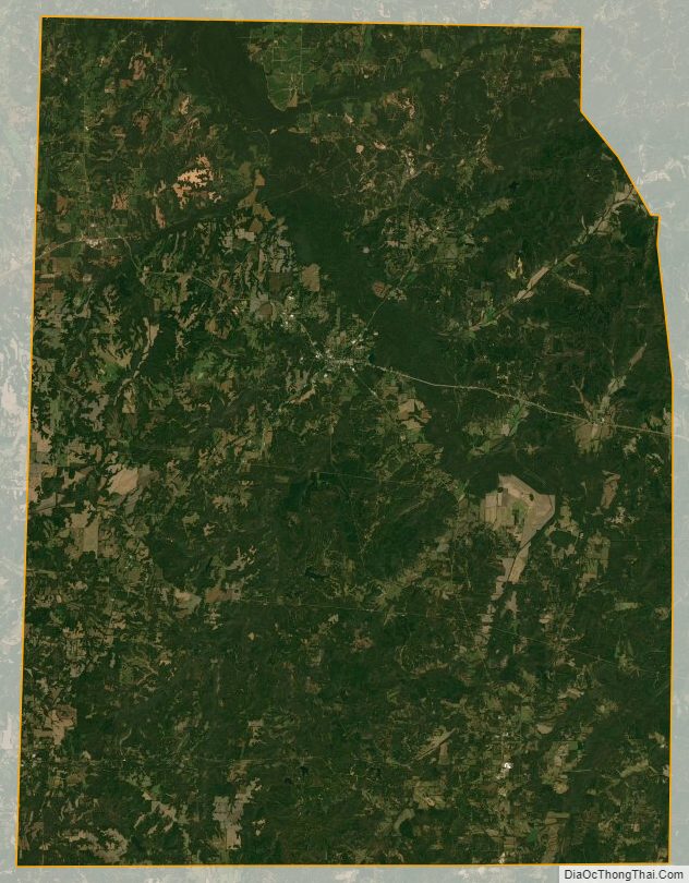
Hardeman County Satellite Map
Hardeman County Outline Map