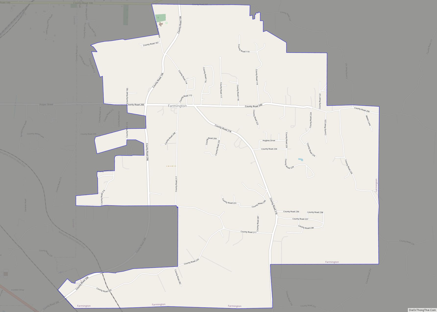
Farmington is a town in Alcorn County, Mississippi. The population was 2,186 at the 2010 census.
| Name: | Farmington town |
|---|---|
| LSAD Code: | 43 |
| LSAD Description: | town (suffix) |
| State: | Mississippi |
| County: | Alcorn County |
| Elevation: | 522 ft (159 m) |
| Total Area: | 6.40 sq mi (16.56 km²) |
| Land Area: | 6.38 sq mi (16.53 km²) |
| Water Area: | 0.01 sq mi (0.04 km²) |
| Total Population: | 2,055 |
| Population Density: | 322.05/sq mi (124.35/km²) |
| ZIP code: | 38834 |
| Area code: | 662 |
| FIPS code: | 2824420 |
| GNISfeature ID: | 0669915 |
| Website: | www.farmingtonms.com |
Online Interactive Map
Click on ![]() to view map in "full screen" mode.
to view map in "full screen" mode.
Farmington location map. Where is Farmington town?


History
Before 1850, Farmington was a prosperous village. Its prosperity suffered a blow, however, when it was bypassed during the construction of the Memphis & Charleston Railroad.
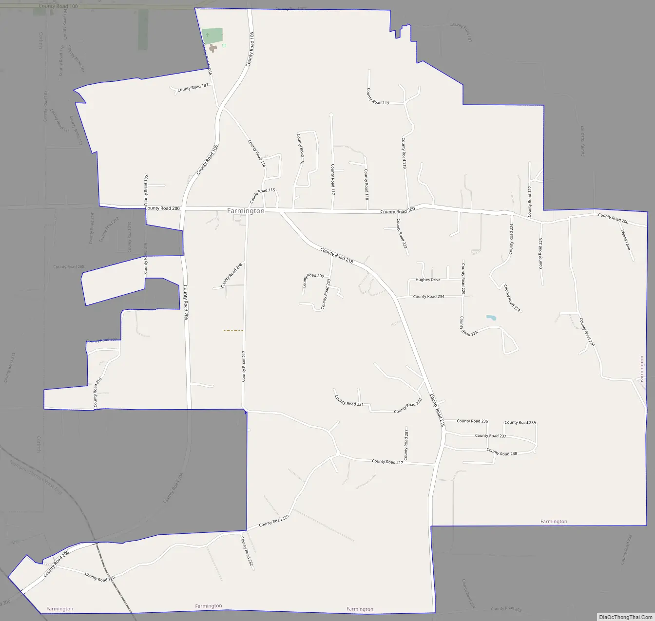
Farmington Road Map
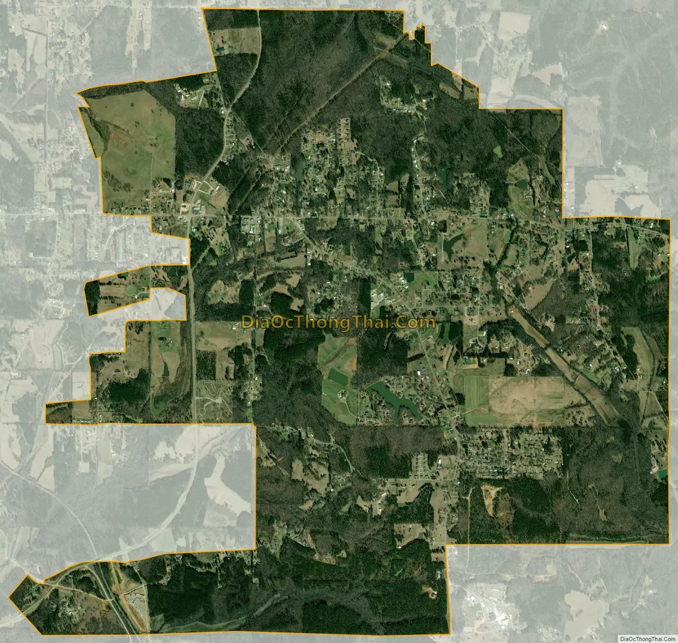
Farmington city Satellite Map
Geography
According to the United States Census Bureau, the town has a total area of 6.4 square miles (16.6 km), of which 0.015 square miles (0.04 km), or 0.26%, is water.
Communities near Farmington
- Burnsville – 9.94 miles (16.00 km)
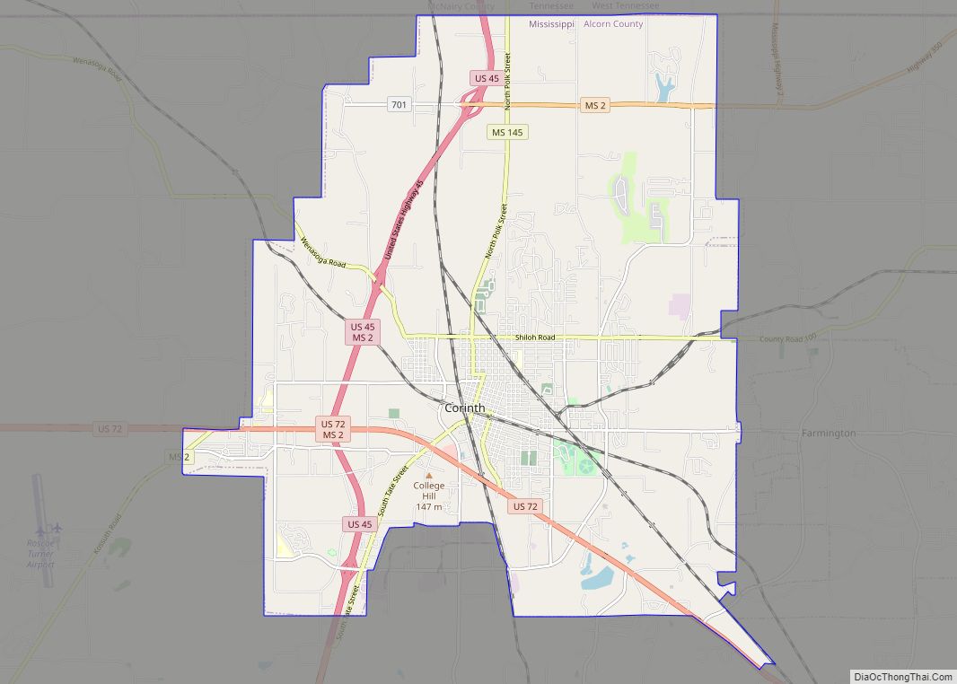
- Corinth – 3.97 miles (6.39 km)
- Guys, Tennessee – 9.41 miles (15.14 km)
- Michie, Tennessee – 8.76 miles (14.10 km)
- Ramer, Tennessee – 13.61 miles (21.90 km)
See also
Map of Mississippi State and its subdivision:- Adams
- Alcorn
- Amite
- Attala
- Benton
- Bolivar
- Calhoun
- Carroll
- Chickasaw
- Choctaw
- Claiborne
- Clarke
- Clay
- Coahoma
- Copiah
- Covington
- Desoto
- Forrest
- Franklin
- George
- Greene
- Grenada
- Hancock
- Harrison
- Hinds
- Holmes
- Humphreys
- Issaquena
- Itawamba
- Jackson
- Jasper
- Jefferson
- Jefferson Davis
- Jones
- Kemper
- Lafayette
- Lamar
- Lauderdale
- Lawrence
- Leake
- Lee
- Leflore
- Lincoln
- Lowndes
- Madison
- Marion
- Marshall
- Monroe
- Montgomery
- Neshoba
- Newton
- Noxubee
- Oktibbeha
- Panola
- Pearl River
- Perry
- Pike
- Pontotoc
- Prentiss
- Quitman
- Rankin
- Scott
- Sharkey
- Simpson
- Smith
- Stone
- Sunflower
- Tallahatchie
- Tate
- Tippah
- Tishomingo
- Tunica
- Union
- Walthall
- Warren
- Washington
- Wayne
- Webster
- Wilkinson
- Winston
- Yalobusha
- Yazoo
- Alabama
- Alaska
- Arizona
- Arkansas
- California
- Colorado
- Connecticut
- Delaware
- District of Columbia
- Florida
- Georgia
- Hawaii
- Idaho
- Illinois
- Indiana
- Iowa
- Kansas
- Kentucky
- Louisiana
- Maine
- Maryland
- Massachusetts
- Michigan
- Minnesota
- Mississippi
- Missouri
- Montana
- Nebraska
- Nevada
- New Hampshire
- New Jersey
- New Mexico
- New York
- North Carolina
- North Dakota
- Ohio
- Oklahoma
- Oregon
- Pennsylvania
- Rhode Island
- South Carolina
- South Dakota
- Tennessee
- Texas
- Utah
- Vermont
- Virginia
- Washington
- West Virginia
- Wisconsin
- Wyoming